The best walks and hikes around Niederdorf
4.6
(4674)
22,805
hikers
869
hikes
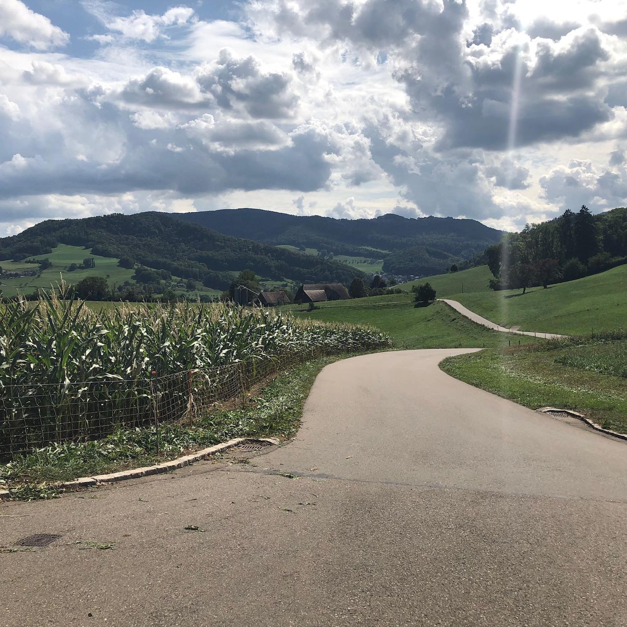
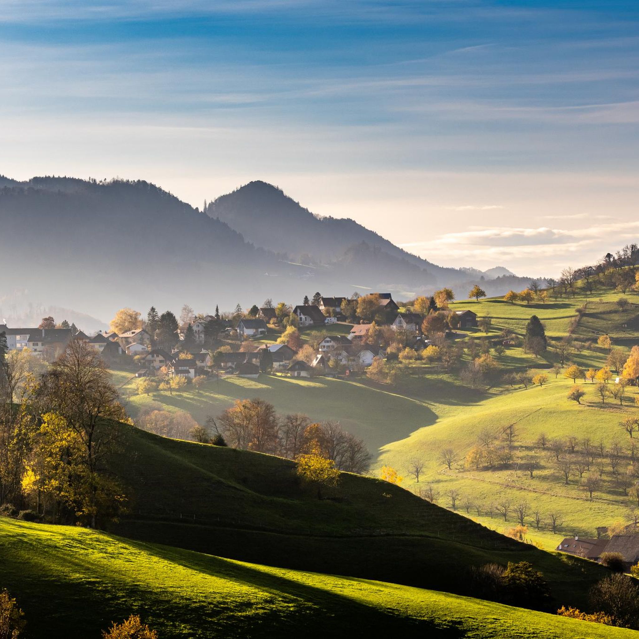
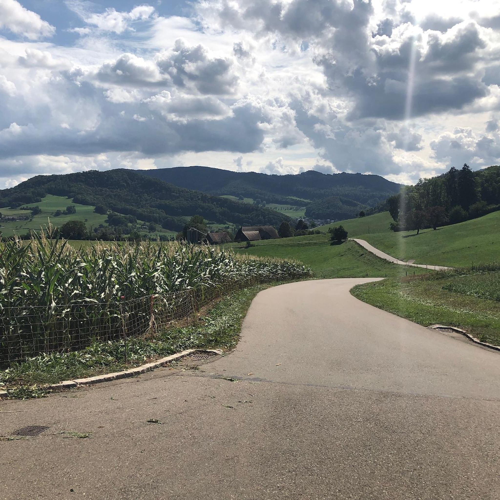
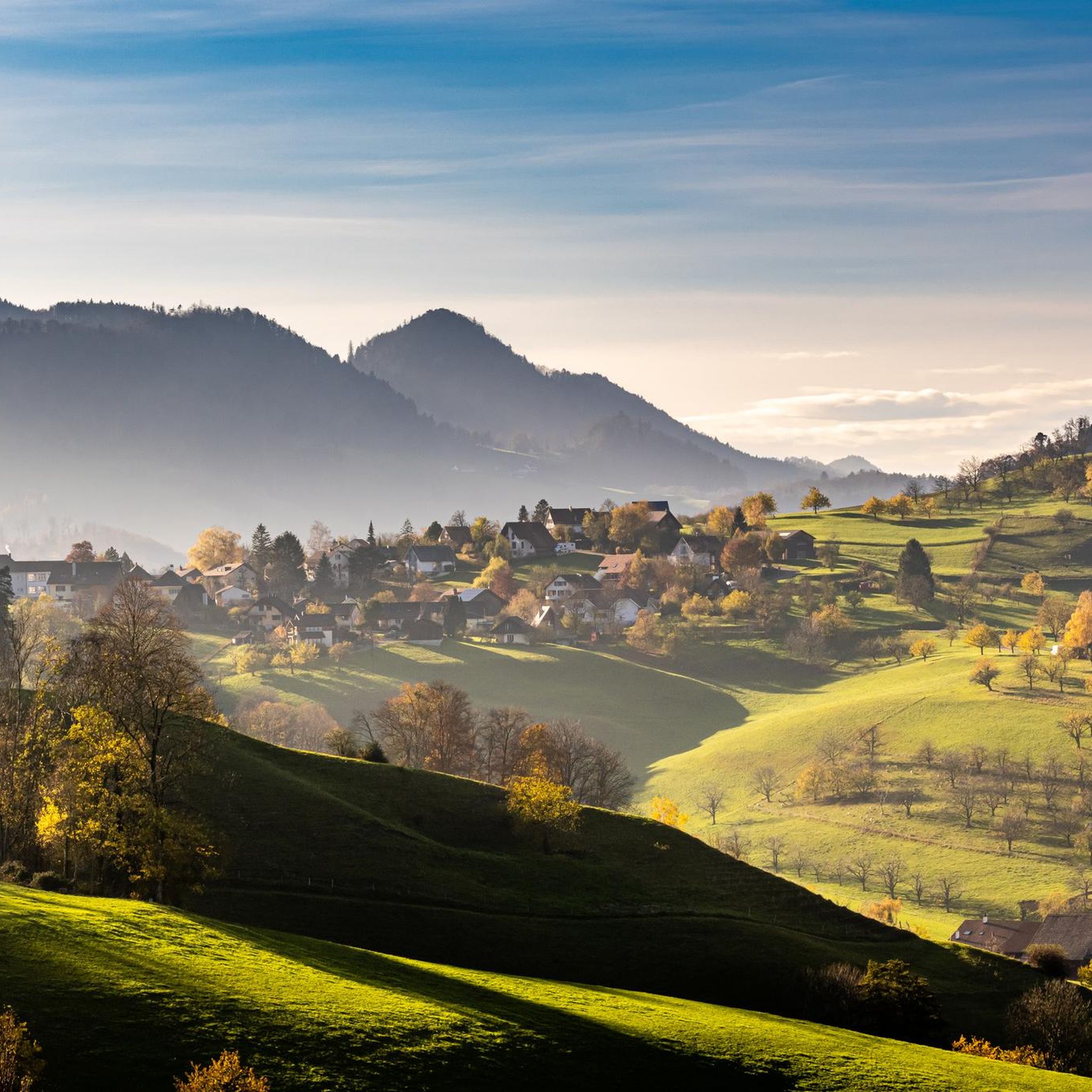
Hiking around Niederdorf offers a diverse landscape characterized by rolling hills, dense woodlands, and historical sites. The region features a network of trails that traverse varied terrain, including paths leading to castles, waterfalls, and defensive structures. Hikers can explore areas with moderate elevation changes and enjoy natural scenery alongside cultural landmarks.
Best hiking trails around Niederdorf
- The most popular hiking route is World War I Defensive Wall – Fortification Hauenstein loop from Oberdorf BL, a 12.9 miles (20.8 km)…
Last updated: September 30, 2026
5.0
(4)
12
hikers
20.8km
07:12
1,060m
1,060m
Hard hike. Very good fitness required. Mostly accessible paths. Sure-footedness required.
5.0
(2)
24
hikers
Easy hike. Great for any fitness level. Easily-accessible paths. Suitable for all skill levels.

5.0
(15)
96
hikers
Moderate hike. Good fitness required. Easily-accessible paths. Suitable for all skill levels.
7
hikers
10.9km
03:17
350m
350m
Moderate hike. Good fitness required. Mostly accessible paths. Sure-footedness required.
17
hikers
Easy hike. Great for any fitness level. Easily-accessible paths. Suitable for all skill levels.
Get access to more routes and recommendations from other explorers.
Already have an account?
Our route recommendations are based on thousands of hikes, rides, and runs completed by other people on komoot.
Start today with a free account
Your next adventure awaits.


Tips from the Community

Unfortunately, there is a busy road right next to it, but the rock formations are worth seeing. In early summer, the magnificent Carthusian pink blooms here.
0
0

An artfully constructed, narrow path leads to the Sormatt waterfall. Accessible either from the Arxhof road or from Wildenstein Castle. Due to the extensive use of wood, the path can be very slippery when wet.
5
0

Very wide erosion funnels with benches in the rock. The two-part waterfall can also be climbed completely for the brave.2
2
0
A wonderful, wild castle ruin, protected from overgrowth by private individuals. Enter at your own risk. Barbecue areas are available both in front of and on the ruins.
0
0
The St. Michael Chapel in Onoldswil was one of the first in the area, but was later destroyed by a landslide. The story is told on the plaque!
0
0

A brief look back and relics of history. Some information boards along the way describe the events of that time and provide good background information.
2
0

From this point you can see the pre-Alpine Jura Mountains. If the weather is good, you can see the Swiss Alps behind them.
1
0

Interesting information trail about the First World War
1
0
Frequently Asked Questions
How many hiking trails are available around Niederdorf?
Niederdorf offers a wide selection of hiking opportunities, with over 890 routes available. These range from easy strolls through rolling hills to more challenging day hikes across varied terrain.
What types of landscapes can I expect to see while hiking in Niederdorf?
Hiking in Niederdorf is characterized by diverse landscapes, including rolling hills, dense woodlands, and historical sites. You'll find paths that traverse varied terrain, leading to castles, waterfalls, and defensive structures, offering a blend of natural beauty and cultural landmarks.
Are there any easy hiking trails suitable for beginners in Niederdorf?
Yes, Niederdorf has plenty of options for beginners, with over 370 easy routes. An excellent choice is the Wildenstein Castle Farm Shop – Wildenstein Castle Pond loop from Hölstein, a gentle 4 km path that takes just over an hour to complete, perfect for a relaxed walk.
Can I find circular hiking routes in Niederdorf?
Many of the trails around Niederdorf are designed as loops, allowing you to start and end at the same point. For example, the
Are there any hikes that feature waterfalls in Niederdorf?
Absolutely! The region boasts beautiful natural features, including waterfalls. You can explore the Wildenstein Castle – Sormatt Waterfall loop from Bubendorf, a moderate 10.8 km trail that leads through wooded areas and directly past the Sormatt Waterfall.
What historical sites can I discover on hikes around Niederdorf?
Niederdorf is rich in history, with trails leading to various historical landmarks. A notable route is the World War I Defensive Wall – Fortification Hauenstein loop from Oberdorf BL, which explores historical fortifications and offers insights into the region's past.
What do other hikers say about the trails in Niederdorf?
The hiking routes in Niederdorf are highly regarded by the komoot community, holding an impressive average score of 4.6 stars from over 3900 reviews. Hikers frequently praise the varied terrain, the blend of natural scenery with historical sites, and the well-maintained paths.
Are there any mountain inns or restaurants along the hiking trails in Niederdorf?
Yes, you'll find several welcoming spots to rest and refuel. Highlights include the Ober-Bölchen Mountain Inn and the Blüemlismatt Mountain Restaurant, offering opportunities to enjoy local hospitality amidst your hike.
What are some notable viewpoints or summits accessible by hiking in Niederdorf?
For panoramic views, consider hikes that lead to elevated points. The Wisenberg Observation Tower and the Belchenflue Summit Viewpoint offer breathtaking vistas of the surrounding landscape. You can also reach the Hinteri Egg – Highest Point of Basel-Landschaft for a significant achievement.
Are there any trails that lead to a mountain station or cable car in Niederdorf?
Yes, you can hike towards the Wasserfallen Mountain Station. A popular route is the Wasserfallenhof Lama Trekking – Wasserfallen Mountain Station loop from Oberdorf BL, which provides varied terrain and ascents to this scenic spot.
What is the most challenging hike available in Niederdorf?
For experienced hikers seeking a challenge, the World War I Defensive Wall – Fortification Hauenstein loop from Oberdorf BL is a demanding option. This difficult 20.8 km trail involves over 1000 meters of elevation gain and typically takes more than 7 hours to complete.
Most popular routes around Niederdorf
Most popular attractions around Niederdorf

Get inspired with the komoot mobile app


Explore more
Browse the best Hikes in other regions.
