The best walks and hikes around Niederdorf (Sachsen)
4.8
(177)
366
hikers
31
hikes
Hiking around Niederdorf (Sachsen) offers diverse landscapes within the Erzgebirge (Ore Mountains) region of Saxony, Germany. The area is characterized by a mix of valleys, mountains, meadows, and forests, providing varied terrain for outdoor activities. Situated at approximately 400 meters above sea level, Niederdorf serves as a starting point for exploring these natural features. The region's topography includes gentle slopes and wooded areas, making it suitable for a range of hiking experiences.
Best hiking trails around Niederdorf (Sachsen)
- The most…
Last updated: August 20, 2026
4.6
(22)
44
hikers
4.78km
01:22
110m
110m
Easy hike. Great for any fitness level. Easily-accessible paths. Suitable for all skill levels.
4.8
(8)
28
hikers
Easy hike. Great for any fitness level. Easily-accessible paths. Suitable for all skill levels.

Sign up for free
4.5
(11)
32
hikers
Moderate hike. Good fitness required. Easily-accessible paths. Suitable for all skill levels.
5.0
(16)
28
hikers
Moderate hike. Good fitness required. Easily-accessible paths. Suitable for all skill levels.
4.4
(10)
27
hikers
Moderate hike. Good fitness required. Easily-accessible paths. Suitable for all skill levels.
Get access to more routes and recommendations from other explorers.
Sign up for free
Already have an account?
Our route recommendations are based on thousands of hikes, rides, and runs completed by other people on komoot.
Start today with a free account
Your next adventure awaits.
Login or Signup
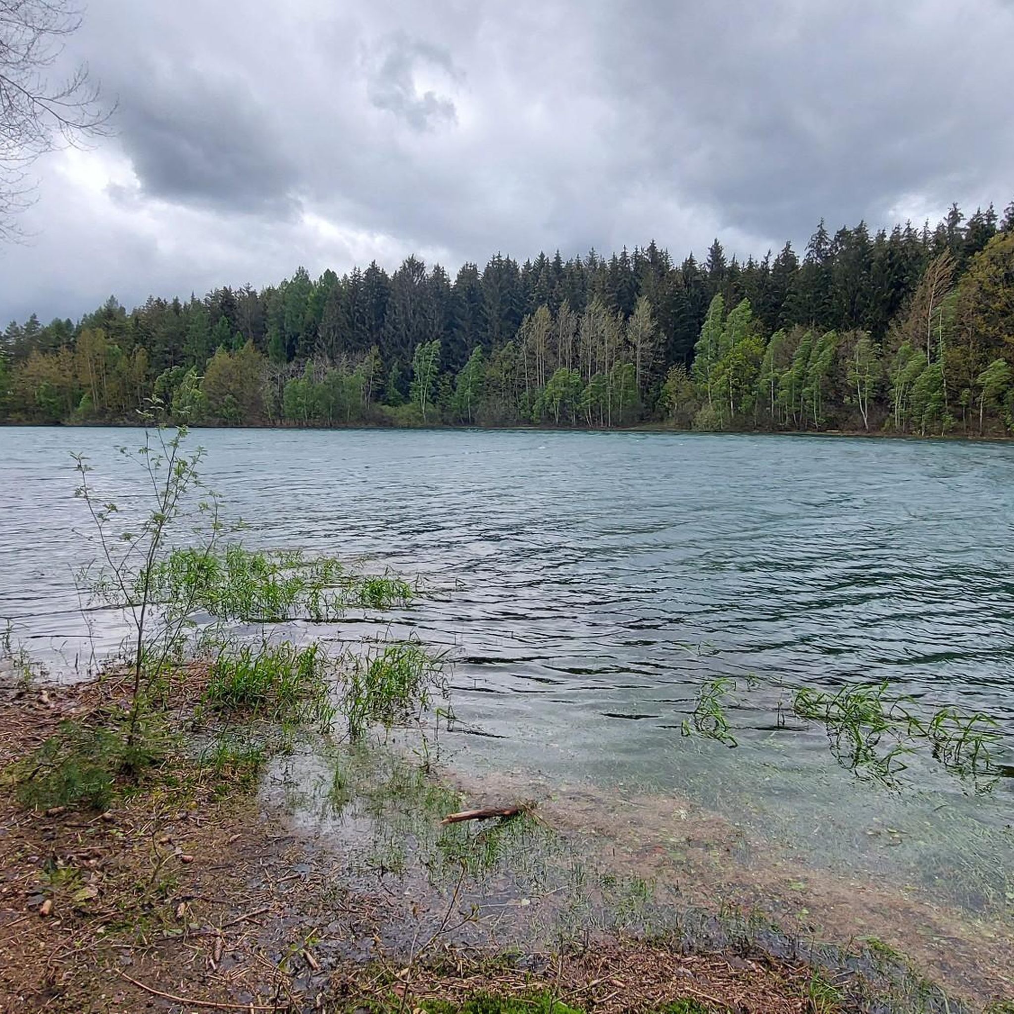
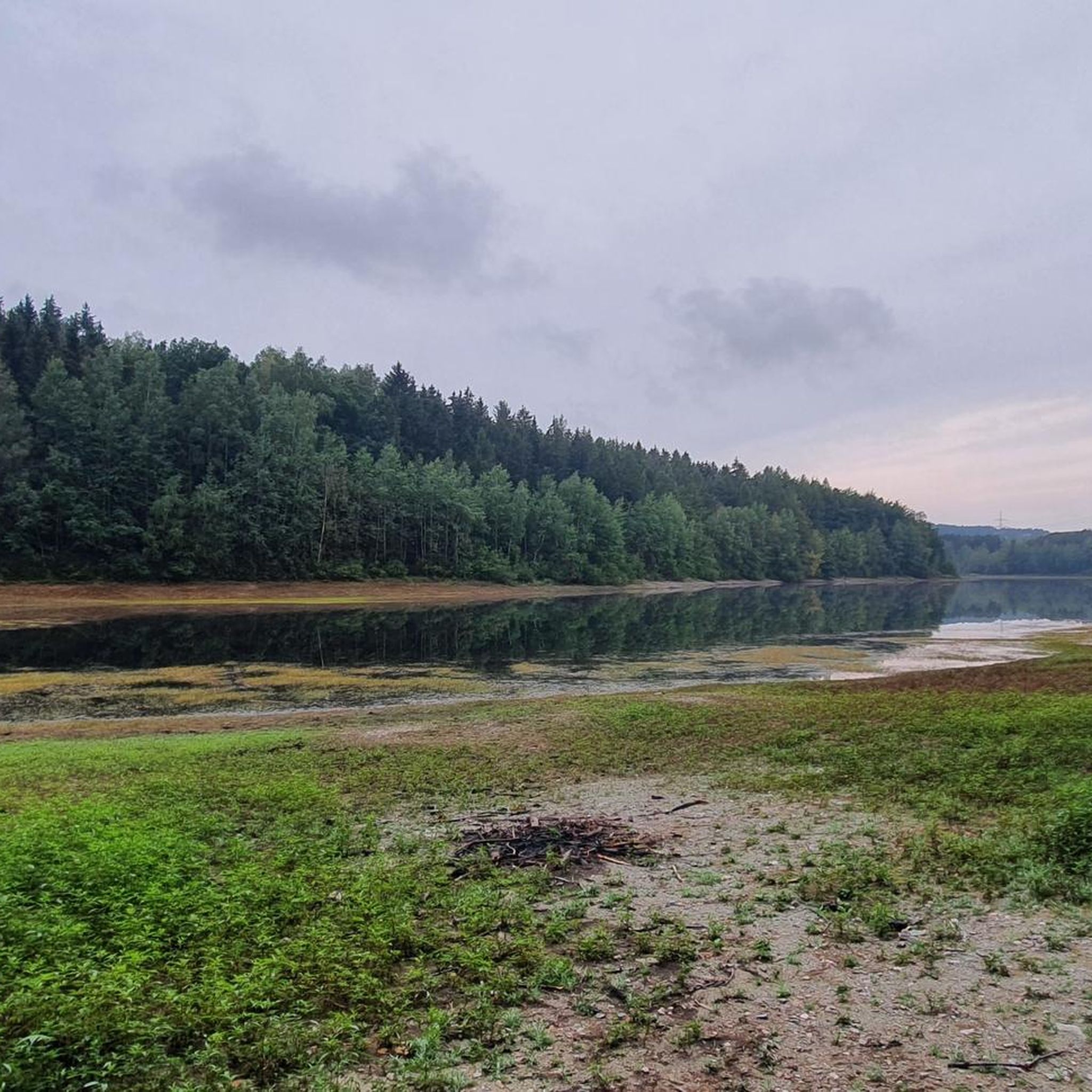
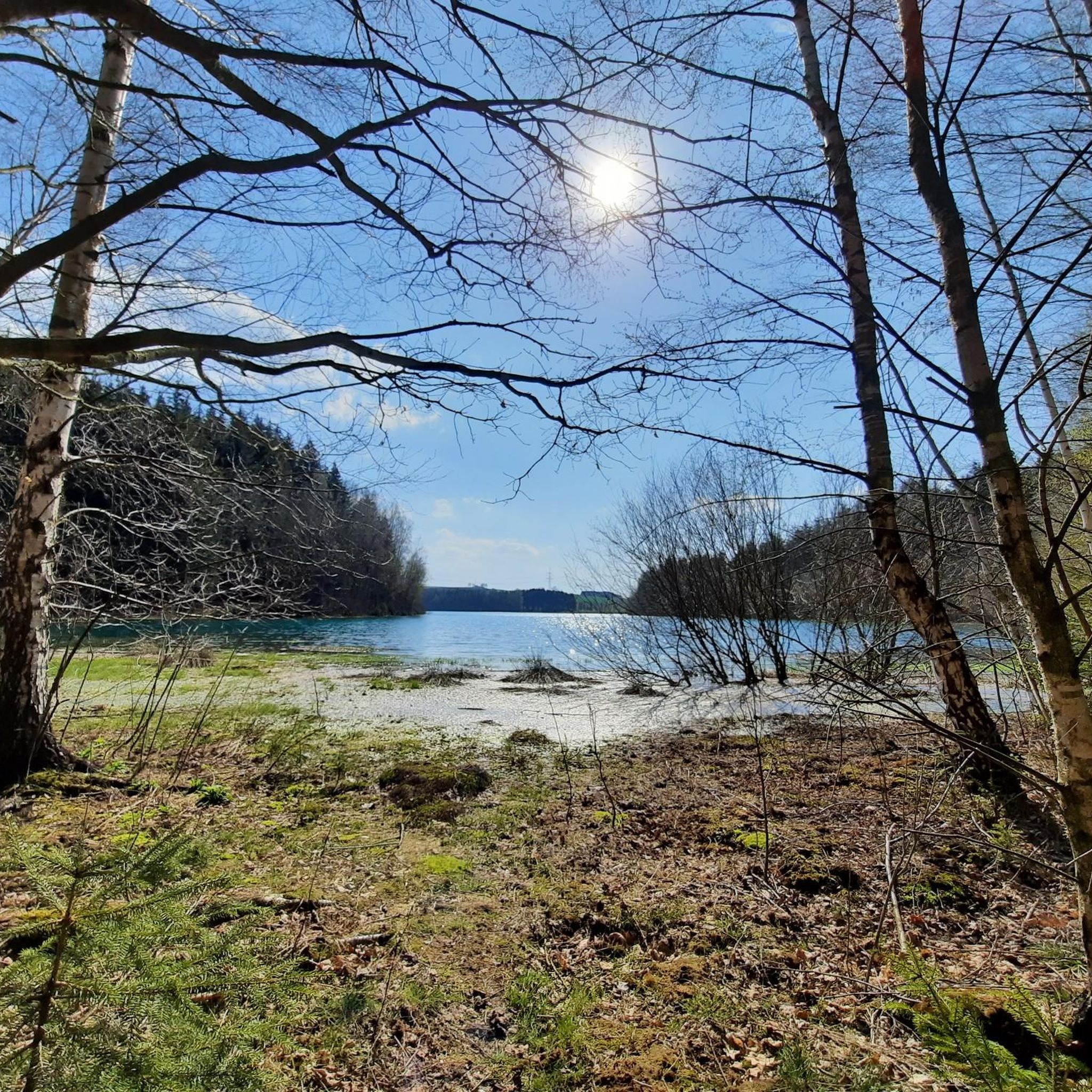
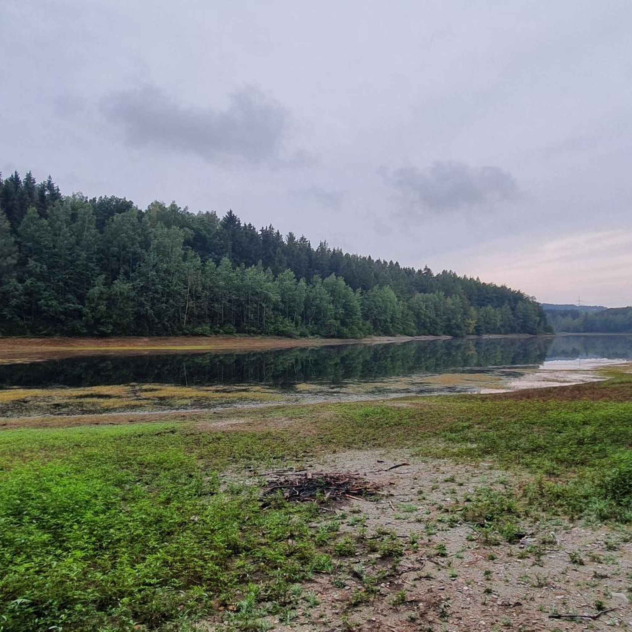

Tips from the Community

Feel free to stop here.
0
0

Nice place for a break
0
1

Old Brickworks Recreation Area in Niederwürschnitz https://www.freizeitgelaende-alte-ziegelei.de/de With snacks, a miniature golf course, a narrow-gauge railway, a playground, and a historical exhibition. Along the Würschnitz Valley Cycle Path through the Steegenwald Forest to the Old Brickworks in Niederwürschnitz.
5
0
a really nice place to rest
2
1
great corner, always worth a trip
2
1
Frequently Asked Questions
What kind of terrain can I expect when hiking in Niederdorf (Sachsen)?
The region around Niederdorf (Sachsen), nestled within the Erzgebirge (Ore Mountains), features a diverse landscape. You'll encounter a mix of valleys, mountains, meadows, and forests, providing varied terrain suitable for different hiking experiences. The municipality itself is situated at approximately 400 meters above sea level, offering both gentle slopes and wooded areas.
How many hiking trails are available in Niederdorf (Sachsen)?
There are over 29 hiking routes around Niederdorf (Sachsen). These trails cater to various skill levels, including 13 easy, 15 moderate, and 1 difficult route, ensuring options for every hiker.
Are there any family-friendly hiking options in Niederdorf (Sachsen)?
Yes, Niederdorf (Sachsen) offers several easy routes perfect for families. An example is the Niederdorf Horse Friends – Kampenhütte loop from Niederdorf (Sachsen), which is an easy 4.8 km trail, ideal for a pleasant walk with children.
Can I find circular hiking routes in Niederdorf (Sachsen)?
Many of the trails in Niederdorf (Sachsen) are circular, allowing you to start and end at the same point. For instance, the Picnic Area at Stegenwald – Old Brickyard Recreation Area loop from Niederdorf (Erzgeb) is an easy 5.6 km loop that takes you through the scenic Steegenwald forest.
What are some notable natural features or landmarks to see while hiking?
While hiking, you can explore areas like the Steegenwald forest, the Goldbachgrund valley, and the Hauwald. The region also features the historic Sächsischer Jakobsweg (Saxon St. James Way) and points of interest like the Forzbachlquelle. For expansive views, consider visiting the Totenstein-Alm, which is near the Maria-Josepha-Turm viewpoint.
Are there any huts or shelters along the hiking trails in Niederdorf (Sachsen)?
Yes, you can find several huts and shelters in the area. Notable ones include the Rabensteiner Forest Shelter, the Forzbachl Hut, and the Forzbachtal Shelter and Spring, offering convenient rest stops.
Are there any lakes or reservoirs near the hiking routes?
Yes, the trails in Niederdorf (Sachsen) can lead you towards beautiful water bodies. The Stollberg Reservoir (Querenbach Reservoir) is a significant feature in the area, and the Greifenbach pond is also nearby, offering pleasant views.
What do other hikers say about the trails in Niederdorf (Sachsen)?
The hiking routes in Niederdorf (Sachsen) are highly regarded by the komoot community, holding an average rating of 4.8 stars from over 140 reviews. Hikers often praise the varied terrain, well-maintained paths, and the natural beauty of the Erzgebirge region.
Are there any longer, more challenging hikes available?
While many routes are easy to moderate, there is at least one difficult route for experienced hikers. For a longer moderate option, consider the Roter Weg – Old Brickyard Recreation Area loop from Niederdorf (Sachsen), which is 10.5 km long and takes approximately 2 hours 44 minutes to complete.
What is the 'Niederdorfer Grenztour'?
The 'Niederdorfer Grenztour' is a nearly 20 km long cycling and hiking trail that showcases the diverse facets of the municipality. This scenic route follows the historic field boundaries of Niederdorf, leading through varied landscapes and offering beautiful viewpoints, including sections through Steegenwald and Goldbachgrund.
Is there a specific viewpoint I should visit in the area?
The Maria-Josepha-Turm (Totenstein) is a prominent viewpoint in the region. Ascending its winding staircase offers beautiful scenery and expansive vistas of the surrounding Erzgebirge landscape.
What is the highest point near Niederdorf (Sachsen)?
The Tabakstanne, at 561.9 meters, is the highest point in Thalheim and along the B180 between Thalheim and Stollberg, offering another notable natural feature in the vicinity.
Most popular routes around Niederdorf (Sachsen)
Most popular attractions around Niederdorf (Sachsen)

Get inspired with the komoot mobile app


Explore more
Browse the best Hikes in other regions.
