The best road cycling routes around Niederbrombach
4.4
(105)
1,616
riders
170
rides
Road cycling routes around Niederbrombach traverse a diverse landscape where four dales converge, creating picturesque valleys. The region is characterized by lush forests and streams, with the Hambach, Schwollbach, and Rothenbach streams flowing together. It is situated near the Hunsrück-Hochwald National Park, featuring varied terrain including sunny fields, dark forests, and rock formations. Prominent local hills such as Hömelskopf and Hochkastell also shape the area.
Best road cycling routes around Niederbrombach
- The most popular road cycling route is Iron Bridge…
Last updated: October 6, 2026
4.5
(8)
77
riders
Moderate road ride. Good fitness required. Some segments of this route may be unpaved and difficult to ride.
12
riders
72.7km
03:35
1,050m
1,050m
Hard road ride. Very good fitness required. Some segments of this route may be unpaved and difficult to ride.

9
riders
53.0km
02:26
500m
500m
Moderate road ride. Good fitness required. Mostly well-paved surfaces and easy to ride.
6
riders
93.4km
04:46
1,530m
1,530m
Hard road ride. Very good fitness required. Some segments of this route may be unpaved and difficult to ride.
4
riders
42.4km
02:10
580m
580m
Moderate road ride. Good fitness required. Some segments of this route may be unpaved and difficult to ride.
Get access to more routes and recommendations from other explorers.
Already have an account?
Our route recommendations are based on thousands of hikes, rides, and runs completed by other people on komoot.
Start today with a free account
Your next adventure awaits.
Tips from the Community

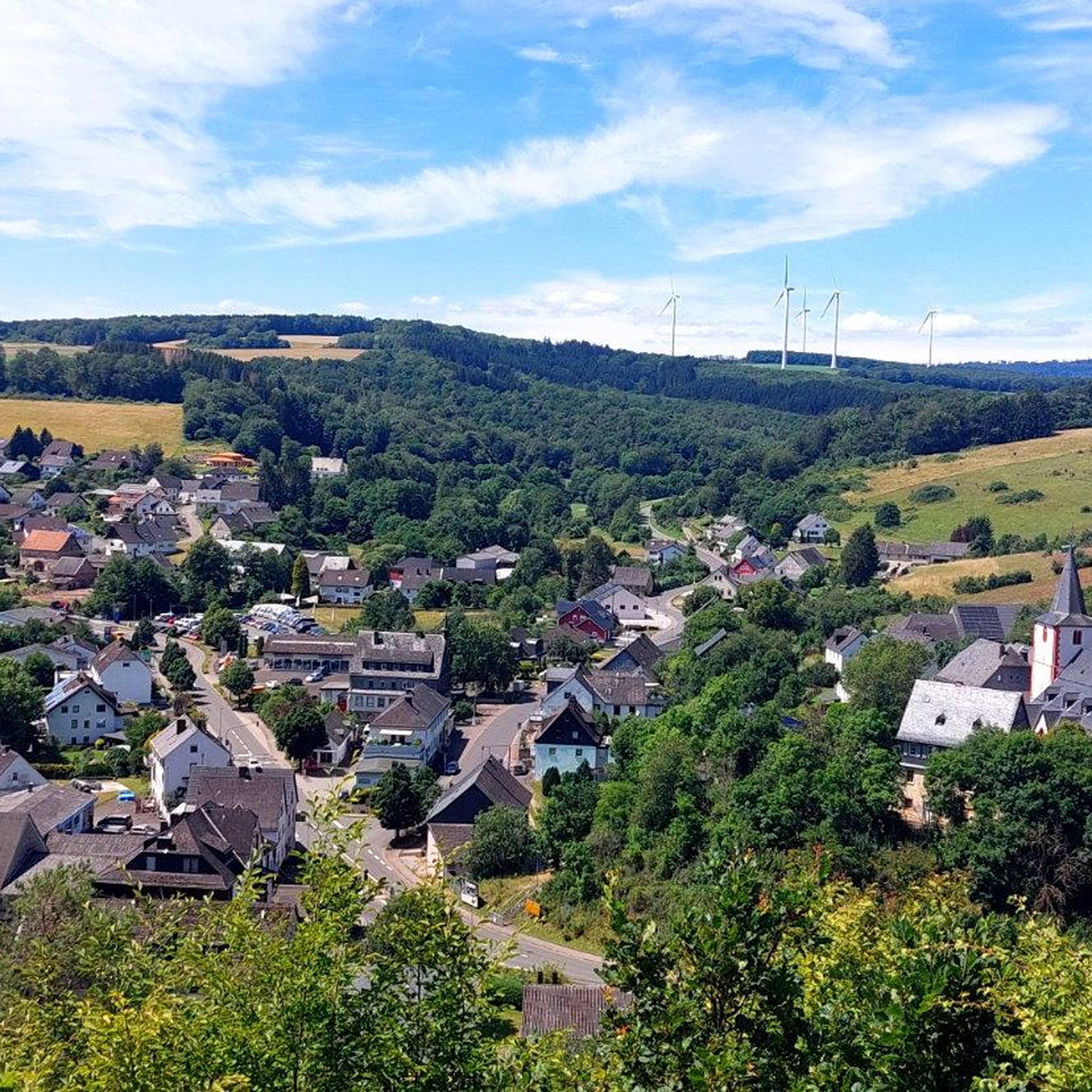
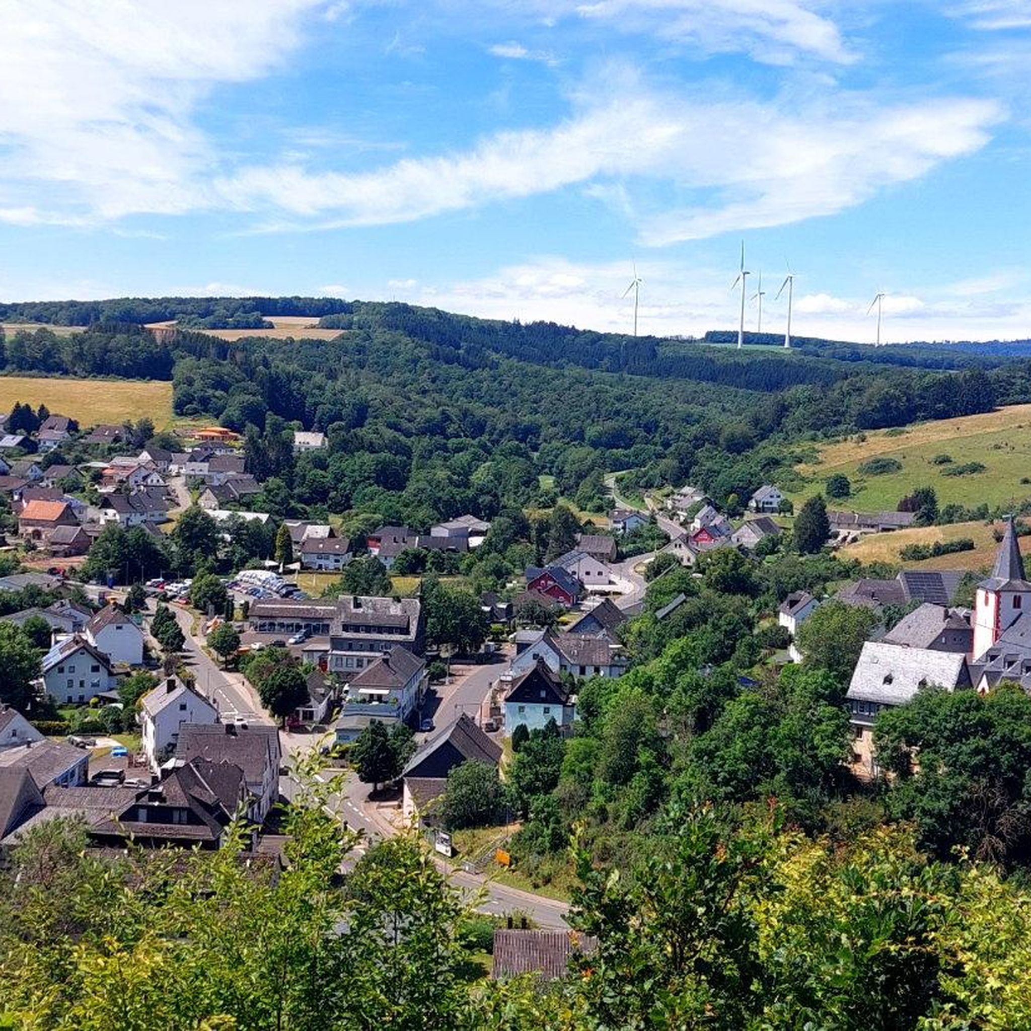
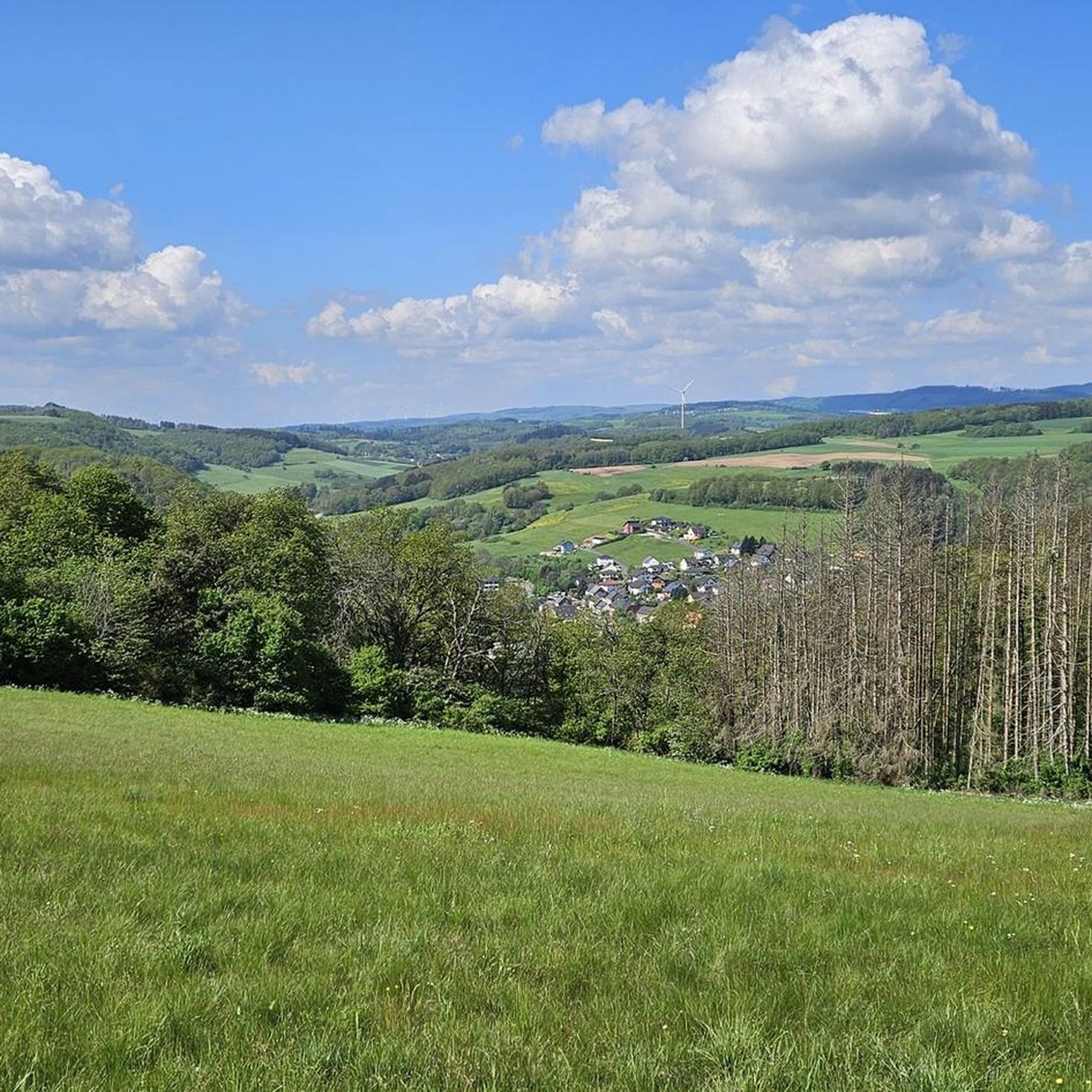
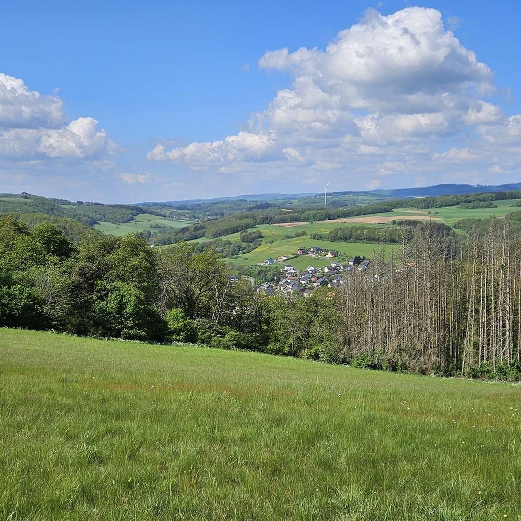
Beautiful views into the Hunsrück and onto the National Park
0
0
Old locomotive on a section of track, is now nothing special
0
0
Simply straight ahead down the road
0
0

I found this a special ruin, especially because one prominent tower still stands, drawing attention in the entire village.
2
0

Beautiful view over the region.
1
0

the bostasee staudamm , circa 300 m long with benches overlooking the lake
1
0

A beautiful lake that can be perfectly circled on foot. You can park directly at the dam wall and one lap is about 8km.
1
0
It was a fun experience with great pictures.
1
0
Frequently Asked Questions
What kind of terrain can I expect on road cycling routes around Niederbrombach?
The region around Niederbrombach offers a diverse landscape characterized by picturesque valleys where four dales converge, lush forests, and streams. You'll encounter varied terrain, from sunny fields to dark forests and rock formations, especially near the Hunsrück-Hochwald National Park. Prominent local hills like Hömelskopf and Hochkastell also shape the area, providing both scenic flats and challenging ascents.
Are there road cycling routes suitable for beginners in Niederbrombach?
Yes, Niederbrombach offers a range of routes for various skill levels. While many routes feature significant elevation changes, there are options suitable for beginners. The komoot community has identified 8 easy road cycling routes in the area, allowing for a gentler introduction to the region's beautiful scenery.
What are some challenging road cycling routes for experienced riders?
For experienced riders seeking a challenge, Niederbrombach has 72 difficult road cycling routes. A notable option is the Windklang Sculpture, Erbeskopf – Erbeskopf Cycle Path loop from Nohen, which covers 93.4 km with over 1,500 meters of elevation gain. Another demanding route is the Windklang Sculpture, Erbeskopf – Erbeskopf Observation Tower loop from Nohen, a 72.7 km path with over 1,000 meters of ascent towards the Erbeskopf Observation Tower.
What is the best time of year for road cycling in Niederbrombach?
The best seasons for road cycling in Niederbrombach are generally from spring to autumn. During these months, the weather is typically warm and pleasant, making for ideal conditions to explore the region's diverse landscapes and enjoy the scenic routes.
Are there any viewpoints or landmarks along the road cycling routes?
Yes, many routes offer opportunities to see interesting landmarks and enjoy panoramic views. You might encounter historical sites like the Nahekopf Plateau and Kaiserallee or natural monuments such as the Hexentanzplatz on the Wildenburger Kopf. For extensive views, consider routes that pass near the Wildenburg Observation Tower or the Ringskopf Viewpoint and Rock Formations.
Can I find circular road cycling routes in Niederbrombach?
Yes, the majority of road cycling routes in Niederbrombach are designed as loops, offering a convenient way to start and end your ride at the same point. For example, the Iron Bridge in Türkismühle – View of Bostalsee from the dam loop from Nohen is a popular circular route that provides views of Bostalsee.
Are there family-friendly road cycling options in the Niederbrombach area?
While many road cycling routes in Niederbrombach involve significant elevation, there are easier options that might be suitable for families with older children or those looking for a less strenuous ride. It's advisable to check the difficulty grade and elevation profile of specific routes to ensure they match your family's capabilities. The region's picturesque valleys offer pleasant stretches for cycling.
What is the average rating for road cycling routes in Niederbrombach?
Road cycling routes around Niederbrombach are highly regarded by the komoot community, holding an impressive average rating of 4.4 stars from over 90 reviews. Cyclists frequently praise the varied terrain, scenic beauty, and the well-maintained paths that make for an enjoyable riding experience.
Are there places to eat or rest along the road cycling routes?
The region around Niederbrombach, including nearby towns and villages, offers various opportunities for refreshments. While specific cafes or pubs directly on every route are not guaranteed, you can often find places to eat and rest in the communities you pass through. Additionally, there are several shelters and picnic areas, such as the Kreuzbuche Shelter or the Selbach Shelter and Picnic Area, which are ideal for a break.
How long are the road cycling routes typically in Niederbrombach?
The road cycling routes in Niederbrombach vary significantly in length. You can find shorter rides, but many popular routes range from moderate distances of around 40-50 km, such as the Bostal Lake – Iron Bridge in Türkismühle loop from Kronweiler (53 km), to longer, more challenging tours exceeding 70 km. This variety allows cyclists to choose routes that fit their desired duration and fitness level.
Is public transport available to access road cycling routes in Niederbrombach?
Niederbrombach is situated in a rural area, and while public transport options exist, they might be less frequent or direct than in larger urban centers. It's advisable to research local bus or train schedules to nearby towns like Birkenfeld or Nohen, which may offer connections closer to the starting points of some routes. Planning your journey in advance is recommended.
Are there any specific rules or permits required for cycling in the Hunsrück-Hochwald National Park area?
While general road cycling on public roads and designated cycle paths typically doesn't require permits, specific rules might apply within the Hunsrück-Hochwald National Park. It's always best to respect local signage and regulations, especially concerning protected areas, to ensure you are cycling responsibly and in accordance with park guidelines. Generally, staying on marked paths is recommended.
Most popular routes around Niederbrombach
Most popular attractions around Niederbrombach

Get inspired with the komoot mobile app


Explore more
Browse the best Road cycling routes in other regions.
