The best walks and hikes around Niederahr
4.6
(982)
3,922
hikers
16
hikes
Hiking around Niederahr offers varied landscapes in the Westerwald region of Rhineland-Palatinate, Germany. The area is characterized by rolling hills, expansive green forests, and the Ahrbach stream flowing through the community. Unique geological features, such as historical clay pits, also shape the local terrain, providing distinct hiking experiences. The region is part of the Westerwaldsteig, a long-distance trail known for diverse landscapes and vantage points.
Best hiking trails around Niederahr
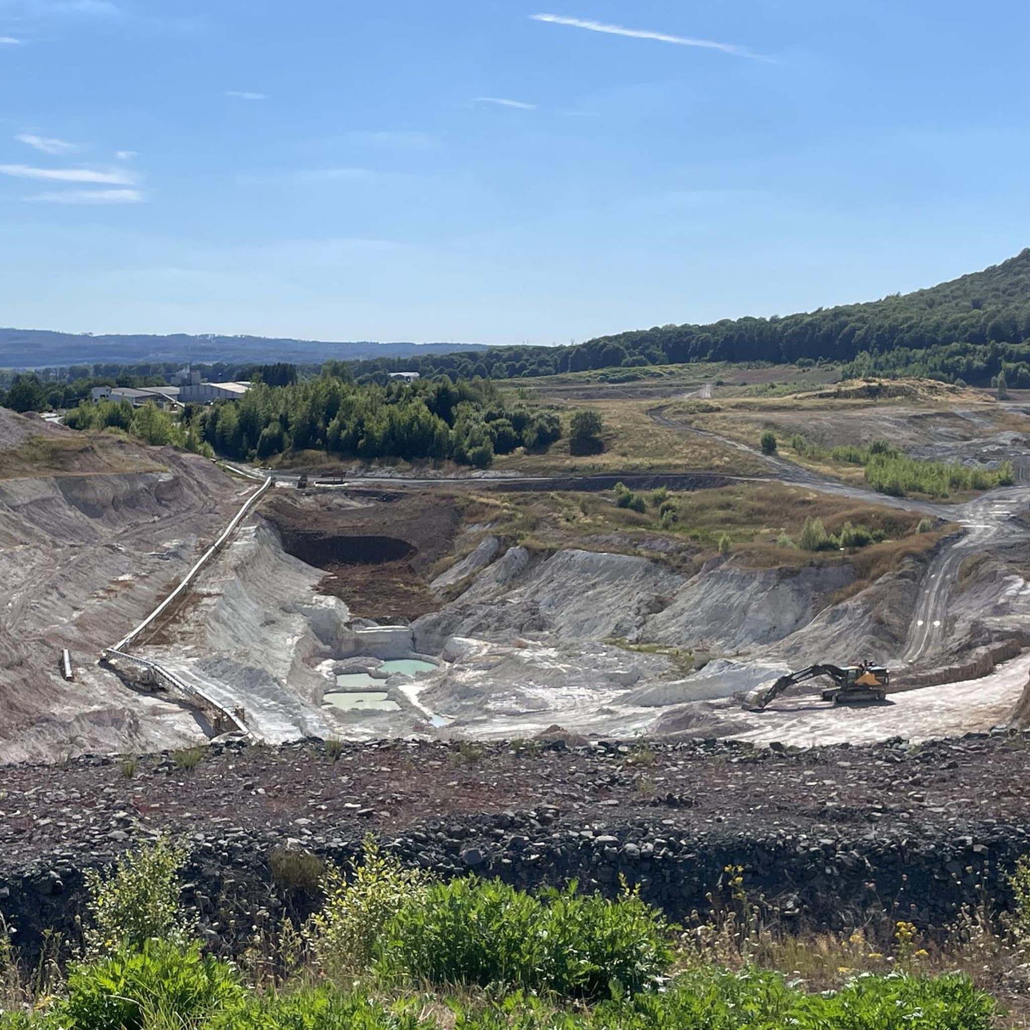
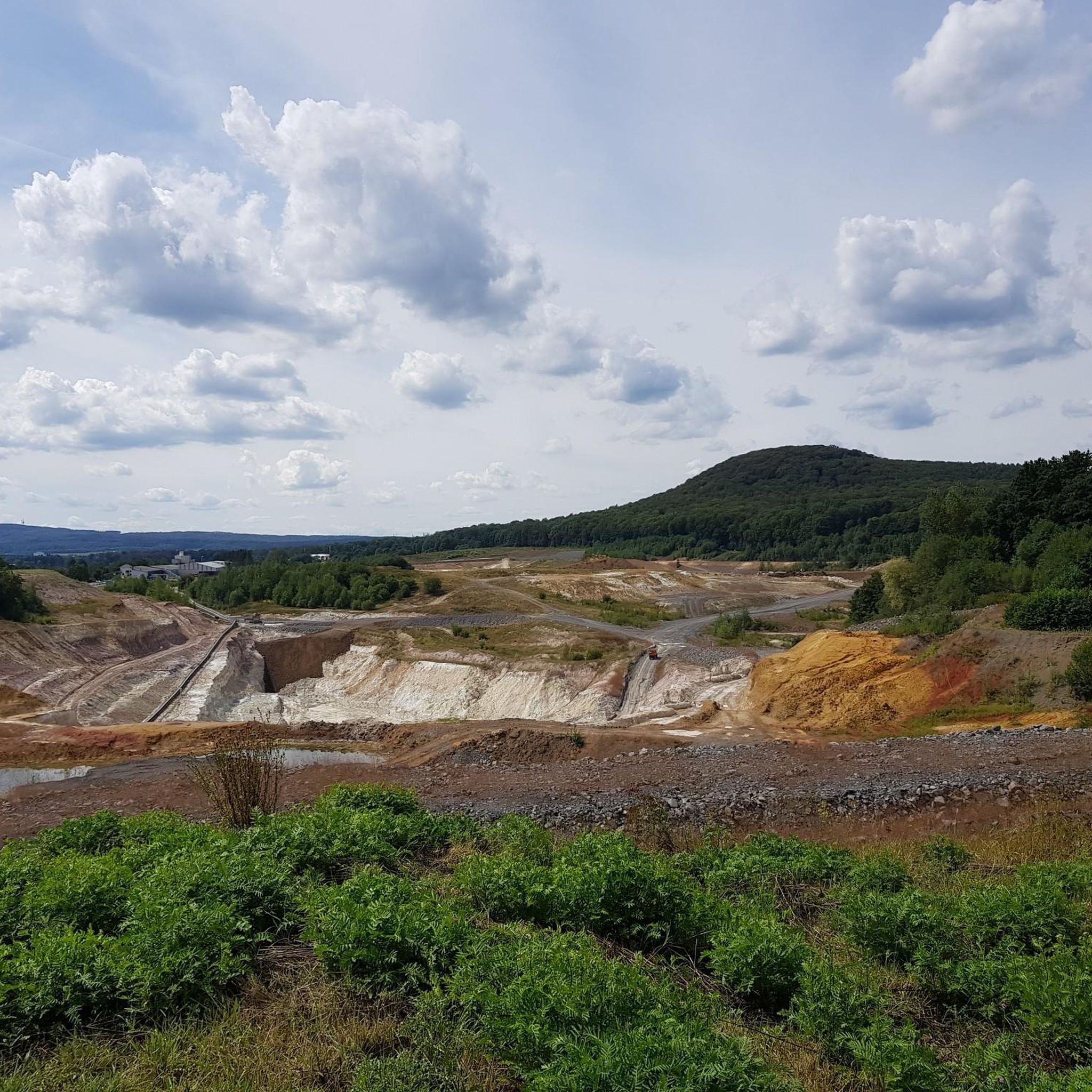
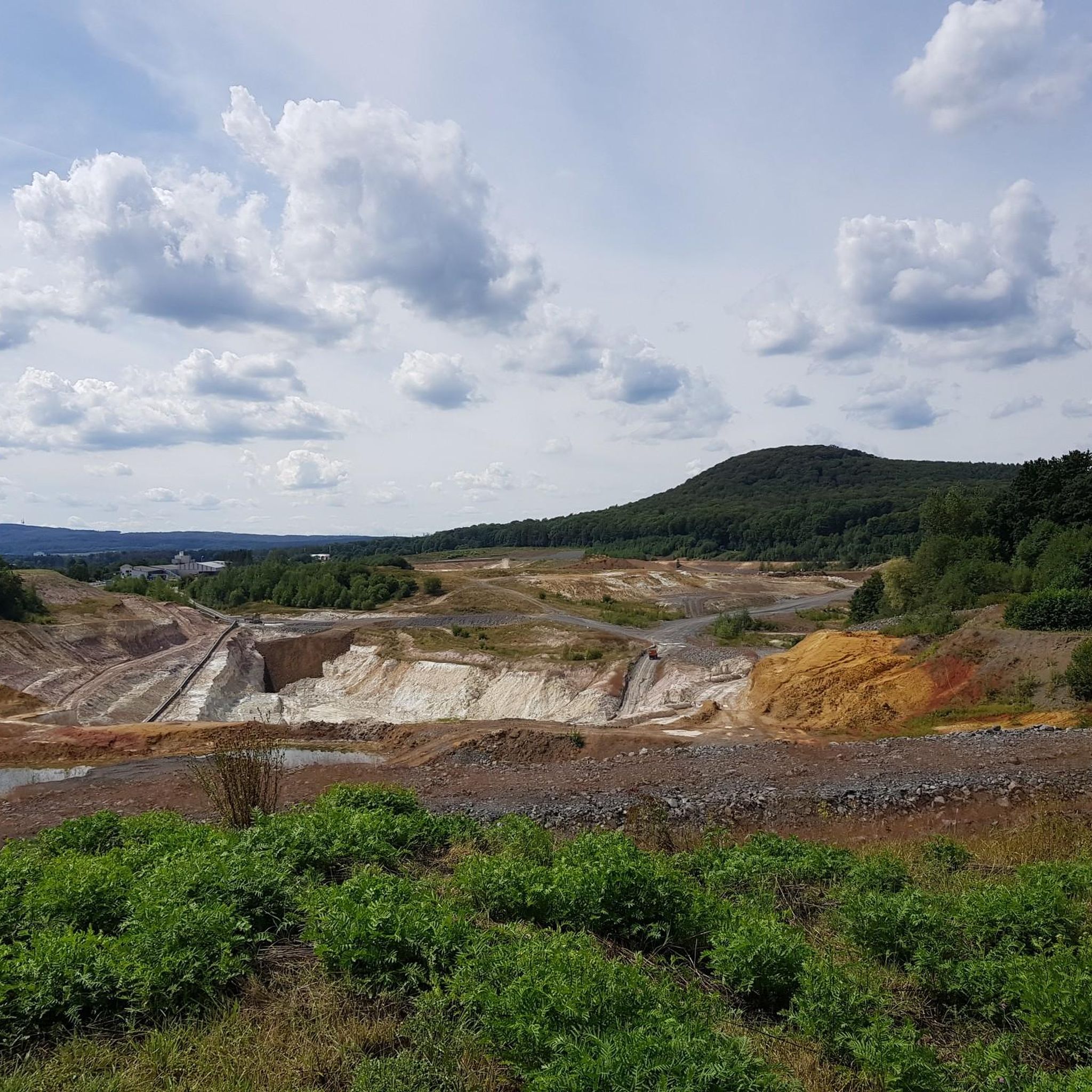
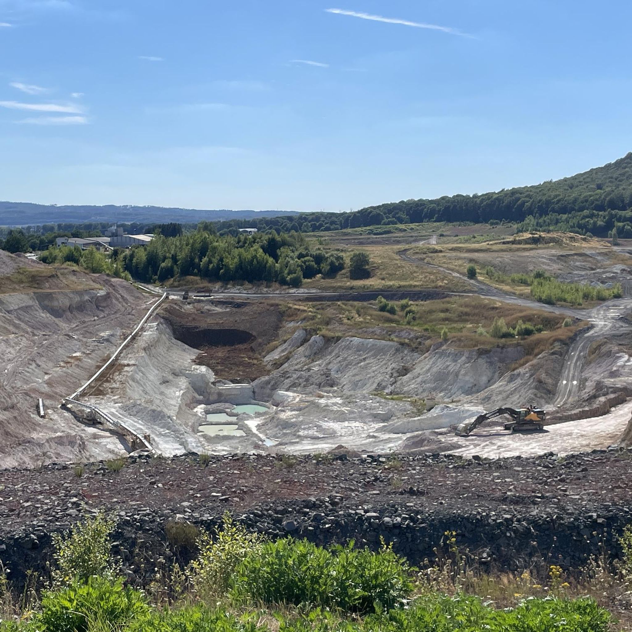
- The most popular hiking route is Esther clay pit –…
Last updated: July 14, 2026
4.6
(23)
94
hikers
9.05km
02:25
100m
100m
Moderate hike. Good fitness required. Easily-accessible paths. Suitable for all skill levels.
4.7
(12)
34
hikers
5.09km
01:21
50m
50m
Easy hike. Great for any fitness level. Easily-accessible paths. Suitable for all skill levels.

Sign up for free
5.0
(5)
11
hikers
7.64km
02:06
130m
130m
Moderate hike. Good fitness required. Easily-accessible paths. Suitable for all skill levels.
5.0
(3)
11
hikers
8.90km
02:29
170m
170m
Moderate hike. Good fitness required. Easily-accessible paths. Suitable for all skill levels.
4.8
(4)
11
hikers
3.36km
00:54
40m
40m
Easy hike. Great for any fitness level. Easily-accessible paths. Suitable for all skill levels.
Get access to more routes and recommendations from other explorers.
Sign up for free
Already have an account?
Our route recommendations are based on thousands of hikes, rides, and runs completed by other people on komoot.
Start today with a free account
Your next adventure awaits.
Login or Signup
Tips from the Community

For me, in homage to the original in Namibia, the Giants' Playground for Minis
0
0

The Malberg is always worth a bike ride. It's most beautiful in sunshine, of course, when the sun's rays filter through the leaves onto the rocks. It's also great in the fall, early morning, when there's a bit of fog on the mountain.
0
0

Here, too, there is less to see in summer, and the telescope at the viewing point has been removed.
0
0
Not really suitable in summer because you can hardly see anything.
0
0
Here you can take a nice break and look at the former mine.
0
0

Frequently Asked Questions
What kind of hiking trails can I expect around Niederahr?
Niederahr, nestled in the Westerwald region, offers a diverse landscape of rolling hills, expansive green forests, and unique geological features like historical clay pits. You'll find a variety of trails, from easy walks through natural areas to moderate routes exploring the distinctive terrain shaped by past clay extraction. The area is also directly on the famous Westerwaldsteig, a long-distance trail.
Are there easy hiking trails suitable for beginners or leisurely walks?
Yes, Niederahr has plenty of easy options. Out of 16 available routes, 12 are classified as easy. For example, the Petschmorgen Quarry – Beautiful Garden loop from Niederahr is an easy 5.1 km path, perfect for a relaxed stroll. Another easy option is the shorter Petschmorgen Quarry loop from Niederahr, which is 3.4 km long.
Can I find circular hiking routes in Niederahr?
Absolutely. Many of the trails around Niederahr are designed as circular routes, allowing you to start and end at the same point. Examples include the 9.0 km Esther clay pit – View of the Anna Clay Pit loop from Niederahr and the 7.6 km Ponds in Westerwald – Holy Mission Wayside Shrine loop from Niederahr.
What are some interesting natural features or landmarks to see on the trails?
The region is known for its unique clay pit landscapes, such as those explored on the Esther clay pit – View of the Anna Clay Pit loop from Niederahr. You can also discover viewpoints like the Köppel Observation Tower, historical sites like Vierherrenstein, and the scenic Ahrbach stream that flows through the community.
Are there any viewpoints offering panoramic vistas?
Yes, the Westerwald region offers several points with great views. The Köppel Observation Tower is a notable viewpoint in the vicinity. From certain elevated points in the region, hikers can also enjoy breathtaking views of the Rhine Valley.
What do other hikers say about the trails in Niederahr?
The hiking trails in Niederahr are highly regarded by the komoot community, holding an average rating of 4.6 stars from over 880 reviews. Hikers often praise the varied landscapes, the tranquility of the forests, and the unique experience of exploring the clay pit areas.
Is Niederahr suitable for long-distance hiking?
Yes, Niederahr is directly located on the famous Westerwaldsteig, a long-distance hiking trail that traverses a diverse landscape. This provides excellent opportunities for extended hiking experiences through the scenic Westerwald.
What is the best time of year to go hiking in Niederahr?
The Westerwald region, including Niederahr, offers beautiful hiking experiences throughout the year. Spring brings lush greenery, summer provides warm days for forest walks, autumn showcases vibrant fall colors, and winter can offer serene, snow-covered landscapes. The rolling hills and dense woodlands are enjoyable in any season.
Are there any family-friendly hiking options?
Given the prevalence of easy and moderate trails, many routes around Niederahr are suitable for families. The Petschmorgen Quarry – Beautiful Garden loop from Niederahr, at 5.1 km and classified as easy, is a good option for families looking for a pleasant walk through natural areas.
Are dogs allowed on the hiking trails in Niederahr?
Generally, dogs are welcome on hiking trails in the Westerwald region, provided they are kept on a leash and owners clean up after them. It's always a good idea to check local signage for specific regulations on individual paths or nature reserves.
Are there any cultural sights or attractions near the hiking areas?
Beyond the natural beauty, you can combine hiking with cultural exploration. The idyllic Marienstatt Monastery, with its 13th-century architecture, is in the immediate vicinity. Montabaur Castle and the historic old town of Limburg an der Lahn are also just a few kilometers away.
How many hiking routes are available in total around Niederahr?
There are 16 hiking routes available around Niederahr, offering a good selection for various preferences and fitness levels. These include 12 easy and 4 moderate trails.
Most popular routes around Niederahr
Most popular attractions around Niederahr

Get inspired with the komoot mobile app


Explore more
Browse the best Hikes in other regions.
