The best road cycling routes in New Mexico
4.7
(128)
3,248
riders
225
rides
Road cycling in New Mexico offers diverse landscapes, from high desert scenery and vast plains to challenging mountain climbs and routes through volcanic formations. The state is characterized by significant elevation changes, river corridors like the Rio Grande, and unique geological features such as gypsum dunes and lava flows. These varied terrains provide a wide range of road cycling experiences across New Mexico.
Best road cycling routes in New Mexico
- The most popular road cycling route is South Santa Fe half century, a 51.7 miles (83.2 km) trail that takes 3 hours 36 minutes to complete. This route offers a substantial ride through the Santa Fe area.
- Another top favourite among local road cyclists is Las Campanas loop, a moderate 25.5 miles (41.1 km) path. This loop provides varied scenery and a balanced challenge.
- Local road cyclists also love the South Mesa loop, a 31.6 miles (50.9 km) trail leading through high desert terrain, often completed in about 2 hours 33 minutes.
- Road cycling in New Mexico is defined by high desert scenery, mountain ascents, and routes along river corridors. The network offers options for different ability levels, from easy loops to challenging climbs.
- The routes in New Mexico are highly rated by the komoot community with an average score of 4.3 stars from more than 100 reviews. More than 3,000 road cyclists have used komoot to explore New Mexico's varied terrain.
Last updated: August 31, 2026
5.0
(1)
110
riders
83.2km
03:36
740m
740m
The South Santa Fe half century offers a rewarding road cycling experience through New Mexico's diverse landscapes, blending high desert, the foothills of the Sangre de Cristo Mountains, and woodlands. You'll pedal past piñon and juniper forests, enjoying expansive views of the Rio Grande Valley and distant Tesuque and Baldy Peaks, with a pass through the historic village of Galisteo adding a touch of local charm.
This moderate 51.7-mile (83.2 km) route features 2416 feet (736 metres) of elevation gain, taking roughly 3 hours and 36 minutes to complete. While mostly well-paved, the rolling terrain and the challenging "Lamy Hill" climb mean you'll want a multiple-gear bike with a low gear. It's a popular route, so expect company, especially if you ride during the annual Santa Fe Century event.
Often highlighted as one of the most popular road cycling routes around Santa Fe, this half century is a key component of the long-running Santa Fe Century event. It offers a comprehensive tour of the region's varied terrain and scenic beauty, making it an excellent choice for cyclists looking for a moderately challenging adventure with historical appeal.
3.8
(5)
30
riders
41.1km
01:48
390m
390m
Cycle the moderate 25.6-mile Las Campanas loop in Santa Fe, enjoying high desert scenery and views of Tesuque and Baldy Peaks.

Sign up for free
5.0
(2)
23
riders
50.9km
02:33
710m
720m
The South Mesa loop is a moderate 31.6-mile road cycling route in Los Alamos, offering scenic views and 2343 feet of elevation gain.
9
riders
51.6km
02:46
980m
980m
This difficult 32.1-mile road cycling route through Valles Caldera National Preserve offers challenging climbs and panoramic views.
7
riders
125km
06:23
2,130m
2,130m
This difficult 77.5-mile road cycling route from Los Alamos through Valles Caldera offers stunning scenery and 6988 feet of elevation gain.
1
riders
121km
05:30
790m
790m
This difficult 75.4-mile road cycling route climbs 2587 feet through the Guadalupe Mountains to the stunning Sitting Bull Falls.
22.8km
01:11
350m
350m
Cycle the moderate Los Alamos loop, a 14.2-mile route in New Mexico with 1150 feet of elevation gain through high desert scenery.
4.9
(7)
164
riders
Moderate road ride. Good fitness required. Some segments of this route may be unpaved and difficult to ride.
4.8
(5)
94
riders
40.8km
01:44
30m
30m
Easy road ride. Great for any fitness level. Mostly well-paved surfaces and easy to ride.
80
riders
118km
05:45
1,700m
1,700m
Hard road ride. Very good fitness required. Some segments of this route may be unpaved and difficult to ride.
Get access to more routes and recommendations from other explorers.
Sign up for free
Already have an account?
Our route recommendations are based on thousands of hikes, rides, and runs completed by other people on komoot.
Start today with a free account
Your next adventure awaits.
Login or Signup
Popular around New Mexico
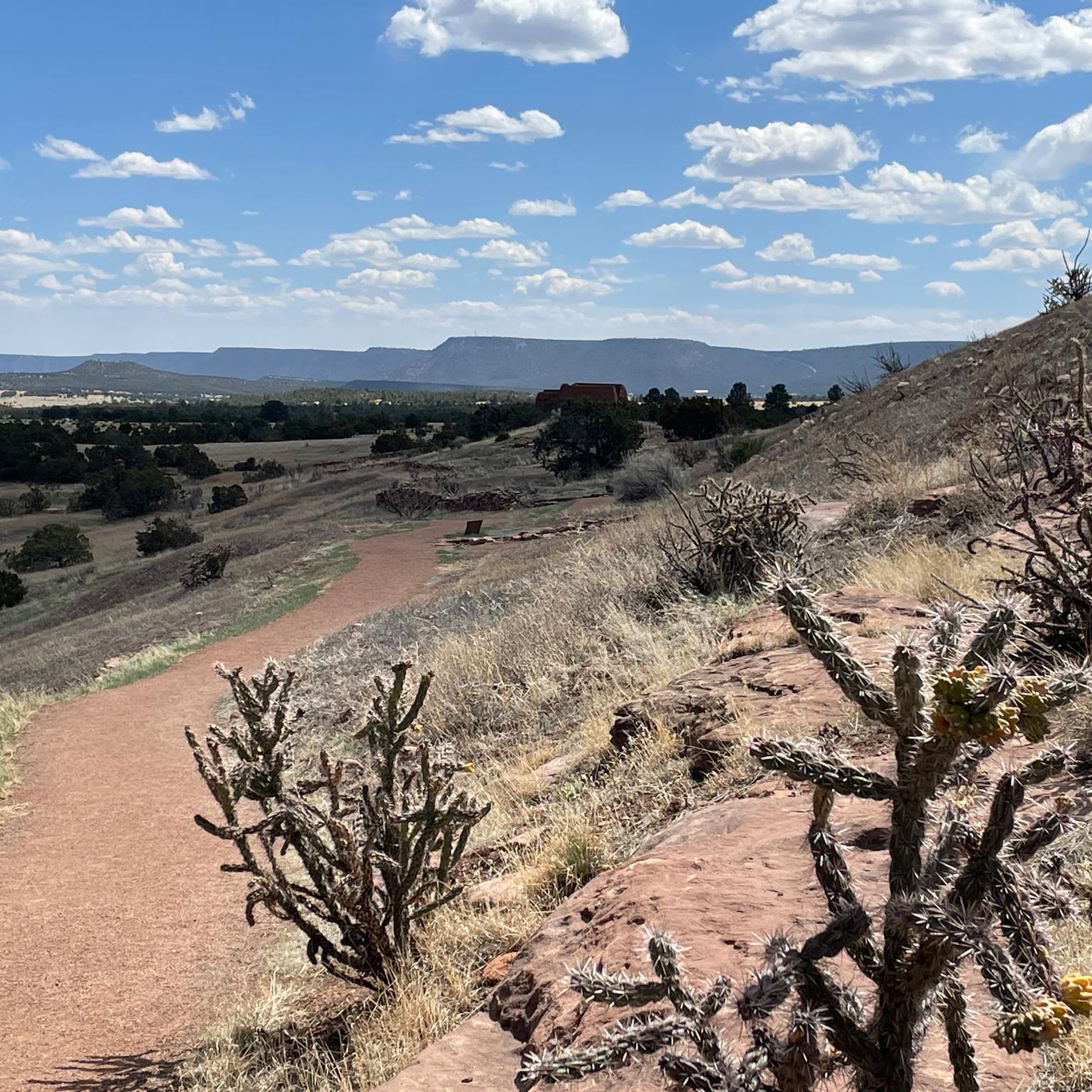
Road Cycling Routes in the Sangre de Christo Mountains
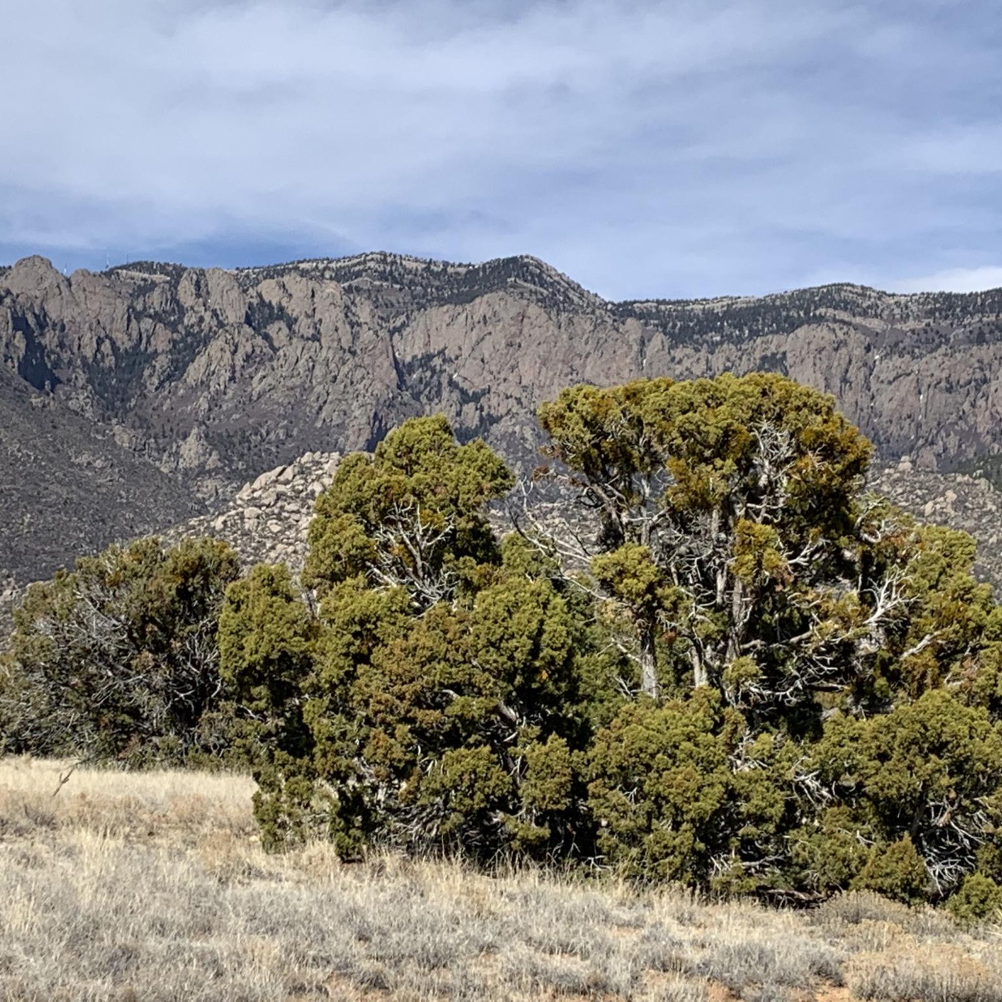
Road Cycling Routes in Bernalillo County
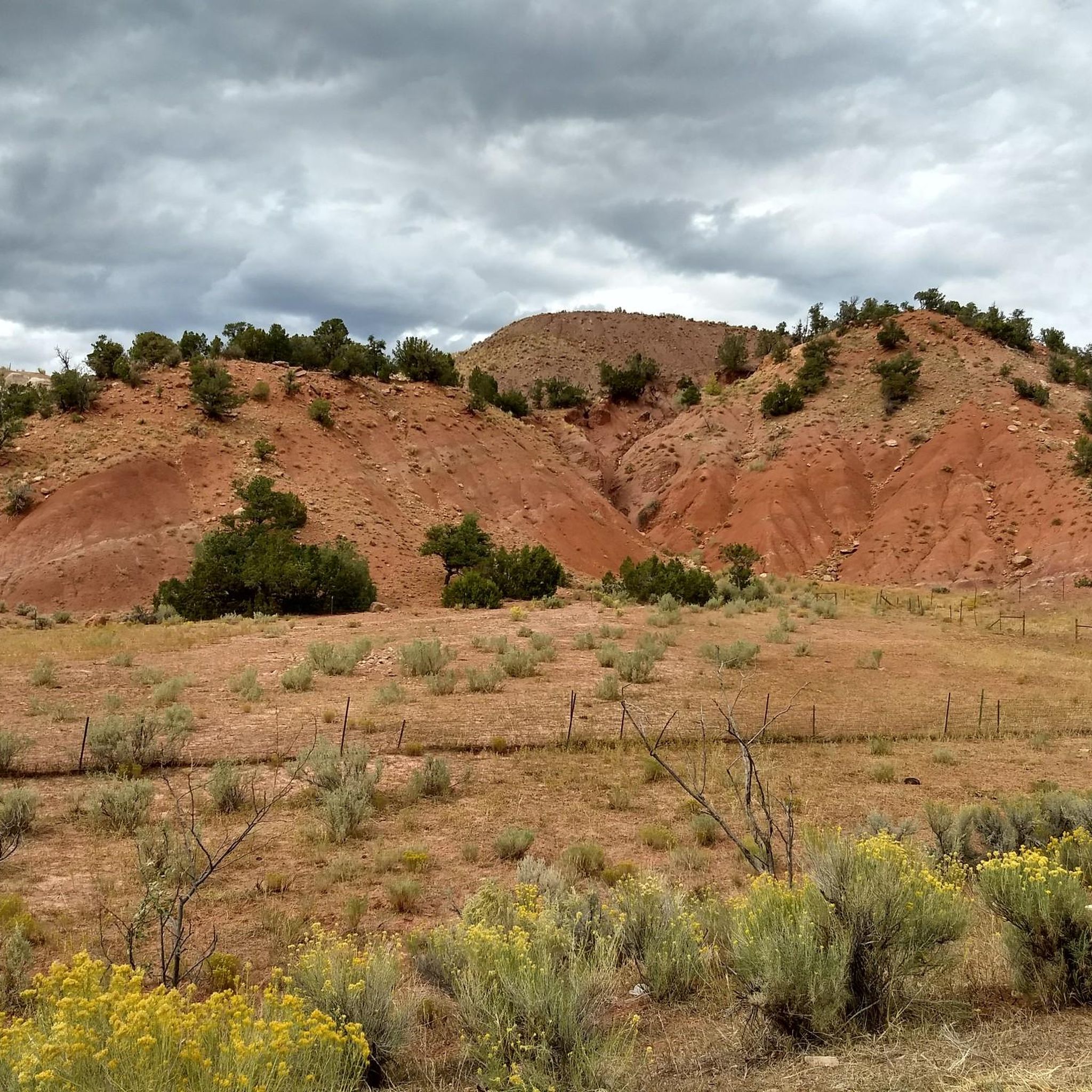
Road Cycling Routes in Santa Fe National Forest
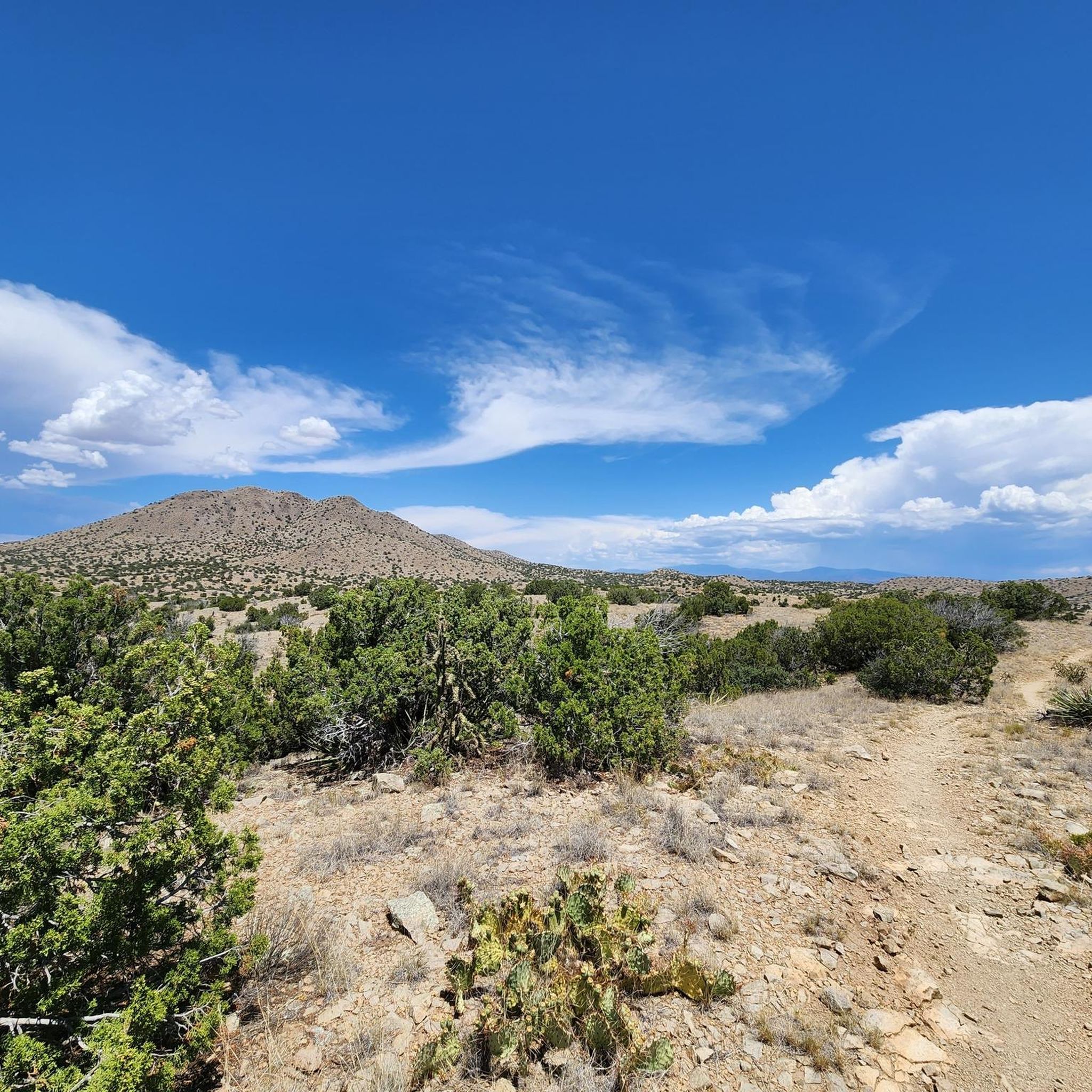
Road Cycling Routes in Santa Fe County
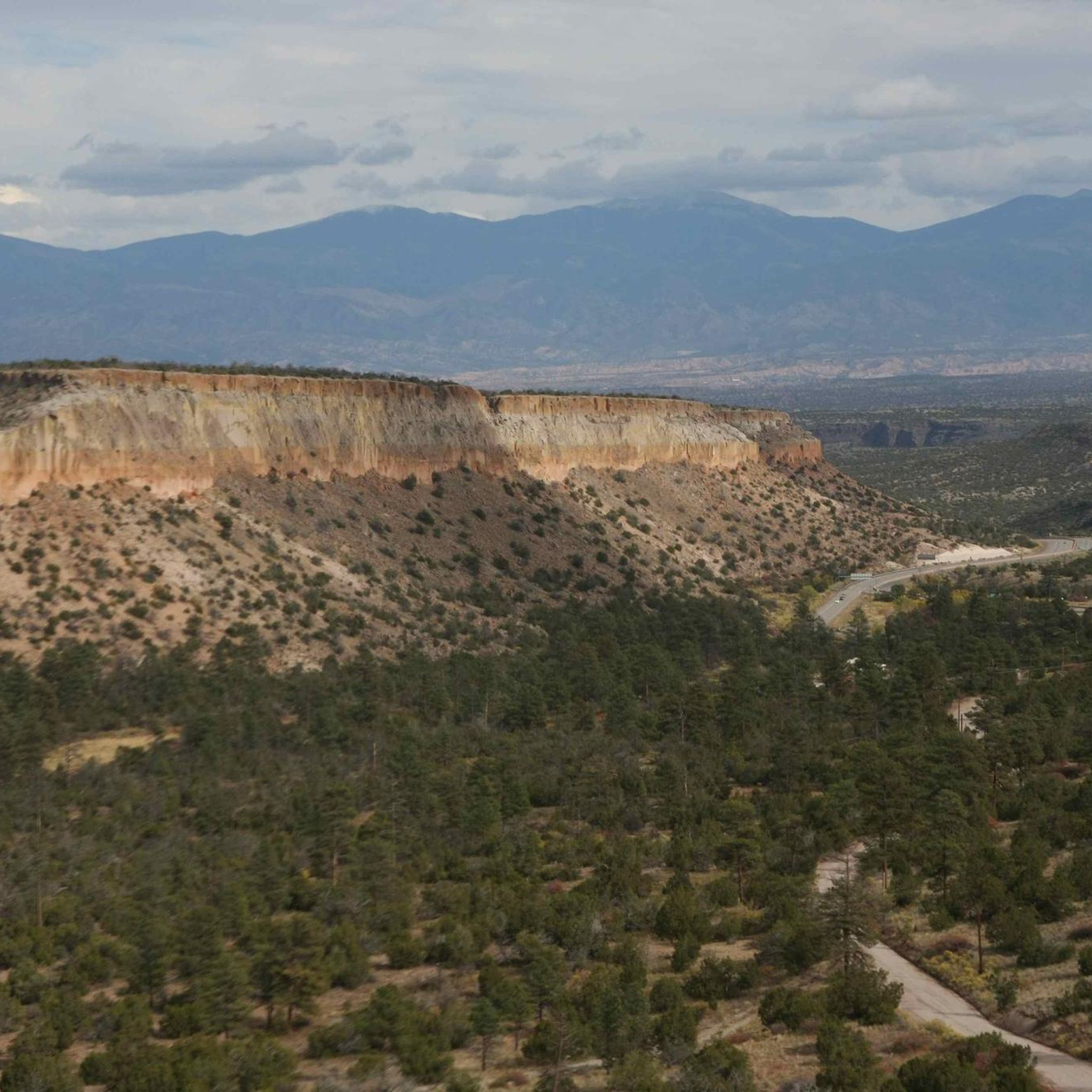
Road Cycling Routes in Los Alamos County
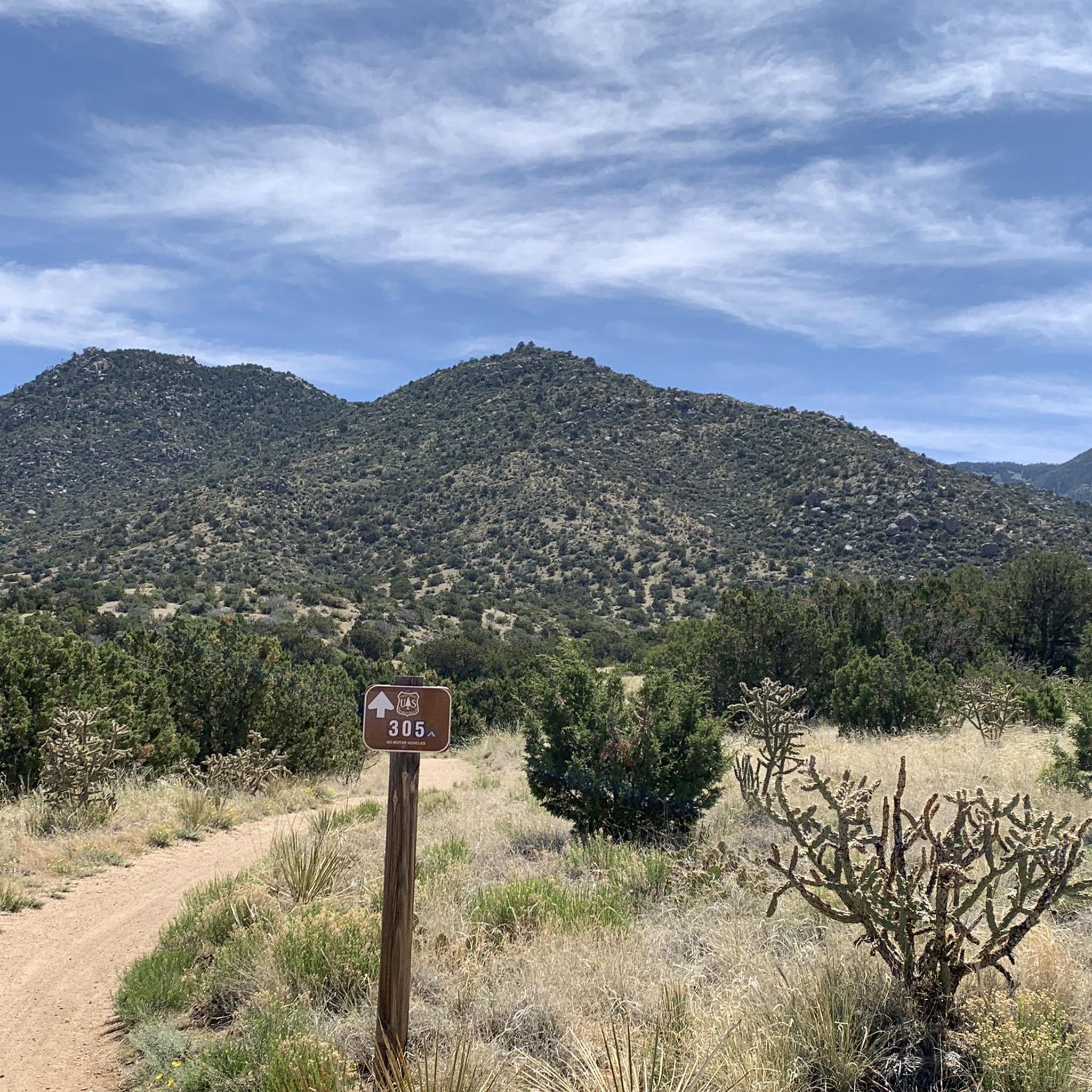
Road Cycling Routes in Cibola National Forest
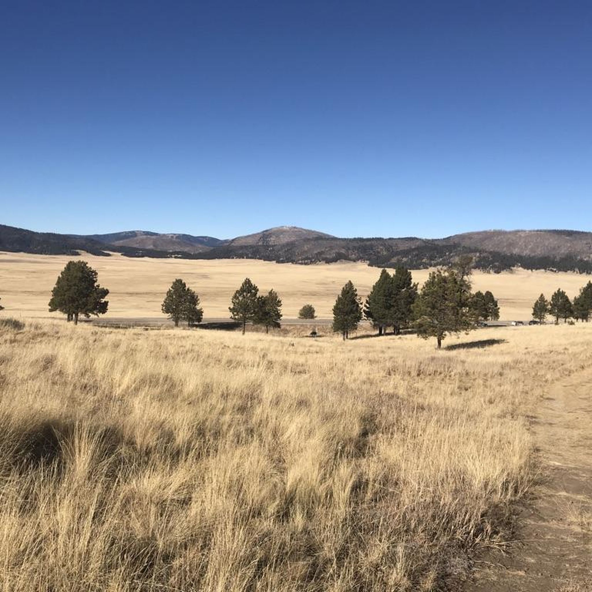
Road Cycling Routes in Sandoval County
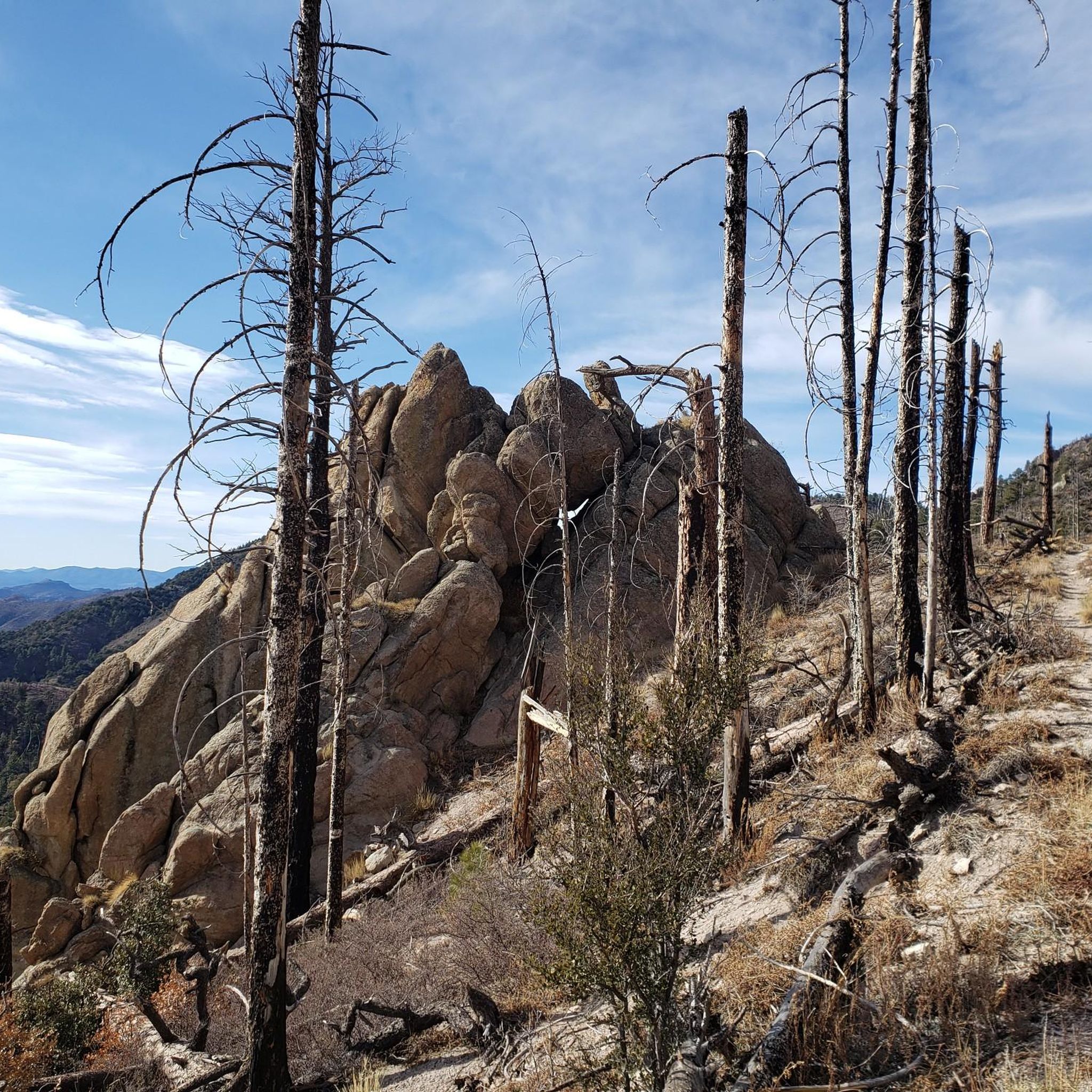
Road Cycling Routes in Grant County
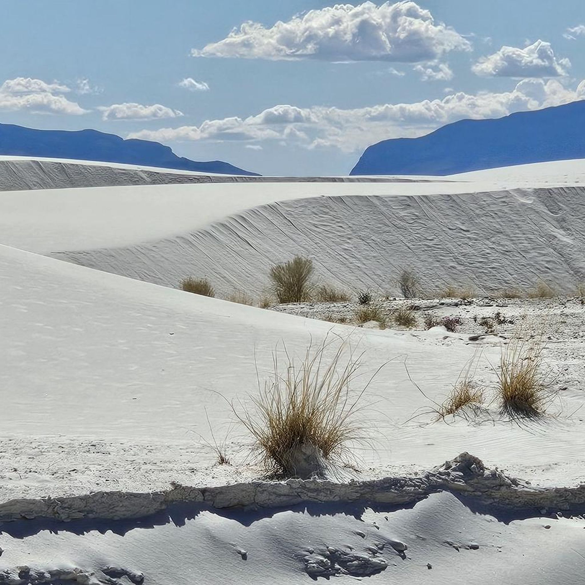
Road Cycling Routes in Doña Ana County
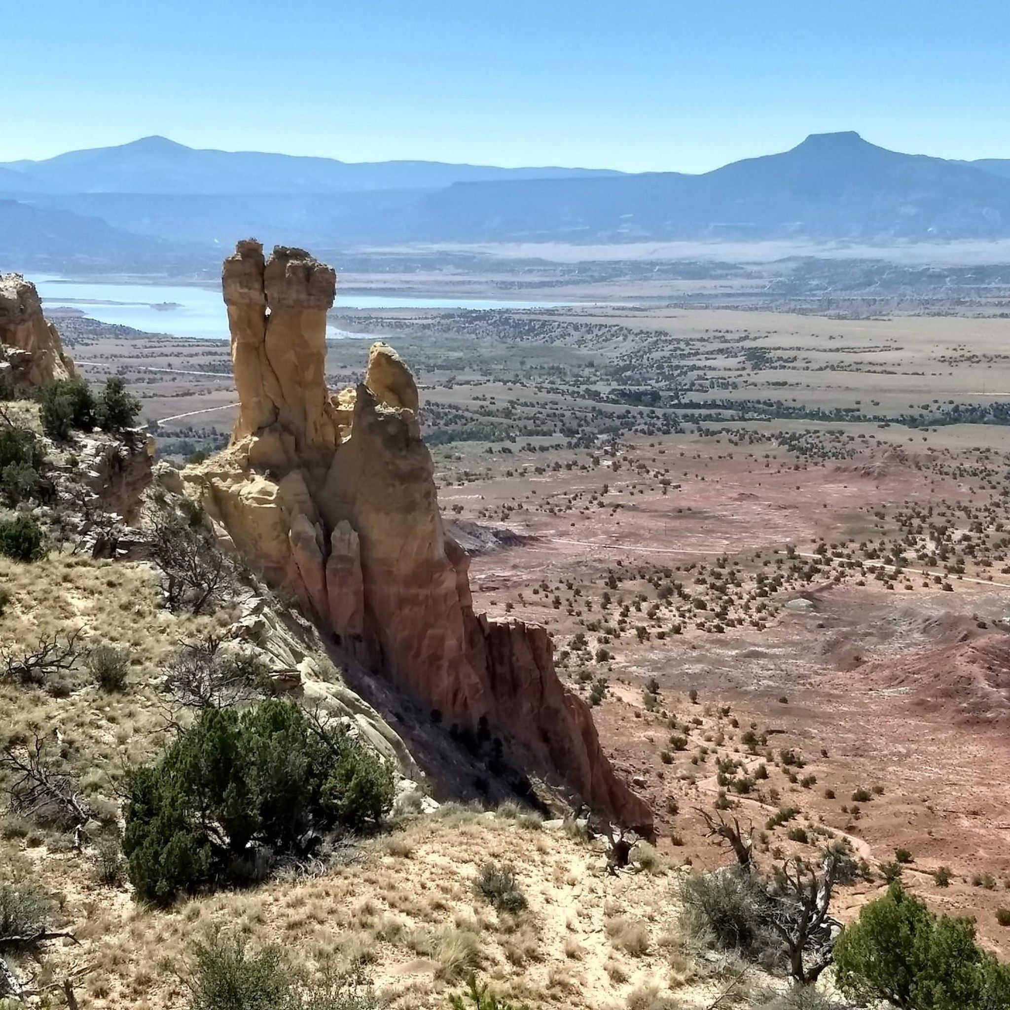
Road Cycling Routes in Rio Arriba County
Other adventures in New Mexico


Tips from the Community

Las Campanas is a community centered around a golf course, but the roads around it have been calling to cyclists since they were built. As such, this is a popular destination for road rides and the views around the loop are great.
0
0

Old Santa Fe is the historic downtown area. It's known for its mix of Naive Pueblo and Spanish Colonial styles of architecture and is an excellent mix of culture, history, shops, and views. It is also listed on the National Register of Historic Places.
0
0
Arroyo De Los Chamisos Trail is a 3-mile paved trail in the Santa Fe urban trail system. The trail runs through a mix of urban and residential spaces, so there are plenty of options for amenities along the path.
0
0

This is the southern terminus of the Santa Fe Rail Trail, just outside the town of Lamy in New Mexico. This 15-mile trail's northern terminus is the city of Sante Fe. The trail actually follows the Atchinson, Topeka, and Santa Fe Railway lines. It is a multi-use, mixed asphalt and dirt trail byway; 3.5 miles of it is paved within the Santa Fe city limits, and the remaining 11.5 miles is dirt.
0
0

I agree with Alex although I would add that because of it's popularity, road bike riders who enjoy riding at a faster pace, get out there early in the morning. By 10am there are a lot of people on a 6ft wide trail and some don't keep an eye out for cyclist. I find Fri and Sun mornings most agreeable for steady cruising
0
0

The Paseo del Bosque Trail is Albuquerque's popular 16-mile multi-use trail, running through the Rio Grande's cottonwood bosque from the north to the south of the metro area. The trail is paved, uninterrupted by roads, and features parking and access points in a few locations. Along the way, visitors can enjoy public art at Tingley Beach, Central Avenue, and other locations, as well as the Rio Grande Nature Center and the National Hispanic Cultural Center. The trail is ideal for biking, walking, and birdwatching, offering a great escape with restrooms and picnic areas along the trail.
1
0

From this spot you get a great view of the Rio Grande. This viewpoint is just off the Paso del Bosque Trail at Tingley Beach.
0
0

There is parking available at the Albuquerque Open Spaces parking lot off of Alameda or park at Bachechi Nature Center's lot off of Rio Grande Boulevard.
0
0
Frequently Asked Questions
What kind of terrain can I expect when road cycling in New Mexico?
New Mexico offers incredibly diverse road cycling terrain. You'll encounter everything from high desert scenery and vast plains to challenging mountain climbs and routes through volcanic formations like the Valles Caldera. The state is characterized by significant elevation changes, scenic river corridors along the Rio Grande, and unique geological features such as the gypsum dunes of White Sands and rugged lava flows near El Malpais.
How many road cycling routes are available in New Mexico, and what are their difficulty levels?
There are over 220 road cycling routes available in New Mexico on komoot. These routes cater to various skill levels: approximately 75 are rated as easy, 123 as moderate, and 24 as difficult. This wide range ensures options for beginners seeking gentle rides and experienced cyclists looking for challenging ascents.
Are there any family-friendly road cycling routes in New Mexico?
Yes, New Mexico offers several options suitable for families. For instance, the View of the Rio Grande loop from Valley High School is an easy route that allows for a pleasant ride. Additionally, the flat, paved 8-mile loop within Chaco Culture National Historical Park is ideal for families wanting to explore archaeological sites by bike.
What are some of the most scenic road cycling routes in New Mexico?
New Mexico is renowned for its scenic byways. The Turquoise Trail National Scenic Byway between Albuquerque and Santa Fe offers captivating landscapes and old mining towns. The Enchanted Circle Scenic Byway is an 84-mile loop in northern New Mexico with beautiful high-altitude mountain riding. For a challenging ride with panoramic views, consider the Valles Caldera National Preserve via Los Alamos Valley.
What is the best time of year for road cycling in New Mexico?
The best time for road cycling in New Mexico generally depends on the specific region and elevation. Spring and fall offer pleasant temperatures across much of the state, making them ideal. Summer can be hot in lower desert areas but is excellent for higher-elevation mountain routes. Winter cycling is possible in some areas, especially at lower altitudes, but higher mountain passes may be closed or have snow.
What do other road cyclists enjoy most about road cycling in New Mexico?
The komoot community highly rates road cycling in New Mexico, with an average score of 4.3 stars from over 100 reviews. Cyclists frequently praise the diverse landscapes, from high desert to mountain ascents, and the variety of routes available for different ability levels. The unique geological features and scenic byways are often highlighted as major draws.
Are there any long-distance or challenging road cycling routes in New Mexico?
Yes, New Mexico offers several long-distance and challenging routes. For a significant climb, the Santa Fe to Ski Area Round-trip on N.M. 475 (Hyde Park Road) covers 30 miles and climbs from 7,040 feet to 10,300 feet. Another difficult option is the Guadalupe Backcountry Byway to Sitting Bull Falls, which spans over 120 km with substantial elevation gain.
What natural attractions or landmarks can I see along road cycling routes in New Mexico?
Many road cycling routes in New Mexico pass by or near significant natural attractions. You can explore areas like the Valles Caldera National Preserve, a vast collapsed volcano, or ride through landscapes shaped by lava flows near El Malpais National Monument. For unique geological formations, consider routes that offer views of the Sandia Mountains or the Rio Grande. You might also find routes near Bandelier National Monument, known for its ancient cliff dwellings.
Are there any easy road cycling routes for beginners in New Mexico?
Absolutely. New Mexico has numerous easy routes perfect for beginners. The Paseo del Bosque Trail in Albuquerque is a popular choice, offering a mostly flat, dedicated bike path. Another accessible option is the View of the Rio Grande loop, which provides a gentle ride with minimal elevation gain.
Where can I find information about parking or public transport access for road cycling routes?
While specific parking details vary by route, many popular cycling areas in New Mexico, especially around cities like Albuquerque and Santa Fe, offer designated parking near trailheads or along scenic byways. For public transport, Albuquerque has an extensive network of bike lanes and routes, and some public transit options may accommodate bikes. It's always recommended to check local city or park websites for the most current information on parking and public transport accessibility for your chosen route.
Are there any routes that offer views of the Rio Grande?
Yes, the Rio Grande ribbons through New Mexico, creating scenic corridors ideal for cycling. The View of the Rio Grande loop from Valley High School is an easy route that provides excellent views of the river. Many other routes in the Albuquerque area, such as sections of the Paseo del Bosque Trail, also follow the river's course.
Can I find routes that take me through high desert scenery?
High desert scenery is a defining characteristic of road cycling in New Mexico. Routes like the South Mesa loop lead through classic high desert terrain. The Los Alamos area also offers routes, such as the Los Alamos loop, that showcase this unique landscape.
Are there any road cycling routes that offer significant elevation gains for training?
For cyclists seeking significant elevation gains, New Mexico provides ample opportunities. The Sandia Peak Summit ride east of Albuquerque is a favorite, with an elevation gain of about 3,000 feet over 15-17 miles. Another challenging option is the Los Alamos via Los Alamos Valley route, which features over 2,100 meters of ascent.
Most popular routes in New Mexico
Most popular attractions in New Mexico

Get inspired with the komoot mobile app


Didn’t find what you were looking for?
Check out more Road cycling routes throughout New Mexico below and find the perfect route in your destination.
Explore more
Browse the best Road cycling routes in other regions.
