4.7
(197)
6,472
riders
295
rides
Road cycling in Nevada offers diverse landscapes, from arid desert expanses to mountain ranges and serene lakes. The region is characterized by dramatic red rock formations, high desert valleys, and significant elevation changes in its mountainous areas. Cyclists can explore routes through the Mojave Desert, around large freshwater lakes, and into the foothills of the Sierra Nevada. This varied topography provides a range of road cycling experiences across the state.
Last updated: July 7, 2026
5.0
(6)
731
riders
118km
05:31
1,260m
1,260m
Embark on the Lake Tahoe loop, a challenging racebike route that promises an immersive journey through the Sierra Nevada. This difficult ride spans 73.1 miles (117.7 km) and involves a significant 4130 feet (1259 metres) of elevation gain, typically taking around 5 hours and 31 minutes to complete. As you cycle, you'll experience the changing scenery from dense forests to the sparkling turquoise waters of Lake Tahoe. Keep an eye out for the distinctive granite boulders lining the shore near Cave Rock, offering a unique visual highlight. The route also guides you past charming lakeside towns and offers expansive views, including the famous vista from Inspiration Point overlooking Emerald Bay.
To make the most of your racebike adventure, consider planning your ride during the shoulder seasons, such as late April to early May or October. This helps you avoid the heavy traffic often encountered on weekends and holidays, ensuring a more peaceful experience. While much of the route follows main roadways, you will find dedicated paved paths in many sections. These paths offer excellent alternatives to navigate around busier car traffic, enhancing your safety and enjoyment on the loop.
This iconic loop is renowned for showcasing the pristine beauty of Lake Tahoe, a natural wonder nestled within the Sierra Nevada mountains. The route provides a comprehensive tour of the lake's diverse shoreline, from secluded beaches to vibrant lakeside communities. You will encounter a variety of landscapes, from the deep blue of the lake itself to the lush surrounding forests. It's a journey that highlights the unique geological features and the serene atmosphere that makes Lake Tahoe a premier destination for outdoor enthusiasts.
5.0
(2)
393
riders
46.0km
02:18
670m
670m
Embark on the Calico Basin and Red Rock Canyon Scenic Loop from Charleston Blvd for a moderate racebike ride through stunning desert landscapes. This route covers 28.6 miles (46.0 km) and features a significant elevation gain of 2190 feet (667 metres), typically taking about 2 hours and 17 minutes to complete. As you cycle, you will pass vivid sandstone formations and towering Aztec red cliffs, with the unique Calico Hills providing a memorable visual backdrop.
When planning your visit, remember there is an entrance fee for the Red Rock Canyon National Conservation Area. It is crucial to carry plenty of water and apply sunscreen, especially if you are riding during the warmer months. Always be aware of the potential for flash flooding in certain seasons, which can impact your ride.
This route takes you through the Red Rock Canyon National Conservation Area, a region known for its ancient sand dunes that have been frozen in time to form the distinctive Calico Hills. You will experience the vastness of the desert near Las Vegas, with views of landmarks like Turtlehead Peak and the expansive La Madre Mountains Ridgeline along the Red Rock Canyon Scenic Drive.

Sign up for free
5.0
(25)
298
riders
86.4km
04:50
1,120m
1,120m
The River Mountains Loop Trail offers a truly immersive road cycling experience through the rugged Mojave Desert, circling the River Mountains. You'll encounter continuous elevation changes, from challenging climbs to exhilarating descents, all while enjoying expansive views of Lake Mead and the surrounding arid landscape. Keep an eye out for desert bighorn sheep and other wildlife as you navigate the paved path, which also passes by the historic Boulder City/State of Nevada tourist Railroad.
This difficult 53.7-mile (86.4 km) route, with its 3685 feet (1123 metres) of elevation gain, is a serious undertaking, typically taking around 4 hours and 49 minutes to complete. Multiple parking options are available at various trailheads, and the trail is well-equipped with amenities like pit toilets and bike repair stations. For the best experience, plan your visit during the cooler spring or fall months, and always carry ample water.
Recognized as a National Recreation Trail, this loop connects key areas like Lake Mead National Recreation Area, Hoover Dam, Henderson, and Boulder City. It's a fantastic option for advanced road bike trails near the Las Vegas Valley, providing a safe, non-motorized route away from vehicle traffic. The diverse scenery and constant challenge make it a standout choice for experienced cyclists.
5.0
(24)
229
riders
53.6km
03:07
610m
610m
The River Mountains Loop Trail offers a fantastic road cycling journey around the scenic River Mountains, providing a unique perspective of the desert landscape and Lake Mead. As you pedal, you'll experience rolling terrain and open vistas, particularly along the western section of the loop. The route is well-maintained and provides a consistent, engaging ride for those looking to explore the natural features of the area.
Planning your ride on the River Mountains Loop Trail is straightforward, with several access points and parking options available around Boulder City. It's always wise to start your ride early, especially if you're visiting during peak times, to ensure a smooth experience. Remember to bring ample water, as the desert climate can be demanding, and consider cycling during the cooler months for optimal enjoyment.
This 33.3-mile (53.6 km) moderate cycling route involves 2009 feet (612 metres) of elevation gain, typically taking about 3 hours and 7 minutes to complete. It's a popular choice for cyclists due to its accessibility and the rewarding challenge it presents, making it a standout option among the best cycling trails in the region for a solid workout and impressive views.
5.0
(1)
162
riders
58.2km
02:48
770m
770m
Embark on a moderate road cycling adventure through the stunning desert landscape of Red Rock Canyon National Conservation Area. This route covers 36.1 miles (58.2 km) with a significant elevation gain of 2528 feet (770 metres), taking you about 2 hours and 48 minutes to complete. As you pedal, you will pass vibrant red rock formations like the Calico Hills and the towering La Madre Mountains, offering a dramatic contrast to the distant Las Vegas skyline. Keep an eye out for iconic desert plants such as Joshua Trees and cholla cacti that dot the terrain. The experience is a rewarding challenge for any road cyclist.
Before you set out, be aware that an entrance fee of $3 to $5 per bike is usually required to enter the Scenic Loop. While vehicles need timed entry reservations from October through May, cyclists typically do not. If you plan to ride during the summer, be prepared for extreme heat; temperatures can easily exceed 110°F. Always carry plenty of water, as there are no water sources available on the loop itself past the visitor center.
This road cycling route is a classic choice for those seeking a substantial desert ride near Las Vegas. You will experience panoramic views from the Red Rock Canyon Overlook, showcasing the vast desert and even glimpses of the city. The area is known for its unique geology, with striking red rock formations that stand out against the desert floor. It offers a distinct natural escape from the urban environment.
5.0
(1)
143
riders
57.8km
02:40
500m
500m
Embark on a road cycling adventure along the Highway 159 (Red Rock Canyon Road) loop, starting from the Bears Best Trailhead. This moderate route spans 35.9 miles (57.8 km) and climbs 1639 feet (500 metres), offering a rewarding ride that takes about 2 hours and 39 minutes to complete. As you pedal, you will experience the striking desert landscape, with dramatic red rock formations and rugged mountains like La Madre Mountain framing your journey. Make sure to pause at the Red Rock Canyon Overlook to take in the vibrant Aztec sandstone formations.
Before you go, be aware that an entrance fee is required to access the scenic loop. During peak season, from October 1 to May 31, timed entry reservations might be necessary for vehicles, so plan ahead. Parking is available directly at the Bears Best Trailhead. Always carry plenty of water, especially during warmer months when temperatures can easily exceed 100 degrees Fahrenheit.
This route provides a unique contrast to the nearby Las Vegas Strip, immersing you in a natural environment rich with geological wonders. The Red Rock Canyon National Conservation Area is known for its distinct ecosystem and the vibrant hues of its rock formations, making it a notable destination for outdoor enthusiasts. You will find yourself surrounded by the quiet majesty of the desert, a world away from the city's hustle.
5.0
(3)
149
riders
25.4km
01:28
450m
450m
Embark on a moderate road cycling adventure along the Red Rock Canyon Scenic Loop, a 15.8-mile (25.4 km) route that promises dramatic desert scenery. You will climb 1484 feet (452 metres) in elevation, a ride that typically takes about 1 hour and 28 minutes. As you cycle, you will pass vibrant red rock formations, deep canyons, and mountains, with desert flora like Joshua trees and cholla cacti lining the paved road. The initial 4 to 6 miles involve a significant uphill climb, but this is followed by mostly downhill sections with fast speeds and winding curves, offering panoramic vistas from various pullouts.
To access this route, an entrance fee is required for the Red Rock Canyon National Conservation Area, though bicycles do not need timed entry reservations. Parking for cyclists is available near the Red Rock Canyon Overlook, which is your starting point. Be aware that no water is available on the loop past the visitor center, so plan accordingly. Summer temperatures can be extremely high, often exceeding 110°F, making early morning or late afternoon rides preferable during warmer months.
This scenic loop is a highlight within the Red Rock Canyon National Conservation Area, showcasing the unique geology and desert ecosystem of Southern Nevada. The area is renowned for its striking sandstone peaks and walls, which are part of the Keystone Thrust Fault. The vivid red hues of the rocks are due to iron oxides, creating a stunning contrast with the surrounding desert landscape. It is a popular destination for outdoor enthusiasts seeking to experience the natural beauty of the Mojave Desert.
5.0
(1)
57
riders
51.6km
02:20
460m
460m
Embark on the Bartley Ranch to Crystal Peak Park loop for a moderate road cycling adventure that blends urban and natural scenery. This 32.1-mile (51.6 km) route challenges you with 1504 feet (458 metres) of elevation gain, typically taking about 2 hours and 20 minutes to complete. As you cycle, you'll follow sections of the Tahoe-Pyramid Bikeway, enjoying scenic views along the Truckee River. Look forward to the refreshing shade trees at Crystal Peak Park and the expansive vista of Reno from Audrey Harris Park. The varied landscapes make for an engaging and rewarding ride.
Before you set out, know that the route is mostly on well-paved roads, but you might encounter some unpaved or more challenging sections. You should feel comfortable riding alongside traffic on shared road segments, although many streets do provide shoulders or dedicated bike lanes for your safety. Parking is conveniently available at both Bartley Ranch Regional Park and Crystal Peak Park, making it easy to start your journey.
This loop offers a substantial workout for cyclists in the Reno-Verdi area, combining physical challenge with diverse visual interest. The route's design ensures you experience a dynamic mix of environments, from riverside paths to elevated viewpoints. It's an excellent choice if you're looking for a comprehensive tour that highlights the varied landscapes surrounding Reno.
41
riders
54.1km
02:17
340m
340m
Imagine yourself road cycling the Reno to Washoe Lake loop, a moderate ride that takes you through varied landscapes. You'll cover 33.6 miles (54.1 km) and climb 1100 feet (335 metres), a journey that typically takes about 2 hours and 17 minutes. As you pedal, you'll witness the vast expanse of Washoe Lake, framed by the impressive peaks of Mt. Rose and Slide Mountain. The terrain changes from open high desert around the lake to gentle pine-covered foothills, offering a dynamic visual experience. This route is perfect if you're looking for a scenic yet engaging road cycling adventure.
For your ride, consider starting early in the morning, especially on weekends, to avoid heavier traffic on the roads. Washoe Lake State Park is a convenient stop along the route, providing restrooms and water facilities. Keep in mind that these amenities might be closed during the colder winter months. Also, be sure to plan your specific route carefully, as some variations of the loop may involve crossing a freeway.
This loop is a popular choice for road cyclists in the region, known for its diverse scenery and accessible challenge. The route showcases the unique transition from high desert environments to the lower slopes of the Sierra Nevada. It offers a great way to experience the natural beauty surrounding Reno, providing both a good workout and memorable views of the lake and mountains.
4.8
(4)
39
riders
40.9km
02:04
490m
500m
Embark on the Tahoe-Pyramid Bikeway and Caughlin Ranch Loop, a moderate road cycling route that spans 25.4 miles (40.9 km). You will gain 1624 feet (495 metres) in elevation, typically completing the ride in about 2 hours and 4 minutes. This route offers a dynamic blend of urban and natural scenery, with pleasant views along the Truckee River, especially as you cycle near Riverside Drive, and through the developed Caughlin Ranch area in the Sierra Nevada foothills.
When planning your ride, you will find this route generally accessible for road cycling, featuring mostly well-paved surfaces. You can conveniently find parking in the Caughlin Ranch area to begin your adventure. Always remember to check local conditions before heading out, particularly if there's a chance of extreme weather, to ensure a safe and enjoyable experience.
Keep an eye out for local wildlife, such as deer or various birds, as you pedal through the diverse landscapes. This loop also incorporates sections of the larger Tahoe-Pyramid Bikeway, giving you a taste of this significant regional trail. It's a great option for road cyclists in the Reno area looking for a good workout with varied surroundings.
Get access to more routes and recommendations from other explorers.
Sign up for free
Already have an account?
Our route recommendations are based on thousands of hikes, rides, and runs completed by other people on komoot.
Start today with a free account
Your next adventure awaits.
Login or Signup
Popular around Nevada
Road Cycling Routes in Clark County

Road Cycling Routes in Washoe County
Road Cycling Routes in Humboldt-Toiyabe National Forest
Road Cycling Routes in Storey County
Road Cycling Routes in Douglas County
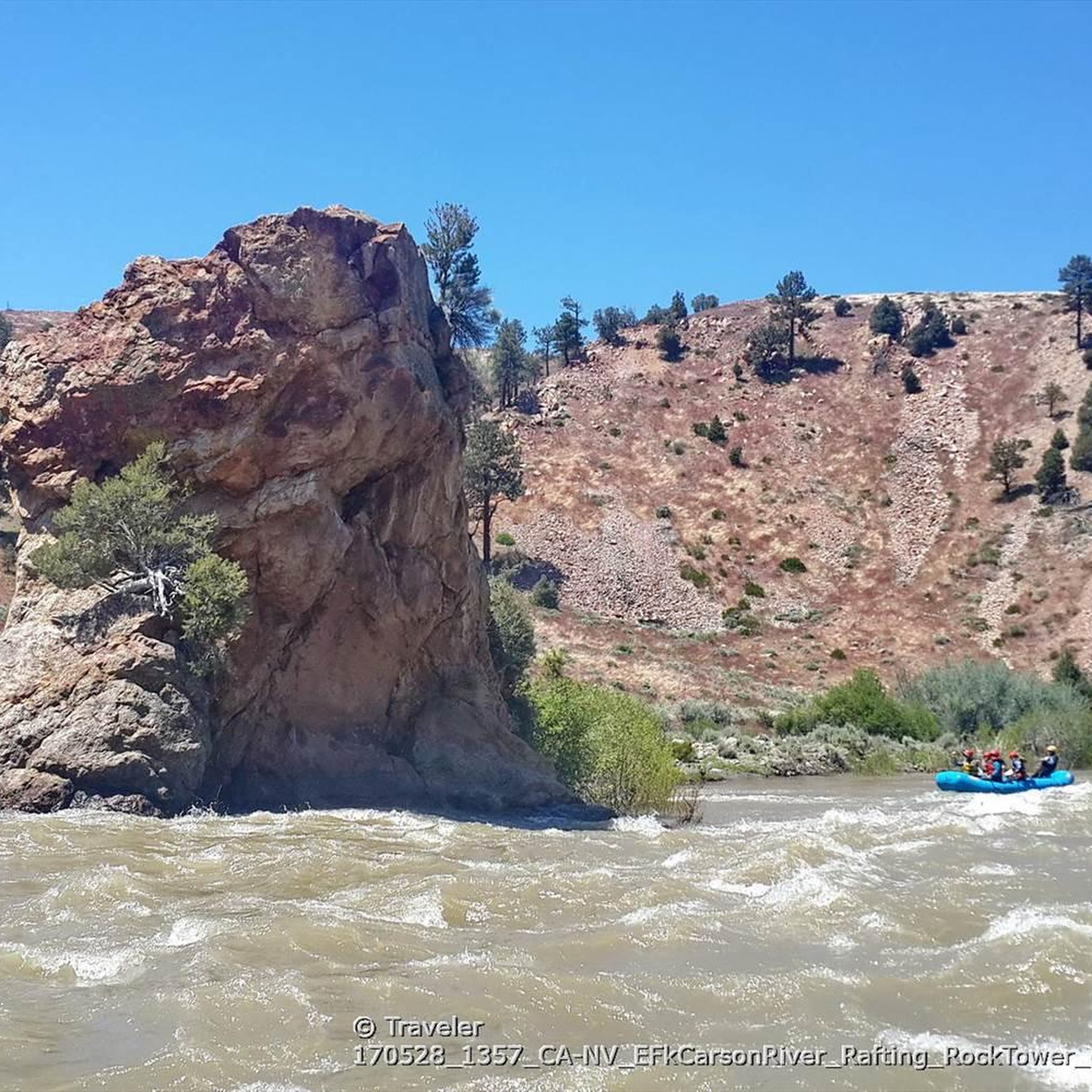
Road Cycling Routes in Lyon County
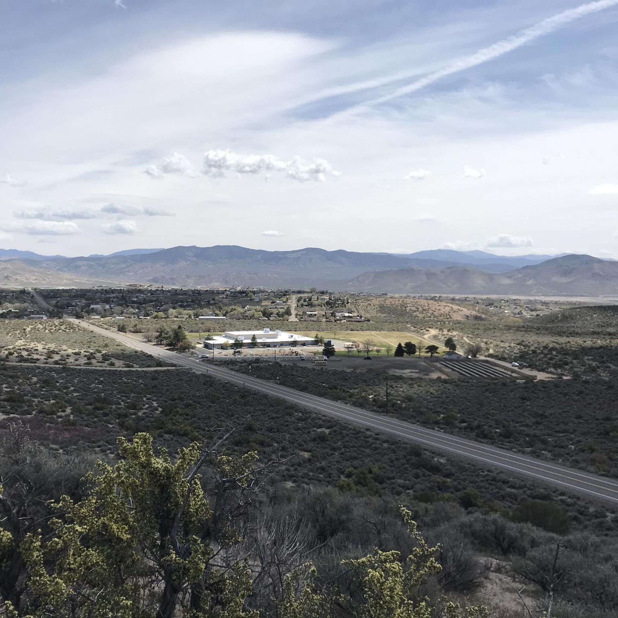
Road Cycling Routes in Carson City
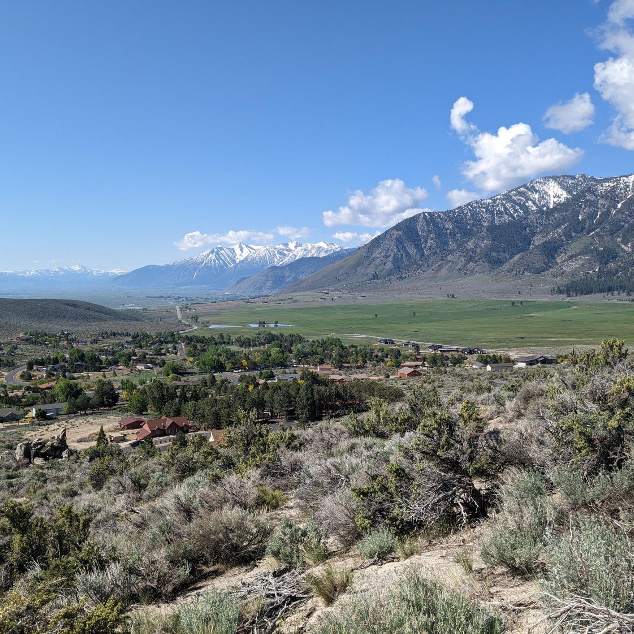
Road Cycling Routes around Carson City

American Discovery Trail — Walking from sea to shining sea
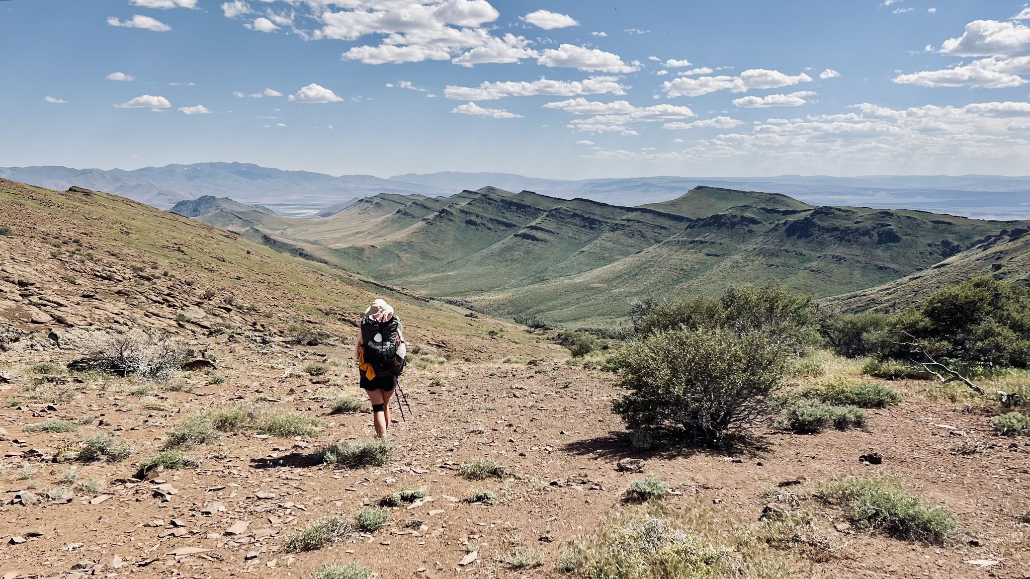
Oregon Desert Trail – Roughly the Right Direction
The view of the museum and the dam are extremely interesting, the guides are very good at getting the public excited.
0
0
Fantastic views. Unfortunately, completely overcrowded.
0
0
Several good groups to ride with depending on your pace!
0
0
The Bayview Campground would offer a good parking lot. However, it is now closed until Spring 2025. Maybe one has to consider parking along the street during day trips.
0
0
Great, world-famous building - a must-see. Easy to get to.
0
0
There is a short accessible path to the overlook from Highway 50 with restrooms and three stone benches. You can leave the crushed gravel path to the overlook and climb up on the rocks of the shoreline to get a better view. This spot is well worth the stop!
0
0
Nevada offers a wide variety of road cycling experiences, with over 280 routes available. These routes cater to different skill levels, including easy, moderate, and difficult options.
Nevada's road cycling routes traverse diverse landscapes. You can expect to see dramatic red rock formations in areas like Red Rock Canyon, stunning lake views around Lake Tahoe and Lake Mead, and challenging mountain passes in the Sierra Nevada. There are also routes through arid desert expanses and charming rural farmland.
Yes, Nevada offers routes suitable for various skill levels, including easier options. For instance, parts of the River Mountains Loop Trail are paved and multi-use, offering a more accessible experience. The Tahoe East Shore Trail also provides a fun and easy ride with scenic views.
For experienced cyclists seeking a challenge, Nevada's Sierra Nevada mountains offer routes with substantial elevation gain. The Lake Tahoe loop is a difficult 73.1-mile route with over 1,200 meters of ascent. Other challenging options include routes over notorious passes in the Carson Valley area, such as the Kingsbury Grade – Luther Pass Loop or the Woodfords – Blue Lakes Out-and-Back.
Many routes in Nevada are known for their scenic beauty. The Calico Basin and Red Rock Canyon Scenic Loop offers stunning desert views and vibrant red rock formations. The River Mountains Loop Trail provides panoramic views of Lake Mead. For mountain vistas, the Lake Tahoe area is unparalleled. You can also find viewpoints like Clear Creek Overlook along some routes.
Yes, some routes in Nevada offer opportunities to explore historical sites and unique attractions. For example, cycling in Nevada County around Nevada City can lead you past historic sites like the North Star Powerhouse Mining Museum. The Ward Charcoal Ovens State Historic Park is another unique attraction accessible by bike from Ely. You might also encounter highlights like Spooner Summit or Railroad Pass Hotel & Casino near some mountain passes.
The best time for road cycling in Nevada generally depends on the specific region and elevation. Spring and fall offer pleasant temperatures for desert and lower-elevation routes like Red Rock Canyon. For high-elevation mountain passes and the Lake Tahoe area, summer is ideal, as winter can bring snow and colder conditions, making many routes inaccessible.
Many popular cycling areas in Nevada offer convenient parking. For instance, Red Rock Canyon has visitor centers with parking. Towns in the Carson Valley, such as Genoa, serve as excellent starting points with available parking. You can also find specific parking highlights like Mt Rose Summit Plaza - Tahoe Rim Trailhead near some routes.
The road cycling routes in Nevada are highly rated by the komoot community, with an average score of 4.7 stars from over 180 reviews. Cyclists often praise the stunning and varied landscapes, from the vibrant red rock formations to the serene lake views and challenging mountain climbs. The well-maintained routes and diverse terrain for all levels are frequently highlighted.
Absolutely. Red Rock Canyon National Conservation Area is renowned for its dramatic red rock formations and striking desert scenery, offering a unique cycling experience. Another spectacular area is Valley of Fire State Park, celebrated for its dazzling rock formations and vibrant red and orange colors, where cyclists can marvel at features like Bee Hive Rocks and Elephant Rock.
Yes, Nevada is home to several road cycling routes that provide breathtaking views of its iconic lakes. The Lake Tahoe loop offers continuous stunning vistas of the lake and surrounding mountains. Near Henderson, the River Mountains Loop Trail provides expansive views of Lake Mead and the surrounding desert landscape.
Along popular routes, you can often find visitor centers, especially in areas like Red Rock Canyon, which provide information and facilities. Towns situated along cycling routes, such as those in Carson Valley, offer convenient amenities like restrooms, places to refuel, and dining options. Some routes may also have specific facilities like Flume Trail Bikes for services.


Check out more Road cycling routes throughout Nevada below and find the perfect route in your destination.
Browse the best Road cycling routes in other regions.