The best walks and hikes around Neustift im Mühlkreis
4.5
(4259)
17,216
hikers
63
hikes
Hiking trails Neustift im Mühlkreis offer a diverse range of routes suitable for various experience levels. The region is characterized by its picturesque landscape, featuring natural monuments, water features like the Ranna Reservoir Dam and Willramsbach Stream, and historical sites such as castles. This area provides a mix of terrain, from gentle paths along streams to routes with moderate elevation changes, making it a popular destination for outdoor activities.
Best hiking trails around Neustift im Mühlkreis
- The most popular hiking…
Last updated: September 29, 2026
4.8
(129)
523
hikers
Moderate hike. Good fitness required. Easily-accessible paths. Suitable for all skill levels.
4.6
(100)
362
hikers
12.0km
03:32
340m
340m
Moderate hike. Good fitness required. Easily-accessible paths. Suitable for all skill levels.

4.7
(37)
199
hikers
Easy hike. Great for any fitness level. Easily-accessible paths. Suitable for all skill levels.
4.8
(25)
115
hikers
Moderate hike. Good fitness required. Easily-accessible paths. Suitable for all skill levels.
4.8
(24)
115
hikers
Moderate hike. Good fitness required. Easily-accessible paths. Suitable for all skill levels.
Get access to more routes and recommendations from other explorers.
Already have an account?
Our route recommendations are based on thousands of hikes, rides, and runs completed by other people on komoot.
Start today with a free account
Your next adventure awaits.
Popular around Neustift im Mühlkreis
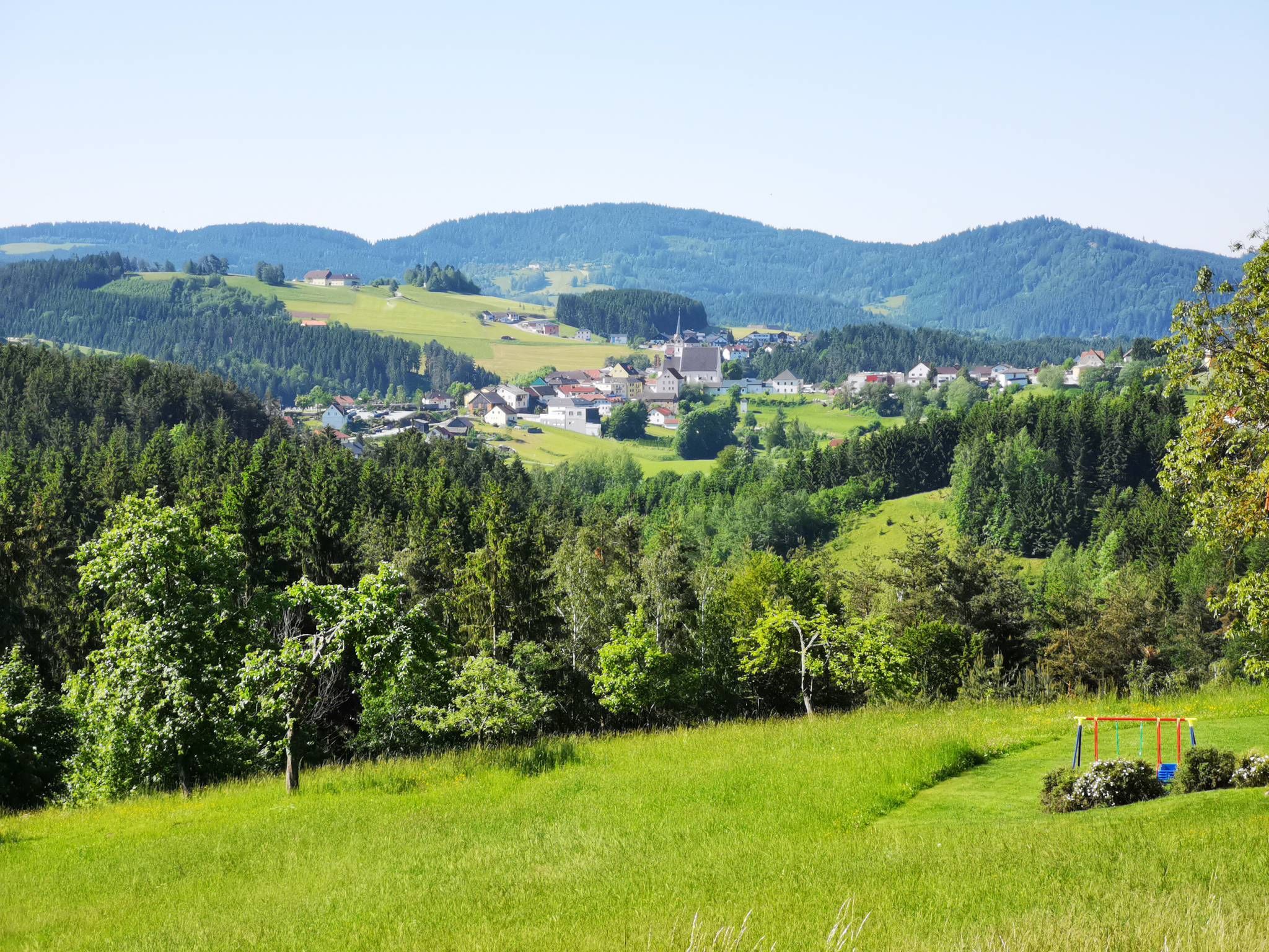
Austria's Mühlviertel Cycle Path — A hilly idyll

E-bike Tours in the Danube region in Upper Austria
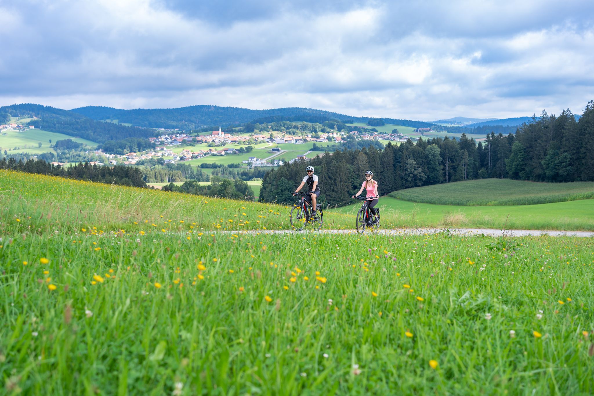
Radtouren zwischen Donau und Moldau - unterwegs im Bayerischen Wald
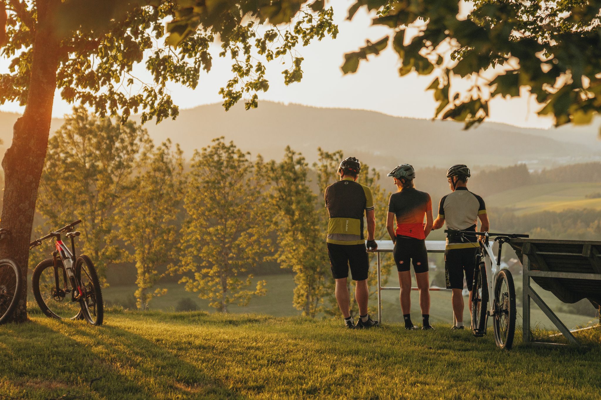
Biken auf der Grande Granit-Runde
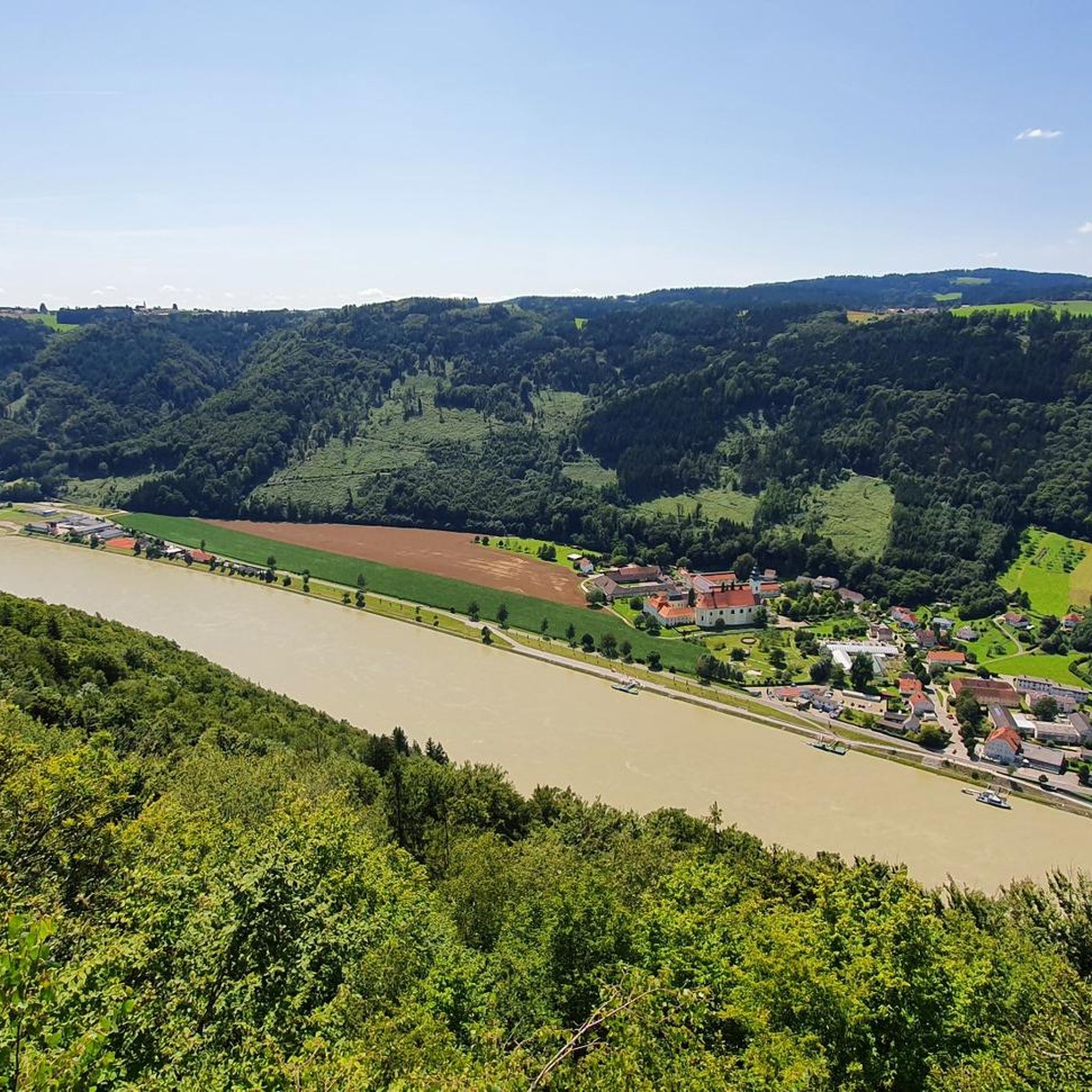
Cycling around Neustift im Mühlkreis
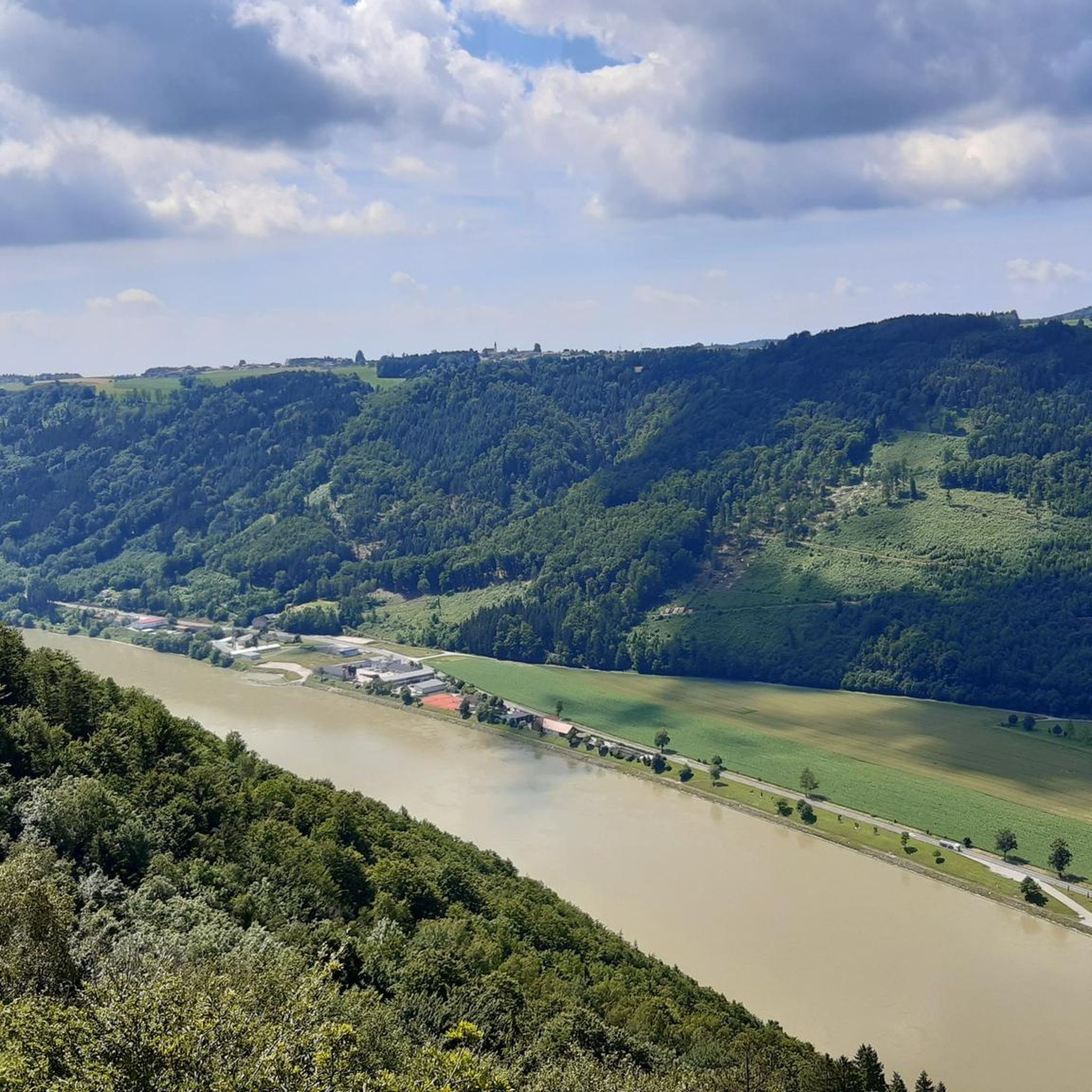
Running Trails around Neustift im Mühlkreis
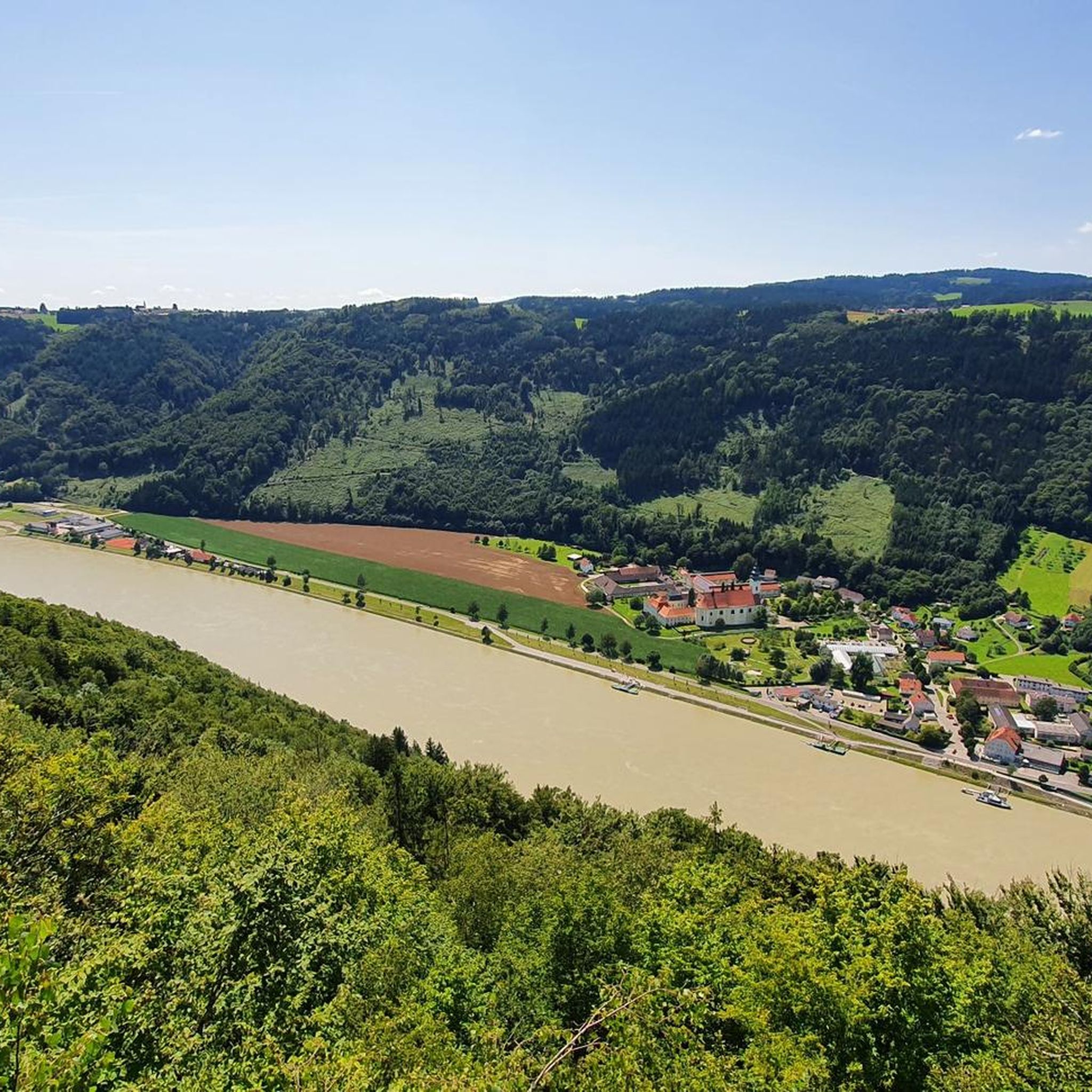
Road Cycling Routes around Neustift im Mühlkreis
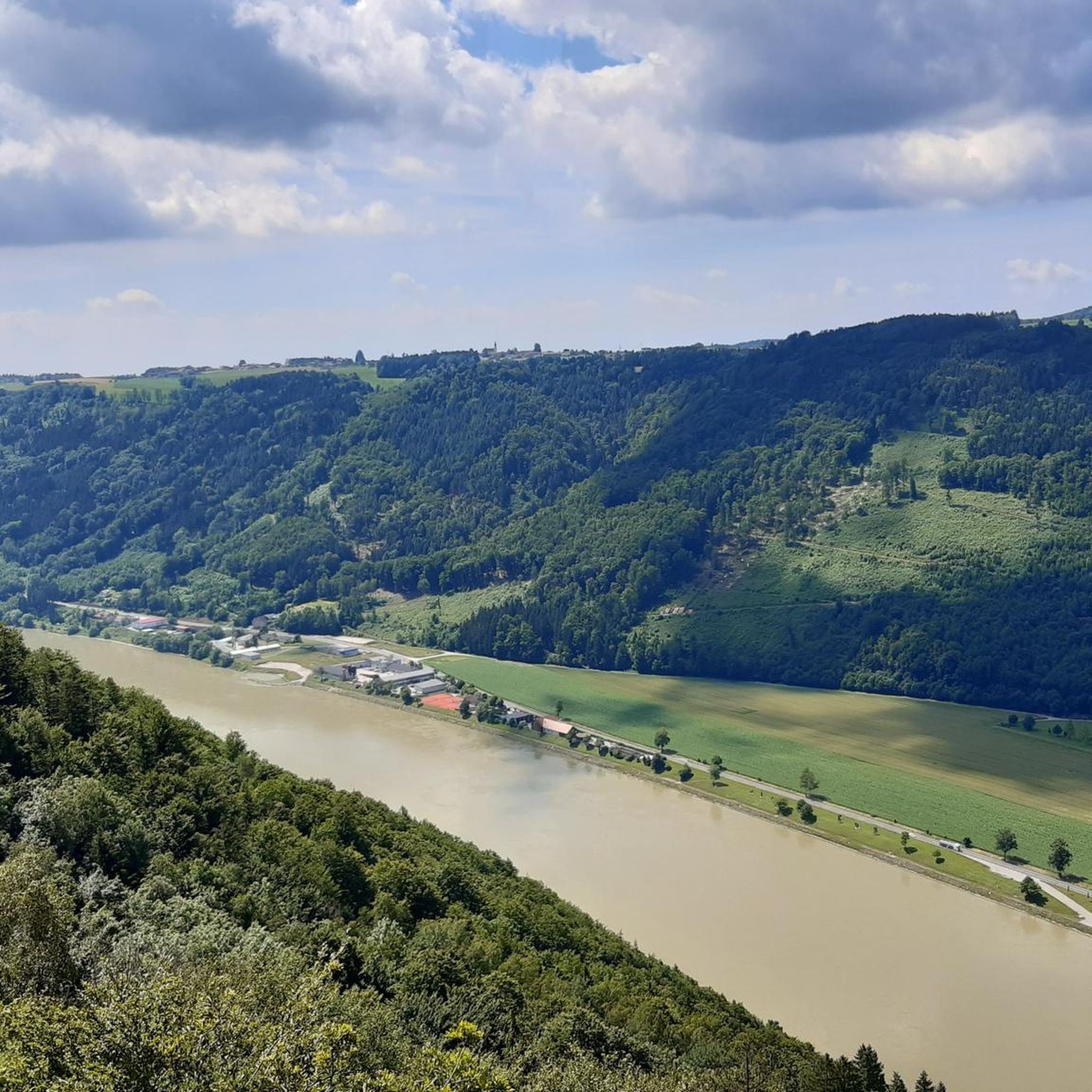
MTB Trails around Neustift im Mühlkreis

Gravel biking around Neustift im Mühlkreis

Mountain Hikes around Neustift im Mühlkreis
Other adventures around Neustift im Mühlkreis


Tips from the Community

The Rannastauseemauer can be crossed by car and on foot
0
0
The Ranna reservoir is always a pleasant place for a stroll, no matter the season!
0
0
the dam at the Ranna reservoir
0
0

The parish church of Rannariedl is located in the village of Pühret, in the municipality of Neustift im Mühlkreis, in the upper Mühlviertel region of Upper Austria. The Roman Catholic parish church of the Assumption of Mary belongs to the deanery of Sarleinsbach in the Diocese of Linz. The church is a listed building.
0
0

There is a great public toilet with drinking water in the rectory!
0
0
The parish church was built after 1948 and consecrated in 1953.
0
1

The Donaublick Penzenstein is a viewing point overlooking the Danube. Visitors here enjoy magnificent views of the Danube Valley, the Jochenstein Power Plant, and Engelhartszell. The most popular tourist destination in the municipality is a must-see. At Penzenstein there is also a small chapel, where mass is held during the summer months (every 13th of the month) and which is also a popular pilgrimage destination. There is also a rest area on the Donausteig trail. Source: https://www.urlaub-neustift.at/genussurlaub/sehenswuerdigkeiten/details/6-donaublick-penzenstein.html
2
0
On the Penzenstein, a 568 m high rocky outcrop with an iron cross and views of the Danube Valley and Engelhartszell, the chapel, built in 1790, nestles against the rocks. Legend tells that "Seppenhans" from Kramesau saved a statue of "St. Nepomuk" from a flood. When a wooden chapel was built on the Penzenstein, he placed his Nepomuk there, but this brought terrible misfortune to the Kramesau. He brought the statue home, but the surrounding villages continued to be haunted. A farmer from Großmollsberg decided to put an end to the haunting and built a new chapel on the Penzenstein. Only then did peace return.
3
0
Frequently Asked Questions
How many hiking trails are available in Neustift im Mühlkreis?
Neustift im Mühlkreis offers a wide variety of hiking opportunities, with over 60 trails to explore. These range from easy walks to more challenging routes, ensuring options for all experience levels.
What kind of terrain and difficulty can I expect on hikes around Neustift im Mühlkreis?
The region features a diverse landscape, from gentle paths along streams to routes with moderate elevation changes. You'll find over 30 easy trails, 32 moderate routes, and a few more challenging options, often leading through picturesque forests, past natural monuments, and along water features like the Ranna Reservoir.
Are there family-friendly hiking trails in Neustift im Mühlkreis?
Yes, Neustift im Mühlkreis is well-suited for families. Many trails offer gentle gradients and scenic surroundings. An excellent option for a family outing is the Willramsbach Stream – Fitness Trail Mühlviertel loop from Rannatalsperre, an easy 2.4-mile (3.9 km) path that follows the Willramsbach Stream.
Can I bring my dog on the hiking trails in Neustift im Mühlkreis?
Most hiking trails in Neustift im Mühlkreis are dog-friendly, allowing you to enjoy the natural beauty with your canine companion. It's always recommended to keep dogs on a leash, especially in areas with wildlife or near livestock. A good choice for a walk with your dog could be the Willramsbach Stream – Fitness Trail Mühlviertel loop from Neustift im Mühlkreis, offering varied terrain.
Are there any circular hiking routes in the area?
Yes, many of the trails in Neustift im Mühlkreis are designed as circular routes, allowing you to start and end at the same point. For example, the Forest Stream in Mühlviertel – Ranna Reservoir Dam loop from Schloss Rannariedl is a popular moderate circular trail exploring the scenic Ranna Reservoir area.
What natural features or landmarks can I see while hiking in Neustift im Mühlkreis?
The region is rich in natural beauty and historical sites. You can explore significant natural monuments, enjoy views from mountain peaks like Haugstein Summit (895 m), and discover water features such as the Ranna Reservoir and the Willramsbach Stream. Historical sites like Falkenstein Castle Ruins also add to the scenic diversity.
What do other hikers enjoy most about hiking in Neustift im Mühlkreis?
The hiking trails in Neustift im Mühlkreis are highly rated by the komoot community, with an average score of 4.4 stars from over 500 reviews. Hikers often praise the diverse trails, the vibrant nature, and the picturesque landscape, which offers a mix of natural monuments and water features.
Are there any viewpoints or mountain peaks accessible by hiking?
Absolutely. The area around Neustift im Mühlkreis features several mountain peaks and viewpoints offering panoramic vistas. You can hike to summits like Haugstein Summit (895 m) or visit the Ameisberg Tower for expansive views of the surrounding landscape.
Is public transport available to reach hiking trailheads in Neustift im Mühlkreis?
While specific public transport options to individual trailheads may vary, Neustift im Mühlkreis is generally accessible by regional bus services. It's advisable to check local bus schedules for connections to the village center or specific starting points for your chosen hike.
Where can I find parking for hiking trails in Neustift im Mühlkreis?
Parking is typically available near popular trailheads and in the village center of Neustift im Mühlkreis. Many routes, such as the Sea of Rocks on the Frauensteig – View of Jochenstein loop from Neustift im Mühlkreis, start directly from the village, where parking facilities can be found.
Are there any castles or historical sites to explore on hikes?
Yes, the region around Neustift im Mühlkreis is dotted with historical sites, including castles. You can incorporate visits to places like Falkenstein Castle Ruins or Obernzell Castle & Castle Park into your hiking plans, adding a cultural dimension to your outdoor adventure.
Most popular routes around Neustift im Mühlkreis
Most popular attractions around Neustift im Mühlkreis

Get inspired with the komoot mobile app


Explore more
Browse the best Hikes in other regions.
