The best walks and hikes around Neiße-Malxetal
4.7
(2054)
7,625
hikers
45
hikes
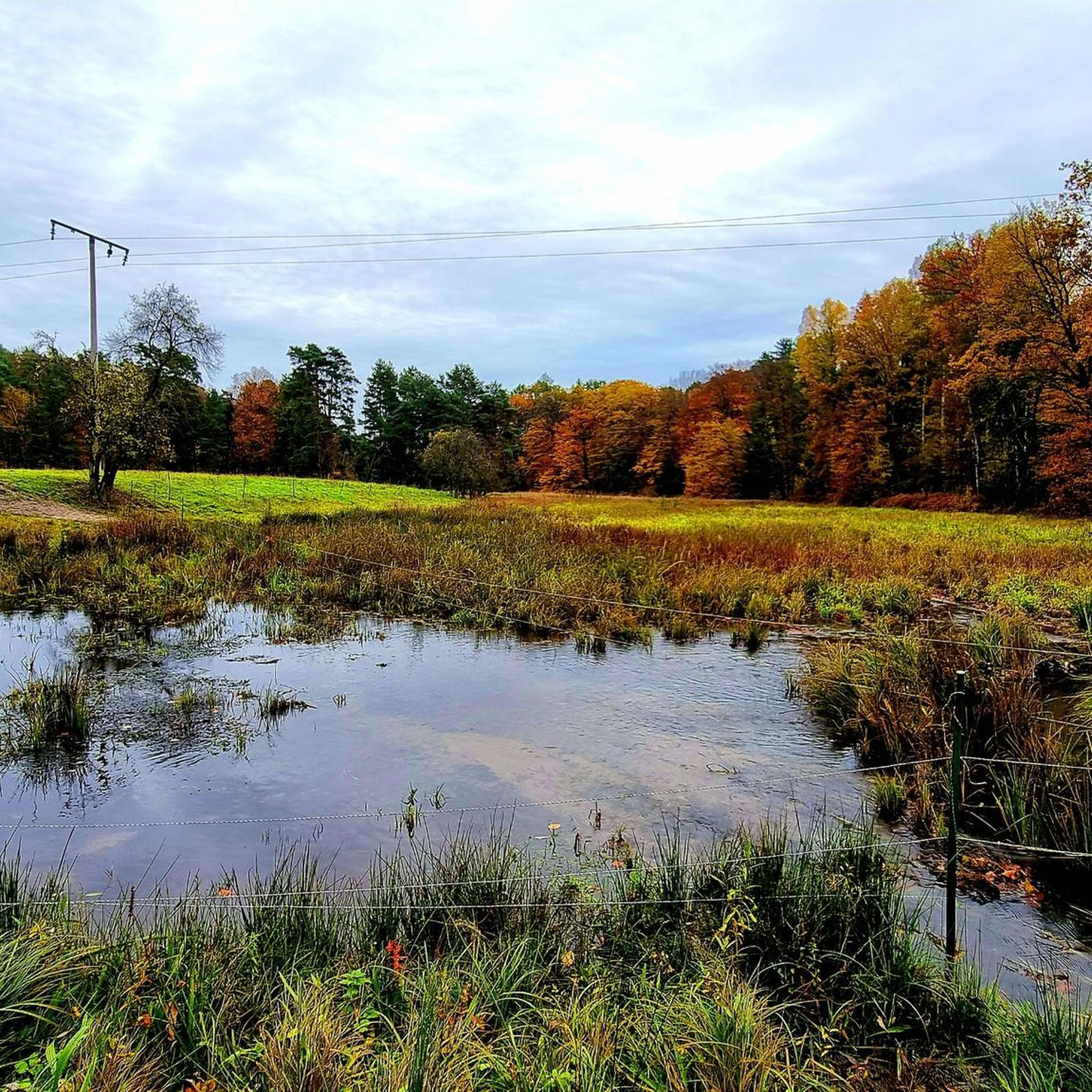
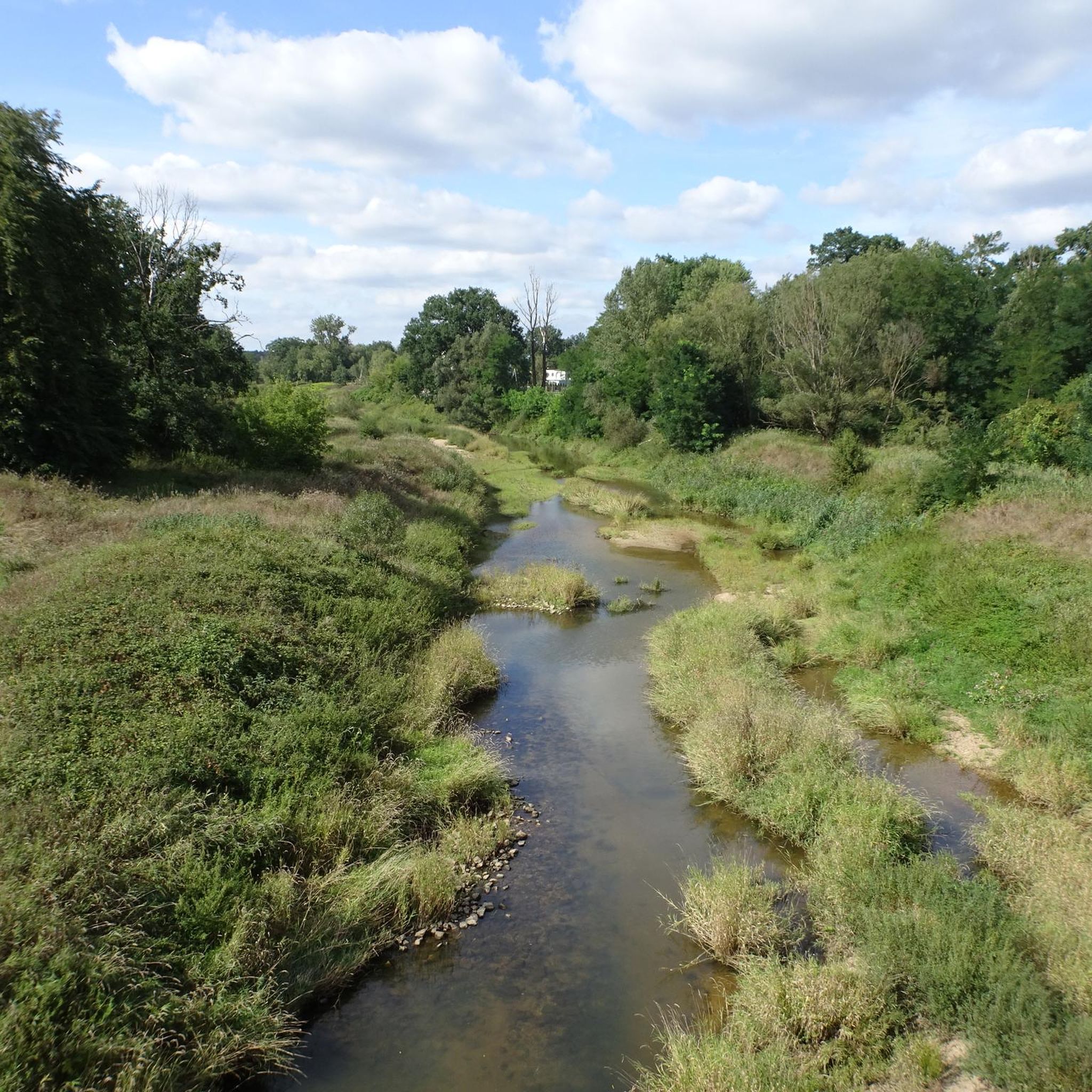
Hiking around Neiße-Malxetal offers diverse natural landscapes shaped by the tranquil Neiße and Malxe rivers. The region features extensive forests, primarily pines, interspersed with deciduous trees. A notable geological formation is the Muskauer Faltenbogen, a UNESCO Geopark with varied relief including hills and depressions. This area provides a network of trails through riverine landscapes, forests, and unique geological features.
Best hiking trails around Neiße-Malxetal
- The most popular hiking route is Neisse Weir at Zelz – Wolf Gorge loop from Siedlec…
Last updated: July 5, 2026
4.5
(32)
95
hikers
8.85km
02:20
80m
80m
Moderate hike. Good fitness required. Easily-accessible paths. Suitable for all skill levels.
4.5
(27)
82
hikers
Easy hike. Great for any fitness level. Easily-accessible paths. Suitable for all skill levels.

Sign up for free
4.6
(8)
17
hikers
Easy hike. Great for any fitness level. Easily-accessible paths. Suitable for all skill levels.
5.0
(5)
11
hikers
16.7km
04:26
160m
160m
Moderate hike. Good fitness required. Easily-accessible paths. Suitable for all skill levels.
5.0
(4)
11
hikers
7.69km
02:04
100m
100m
Moderate hike. Good fitness required. Easily-accessible paths. Suitable for all skill levels.
Get access to more routes and recommendations from other explorers.
Sign up for free
Already have an account?
Our route recommendations are based on thousands of hikes, rides, and runs completed by other people on komoot.
Start today with a free account
Your next adventure awaits.
Login or Signup
Popular around Neiße-Malxetal
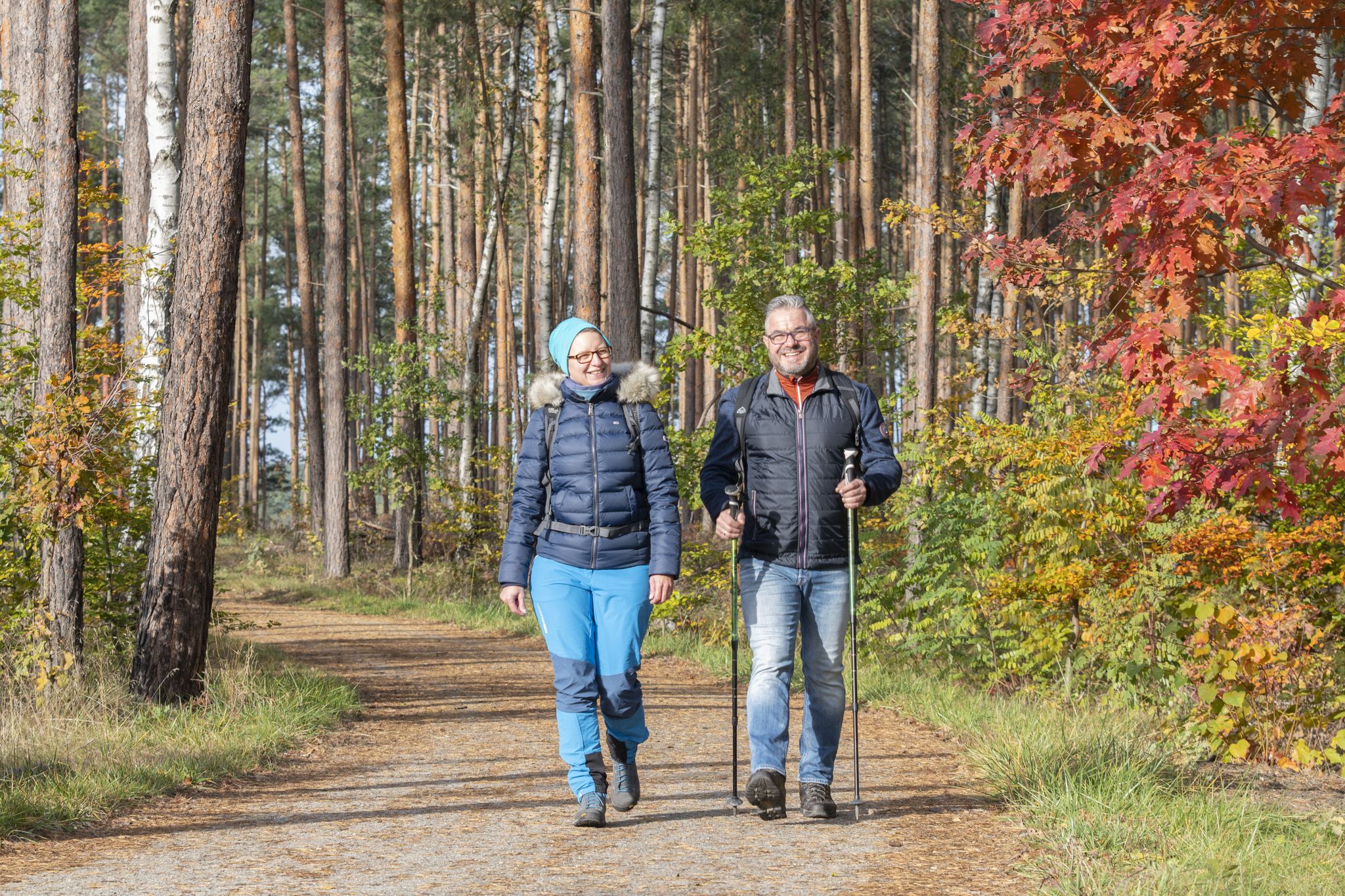
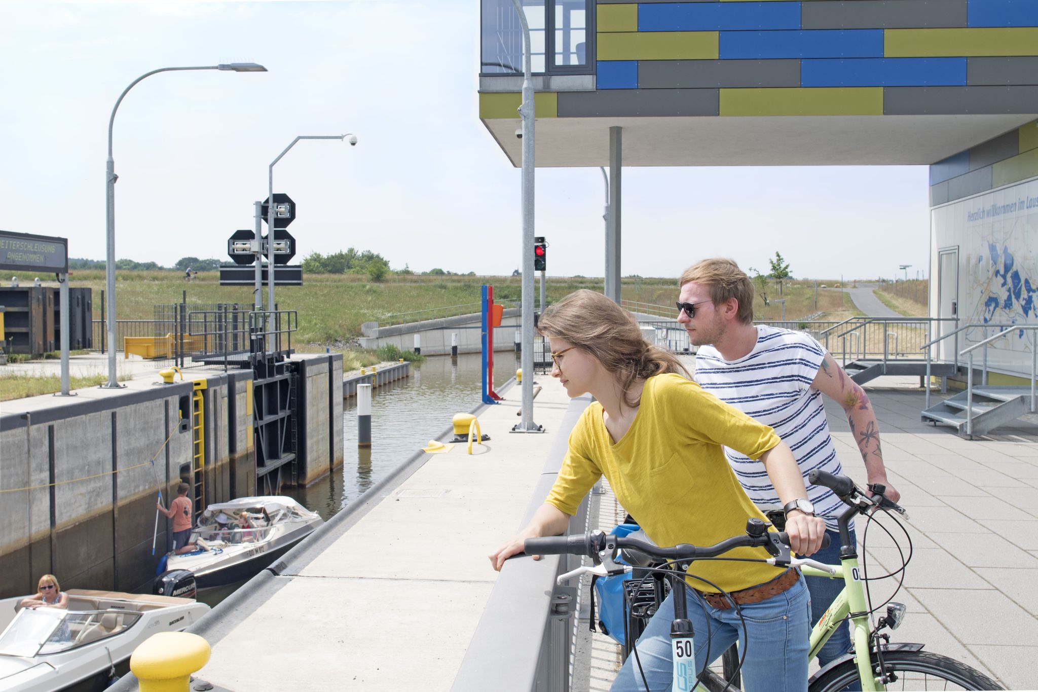
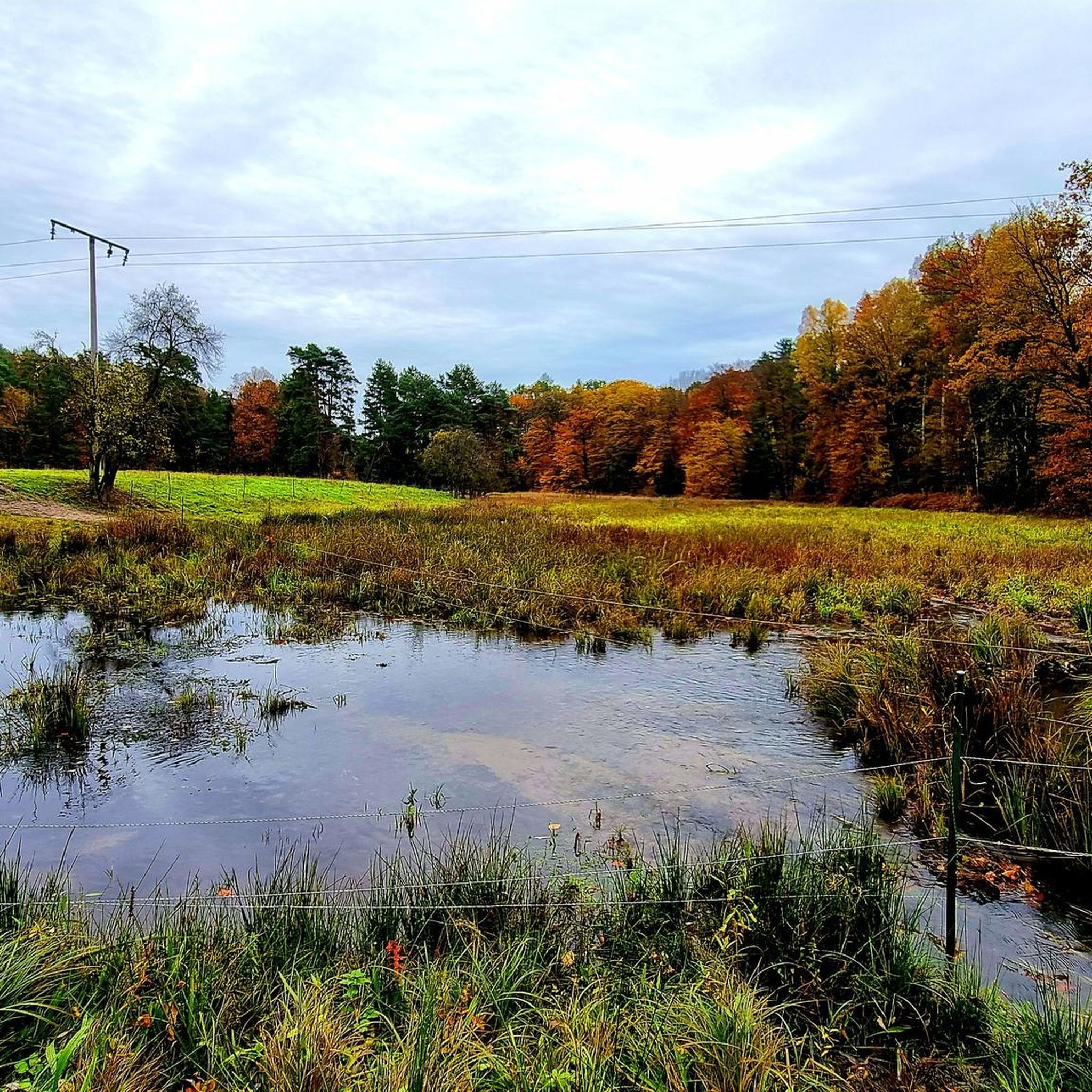


Tips from the Community

The Forst – Weißwasser railway line, on which the Groß Kölzig station was located, was in operation from 1891 to 1996. The buildings of the former station are now privately owned.
1
0

A beautiful area for hiking and cycling.
0
0
Always good for a short stopover!
0
0

Unfortunately, the Fairytale Forest circular trail from Zelz onward is so overgrown that you'll need a bush knife/brush cutter. Brambles, nettles, and man-high grasses—it's a shame it's not maintained. 09/2025
0
0


Between the old trees, where the Neisse River flows leisurely, lies a bridge that is more than just a crossing. It connects two places that were once a single village – Zelz and Siedlec – and were separated by history and geography for decades after the war. Today, bicycles once again roll here instead of border patrols. The Neisse Valley Bridge was opened in 2008, after more than sixty years of waiting and planning, as a visible symbol of the partnership between the German town of Zelz and the Polish town of Trzebiel. Anyone traveling here today not only crosses a border, but also a piece of European reconciliation. From the German border post under the large oak tree, you have a beautiful view of the technical structure – unspectacular and, precisely for that reason, touching. Cyclists like to briefly push their bikes aside, look across the river, and take a photo. Perhaps also because the place exudes a quiet solemnity – and because history doesn't intrude here, but rather sits quietly there.
0
0

Thank you very much for the information and the link.
1
0
Frequently Asked Questions
How many hiking trails are available in Neiße-Malxetal?
Neiße-Malxetal offers a wide selection of over 45 hiking trails. These routes cater to various preferences, with 23 easy trails and 22 moderate options, ensuring there's something for every hiker to enjoy.
What are the best times of year to go hiking in Neiße-Malxetal?
The best seasons for hiking in Neiße-Malxetal are spring and autumn. In spring, you'll witness many plants in bloom, bringing vibrant colors to the landscape. Autumn offers fascinating foliage colors and a mild climate, perfect for comfortable exploration of the region's diverse natural features.
Are there any family-friendly hiking trails in Neiße-Malxetal?
Yes, Neiße-Malxetal has several family-friendly options. The region's trails range from easy to moderate, with many suitable for families. For instance, the Ziegelei Railway Klein Kölzig – Luisensee loop from Hp. Naturbad (geplant) is an easy 4.0-mile (6.4 km) trail that leads through forested areas and past the Luisensee, offering a pleasant outing for all ages. The 'Tiergartenpfad' (Zoo Trail) is also ideal for families, leading past a wild animal enclosure.
What kind of terrain can I expect on hikes in Neiße-Malxetal?
The terrain in Neiße-Malxetal is diverse, shaped by the tranquil Neiße and Malxe rivers. You'll find extensive forests, primarily pines, interspersed with deciduous trees. A significant feature is the Muskauer Faltenbogen, a UNESCO Geopark with varied relief including hills, depressions, and valley-like channels, some of which can be swampy. Trails often follow riverbanks, traverse woodlands, and explore these unique geological formations.
Are there any circular hiking routes in Neiße-Malxetal?
Yes, many of the trails in Neiße-Malxetal are designed as loops, offering convenient starting and ending points. Examples include the popular Neisse Weir at Zelz – Wolf Gorge loop from Siedlec, which covers 5.5 miles (8.8 km), and the easier Rest Area on the Neisse – Neisse Weir at Zelz loop from Żarki Wielkie, a 4.2-mile (6.7 km) path along the Neisse river.
What natural landmarks or viewpoints can I discover while hiking?
Neiße-Malxetal offers several natural landmarks and scenic viewpoints. The Muskauer Faltenbogen UNESCO Geopark is a unique geological formation with varied relief. You can also explore the Neißeterassen, which provide scenic views along the Neiße river, and the notable 'Wolfsschlucht' (Wolf's Gorge). For elevated perspectives, consider ascending the Lissberg (154 meters above sea level).
What do other hikers enjoy most about the trails in Neiße-Malxetal?
The trails in Neiße-Malxetal are highly rated by the komoot community, with an average score of 4.7 stars from over 700 reviews. Hikers often praise the tranquil riverine landscapes, the extensive pine forests, and the unique geological formations like the Muskauer Faltenbogen. The variety of routes, from easy walks to moderate hikes, also contributes to a positive experience for many.
Are there any historical sites or castles to visit near the hiking routes?
Yes, the region is home to several historical sites and castles. A significant highlight is the New Muskau Castle and its extensive park, which offers a unique blend of architecture, garden art, and nature. You can also find other castle highlights such as the New Muskau Palace (Fürst-Pückler Park Bad Muskau) and the Fürst Pückler Castle.
Can I spot wildlife while hiking in Neiße-Malxetal?
Yes, the diverse biotopes within the Muskauer Faltenbogen UNESCO Geopark and the extensive forests provide opportunities for wildlife spotting. The region is known for its rich flora and fauna, including rare and protected plants, a significant abundance of mushrooms, and wildlife such as deer and red deer. The 'Tiergartenpfad' (Zoo Trail) specifically offers a chance to experience native animals up close.
Are there any notable parks or gardens in the Neiße-Malxetal area?
Absolutely. The Rhododendron Park Kromlau is a beautiful attraction and a great starting point for hikes. Within this park, you'll find the famous Rakotzbrücke (Devil's Bridge), a unique photographic spot. Additionally, the extensive Muskau Park, surrounding the New Muskau Castle, is a significant highlight for its blend of architecture, garden art, and nature.
What is the longest moderate hike available in Neiße-Malxetal?
For those seeking a longer moderate challenge, the Wolf Gorge – Grenzerquelle (Border Spring) loop from Siedlec is a great option. This trail spans approximately 10.4 miles (16.8 km) and takes around 4 hours 26 minutes to complete, offering an immersive experience through the region's varied landscapes.
Most popular routes around Neiße-Malxetal
Most popular attractions around Neiße-Malxetal

Get inspired with the komoot mobile app


Explore more
Browse the best Hikes in other regions.
