The best MTB trails around Nauendorf
4.5
(329)
1,080
riders
170
rides
Mountain biking around Nauendorf offers diverse terrain within the Weimarer Land region of Thuringia, Germany. The area is characterized by rolling hills and its proximity to the expansive Thuringian Forest. Many routes center around the Hohenfelden Reservoir, providing varied landscapes for mountain bikers. The Ilm River also runs through the region, contributing to the natural surroundings.
Best mountain bike trails around Nauendorf
- The most popular mountain bike trail is Viewpoint at the Sonnenhof – Hohenfelden Reservoir loop from Kranichfeld,…
Last updated: June 25, 2026
4.0
(6)
11
riders
15.6km
01:17
270m
270m
Moderate mountain bike ride. Great for any fitness level. Advanced riding skills necessary.
5.0
(1)
3
riders
31.7km
02:21
410m
410m
Moderate mountain bike ride. Good fitness required. Advanced riding skills necessary.

Sign up for free
5.0
(1)
4
riders
21.8km
01:45
350m
350m
Moderate mountain bike ride. Good fitness required. Advanced riding skills necessary.
3.0
(1)
5
riders
Moderate mountain bike ride. Great for any fitness level. Advanced riding skills necessary.
5.0
(1)
4
riders
20.1km
01:39
370m
370m
Moderate mountain bike ride. Good fitness required. Advanced riding skills necessary.
Get access to more routes and recommendations from other explorers.
Sign up for free
Already have an account?
Our route recommendations are based on thousands of hikes, rides, and runs completed by other people on komoot.
Start today with a free account
Your next adventure awaits.
Login or Signup
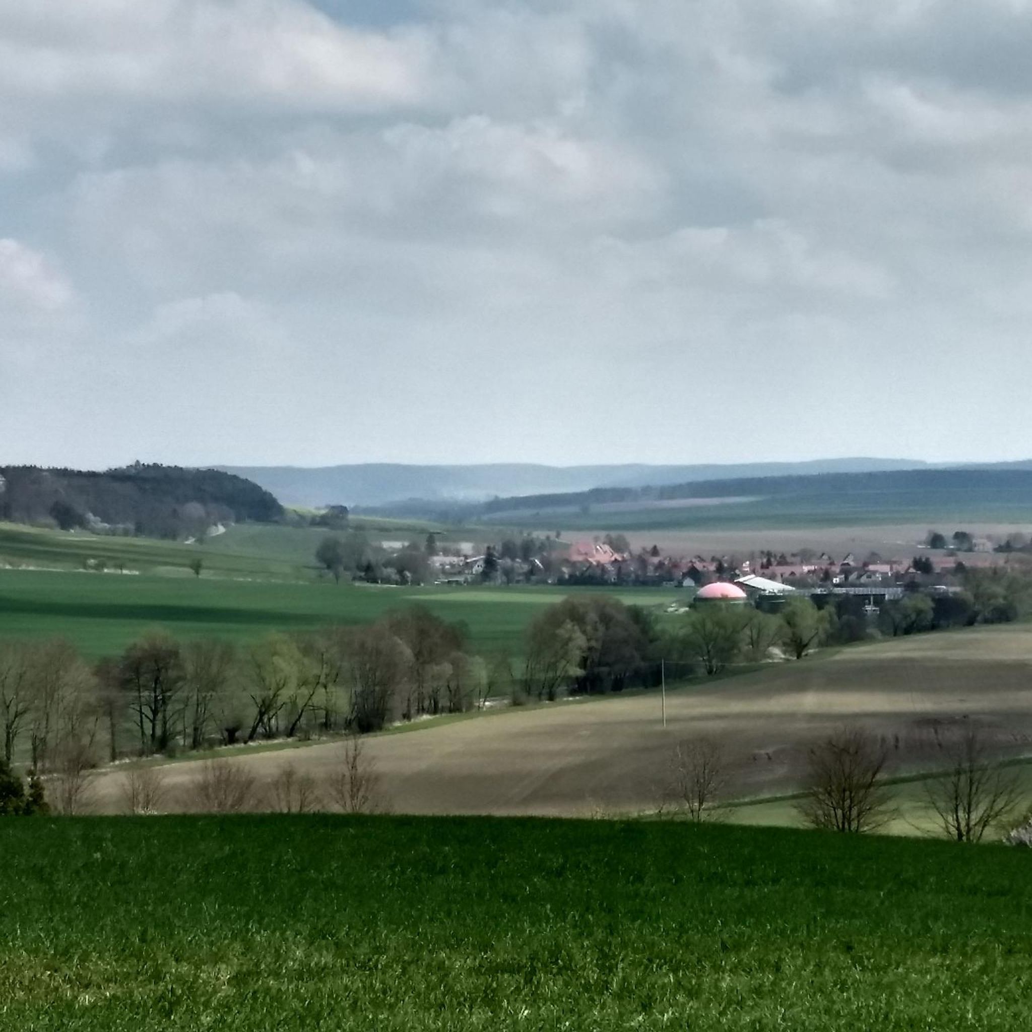
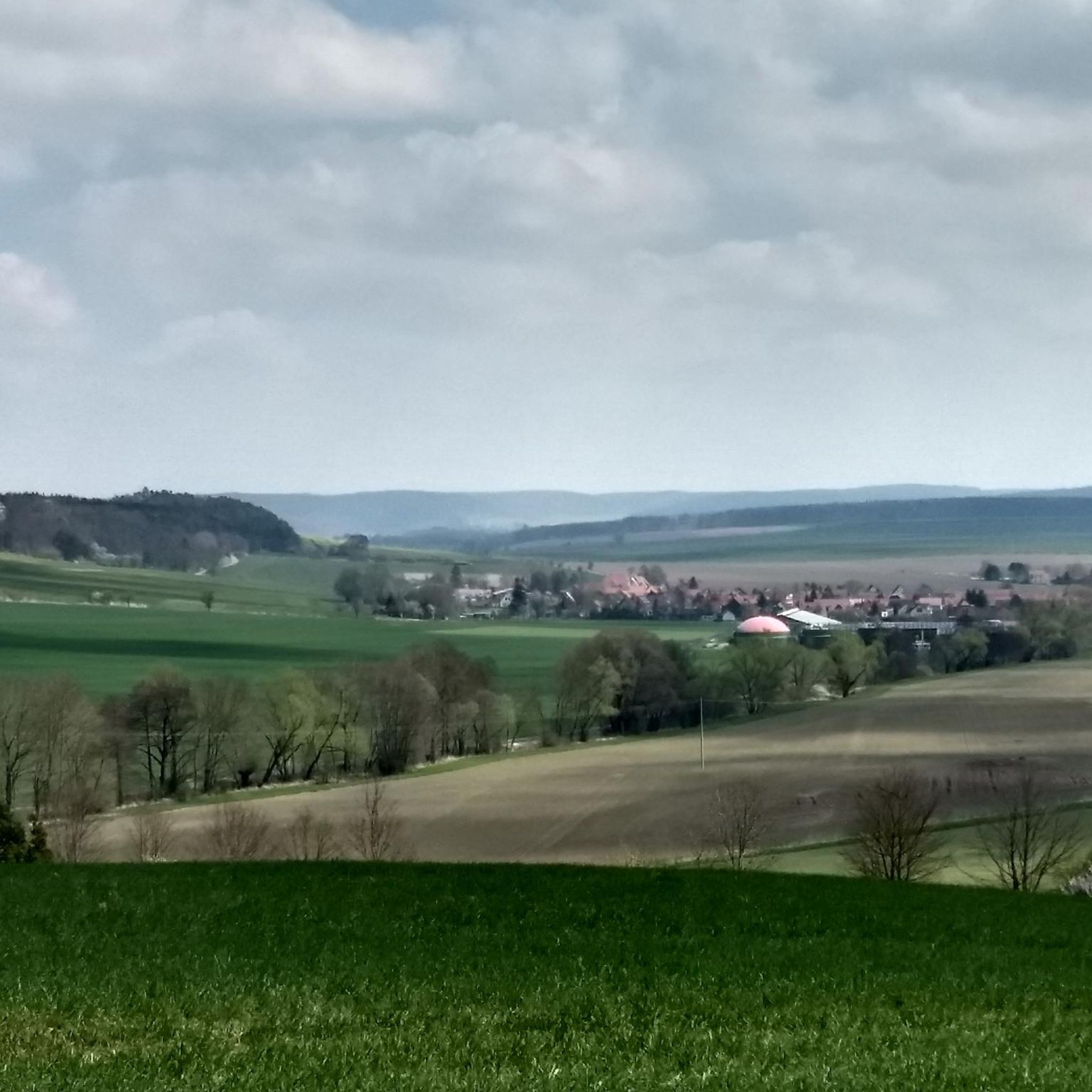
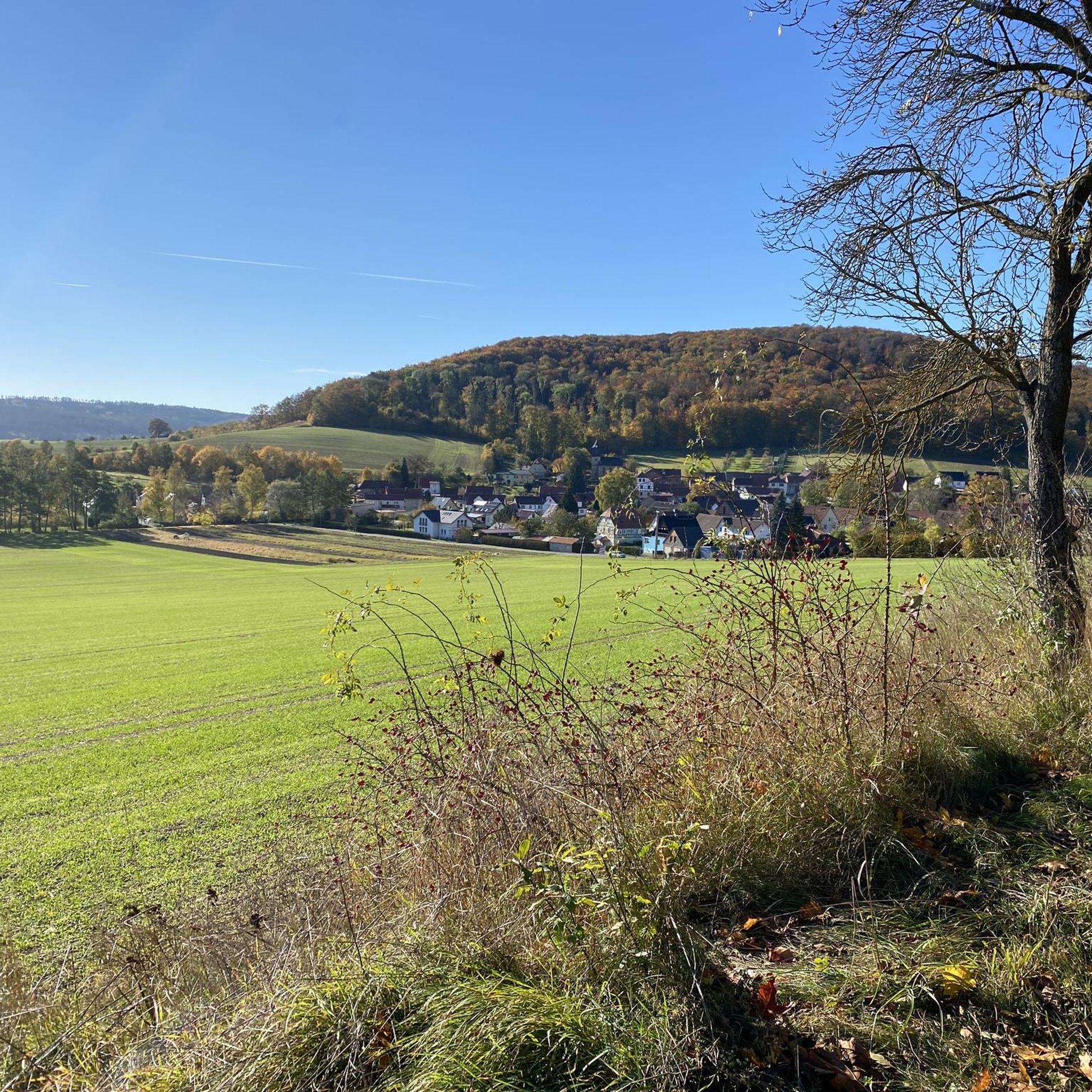
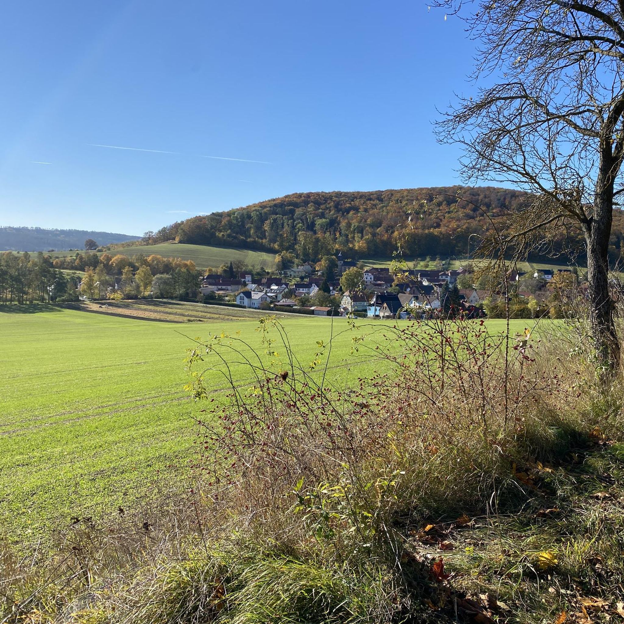
Tips from the Community

Perfect for relaxing
0
0

Big hut but the grill is locked.
6
0
Beautiful Kneipp facility with a large rest area and a refreshing spring.
5
0


Nice short trip to clear your head
0
0

Barbecue area with a beautiful hut 👍
0
0

barbecue area directly on the bike path
0
0
Best view of the lake. Also nice to visit in the evening
0
0
Frequently Asked Questions
How many mountain bike trails are available around Nauendorf?
There are nearly 180 mountain bike trails around Nauendorf, offering a wide variety of options for different skill levels. The komoot community has rated these routes highly, with an average score of 4.5 stars.
What kind of difficulty levels can I expect on mountain bike trails near Nauendorf?
The trails around Nauendorf cater to various skill levels. You'll find a good mix, with 42 easy routes, 127 moderate routes, and 10 more difficult options. The technical difficulty generally ranges from S0-S1, suitable for all skill levels, up to S2, which requires good fitness and advanced riding skills.
Are there any mountain bike routes that offer scenic viewpoints?
Yes, many routes provide scenic views, especially those around the Hohenfelden Reservoir. For example, the Viewpoint at the Sonnenhof – Hohenfelden Reservoir loop from Kranichfeld is a popular choice known for its picturesque vistas over the reservoir.
What natural features or landmarks can I see while mountain biking in the Nauendorf area?
The region is rich in natural beauty and landmarks. You can explore the expansive Thuringian Forest, ride alongside the Ilm River, or enjoy the central Hohenfelden Reservoir. Notable natural monuments include the Goethe Fountain, Bad Berka, and the Limestone Cliffs near Kranichfeld. The Paulinenturm is also a prominent man-made monument in the area.
Are there any circular mountain bike routes around Nauendorf?
Yes, many of the mountain bike routes in the area are designed as loops. A great example is the Hohenfelden Reservoir – Dreiteichgrund loop from Kranichfeld, which offers a moderate 31.6 km ride exploring varied terrain around the reservoir.
What is the best time of year for mountain biking in Nauendorf?
The region's rolling hills and forest trails are generally enjoyable throughout the warmer months, from spring to autumn. While specific seasonal advice isn't available, the diverse landscape of the Thuringian Forest and Hohenfelden Reservoir makes for pleasant riding conditions when the weather is mild.
Are there any family-friendly mountain bike trails in Nauendorf?
While specific 'family-friendly' designations aren't provided, the presence of 42 easy routes suggests there are options suitable for less experienced riders or families. The Ilm Valley Cycle Path, though not exclusively MTB, also offers relaxed cycling opportunities for all ages.
Can I find mountain bike trails that pass by places to eat or stay?
Some routes might offer proximity to amenities. For instance, the Hohenfelden Reservoir – Stiefelburg Forest Guesthouse and Hotel loop from Kranichfeld suggests a route that passes by a guesthouse and hotel, potentially offering a stop for refreshments or accommodation.
What do other mountain bikers enjoy most about the trails in Nauendorf?
The komoot community highly rates the mountain biking experience in Nauendorf, with an average score of 4.5 stars from over 300 reviews. Riders often praise the diverse terrain, the scenic beauty of the Hohenfelden Reservoir, and the varied options available within the Thuringian Forest.
Are there any flow trails in the Nauendorf area?
Yes, there are trails that offer a 'flow' experience. The Flow Trail to Nauendorf – Hohenfelden Reservoir loop from Kranichfeld is a popular 21.8 km route that leads through the Thuringian Forest, designed to provide a smooth and enjoyable riding experience.
Are there any cultural attractions near the mountain bike trails?
Absolutely. Nauendorf is close to significant cultural sites. Historic Weimar, a UNESCO World Heritage site and former home to Goethe, is just a few kilometers away. Additionally, Ettersburg Castle, a favorite spot of Goethe, offers historical charm and beautiful park grounds.
What is the typical elevation gain on mountain bike routes around Nauendorf?
The elevation gain varies depending on the route's length and terrain. For example, a moderate 15.6 km route like the Viewpoint at the Sonnenhof loop has an elevation gain of around 270 meters, while longer routes such as the Hohenfelden Reservoir – Tonndorf Castle loop, at 20 km, can feature over 360 meters of ascent.
Most popular attractions around Nauendorf

Get inspired with the komoot mobile app


Explore more
Browse the best MTB trails in other regions.
