The best road cycling routes in Namur
4.4
(1874)
65,344
riders
3,216
rides
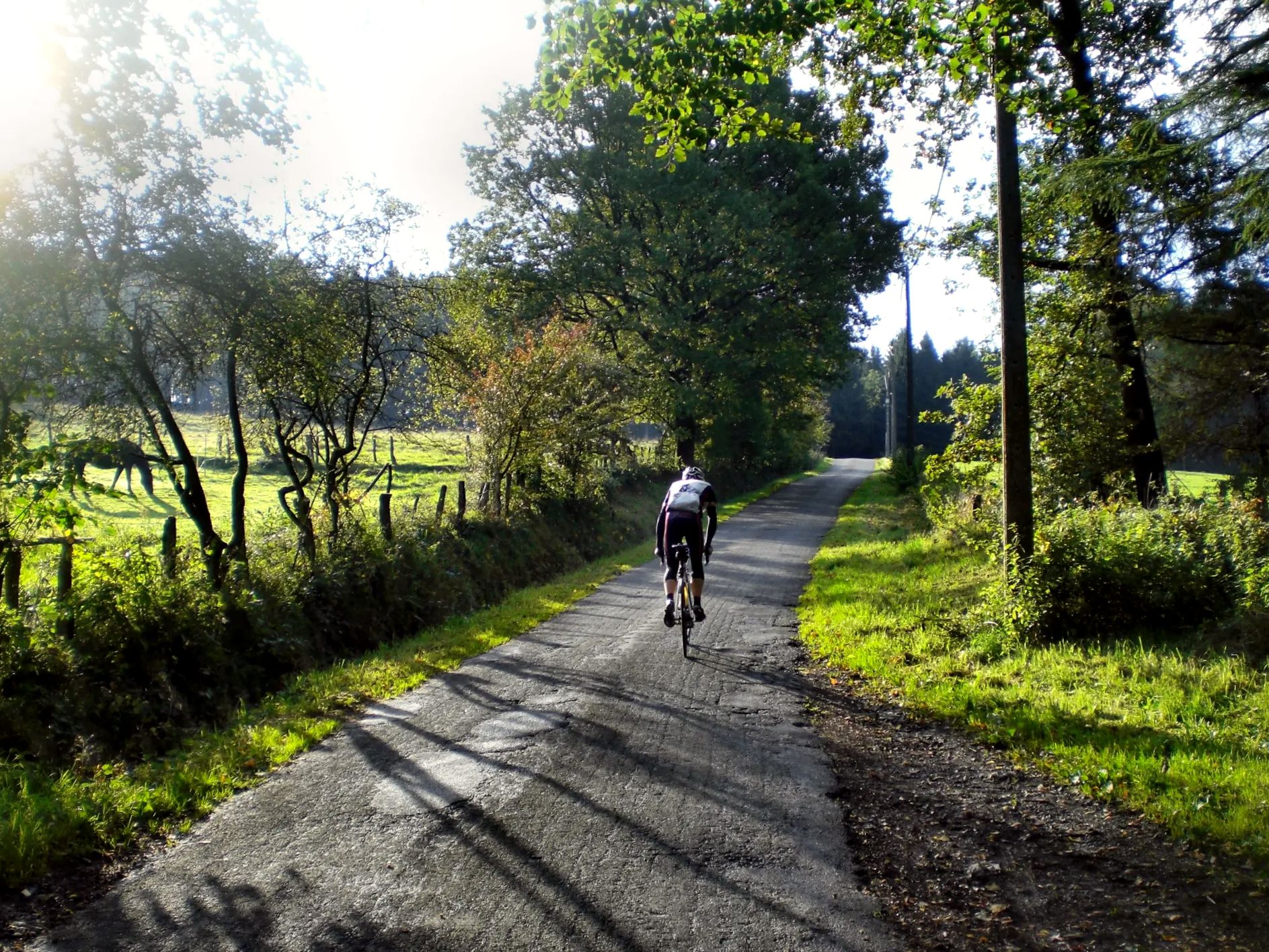
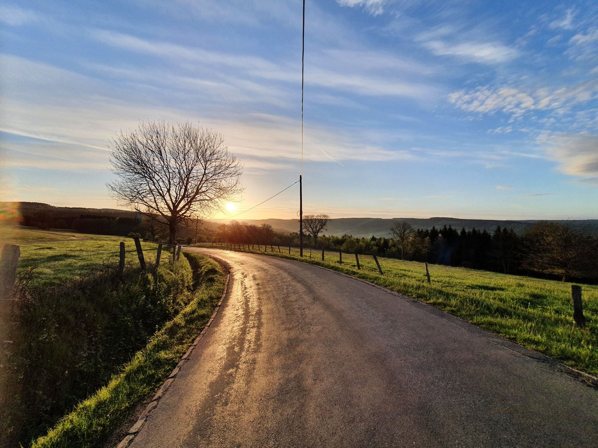
Road cycling in Namur offers diverse landscapes, from river valleys to hilly terrain, catering to various fitness levels. The region features an extensive network of routes, including sections of the RAVeL network, which utilizes former railway lines. Cyclists encounter a mix of well-paved surfaces and more challenging paths with significant elevation gains, particularly in areas like the Condroz and Southern Ardennes. The confluence of the Meuse and Sambre rivers provides scenic, flatter sections, while the surrounding areas present low hills and more rugged topography.
Best road cycling routes in Namur
- The most popular road cycling route is Boucles des Trois RAVeLs - Province of Namur, a 56.1 miles (90.3 km) trail that takes 4 hours 22 minutes to complete, winding through the Meuse, Molignée, and Sambre Valleys.
- Another top favourite among local road cyclists is Vresse loop - Semois Valley National Park, a difficult 35.6 miles (57.3 km) path with over 1000 meters of elevation gain through the rugged Semois Valley.
- Local road cyclists also love the Tour de Namur Cyclo Longue Version - Province of Namur, a 85.6 miles (137.8 km) trail leading through varied terrain, often completed in about 6 hours 54 minutes.
- Road cycling in Namur is defined by river valleys, low hills of the Condroz, and the more rugged Southern Ardennes, with routes utilizing the RAVeL network. The network offers options for different ability levels, from easy rides to challenging climbs.
- The routes in Namur are highly rated by the komoot community with an average score of 4.4 stars from over 1400 reviews. More than 59,000 road cyclists have used komoot to explore Namur's varied terrain.
Last updated: October 10, 2026
4.6
(57)
279
riders
90.3km
04:22
500m
500m
Moderate road ride. Good fitness required. Mostly well-paved surfaces and easy to ride.
4.0
(1)
197
riders
57.3km
03:18
1,020m
1,020m
Hard road ride. Very good fitness required. Mostly well-paved surfaces and easy to ride.

4.0
(2)
115
riders
72.1km
03:41
950m
950m
Hard road ride. Very good fitness required. Mostly well-paved surfaces and easy to ride.
5.0
(1)
97
riders
138km
06:54
1,890m
1,890m
Hard road ride. Very good fitness required. Mostly well-paved surfaces and easy to ride.
5.0
(3)
56
riders
51.7km
02:42
810m
810m
Moderate road ride. Good fitness required. Mostly well-paved surfaces and easy to ride.
4.3
(4)
36
riders
61.2km
03:04
840m
840m
Moderate road ride. Good fitness required. Mostly well-paved surfaces and easy to ride.
3.0
(1)
12
riders
33.9km
01:44
330m
330m
Moderate road ride. Good fitness required. Mostly well-paved surfaces and easy to ride.
5.0
(1)
11
riders
26.5km
01:25
280m
280m
Easy road ride. Great for any fitness level. Mostly well-paved surfaces and easy to ride.
4.7
(17)
1,113
riders
47.5km
02:04
240m
240m
Moderate road ride. Good fitness required. Some segments of this route may be unpaved and difficult to ride.
3.7
(9)
633
riders
47.1km
02:00
260m
260m
Moderate road ride. Good fitness required. Mostly well-paved surfaces and easy to ride.
Get access to more routes and recommendations from other explorers.
Already have an account?
Our route recommendations are based on thousands of hikes, rides, and runs completed by other people on komoot.
Start today with a free account
Your next adventure awaits.
Popular around Namur
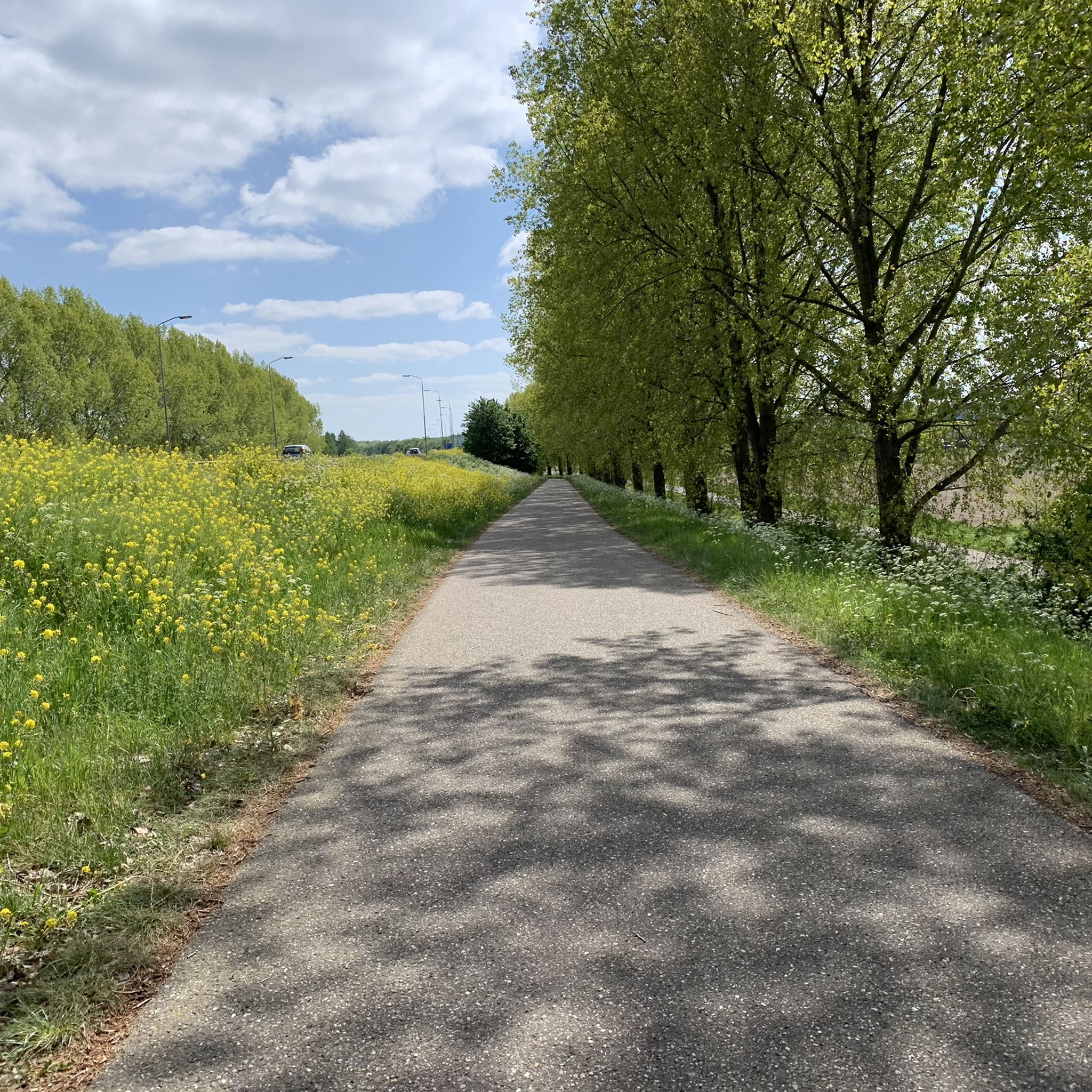
Road Cycling Routes around the Maas
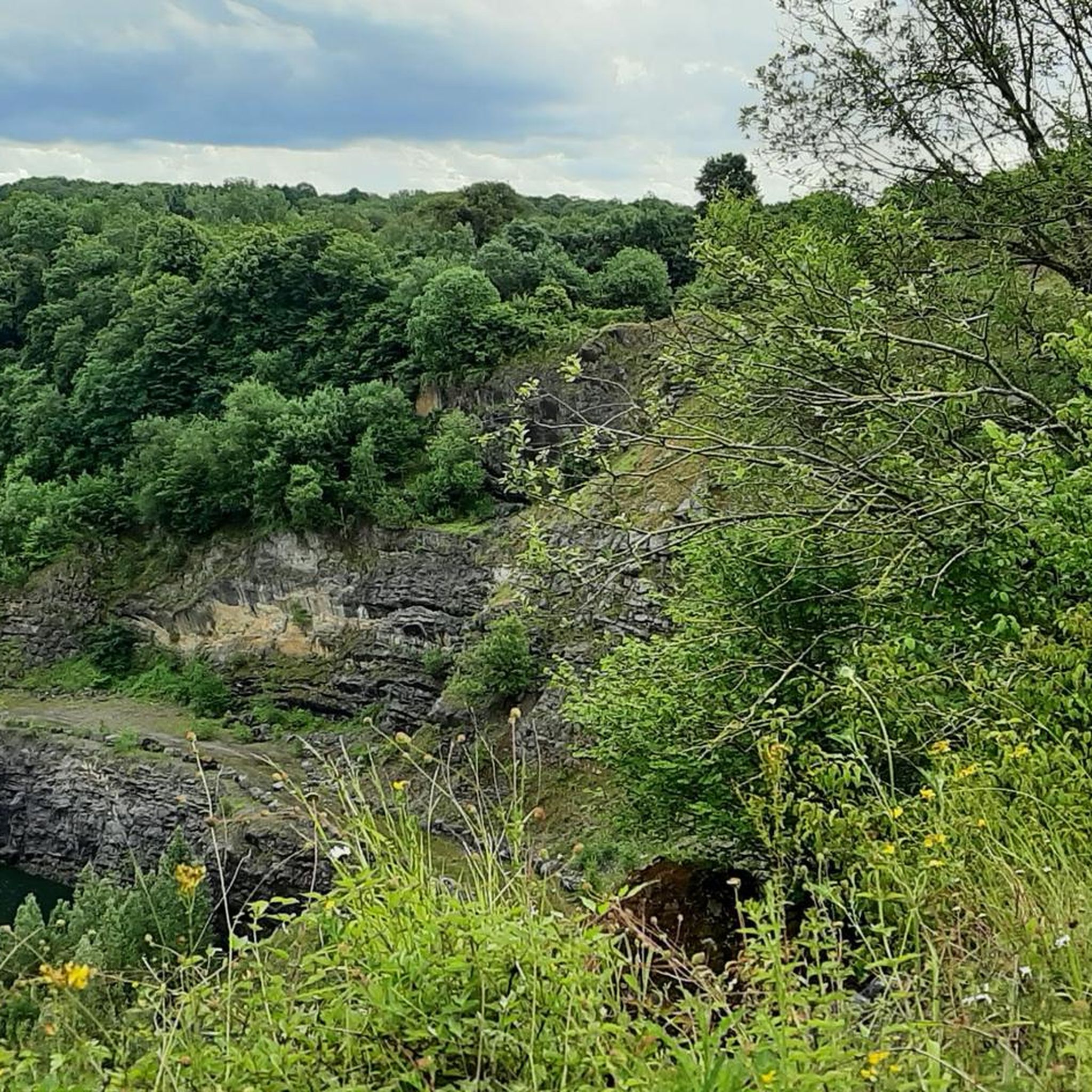
Road Cycling Routes around Dinant
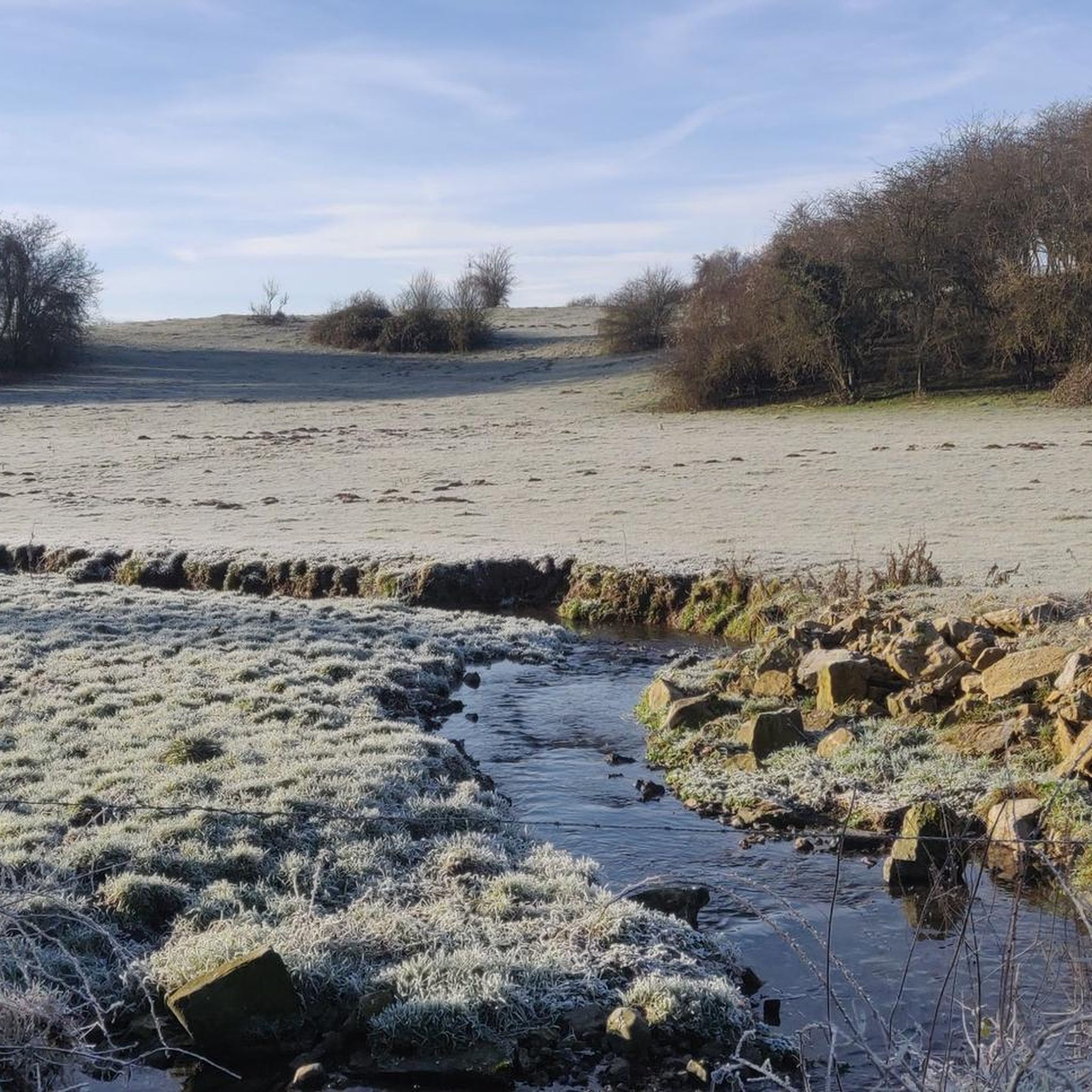
Road Cycling Routes around Philippeville
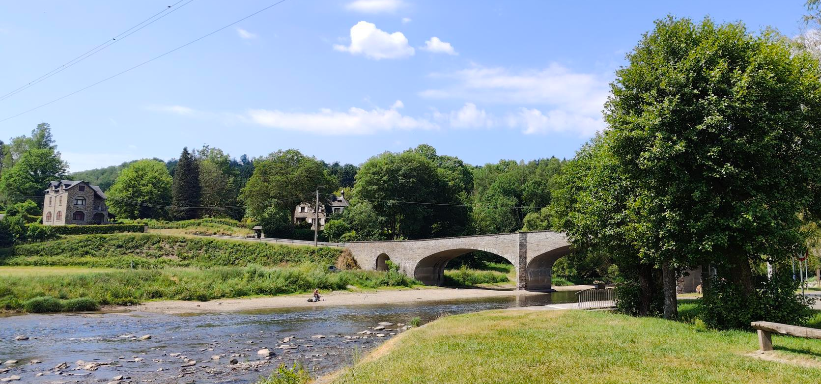
Memory and cycling remembrance duty - La Route du Maquis
Belgium’s hardest ultra cycling race – the Ardennes Monster
The Conquest of the Ardennes — a bike adventure to remember
EuroVelo 3 — The adventure in the heart of Belgium
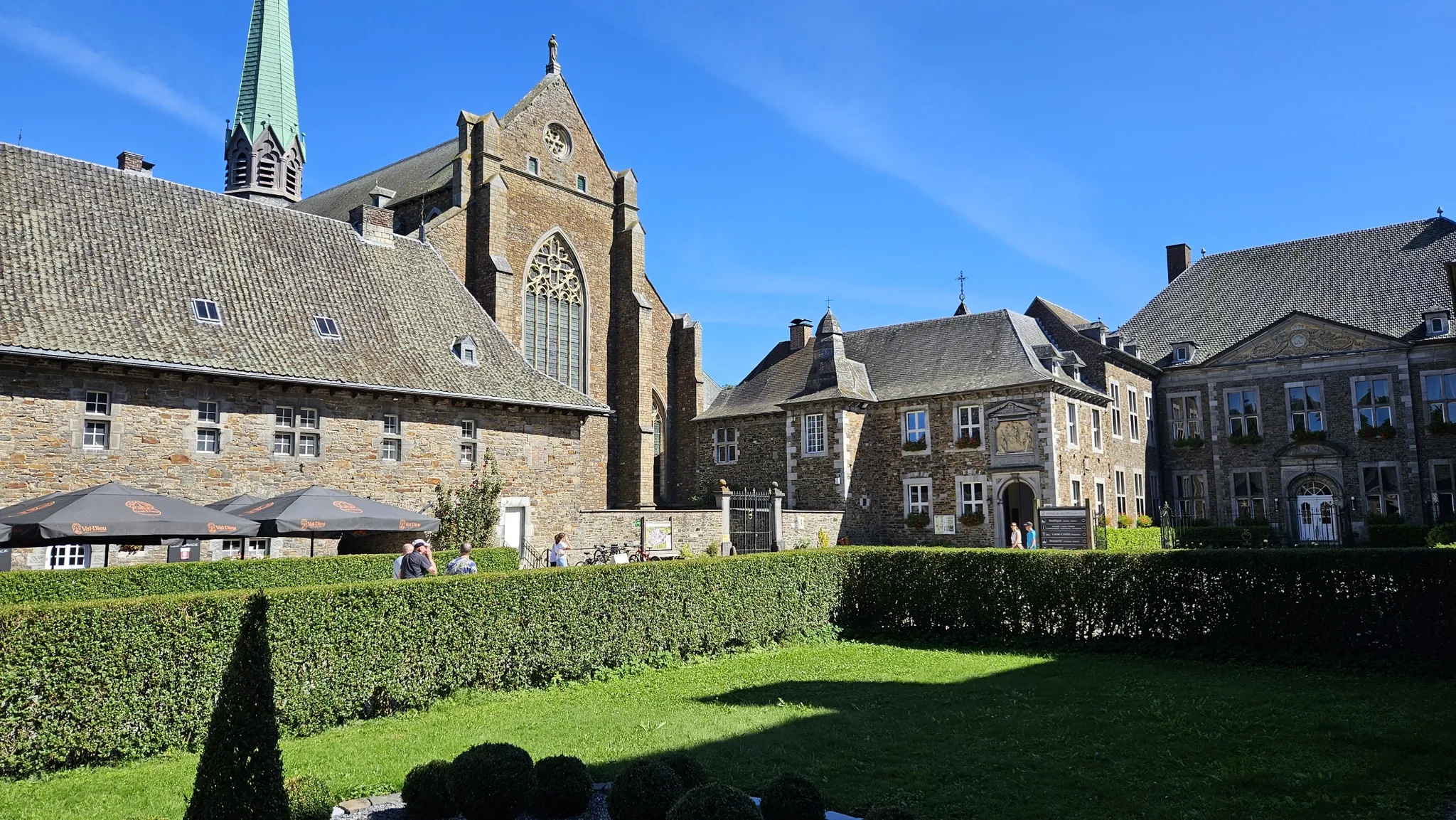
Sentier des abbayes trappistes part 1 – Between nature and gastronomy
Trappist abbeys cycle route – Between beers and heritage
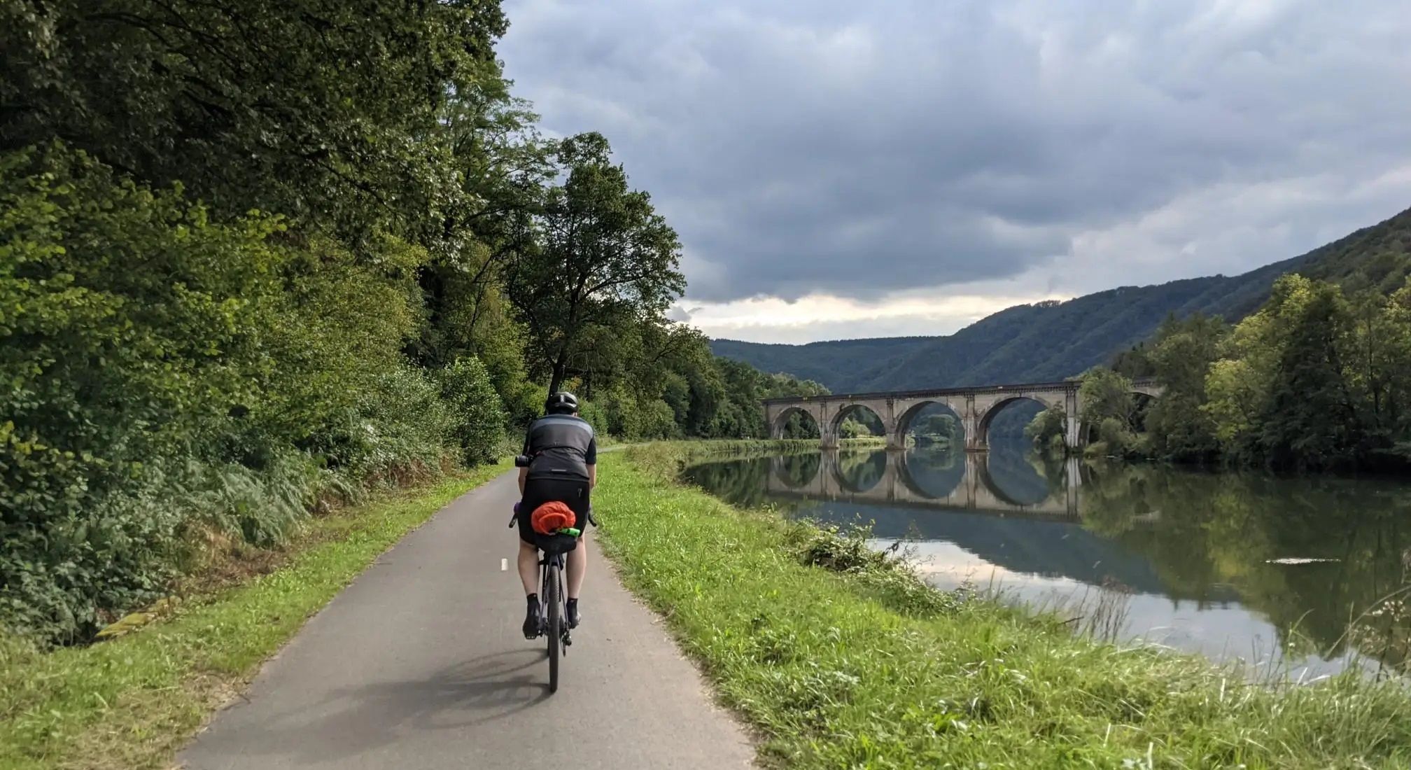
Aachen to Reims – Ardennes, Meuse and Champagne
Other adventures in Namur


Tips from the Community

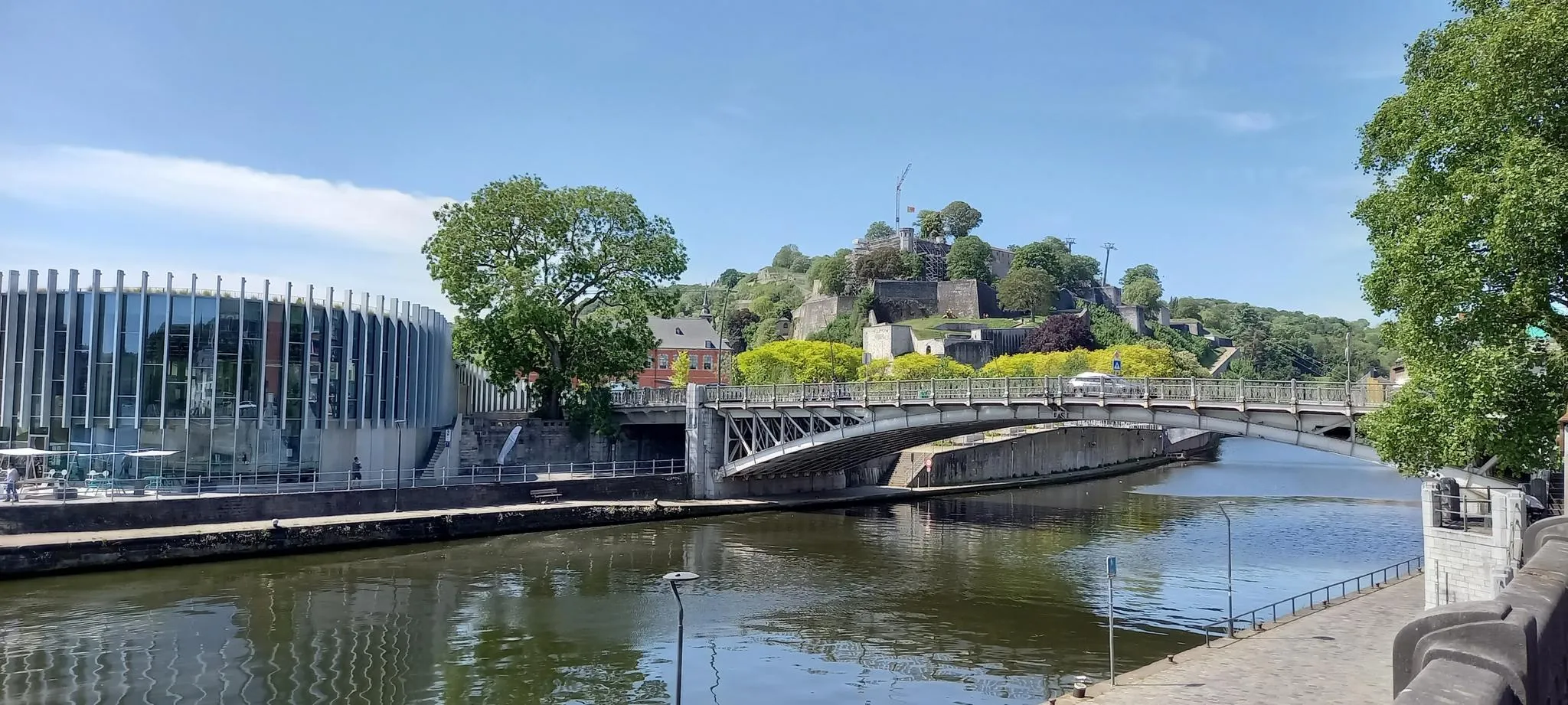
A mandatory passage. The RAVeL Meuse passes through here.
0
0

Very nice cyclist café where the coffee is excellent, just like the homemade focaccia prepared with a lot of love and know-how by Bastien! A little taste of vacation right in the heart of the Walloon capital 🤩☕️
0
0

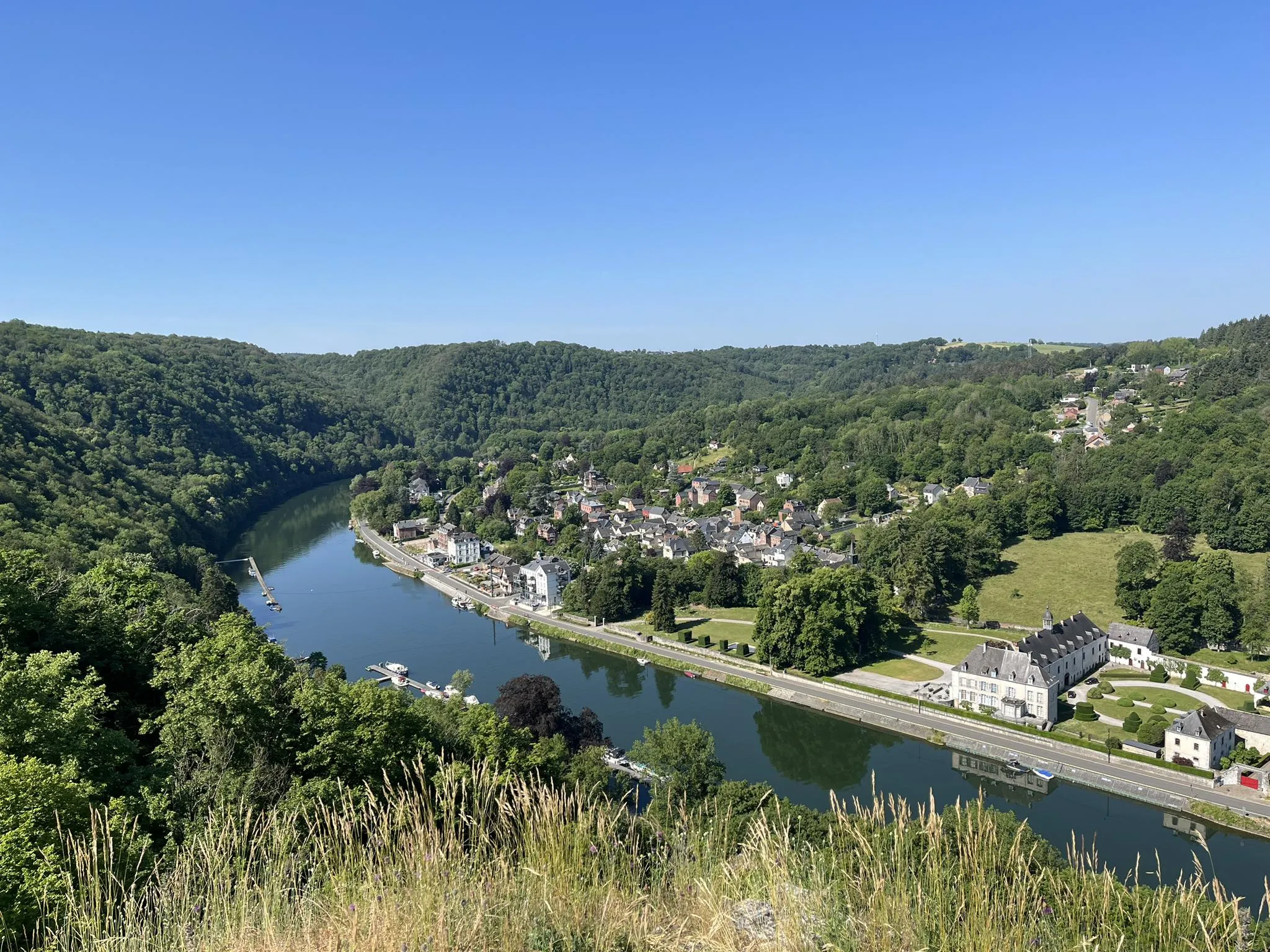
Beautiful view of the Maas...
3
0

Definitely take the tour of the tunnel system. Available in French, English or Dutch
0
0

Very pleasant to clear your head.
0
0


Frequently Asked Questions
How many road cycling routes are available in Namur?
Namur offers a vast network for road cyclists, with over 3,200 routes available on komoot. These routes cater to various preferences, from leisurely rides to challenging climbs.
What kind of terrain can I expect when road cycling in Namur?
The Namur region features diverse terrain, including scenic river valleys along the Meuse, Molignée, and Sambre, as well as the low hills of the Condroz and the more rugged Southern Ardennes. You'll find a mix of well-paved surfaces and routes with significant elevation gains, offering variety for all fitness levels.
Are there routes suitable for beginners or those looking for an easy ride?
Yes, Namur has routes suitable for beginners. For example, the Boucle de L'Homme de Spy - Jemeppe par monts et par vaux is an easy 26.5 km route with moderate elevation, perfect for a relaxed ride.
Are there challenging road cycling routes for experienced riders in Namur?
Absolutely. Experienced riders can find demanding routes with significant elevation. The Vresse loop - Semois Valley National Park, for instance, is a difficult 57.3 km path with over 1,000 meters of elevation gain through the rugged Semois Valley. Another challenging option is the Tour de Namur Cyclo Longue Version, a 137.8 km route with nearly 1,900 meters of climbing.
What natural features or scenic viewpoints can I discover along the routes?
Road cycling routes in Namur often pass by impressive natural features. You can encounter stunning river views, especially along the Meuse and Sambre, and dramatic cliffs and rock formations like the Rocher Bayard. Many routes also traverse forests and offer panoramic viewpoints over the hilly landscape.
Can I combine my road cycling trip with visits to historical sites or charming villages?
Yes, many routes in Namur allow you to explore historical sites and picturesque villages. You might cycle past landmarks such as the Citadel of Namur or the ruins of Montaigle Castle. The region is also home to charming villages like Falaën Village, perfect for a stop.
Are there road cycling routes in Namur that are family-friendly?
Many routes in Namur are suitable for families, especially those utilizing the RAVeL network, which converts old railway lines into smooth, relatively flat paths. These paths are ideal for relaxed rides away from traffic, offering a safe and enjoyable experience for all ages.
Are there circular road cycling routes available in Namur?
Yes, Namur offers numerous circular routes. For example, the Boucles des Trois RAVeLs is a popular 90.3 km loop through the Meuse, Molignée, and Sambre Valleys. Another option is the La grande boucle des lacs de l'Eau d'Heure, a 33.9 km moderate loop.
What is the best time of year for road cycling in Namur?
The best time for road cycling in Namur is generally from spring to early autumn. During these seasons, the weather is most favorable, with pleasant temperatures and less rainfall, making for ideal conditions to explore the diverse landscapes.
How can I access road cycling routes in Namur using public transport?
Namur is well-connected by public transport, particularly trains, which can take you to the city center and other towns within the province. Many routes are accessible from train stations, allowing you to start your ride directly upon arrival. It's advisable to check local public transport regulations regarding bicycle carriage.
Are there routes that offer amenities like cafes or places to stop for refreshments?
Yes, many road cycling routes in Namur pass through or near charming villages and towns where you can find cafes, restaurants, and other amenities. Routes following river valleys or connecting historical sites often have convenient stopping points for refreshments and breaks.
What do other road cyclists enjoy most about the routes in Namur?
The road cycling routes in Namur are highly rated by the komoot community, with an average score of 4.4 stars from over 1,400 reviews. Cyclists often praise the region's diverse landscapes, the well-maintained RAVeL network, and the opportunity to combine rides with visits to historical sites and natural attractions.
Can I find routes that utilize the RAVeL network in Namur?
Yes, the RAVeL network is a significant feature of road cycling in Namur. Many routes incorporate sections of these paths, which are converted old railway lines, offering smooth, traffic-free cycling through picturesque scenery. The Boucles des Trois RAVeLs is a prime example, winding through three different river valleys on these dedicated paths.
Most popular routes in Namur
Most popular attractions in Namur

Get inspired with the komoot mobile app


Didn’t find what you were looking for?
Check out more Road cycling routes throughout Namur below and find the perfect route in your destination.
Explore more
Browse the best Road cycling routes in other regions.
