The best road cycling routes around Neukirchen
4.3
(208)
2,801
riders
23
rides
Road cycling routes around Neukirchen are set within the Alpine landscapes of the Hohe Tauern National Park, offering diverse terrain for cyclists. The region features well-paved cycle paths and quiet village roads, with views of mountains such as the Großvenediger. Cyclists can navigate through valleys like the Krimmltal and Gerlostal, experiencing varied elevation profiles. This area provides a network of routes suitable for different road cycling preferences.
Best road cycling routes around Neukirchen
- The most popular road cycling route is…
Last updated: June 24, 2026
22
riders
36.0km
01:38
290m
290m
Moderate road ride. Great for any fitness level. Some segments of this route may be unpaved and difficult to ride.
4.0
(2)
17
riders
Moderate road ride. Good fitness required. Some segments of this route may be unpaved and difficult to ride.

Sign up for free
5.0
(1)
22
riders
56.8km
02:13
190m
190m
Moderate road ride. Good fitness required. Mostly well-paved surfaces and easy to ride.
19
riders
27.2km
01:11
160m
160m
Moderate road ride. Great for any fitness level. Some segments of this route may be unpaved and difficult to ride.
10
riders
53.0km
02:19
460m
460m
Moderate road ride. Good fitness required. Mostly well-paved surfaces and easy to ride.
Get access to more routes and recommendations from other explorers.
Sign up for free
Already have an account?
Our route recommendations are based on thousands of hikes, rides, and runs completed by other people on komoot.
Start today with a free account
Your next adventure awaits.
Login or Signup
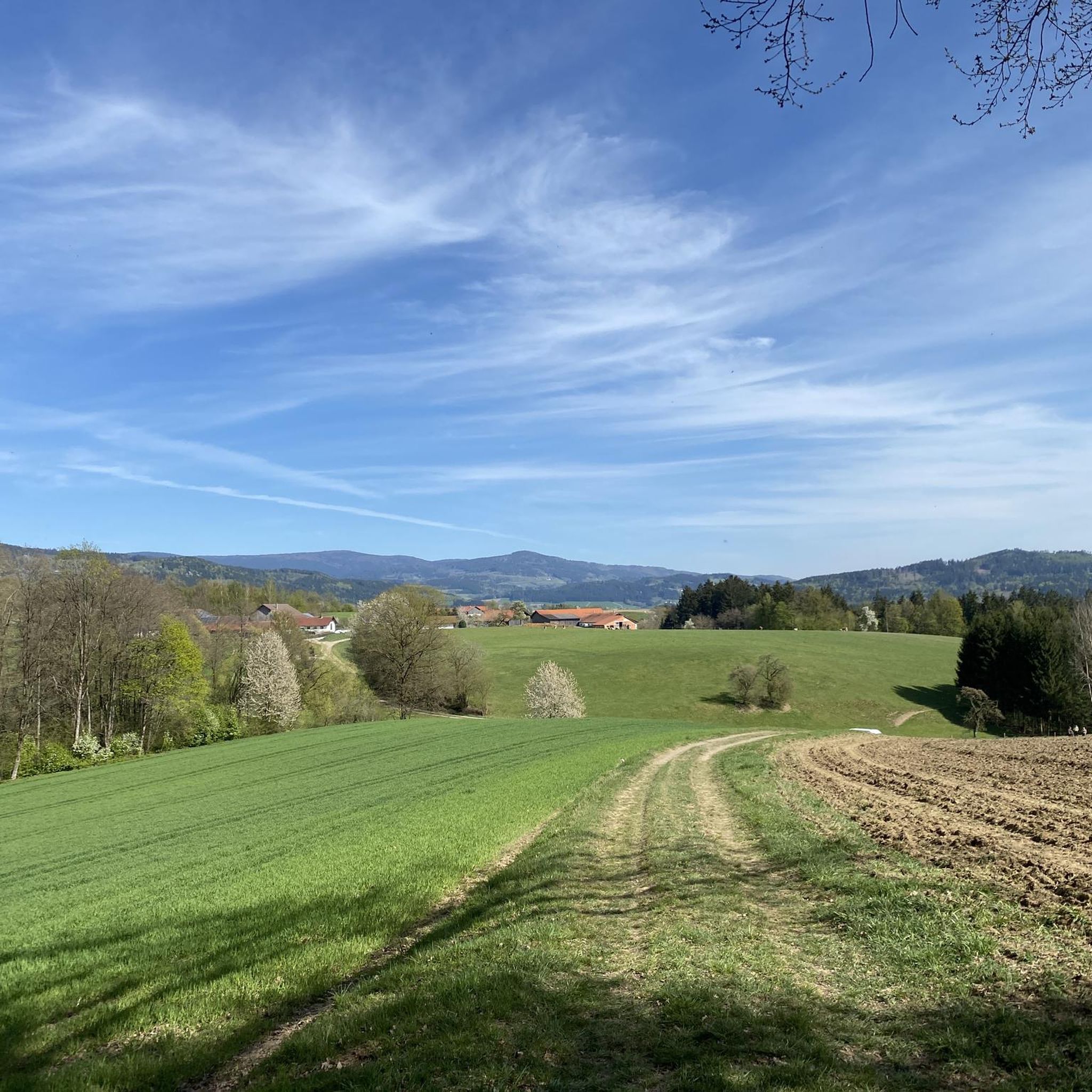
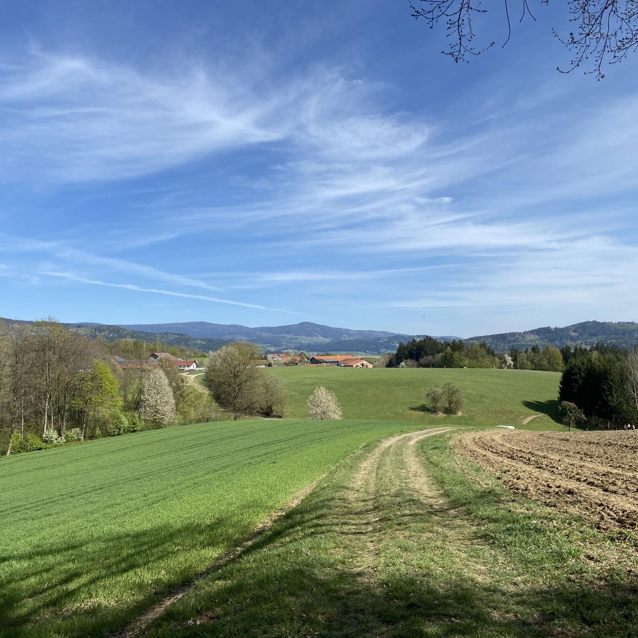
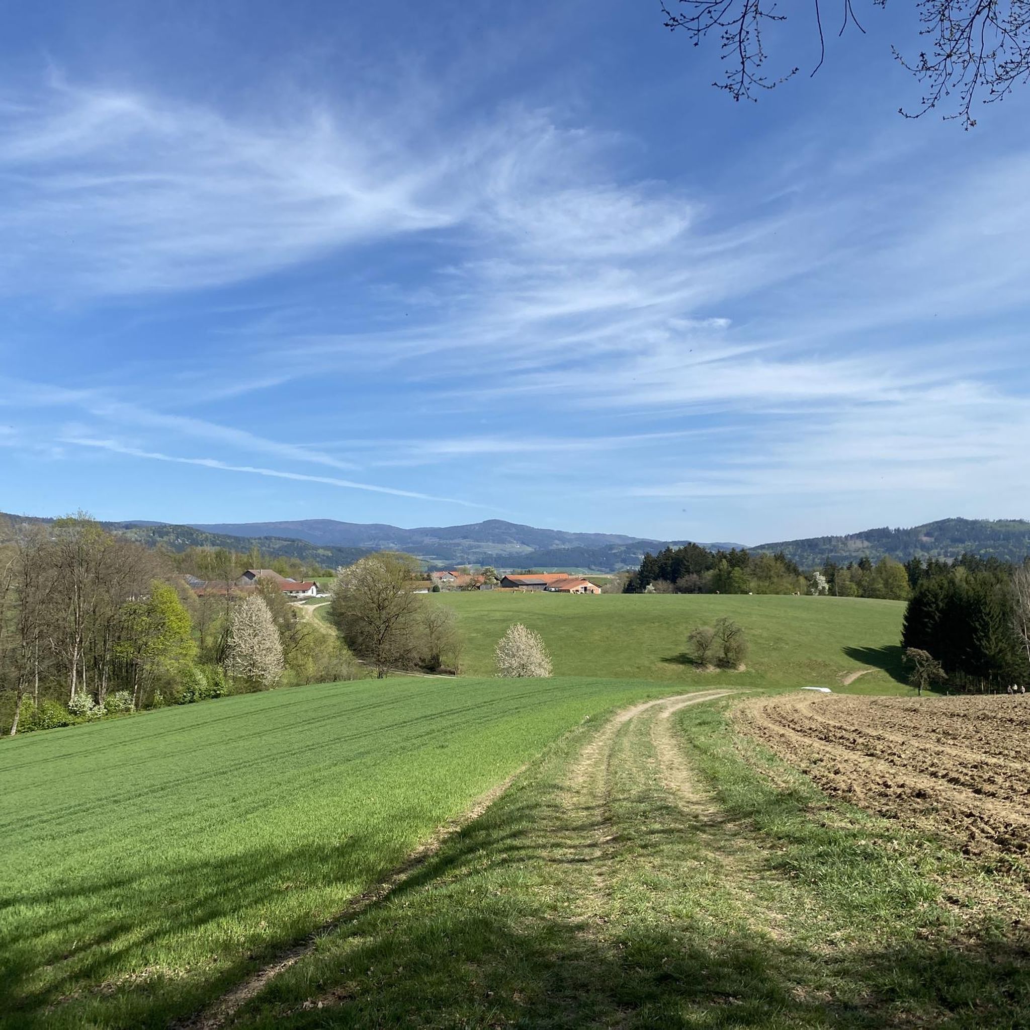

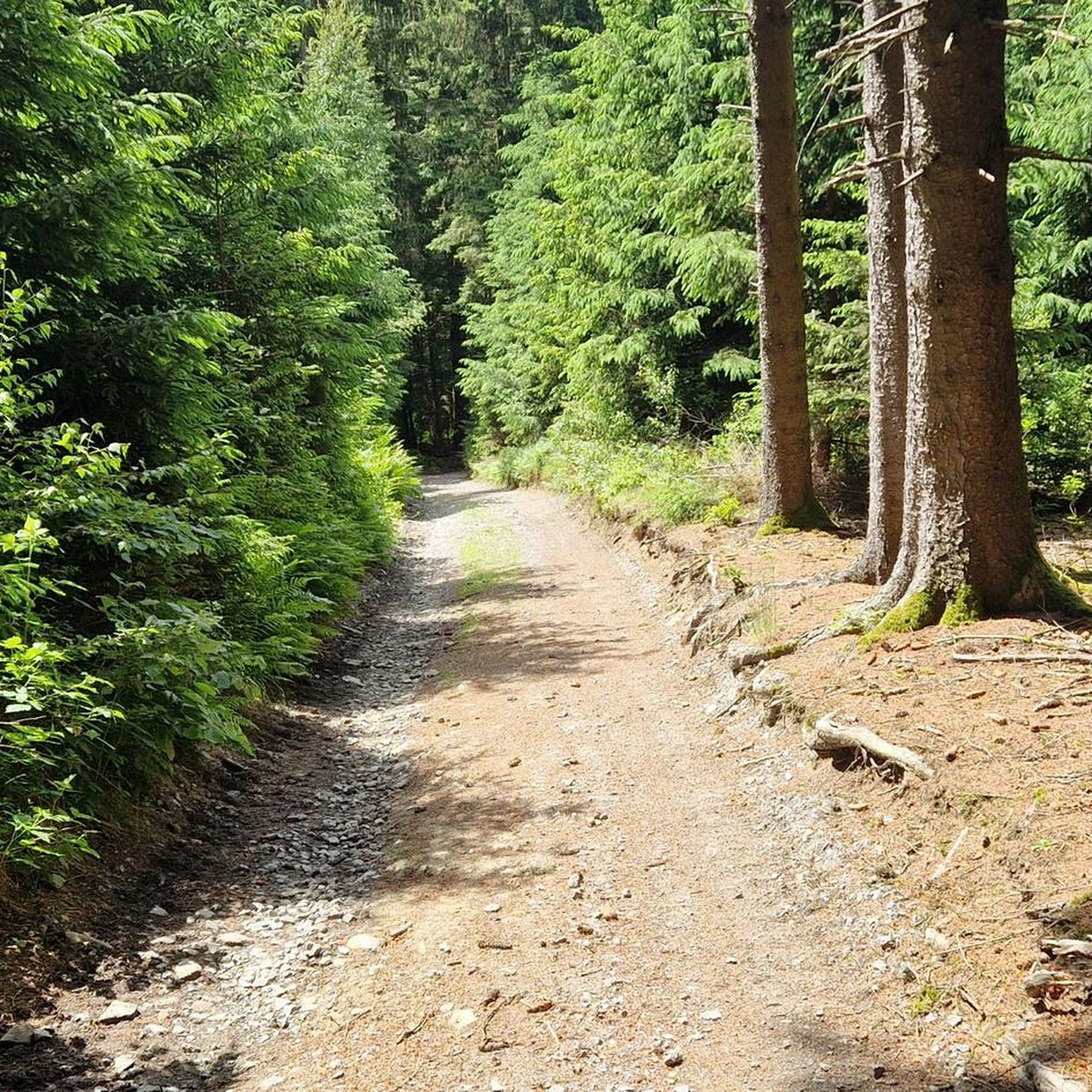
Tips from the Community

gives some nice spots on the Danube to linger
0
0

The Bogenberg, often called the „Holy Mountain of Lower Bavaria“, is much more than just an elevation on the Danube. It is a historically significant pilgrimage site, an important natural monument, and the „cradle“ of one of the most famous Bavarian symbols. After the family line died out in 1242, their possessions and coat of arms passed to the Wittelsbachs. Thus, the lozenge coat of arms of Bogen became the Bavarian state symbol. You can learn more at the Kreismuseum Bogenberg, which is located directly on the mountain.
0
0

our village should become more beautiful ;-)
0
0

Village square in Perasdorf, beautifully maintained and perfect for a short break.
0
0

view of the river
4
0
Very nice bike path
4
0

Here you cross the Danube on the Danube Cycle Path.
4
0
Frequently Asked Questions
What kind of terrain and difficulty can I expect on road cycling routes around Neukirchen?
Road cycling routes around Neukirchen offer diverse terrain, from well-paved cycle paths and quiet village roads to challenging mountain stages. You'll find routes with moderate climbs and scenic views, as well as more demanding ascents through valleys like the Krimmltal and Gerlostal. The region is nestled in the Alpine landscapes of the Hohe Tauern National Park, providing varied elevation profiles.
Are there challenging road cycling routes for experienced cyclists in Neukirchen?
Yes, for experienced cyclists seeking a significant challenge, Neukirchen serves as an ideal base for tackling the legendary Großglockner High Alpine Road, renowned for its demanding climbs and glorious glacier views. Additionally, there are 2 difficult routes available in the area, offering substantial elevation gain and testing endurance.
What natural features and landmarks can I see while road cycling in Neukirchen?
The region is rich in natural beauty. You can cycle with views of the majestic Großvenediger, the tallest peak in Salzburg, and explore the stunning Hohe Tauern National Park. Notable natural attractions include the spectacular Krimml Waterfalls, Europe's largest, and the impressive Untersulzbach Waterfall. You might also encounter viewpoints like Pröller summit cross and Käsplatte Summit along various routes.
Are there any family-friendly road cycling options in Neukirchen?
While there are no routes specifically classified as 'easy' in our guide, many of the 22 moderate routes feature well-paved cycle paths and quiet village roads, making them suitable for families with some cycling experience. The Tauern Cycle Path, which begins nearby in Krimml, offers varied trails that can be enjoyed by both beginners and experienced road cyclists, often along the Salzach River.
What is the best time of year for road cycling in Neukirchen?
The best time for road cycling in Neukirchen is generally from spring through autumn. During these seasons, the weather is most favorable, and the mountain passes are typically clear of snow, allowing access to the full range of routes, including higher alpine roads. Winter conditions can make road cycling challenging or impossible on many routes due to snow and ice.
Are there circular road cycling routes available in Neukirchen?
Yes, many of the road cycling routes in Neukirchen are designed as loops, allowing you to start and end at the same point. For example, the popular Roadbike loop from Obermühlbach is a 22.4-mile route offering moderate climbs and scenic views. Another option is the Roadbike loop from Neukirchen, which covers 27.2 miles.
What do other road cyclists enjoy most about road cycling in Neukirchen?
The area is highly rated by the komoot community, with an average score of 3.9 stars from over 10 reviews. Reviewers often praise the stunning Alpine landscapes, the magnificent mountain views, and the diverse terrain that caters to various skill levels. Many appreciate the well-paved cycle paths and the opportunity to explore the Hohe Tauern National Park region.
Can I find cafes or pubs along the road cycling routes in Neukirchen?
Yes, the Pinzgau region, where Neukirchen is located, is well-equipped with amenities. Many villages and towns along the routes offer cafes and pubs where you can stop for refreshments. While specific establishments are not listed in route details, you'll generally find options in the communities you pass through, especially in popular areas like the Wildkogel Arena.
Are there options for parking when starting a road cycling route in Neukirchen?
Neukirchen and the surrounding villages typically offer various parking facilities, often near trailheads or in town centers. While specific parking locations are not detailed for each route, you can generally find public parking areas that are convenient for starting your cycling tour. It's advisable to check local signage for any parking fees or restrictions.
How can I reach the road cycling routes in Neukirchen using public transport?
The region around Neukirchen is generally accessible by public transport, which can help you reach starting points for various routes. Local bus services often connect Neukirchen with surrounding towns and villages. For longer distances, train services might connect to larger hubs in the Pinzgau region, from where local transport can be utilized. It's recommended to check local bus and train schedules for specific connections to your desired starting point.
Are there any routes that pass by the Danube River?
Yes, one notable route that leads through river valleys is the Oberalteich Church – Danube River loop from Neukirchen. This 35.2-mile trail offers a scenic ride, often completed in about 2 hours 12 minutes, providing a different landscape experience compared to the higher alpine routes.
What is the elevation gain like on road cycling routes in Neukirchen?
The elevation gain varies significantly across routes. For instance, the Roadbike loop from Obermühlbach has a moderate elevation gain of approximately 288 meters. More challenging routes, especially those venturing into the valleys or towards the Großglockner High Alpine Road, will feature considerably higher elevation gains, testing your climbing abilities.
Most popular routes around Neukirchen
Most popular attractions around Neukirchen

Get inspired with the komoot mobile app


Explore more
Browse the best Road cycling routes in other regions.
