The best walks and hikes around Mutterschied
4.5
(3490)
12,161
hikers
854
hikes
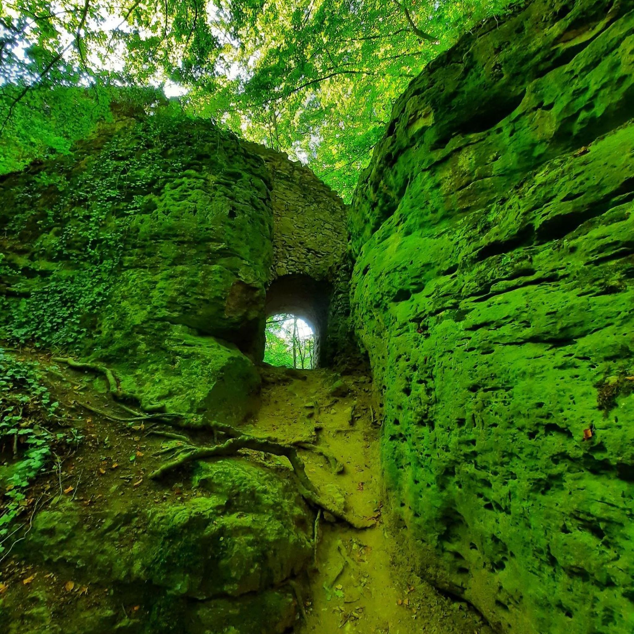
Hiking around Mutterschied offers routes through the green forests and rolling hills of the Rhein-Hunsrück-Kreis. The region features idyllic valleys and natural water bodies like Simmer Lake and Waldsee Argenthal. Trails often traverse lush meadows and shaded woodlands, providing varied terrain for outdoor activities. This landscape is characterized by its undulating topography and extensive tree cover.
Best hiking trails around Mutterschied
- The most popular hiking route is Shelter by the Simmersee – Wayside cross at the Simmersee loop from Altweidelbach…
Last updated: October 4, 2026
4.7
(46)
151
hikers
12.6km
03:23
150m
150m
Moderate hike. Good fitness required. Easily-accessible paths. Suitable for all skill levels.
5.0
(18)
40
hikers
Easy hike. Great for any fitness level. Easily-accessible paths. Suitable for all skill levels.

4.7
(23)
35
hikers
9.41km
02:35
150m
150m
Moderate hike. Good fitness required. Easily-accessible paths. Suitable for all skill levels.
5.0
(3)
10
hikers
Easy hike. Great for any fitness level. Easily-accessible paths. Suitable for all skill levels.
3.0
(1)
10
hikers
5.14km
01:23
60m
60m
Easy hike. Great for any fitness level. Easily-accessible paths. Suitable for all skill levels.
Get access to more routes and recommendations from other explorers.
Already have an account?
Our route recommendations are based on thousands of hikes, rides, and runs completed by other people on komoot.
Start today with a free account
Your next adventure awaits.
Tips from the Community

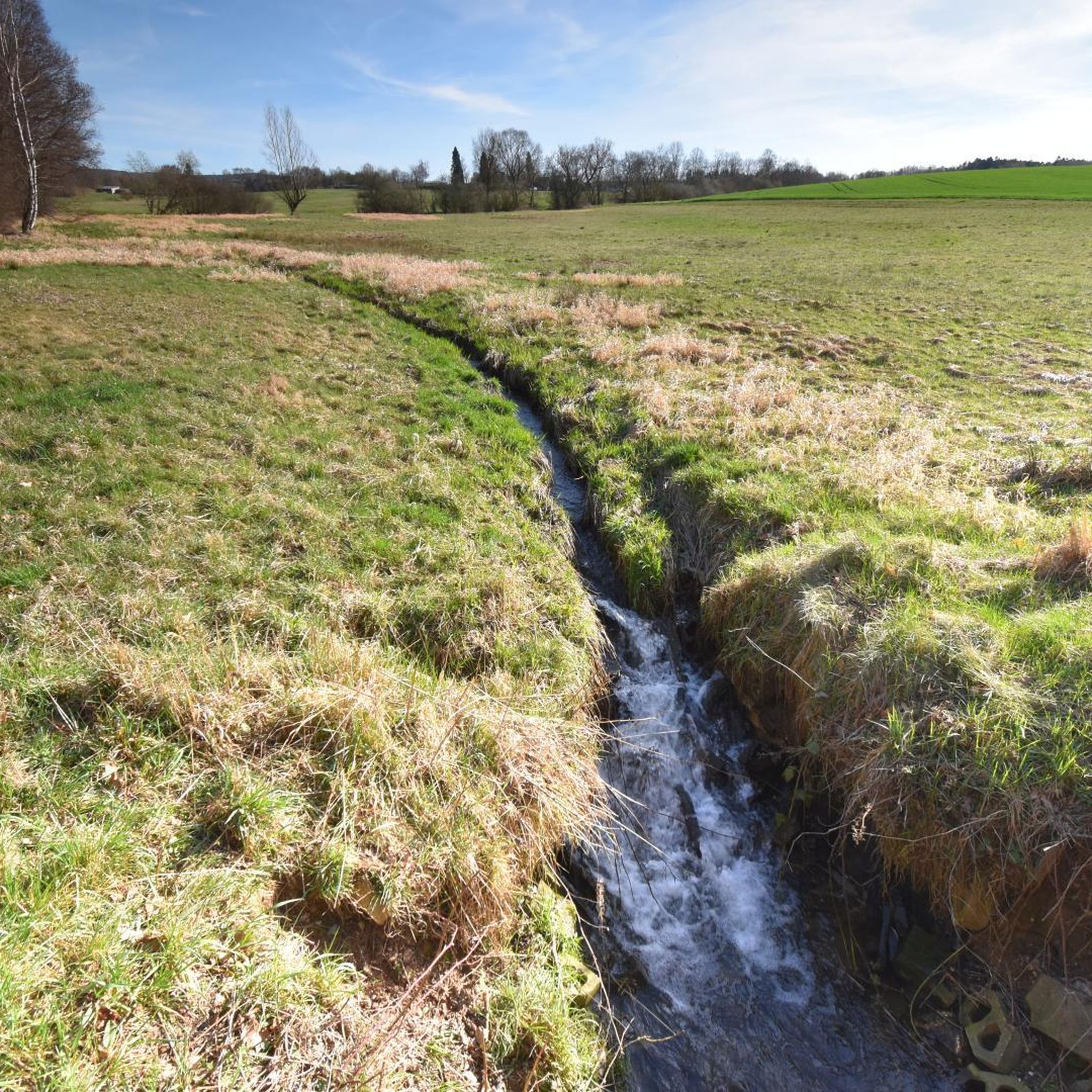
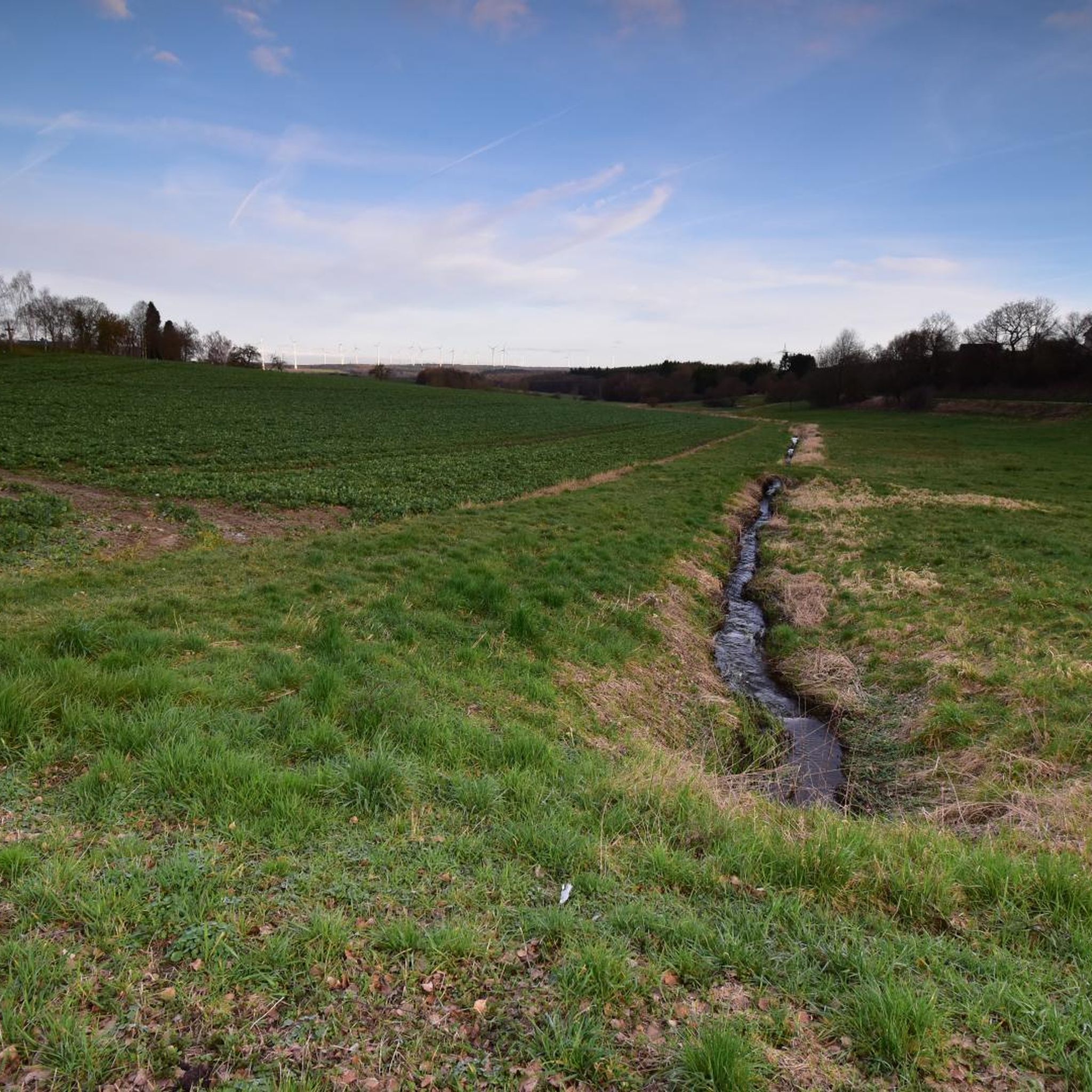
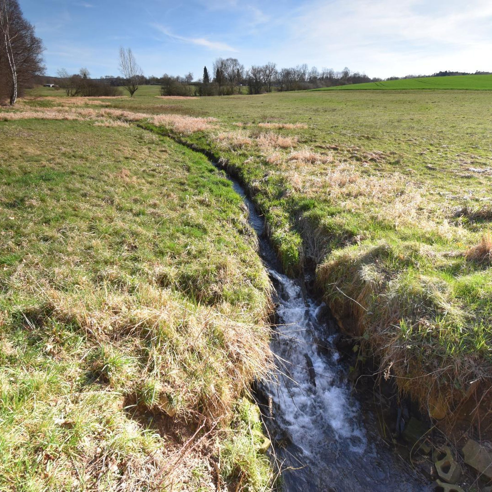
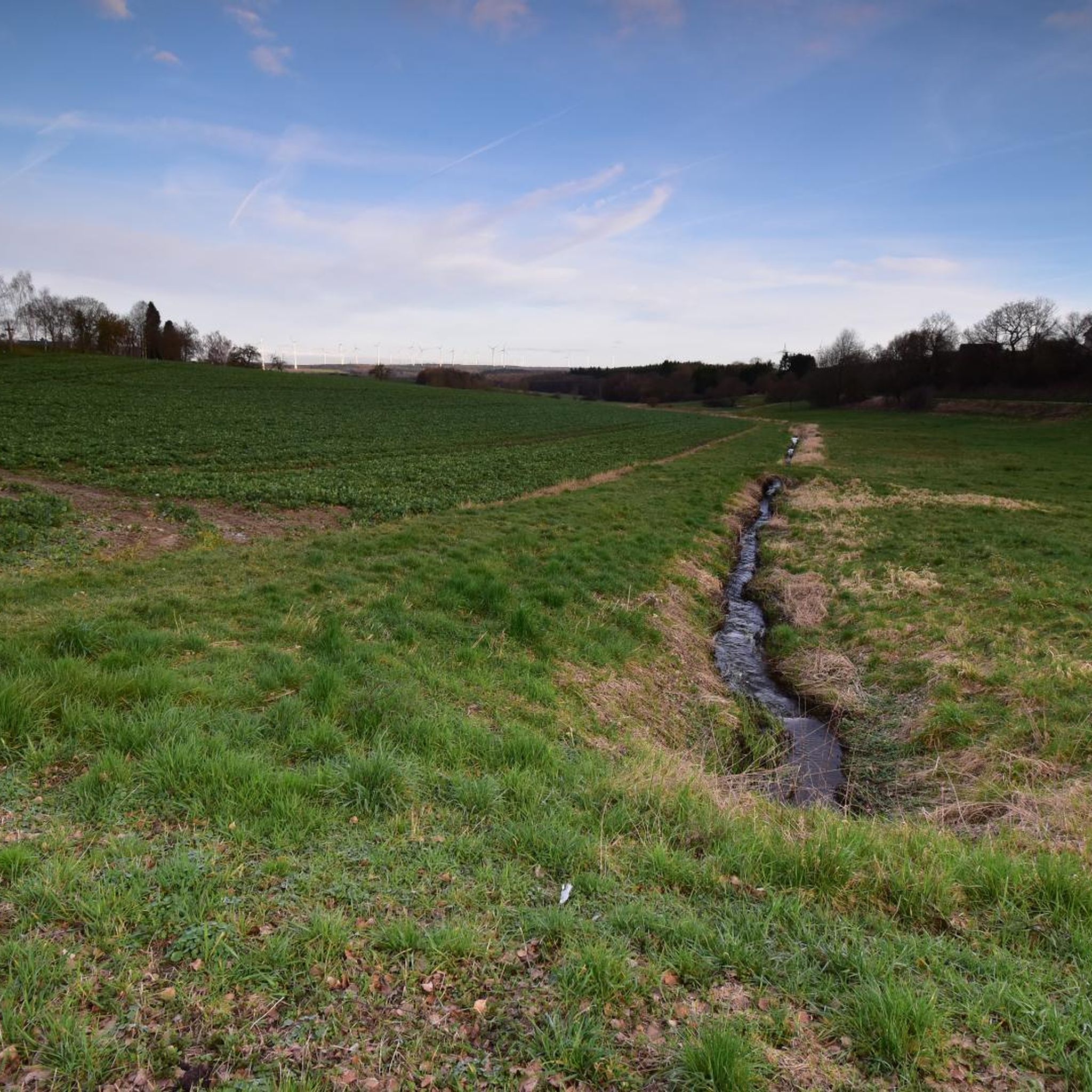
Between Simmern and Altweidelbach, the local circular trail "Bachwanderweg" leads for a good kilometer through the tranquil Rinkenbach valley.
0
0
The Pferdsrück is a micro-ridge in the Hunsrück that separates the Rinkenbach valley from the Simmerbach valley. As the forest is a protected forest, you should not enter the Buckelchen due to the risk of falling branches and trees.
0
0
The inn will be closed on 31/10/2026.
0
0


Here, two dwarves greet you at the entrance to the Schanzerkopf Dream Loop. An overview map provides information about the hike and the surrounding area.
1
0

You are not alone 👍
0
0


from the 18th century, successor building to a chapel from the 14th century.
0
0
Frequently Asked Questions
How many hiking trails are available around Mutterschied?
Mutterschied and its surroundings offer a wide variety of hiking experiences, with over 860 routes recorded on komoot. These range from easy strolls to more challenging treks through the region's green forests and rolling hills.
Are there easy hiking trails suitable for beginners or families in Mutterschied?
Yes, Mutterschied has numerous easy trails perfect for beginners or families. For instance, the Shelter by the Simmersee – Wayside cross at the Simmersee loop from Altweidelbach is an easy 3.4-mile (5.5 km) loop around the Simmersee, offering pleasant lakeside views. There are over 470 easy routes in the area.
What kind of terrain can I expect on hikes around Mutterschied?
The terrain around Mutterschied is characterized by green forests and rolling hills, with trails often leading through idyllic valleys and lush meadows. You'll find a mix of shaded woodlands and open paths, providing varied landscapes for your hike. Some routes, like the View of Argenthal Quarry – Charcoal Burner's Hut on the Kohlweg loop from Argenthal, can include more challenging forest paths and elevation changes.
Are there any circular hiking routes in the Mutterschied area?
Yes, many of the hiking trails around Mutterschied are circular, allowing you to start and end at the same point. An example is the Rest Area at the Path Fork – Bee House Made of Tree Trunks loop from Argenthal, a 5.8-mile (9.3 km) trail through forested areas.
What natural features or landmarks can I see while hiking near Mutterschied?
The region is rich in natural beauty and historical sites. You can explore natural water bodies like Waldsee Argenthal and Simmer Lake, or visit the tranquil Water Lily Pond. Historically, parts of the ancient Ausoniusweg, a Roman road, and the Hunsrück Way of St. James pass through the area. Nearby, you might also encounter historical structures like Gemünden Castle.
What is the best time of year to go hiking in Mutterschied?
Mutterschied is particularly enjoyable for hiking during spring and summer. These seasons offer pleasant weather for exploring the green forests, rolling hills, and idyllic valleys, making for a comfortable and scenic outdoor experience.
Are there dog-friendly hiking trails around Mutterschied?
Many trails in the Mutterschied region are suitable for hiking with dogs, especially those through the expansive green forests and open meadows. It's always a good idea to keep your dog on a leash, especially near wildlife or livestock, and to check local regulations for specific routes.
What do other hikers say about the trails in Mutterschied?
The hiking routes in Mutterschied are highly rated by the komoot community, with an average score of 4.5 stars from over 3000 reviews. Hikers often praise the varied terrain, the beauty of the green forests and idyllic valleys, and the well-maintained paths that cater to different ability levels.
Are there any hikes that offer viewpoints or scenic vistas?
Yes, the rolling hills and varied topography of Mutterschied mean that many trails offer scenic viewpoints. Hikes often culminate in breathtaking views of the surrounding nature, particularly from higher elevations within the forests and along ridge lines.
Can I reach hiking trailheads in Mutterschied using public transport?
While Mutterschied is nestled in a rural area, some trailheads may be accessible via local bus services. It's advisable to check regional public transport schedules and routes in advance to plan your journey to specific starting points.
Are there parking facilities available near the hiking trails?
Yes, many popular hiking areas and trailheads around Mutterschied, especially near lakes like Simmersee and Waldsee Argenthal, offer designated parking facilities. It's recommended to check specific route descriptions for details on parking availability at the starting points.
Most popular routes around Mutterschied
Most popular attractions around Mutterschied

Get inspired with the komoot mobile app


Explore more
Browse the best Hikes in other regions.
