The best walks and hikes around Mutten
4.6
(248)
1,680
hikers
12
hikes
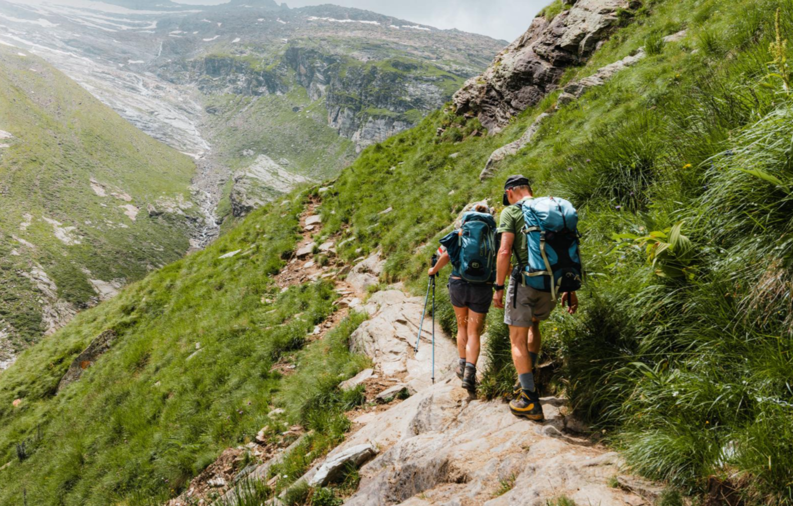
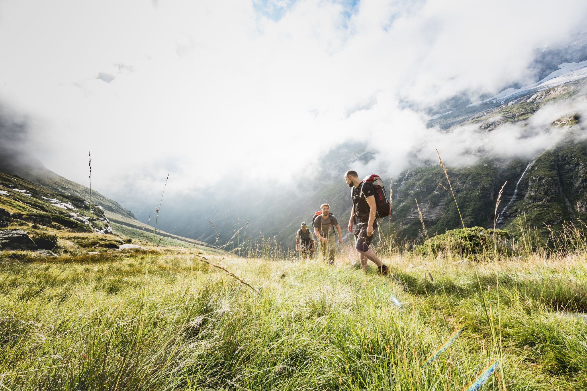
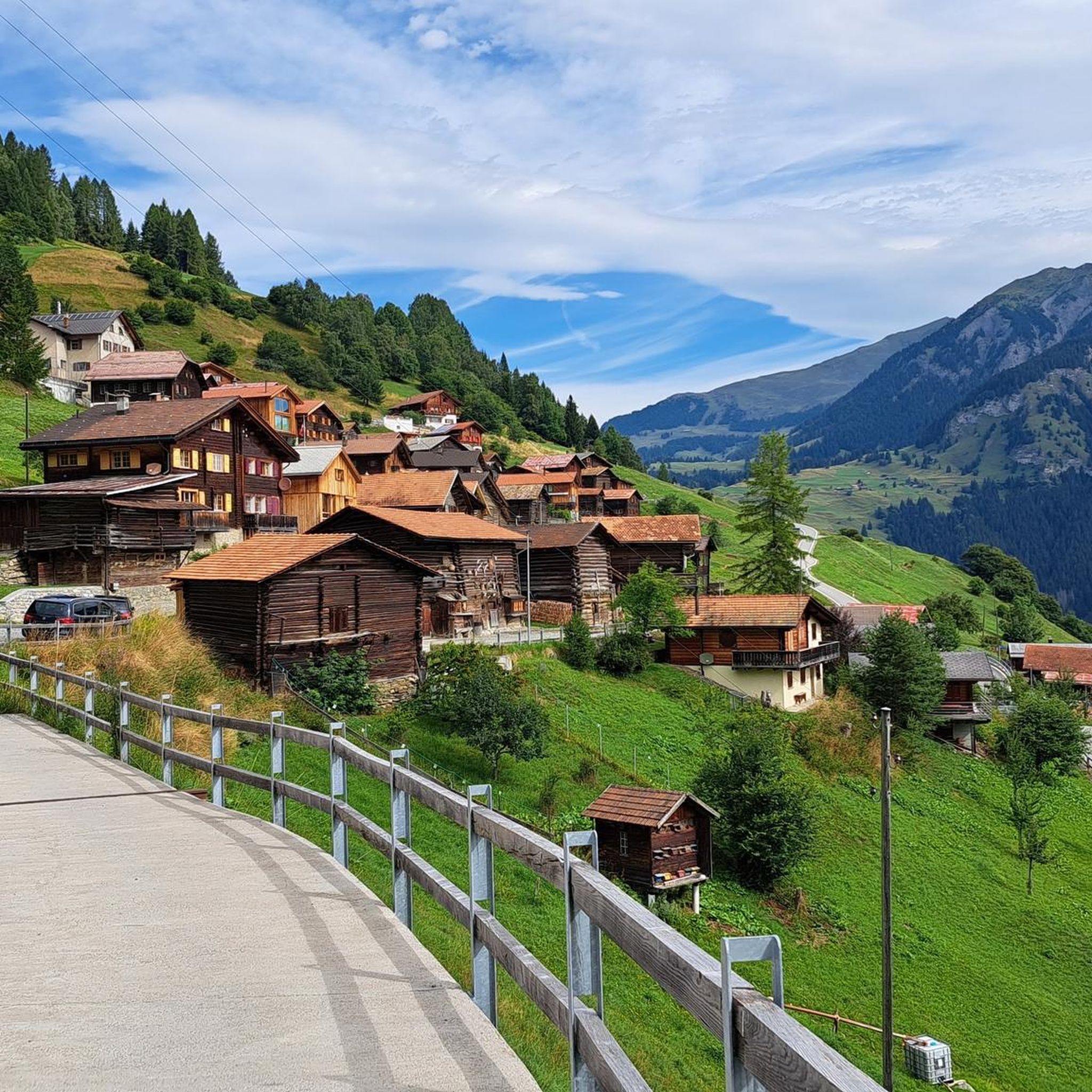
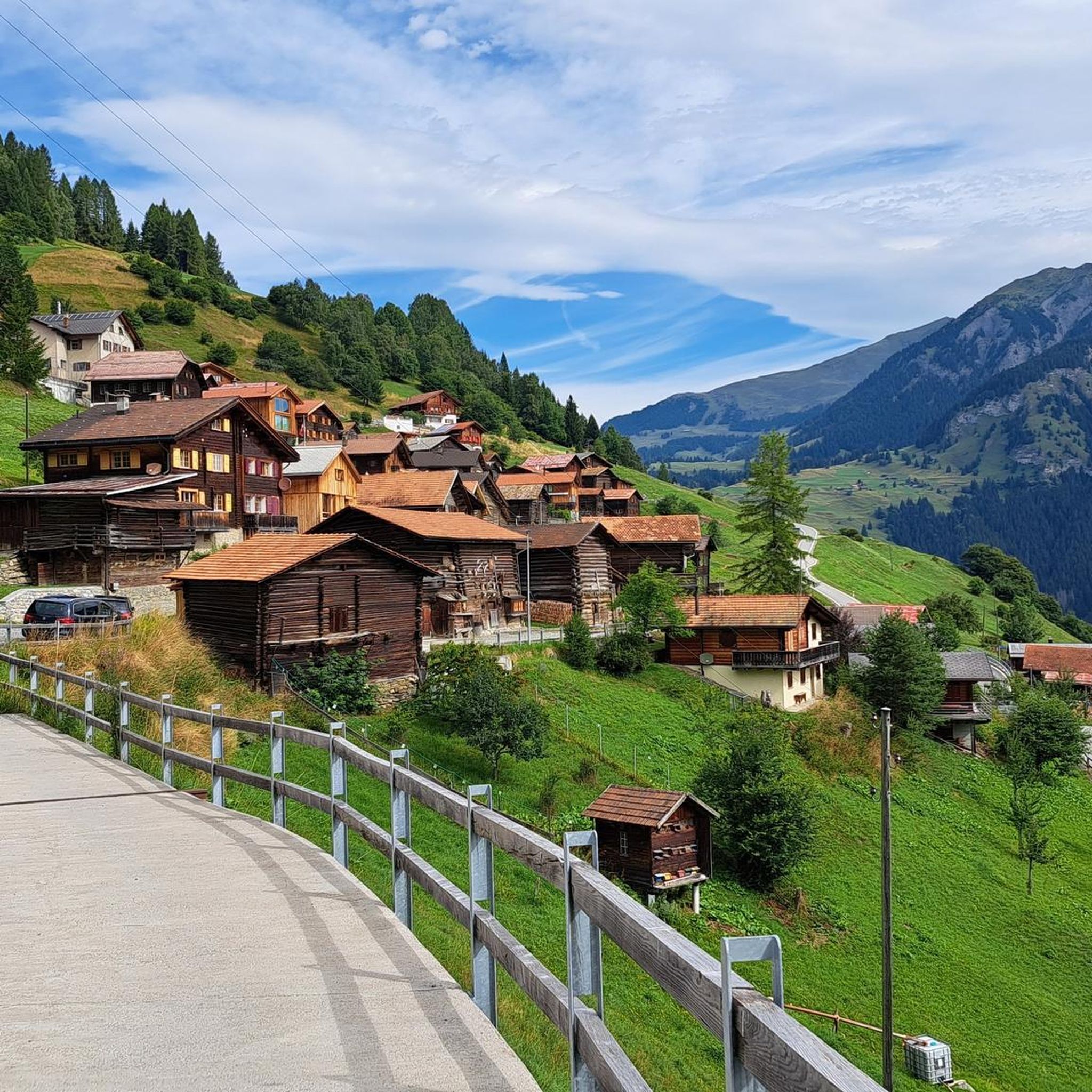
Hiking around Mutten offers diverse trails through alpine landscapes in Switzerland. The region is characterized by rugged mountain terrain, featuring significant elevation gains and panoramic views of the surrounding Swiss Alps. A notable natural feature is Limmernsee, a hydroelectric reservoir known for its striking turquoise-blue waters, fed by glacial runoff. The area provides a range of hiking experiences, from moderate paths to steep sections.
Best hiking trails around Mutten
- The most popular hiking route is Muttner Höhi – Viamala hiking…
Last updated: September 28, 2026
4.8
(4)
33
hikers
2.26km
00:46
120m
120m
Easy hike. Great for any fitness level. Easily-accessible paths. Suitable for all skill levels.
4.7
(13)
75
hikers
8.25km
03:12
510m
510m
Moderate hike. Good fitness required. Mostly accessible paths. Sure-footedness required.

5.0
(2)
8
hikers
18.5km
06:10
790m
790m
Hard hike. Very good fitness required. Mostly accessible paths. Sure-footedness required.
4.5
(2)
15
hikers
5.08km
02:04
310m
310m
Moderate hike. Good fitness required. Mostly accessible paths. Sure-footedness required.
5.0
(3)
11
hikers
18.1km
06:23
890m
900m
Hard hike. Very good fitness required. Mostly accessible paths. Sure-footedness required.
Get access to more routes and recommendations from other explorers.
Already have an account?
Our route recommendations are based on thousands of hikes, rides, and runs completed by other people on komoot.
Start today with a free account
Your next adventure awaits.

Tips from the Community

Don't be intimidated by the two alpine dogs, they are very friendly :)
0
0

Fantastic panoramic point also easily reachable by mountain bike from Obermutten.
1
0

Highest wooden church in Europe
2
0

Here in Ziteil, on the eastern slope of the Piz Curvér, is the highest pilgrimage site in Switzerland at 2,429 meters above sea level. The pilgrimage chapel is not always open. If you're lucky enough to have it open, I recommend checking it out inside.
2
1
Stierva is a village in the canton of Graubünden on the left bank of the Albula. More precisely, on the eastern slope of a mountain range whose highest peaks are the Curvér Pintg da Taspegn (2,731 metres) and the Muttner Horn (2,401 metres).
0
0

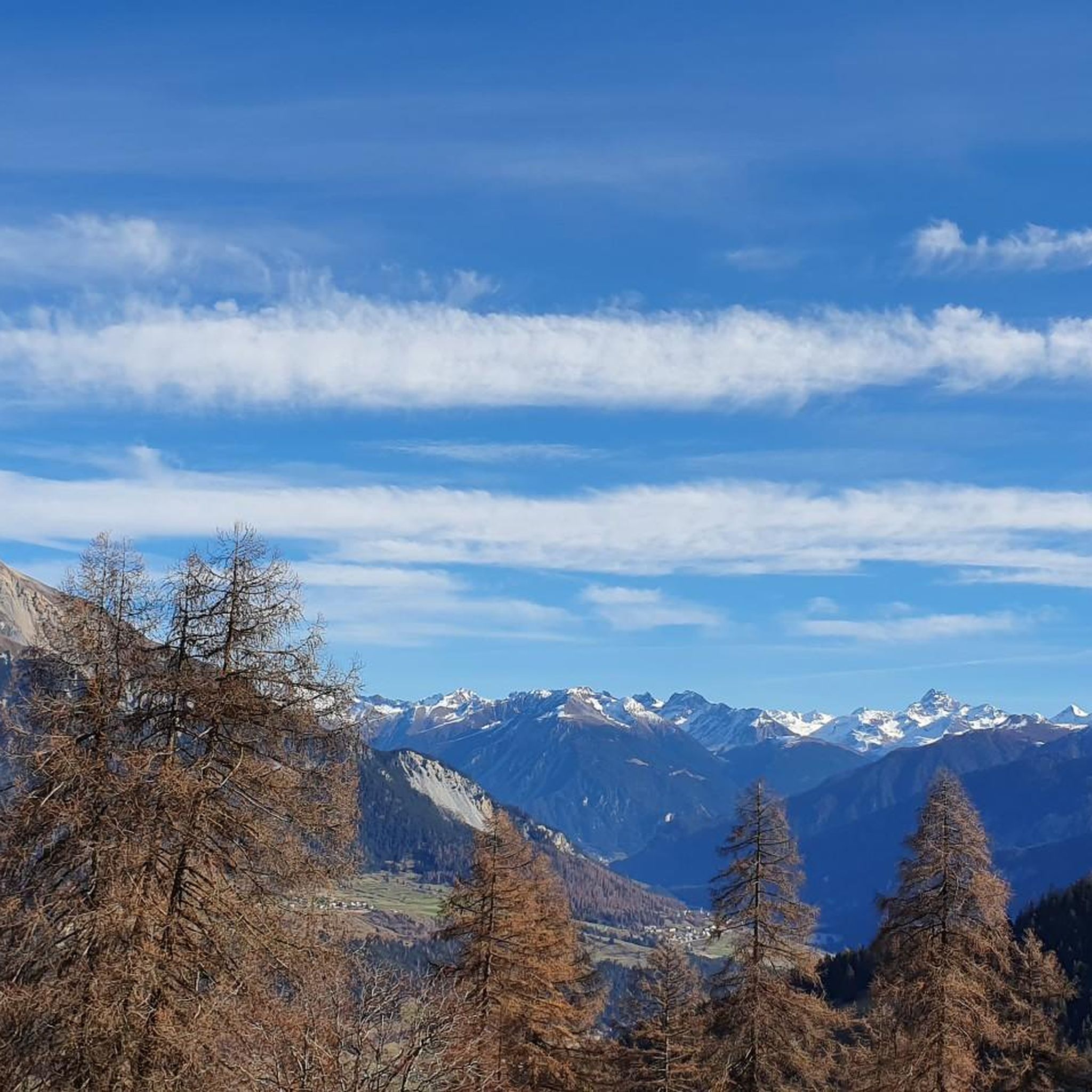
Great view of the whole valley
0
0

Unfortunately there is no water outside of opening hours. So it is better to fill up at the fountain in Munter and then carry it up if necessary.
0
1

Park your car at the Mutten Unterdorf stop and take the Postbus to Obermutten. (Reservation required). The fireplace can be reached after a short hike and is ideal for small children.
0
0
Frequently Asked Questions
How many hiking trails are available around Mutten?
There are 12 hiking routes around Mutten, offering a diverse range of experiences. These include 4 easy, 5 moderate, and 3 difficult trails, ensuring options for various skill levels.
What kind of landscapes can I expect to see while hiking in Mutten?
Mutten is renowned for its stunning alpine scenery, rugged mountain terrain, and breathtaking vistas of the Swiss Alps. A notable feature is the Limmernsee, a hydroelectric reservoir with striking turquoise-blue waters fed by glacial runoff, adding to the picturesque landscape.
Are there any unique attractions or landmarks to explore along the trails?
Yes, hikers can experience the unique 3-kilometer walk through the service tunnel of the Limmernsee dam, which offers a distinct adventure. Additionally, the region features the Viamala Gorge and the Roffla Gorge, both offering impressive natural formations.
Are there any waterfalls to see near Mutten?
Yes, the area around Mutten features several waterfalls. You can explore highlights such as the Nolla Waterfall and the Small Waterfall and Cliff Pathway, which are popular spots for hikers.
What is the best time of year to go hiking in Mutten?
The best time for hiking in Mutten is generally during the warmer months, from late spring to early autumn, when trails are clear of snow and the alpine flora is in full bloom. This period offers the most favorable conditions to enjoy the diverse trails and stunning views.
Are there any circular hiking routes in Mutten?
Yes, Mutten offers several circular routes. A popular moderate option is the Wooden Church of Obermutten – Muttner Horn loop from Mutten, which covers 12.4 km and takes about 4 hours and 16 minutes. Another moderate choice is the Wooden Church of Obermutten – Muttnerhorn Summit loop from Mutten, spanning 8.2 km.
Are there any easy hikes suitable for beginners or families?
Absolutely. For an accessible experience, consider the Muttner Höhi – Viamala hiking paradise. This easy 2.3 km trail takes approximately 46 minutes and offers accessible views of the alpine surroundings.
What is the typical duration for hikes in Mutten?
Hike durations in Mutten vary significantly based on difficulty and length. Easy trails like the Muttner Höhi – Viamala hiking paradise can be completed in under an hour, while more challenging routes such as the Wooden Church of Obermutten – Ziteil Pilgrimage Chapel loop from Mutten can take over 7 hours to complete.
What do other hikers say about the trails in Mutten?
The trails in Mutten are highly regarded by the komoot community, with an average rating of 4.6 stars from over 200 reviews. Hikers often praise the diverse terrain, the breathtaking alpine views, and the unique natural features like Limmernsee.
Is public transport available to reach hiking starting points?
While some trails involve significant elevation gains, certain starting points are accessible via cable car, providing an alternative to a long ascent. This offers flexibility for hikers who prefer to reach higher elevations more quickly.
Can I spot any wildlife while hiking in Mutten?
Yes, the serene mountain environment around Mutten offers opportunities to observe local wildlife. Hikers have reported spotting ibex, among other alpine species, in their natural habitat.
Are there options for longer, more challenging hikes?
For experienced hikers seeking a challenge, the Wooden Church of Obermutten – Ziteil Pilgrimage Chapel loop from Mutten is a difficult 20.5 km trail with significant elevation gain, typically taking over 7 hours to complete through high alpine landscapes.
Most popular routes around Mutten
Most popular attractions around Mutten

Get inspired with the komoot mobile app


Explore more
Browse the best Hikes in other regions.
