The best road cycling routes around Mürlenbach
4.7
(280)
3,233
riders
23
rides
Road cycling around Mürlenbach is characterized by the volcanic landscape of the Vulkaneifel region, featuring rolling hills, dense forests, and the picturesque Kyll valley. The area's topography provides varied terrain, from gentle riverside paths along the Kyll to challenging climbs through wooded mountain slopes. This geological history has shaped a diverse environment suitable for road cyclists seeking both scenic routes and elevation changes. The region offers a network of paved roads that traverse fields, meadows, and small villages.
Best road…
Last updated: October 8, 2026
31
riders
83.3km
04:13
1,400m
1,400m
Hard road ride. Very good fitness required. Mostly well-paved surfaces and easy to ride.
5.0
(2)
28
riders
28.9km
01:18
300m
300m
Moderate road ride. Good fitness required. Mostly well-paved surfaces and easy to ride.

5.0
(1)
12
riders
85.9km
04:20
1,330m
1,330m
Hard road ride. Very good fitness required. Some segments of this route may be unpaved and difficult to ride.
10
riders
Moderate road ride. Good fitness required. Mostly well-paved surfaces and easy to ride.
9
riders
Moderate road ride. Good fitness required. Mostly well-paved surfaces and easy to ride.
Get access to more routes and recommendations from other explorers.
Already have an account?
Our route recommendations are based on thousands of hikes, rides, and runs completed by other people on komoot.
Start today with a free account
Your next adventure awaits.

Tips from the Community

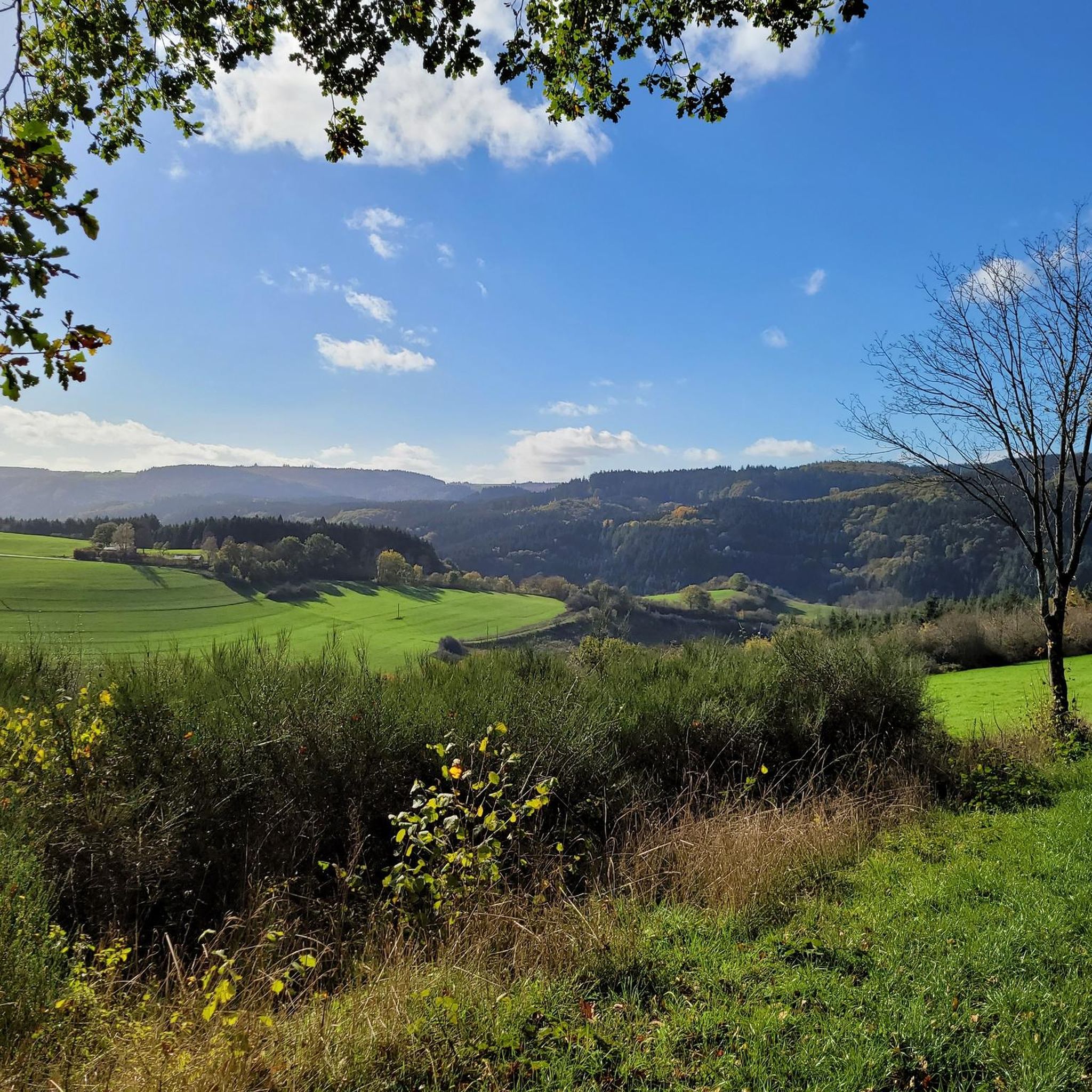
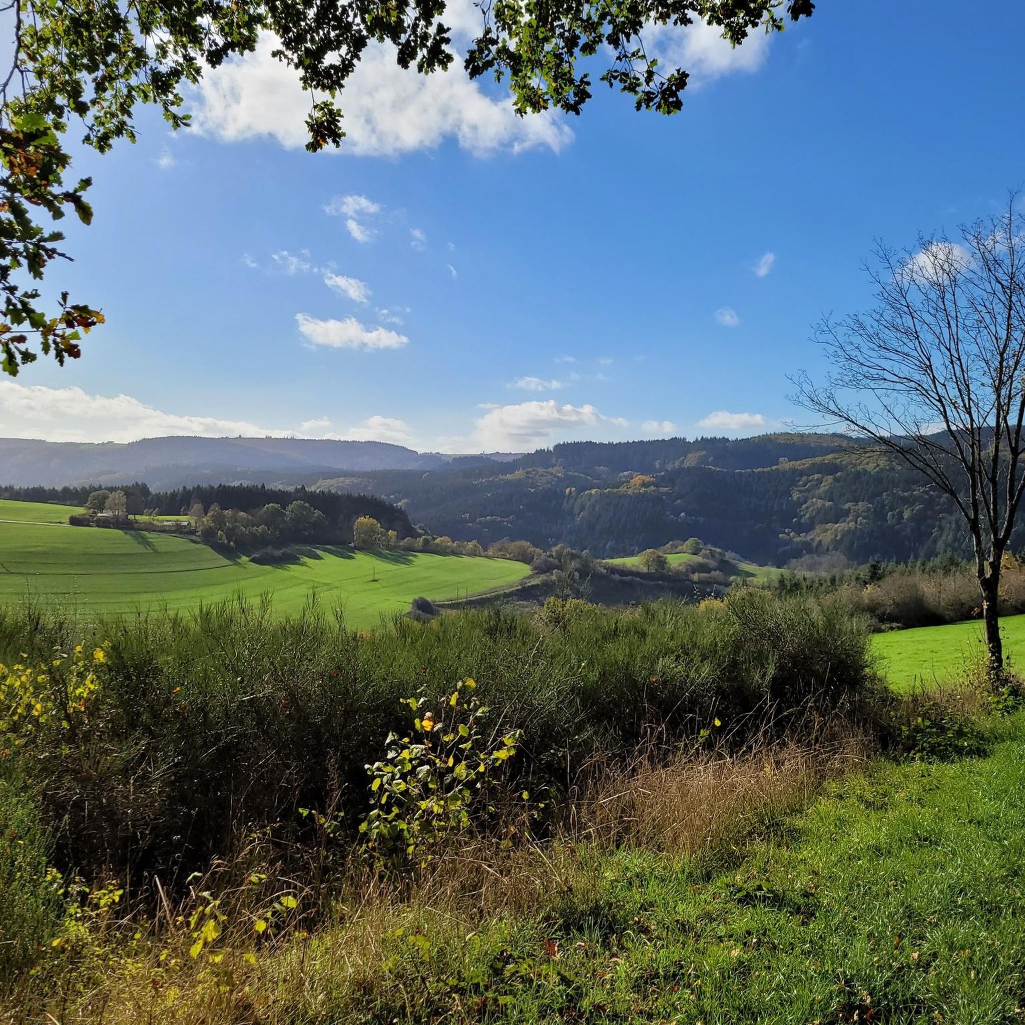
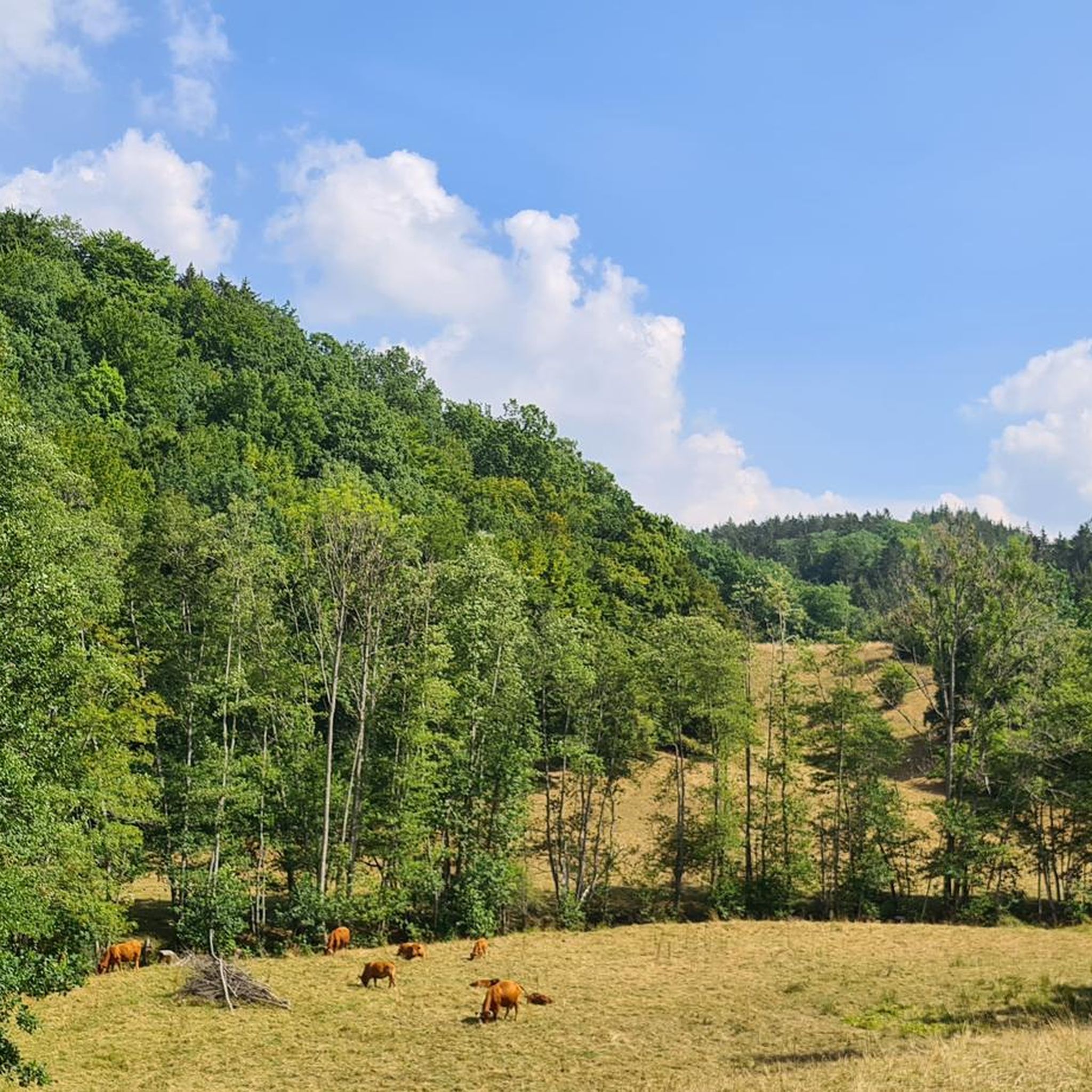
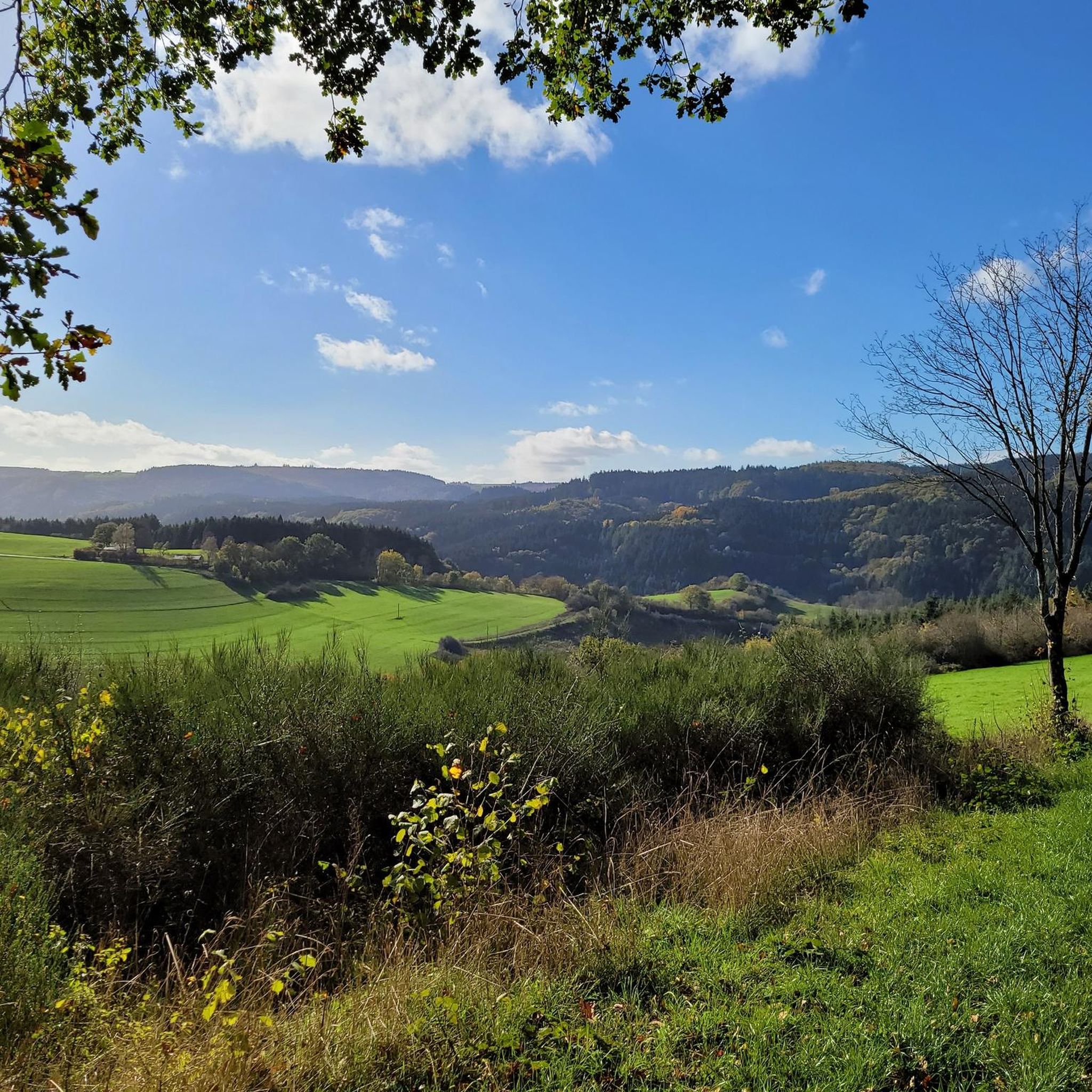
grocery store on the Kyll in Densborn. You can find everything there: 🍞 bread, cold cuts, cheese ... and even ice cream. Stop by and buy your picnic there. Well-equipped picnic area on the other side of the water
0
0

In the long-gone days of our grandparents, a central bakehouse was common for the village community. In many places, these were eventually demolished. Here in Bolsdorf, however, it has been preserved and still bears witness to the old days.
7
0

Great climb with new asphalt surface!
0
0
Great tree to admire as you drive by!
1
0


The cycle path between Kyllburg and St. Thomas is currently closed, you will be diverted via the road!
2
0

Perfect asphalt and moderate incline :) perfect for performance testing!
0
0

Very nice and quiet K-road over a ridge, you drive right through the forest!
0
0
Frequently Asked Questions
What kind of terrain can I expect when road cycling around Mürlenbach?
Road cycling around Mürlenbach offers a diverse experience, characterized by the volcanic landscape of the Vulkaneifel region. You'll encounter rolling hills, dense forests, and the picturesque Kyll valley. The terrain provides both challenging climbs and exhilarating descents, alongside gentler riverside paths.
Are there road cycling routes for all skill levels in Mürlenbach?
Yes, Mürlenbach caters to various skill levels. The region features 2 easy routes, 7 moderate routes, and 15 difficult routes, ensuring options for beginners looking for a relaxed ride along the Kyll River, as well as experienced cyclists seeking significant elevation gains.
What natural sights can I see while road cycling in Mürlenbach?
While road cycling, you can immerse yourself in the natural beauty of the Kyll valley with its green meadows and wooded slopes. Notable natural attractions in the broader region include the dramatic Gerolsteiner Dolomiten Rock Formations and the intriguing Buchenloch Cave. You might also catch panoramic vistas from viewpoints like the View of Gerolstein from the Munterley.
Are there historical landmarks to explore on road cycling routes around Mürlenbach?
Absolutely. The region is rich in history. You can cycle past the medieval Bertradaburg, a hilltop castle ruin with a preserved gatehouse. Other historical sites nearby include the Freudenkoppe Castle Ruins and the historic Millstone Cave at Nerother Kopf.
Can I find scenic loop routes for road cycling in Mürlenbach?
Many road cycling routes around Mürlenbach are designed as loops, allowing you to start and finish in the same location while enjoying varied scenery. For example, the View of Bertrada Castle – Climb to Rom loop from Mürlenbach offers stunning views and a challenging ride.
Is Mürlenbach well-connected by public transport for cyclists?
Mürlenbach is situated along the Kyll River, which is paralleled by the Kylltalradweg (Kyll Valley Cycle Path) and a railway line. This makes it accessible by train, allowing cyclists to reach the area and potentially combine cycling with public transport for longer tours or return journeys.
Where can I find challenging road cycling routes near Mürlenbach?
For challenging rides, consider routes that venture into the higher elevations of the Vulkaneifel. The Forest climb near Burg Neuerburg – Pronsfeld Railway Museum loop from Mürlenbach is a difficult 53.5-mile route with significant elevation gain, perfect for experienced road cyclists.
Are there easy road cycling routes suitable for beginners in Mürlenbach?
Beginners can enjoy the gentler routes, particularly those following the Kyll River. The Kyll River – Bertrada Castle loop from Mürlenbach is an easy 17.9-mile path that follows the scenic river and passes by the historic Bertrada Castle, offering a pleasant ride with less elevation.
What is the best time of year for road cycling in Mürlenbach?
The Vulkaneifel region generally offers pleasant cycling conditions from spring through autumn. Spring brings blooming landscapes, while autumn provides vibrant foliage. Summer is also suitable, though it's always wise to check local weather forecasts for optimal riding conditions.
Are there places to stop for refreshments along the road cycling routes?
Yes, many routes pass through small villages or near towns where you can find cafes, restaurants, or pubs. The region is accustomed to outdoor enthusiasts, so you'll often find opportunities to refuel and rest during your ride.
What do other road cyclists enjoy the most about road cycling in Mürlenbach?
The area is highly rated by the komoot community, with an average score of 4.7 stars from over 100 reviews. Reviewers often praise the varied terrain, from scenic riverside paths to challenging climbs, and the beautiful volcanic landscape that makes each ride unique.
How many road cycling routes are available around Mürlenbach?
There are 24 road cycling routes available around Mürlenbach, offering a wide range of distances and difficulty levels to suit different preferences and fitness levels.
Most popular routes around Mürlenbach
Most popular attractions around Mürlenbach

Get inspired with the komoot mobile app


Explore more
Browse the best Road cycling routes in other regions.
