The best walks and hikes around Münzkirchen
4.5
(2625)
11,832
hikers
384
hikes
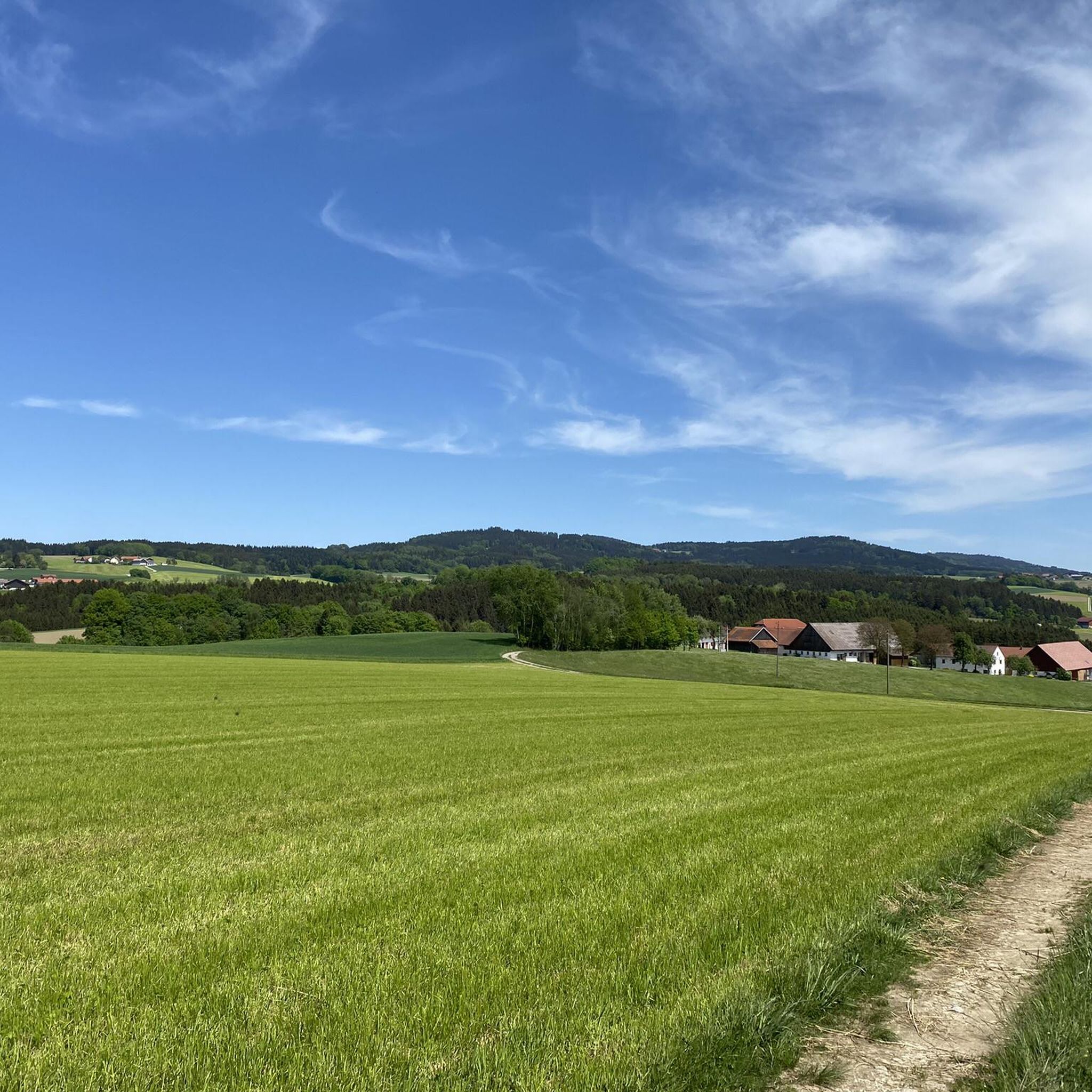
Hiking around Münzkirchen offers diverse landscapes, from gentle river valleys to elevated viewpoints. The region is characterized by varied trail difficulties, natural monuments, and panoramic vistas. Hikers can explore areas featuring unique geological formations and the confluence of rivers. The terrain includes both accessible paths and more challenging routes, catering to a wide range of fitness levels.
Best hiking trails around Münzkirchen
- The most popular hiking route is Kneidinger Chapel – Biberweg loop from Münzkirchen, a 15.5 miles (24.9…
Last updated: October 1, 2026
4.8
(4)
17
hikers
8.82km
02:27
170m
170m
Moderate hike. Good fitness required. Easily-accessible paths. Suitable for all skill levels.
5.0
(4)
12
hikers
7.75km
02:10
150m
150m
Moderate hike. Good fitness required. Easily-accessible paths. Suitable for all skill levels.

5.0
(4)
10
hikers
7.92km
02:10
120m
120m
Moderate hike. Good fitness required. Easily-accessible paths. Suitable for all skill levels.
4.8
(4)
14
hikers
24.9km
06:55
450m
450m
Hard hike. Very good fitness required. Easily-accessible paths. Suitable for all skill levels.
5.0
(3)
14
hikers
7.83km
02:02
50m
50m
Moderate hike. Good fitness required. Easily-accessible paths. Suitable for all skill levels.
Get access to more routes and recommendations from other explorers.
Already have an account?
Our route recommendations are based on thousands of hikes, rides, and runs completed by other people on komoot.
Start today with a free account
Your next adventure awaits.
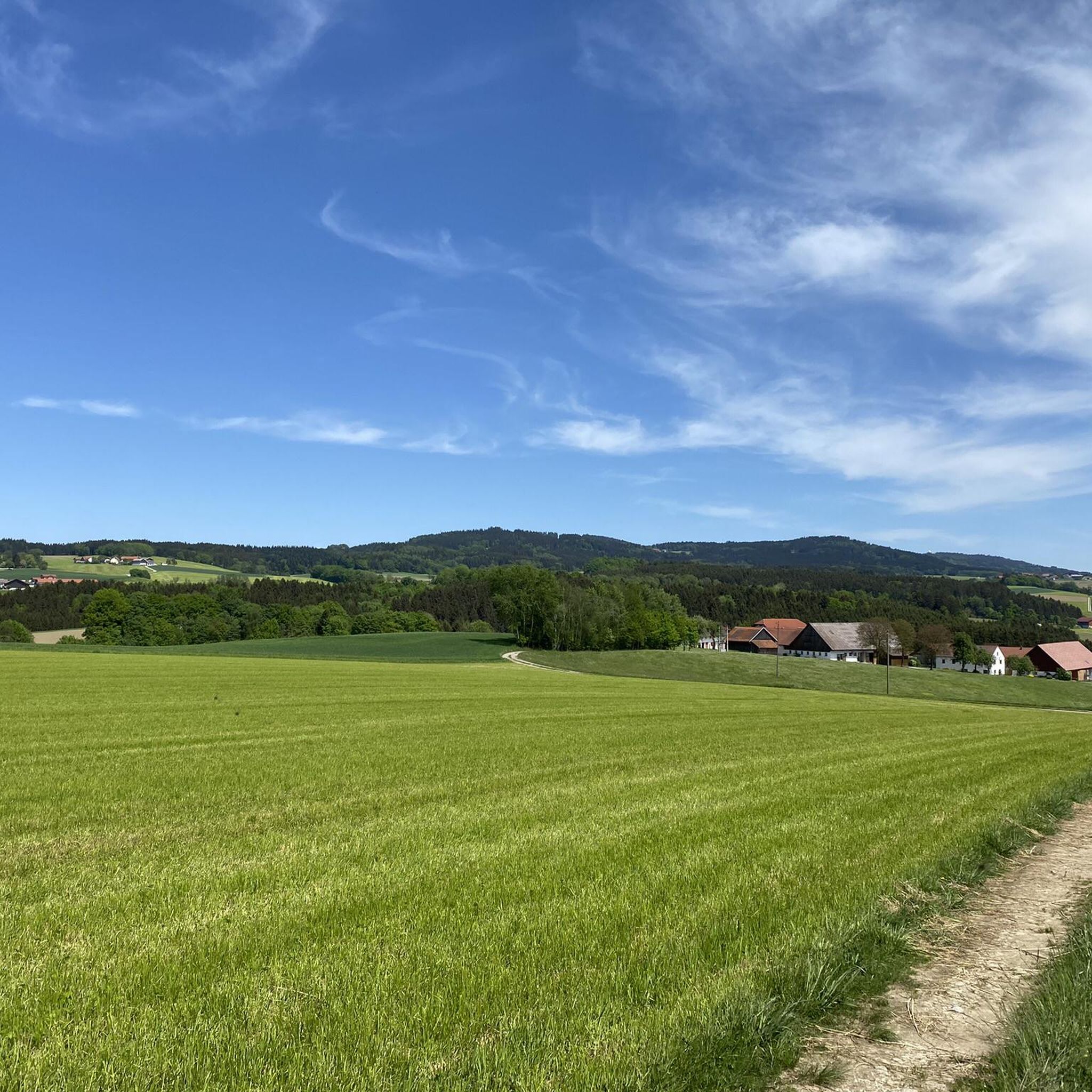
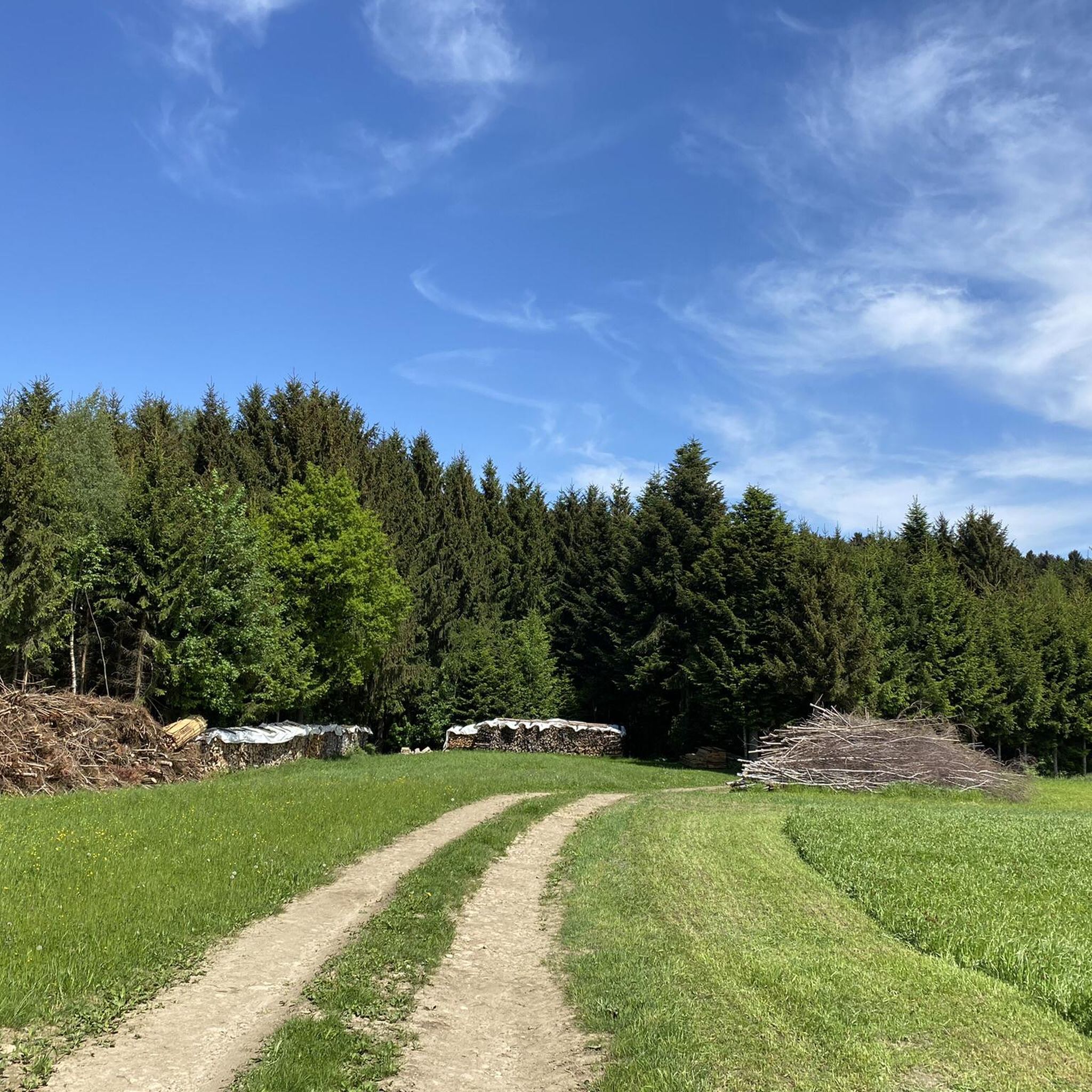
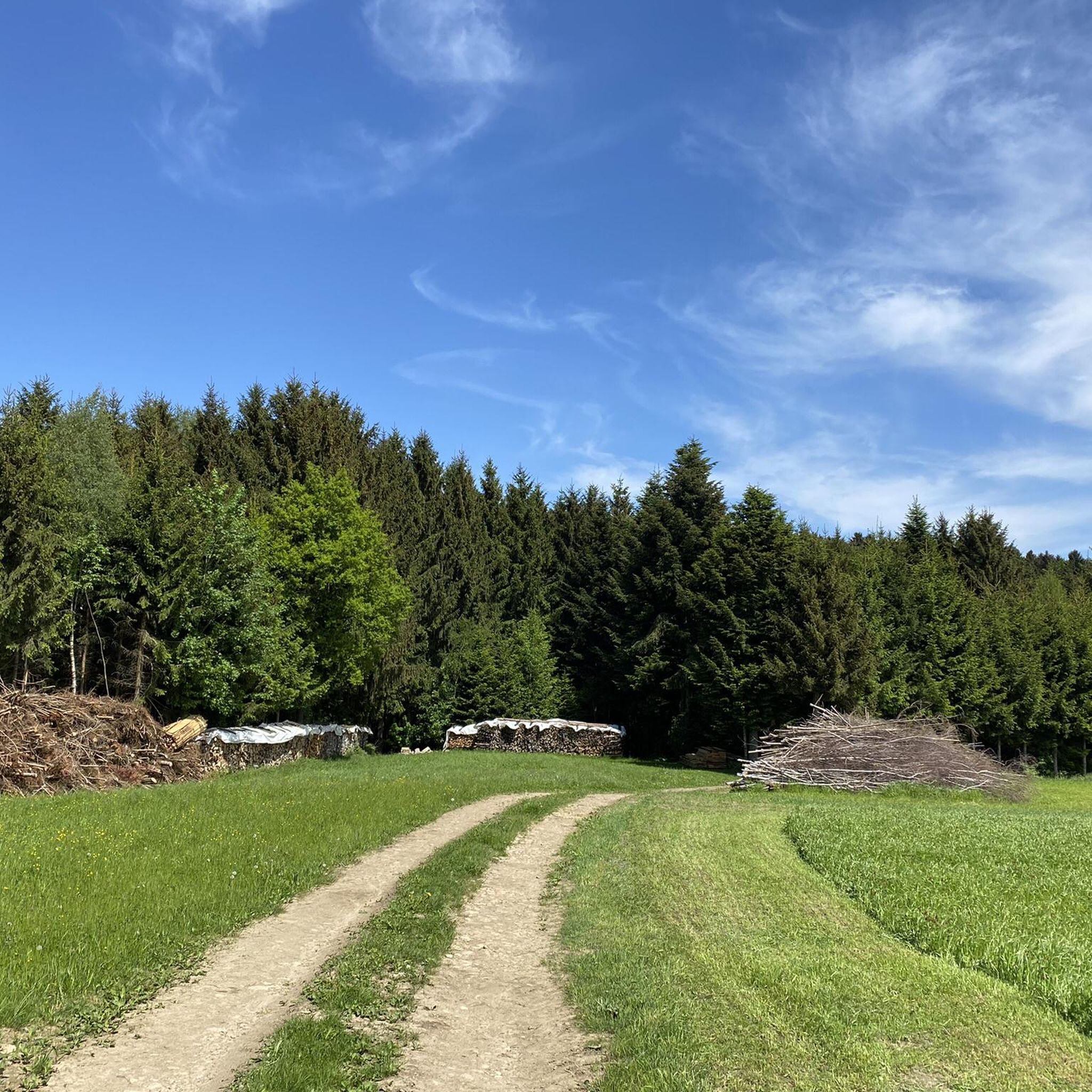
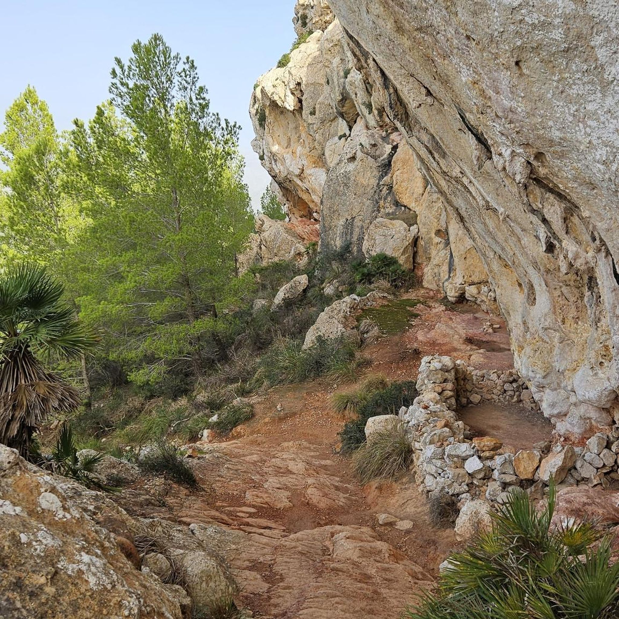
Tips from the Community

Old mill on the Leitenbach stream, on the Leiten hiking trail.
0
0
Old mill on the Leitenbach stream at Leitenweg
0
0
Ludhamer Bach in the Eitzenberger Wald forest on the Leitenweg trail.
0
0
View from Eitzenberg towards Stainerzaun, behind it Au
0
0
Eitzenberg is a village in the municipality of Münzkirchen.
0
0
Bridge on Biberweg between Freundof and Kösslarn.
0
0
Fish pond near the Kößlbach stream.
0
0
Grenzbach between Esternberg and Münzkirchen.
0
0
Frequently Asked Questions
How many hiking trails are available around Münzkirchen?
There are 16 hiking trails around Münzkirchen listed on komoot, offering a variety of experiences. These include 4 easy routes, 10 moderate paths, and 2 more challenging trails for experienced hikers.
What types of natural features can I expect to see while hiking in Münzkirchen?
Münzkirchen's hiking trails are rich in natural beauty. You can discover numerous natural monuments, enjoy panoramic views from elevated points like the König-Max-Höhe, and witness unique geological formations such as the Jochenstein rock island. The region also features the fascinating 'Three Rivers Corner' where the Danube, Inn, and Ilz rivers converge, showcasing their distinct water colors.
Are there any easy, family-friendly hiking options in Münzkirchen?
Yes, Münzkirchen offers several easy routes suitable for families. For example, the Chapel on Sebastianweg – Pilgrimage Church Münzkirchen loop from Münzkirchen is an easy 6.7 km trail, typically completed in under two hours. Another accessible option is the Chapel on Sebastianweg – Parish Church of Münzkirchen loop from Münzkirchen, which is 5.8 km long.
What do other hikers enjoy most about the trails in Münzkirchen?
The hiking trails around Münzkirchen are highly rated by the komoot community, with an average score of 4.5 stars from over 2,300 reviews. Hikers often praise the diverse landscapes, from gentle river valleys to elevated viewpoints, and the well-maintained paths that cater to various fitness levels. The presence of natural monuments and panoramic vistas are frequently highlighted as favorite aspects.
Are there any circular hiking routes available in Münzkirchen?
Yes, many of the trails in Münzkirchen are designed as circular routes, allowing you to start and end at the same point. An example is the moderate Prackenberg Chapel – Kirchsteigweg Near Ludham loop from Landertsberg, which winds through the local countryside and offers views of chapels and rural landscapes.
Can I find trails that offer significant elevation gain for a more challenging hike?
Absolutely. For those seeking a greater challenge, Münzkirchen has routes with significant elevation gain. The Kneidinger Chapel – Biberweg loop from Münzkirchen is a difficult 24.9 km trail with over 500 meters of elevation gain, taking around 7 hours to complete through varied terrain.
Are there any historical or cultural points of interest near the hiking trails?
While hiking, you can explore several historical and cultural points of interest. These include the picturesque Silberzeile in Schärding, known for its Baroque architecture, and the Mariensteg Neuburg–Wernstein, a pedestrian bridge connecting communities across the Inn river. You can also find various chapels along the routes, such as those featured in the Bridge over the Kößlbach – Forest Path Along the Stream loop from Münzkirchen.
What kind of views can I expect from the viewpoints around Münzkirchen?
From various viewpoints around Münzkirchen, you can enjoy expansive panoramic views. Locations like the König-Max-Höhe offer vistas encompassing the Bavarian Forest, Bohemian Forest, Sauwald, and Neuburg Forest. On clear days, you might even catch a glimpse of the distant Alps. The Panoramic view with Veste, Ortsspitze, and the confluence of the Ilz and Danube is another notable highlight.
Are there any castles or historic ruins to visit near Münzkirchen?
Yes, the region around Münzkirchen is home to several historic castles. You can visit Wernstein Castle, which also features the Marian Column, or explore Neuhaus Castle on the Inn. These sites offer a glimpse into the area's rich history and provide interesting destinations to combine with your hike.
What is the typical duration for a moderate hike in Münzkirchen?
Moderate hikes in Münzkirchen can vary in length and duration. Many can be completed within 2 to 3 hours, such as the Bridge over the Kößlbach – Forest Path Along the Stream loop from Münzkirchen, which is 8.1 km long and typically takes about 2 hours and 13 minutes. Longer moderate routes might extend up to five hours, depending on the distance and elevation.
Are there any trails that follow rivers or streams?
Yes, some trails in Münzkirchen feature beautiful sections along rivers and streams. The Bridge over the Kößlbach – Forest Path Along the Stream loop from Münzkirchen is a great example, leading you through forest paths directly alongside a stream, offering a refreshing and scenic experience.
Most popular routes around Münzkirchen
Most popular attractions around Münzkirchen

Get inspired with the komoot mobile app


Explore more
Browse the best Hikes in other regions.
