The best walks and hikes around Müntschemier
4.6
(1133)
8,272
hikers
396
hikes
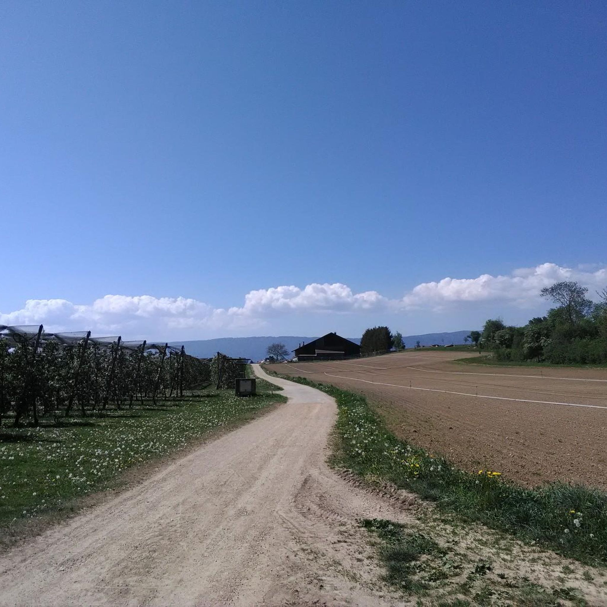
Hiking around Müntschemier offers diverse landscapes within Switzerland's Seeland region. The area is characterized by its connection to significant waterways, including the Canal de la Broye, the Zihl Canal, and Lake Biel. The Naturschutzgebiet Grube Müntschemier, a biodiversity oasis, features valuable dry meadows and amphibian ponds. This historically marshy landscape provides a varied terrain for outdoor activities.
Best hiking trails around Müntschemier
- The most popular hiking route is Hike on the Mont Vully, a 7.9 miles (12.6 km) trail that takes 3 hours 35 minutes to complete. This moderate route offers views of the surrounding vineyards and the Mont Vully hill.
- Another top favourite among local hikers is Lake Murten to Lake Neuchâtel, a moderate 5.2 miles (8.3 km) path. This trail connects two major lakes, featuring relatively flat terrain along the waterways.
- Local hikers also love the View of Lake Murten – Beautiful vineyard slope near Sugiez loop from Sugiez, a 4.7 miles (7.5 km) trail leading through vineyard slopes, often completed in about 2 hours 15 minutes.
- Hiking around Müntschemier is defined by its waterways, vineyard slopes, and the unique natural features of the Naturschutzgebiet Grube Müntschemier. The network offers options for easy, moderate, and more challenging ability levels.
- The routes in Müntschemier are highly rated by the komoot community with an average score of 4.6 stars from over 900 reviews. More than 8000 hikers have used komoot to explore Müntschemier's varied terrain.
Last updated: July 10, 2026
4.7
(59)
330
hikers
12.6km
03:35
260m
260m
Moderate hike. Good fitness required. Mostly accessible paths. Sure-footedness required.
3
hikers
8.30km
02:05
10m
10m
Moderate hike. Good fitness required. Mostly accessible paths. Sure-footedness required.

Sign up for free
4.7
(12)
138
hikers
Moderate hike. Good fitness required. Easily-accessible paths. Suitable for all skill levels.
4.8
(9)
40
hikers
8.61km
02:31
210m
210m
Moderate hike. Good fitness required. Mostly accessible paths. Sure-footedness required.
3.8
(6)
37
hikers
6.41km
01:57
210m
210m
Easy hike. Great for any fitness level. Easily-accessible paths. Suitable for all skill levels.
Get access to more routes and recommendations from other explorers.
Sign up for free
Already have an account?
Our route recommendations are based on thousands of hikes, rides, and runs completed by other people on komoot.
Start today with a free account
Your next adventure awaits.
Login or Signup
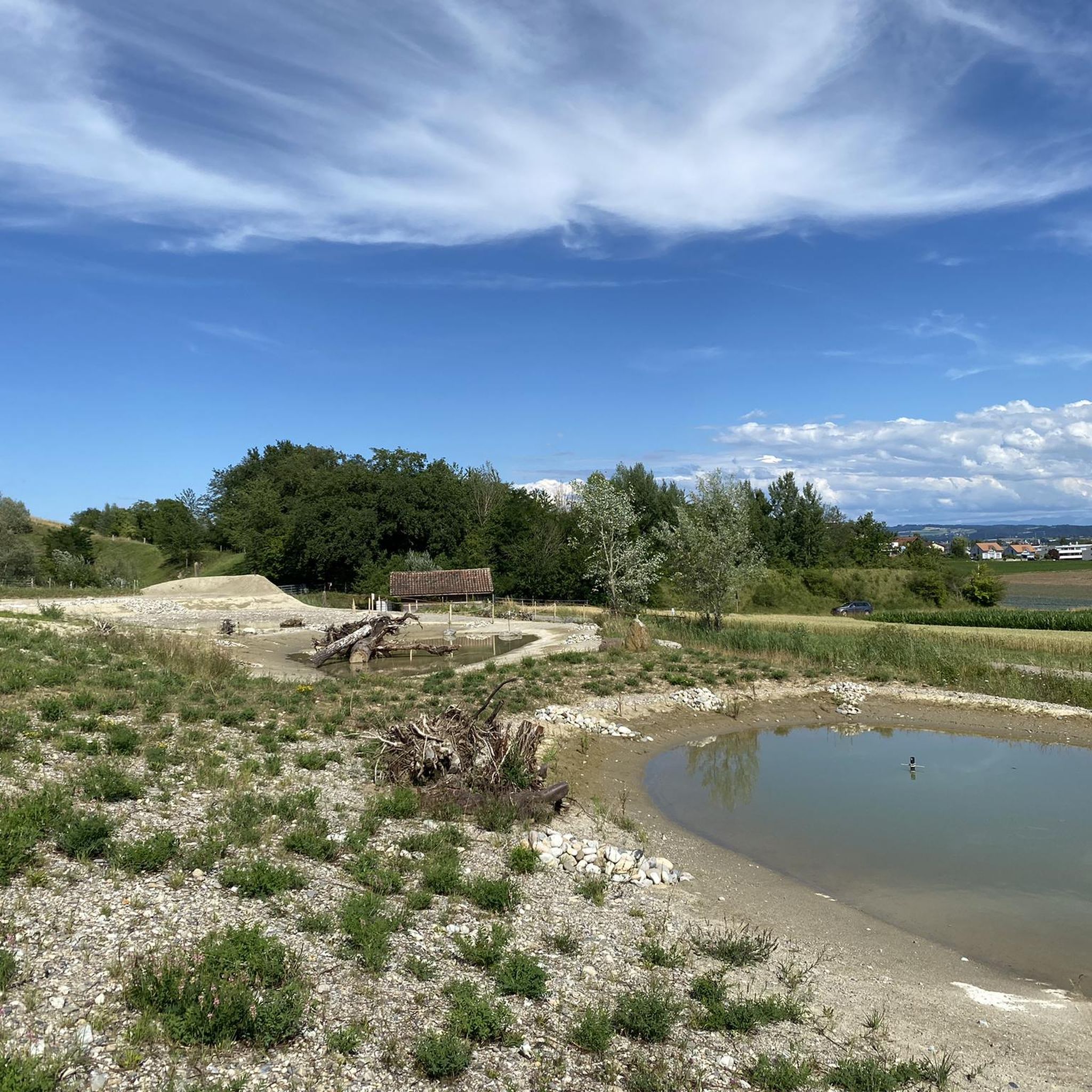
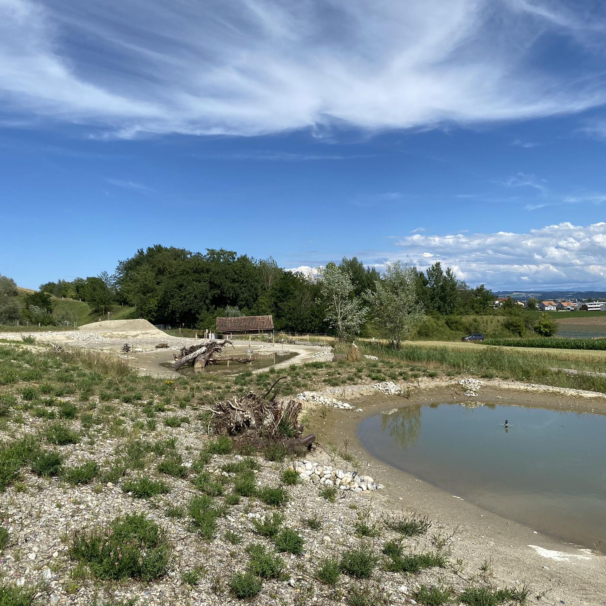
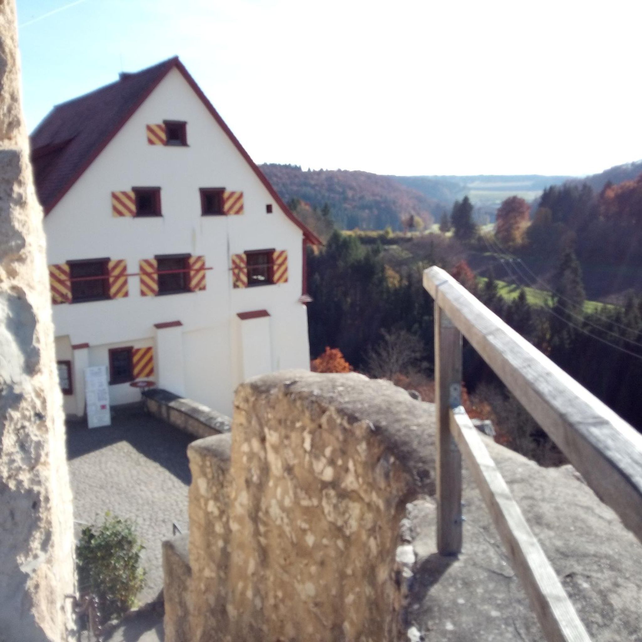
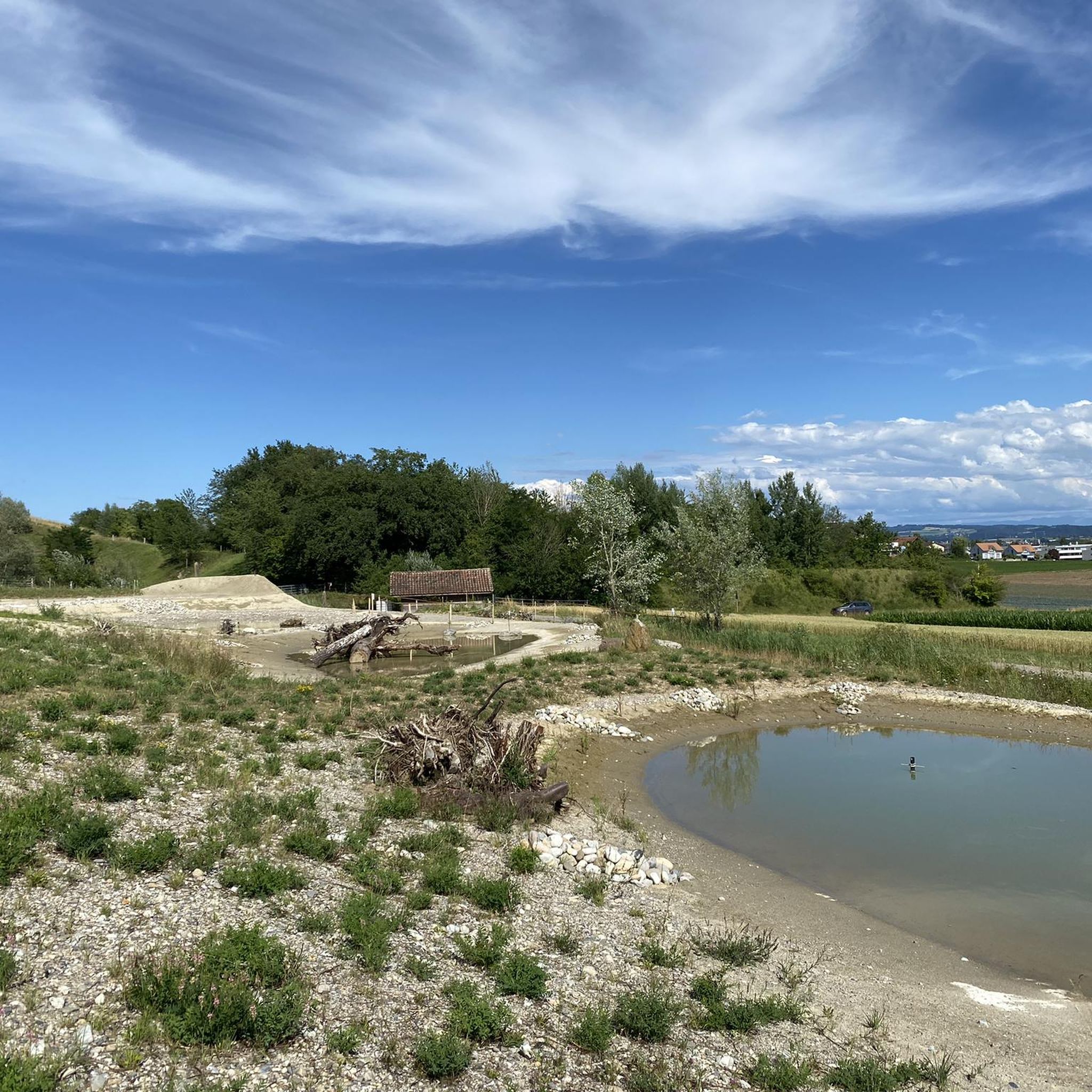
Tips from the Community

Beautiful view!
0
0

What is it yes It is It is bird
0
0

Infantry position from World War I
0
0

200 meters of pure playground with several corridors, caverns, and stairs. An adventure for all ages!
0
0
Model oppidum of Switzerland, good reconstruction of a typical Celtic wall.
1
0
Short walk, pleasant incline and fantastic view.
0
0

Awesome approach from Sugiez, then a further descent via Lugnorre. The view of 2-3 lakes is fantastic!
0
0

More of a walk than a hike, but the setting is magnificent and perfect for a little outing 😉
0
0
Frequently Asked Questions
How many hiking trails are available around Müntschemier?
There are over 400 hiking routes around Müntschemier, catering to various skill levels. This includes more than 200 easy trails, 180 moderate routes, and a few more challenging options.
What kind of natural features can I expect to see on hikes near Müntschemier?
The region is rich in natural features, including the significant Naturschutzgebiet Grube Müntschemier, an important biodiversity oasis with dry meadows and amphibian ponds. You'll also encounter the Canal de la Broye and the Zihl Canal, which connects to Lake Biel. The area is known for its waterways and vineyard slopes, offering diverse scenery.
Are there any waterfalls to discover on hikes around Müntschemier?
Yes, you can find the Pilouvi Waterfalls among the natural monuments in the vicinity of Müntschemier, offering a refreshing sight during your hike.
What are some interesting landmarks or historical sites to visit while hiking?
Hikers can explore several notable landmarks. The impressive Hagneck Hydroelectric Power Plant is a significant highlight. Additionally, the charming Murten Old Town and Le Landeron Old Town offer historical insights and opportunities for exploration. You might also encounter castles like Schloss Münchenwiler and Cressier Castle.
Are there any circular hiking routes near Müntschemier?
Yes, there are several circular routes. One popular option is the View of Lake Murten – Beautiful vineyard slope near Sugiez loop from Sugiez, which takes you through scenic vineyard slopes. Another is the View of Lake Murten – Mont Vully loop from Sugiez, offering views of the lake and the Mont Vully hill.
What is the terrain like for hiking around Müntschemier?
The terrain around Müntschemier is quite varied. You'll find relatively flat paths along waterways like the Canal de la Broye and the Zihl Canal, as well as gentle ascents through vineyard slopes, particularly around Mont Vully. The region's historically marshy landscape contributes to its unique character.
What do other hikers say about the trails in Müntschemier?
The hiking routes in Müntschemier are highly regarded by the komoot community, holding an average rating of 4.6 stars from nearly 1,000 reviews. Over 8,000 hikers have used komoot to explore the area, often praising the diverse landscapes and well-maintained paths.
Are there any hikes that connect different lakes in the region?
Yes, a notable route is Lake Murten to Lake Neuchâtel. This moderate trail connects two major lakes, offering a scenic journey along the waterways with relatively flat terrain.
Can I hike through vineyards in the Müntschemier area?
Absolutely. The region is known for its vineyard slopes, especially around Mont Vully. Routes like the Hike on the Mont Vully offer beautiful views as you traverse through these picturesque landscapes.
Are there any routes that pass by interesting natural monuments?
Many routes will bring you close to the region's natural monuments. For instance, the Mont Vully itself is a significant natural feature. You can also find the Hagneck Canal Mouth, which is part of the area's impressive natural formations.
What is the best time of year to go hiking in Müntschemier?
The Seeland region, where Müntschemier is located, offers pleasant hiking conditions through much of the year. Spring and autumn provide comfortable temperatures and beautiful scenery, especially with the changing colors of the vineyards. Summer is also popular, though it can be warmer, making routes near waterways particularly appealing.
Are there any routes that include exploring caves?
Yes, you can find routes that incorporate unique geological features. The Beautiful vineyard slope near Sugiez – Grey Rock Caves loop from Sugiez is one such trail that allows you to explore the Grey Rock Caves area.
Most popular routes around Müntschemier
Most popular attractions around Müntschemier

Get inspired with the komoot mobile app


Explore more
Browse the best Hikes in other regions.
