Münchweiler an der Alsenz
Münchweiler an der Alsenz
The best road cycling routes around Münchweiler an der Alsenz
4.7
(170)
2,262
riders
19
rides
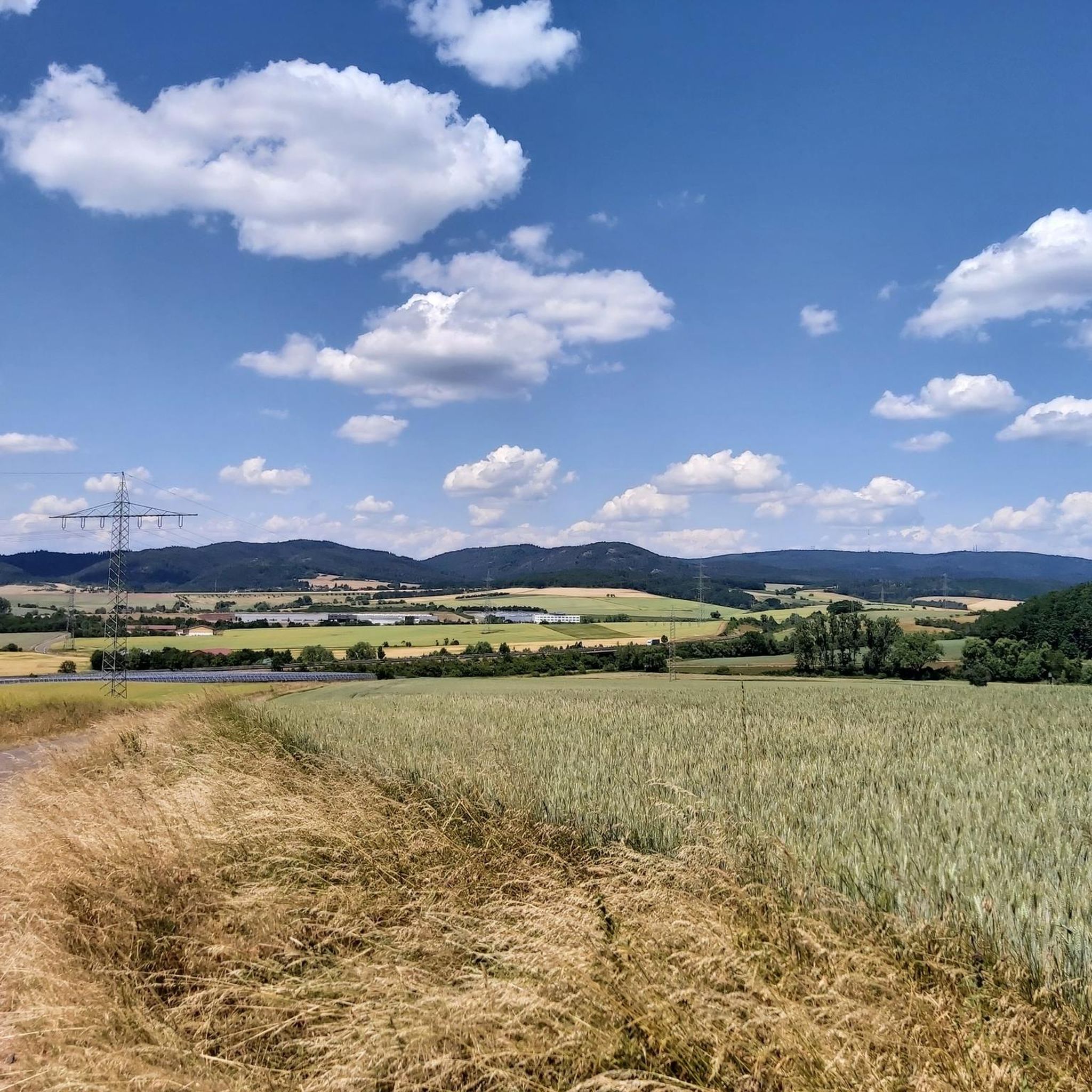
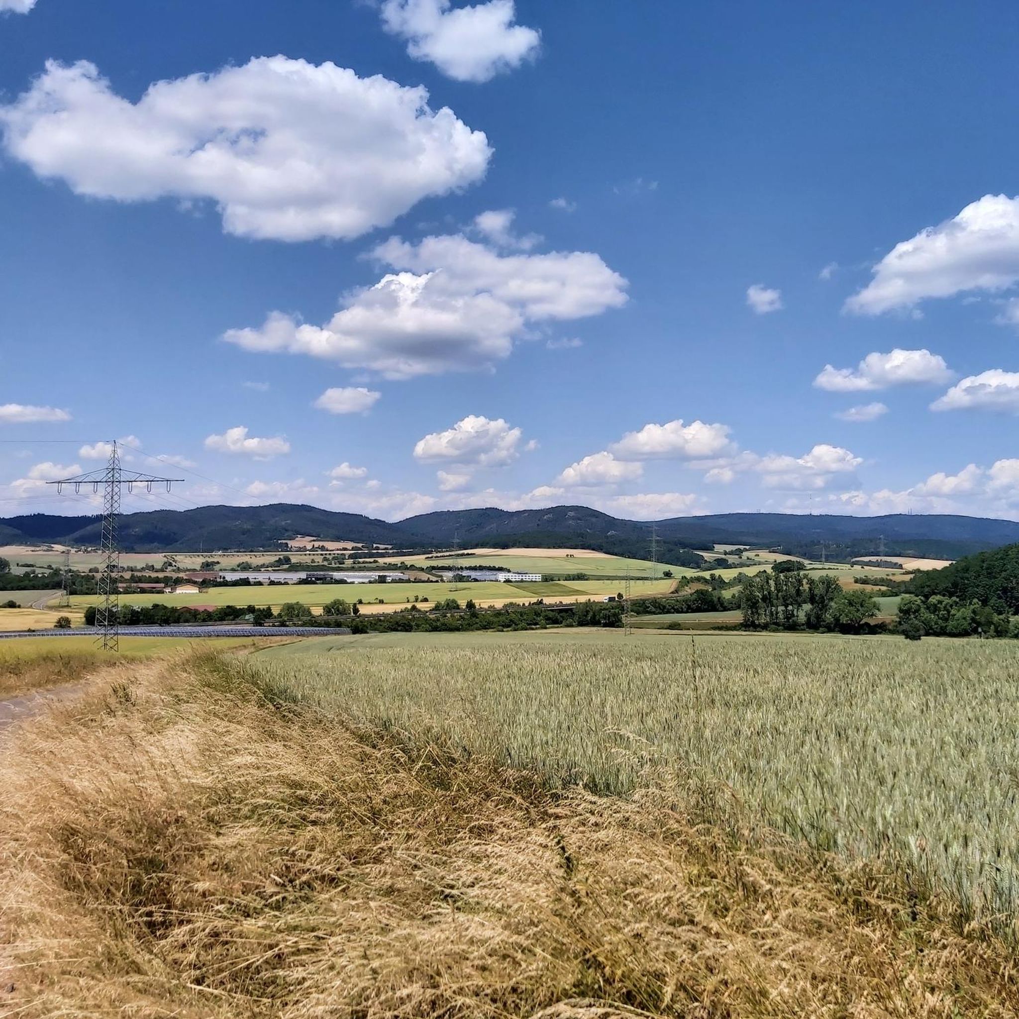
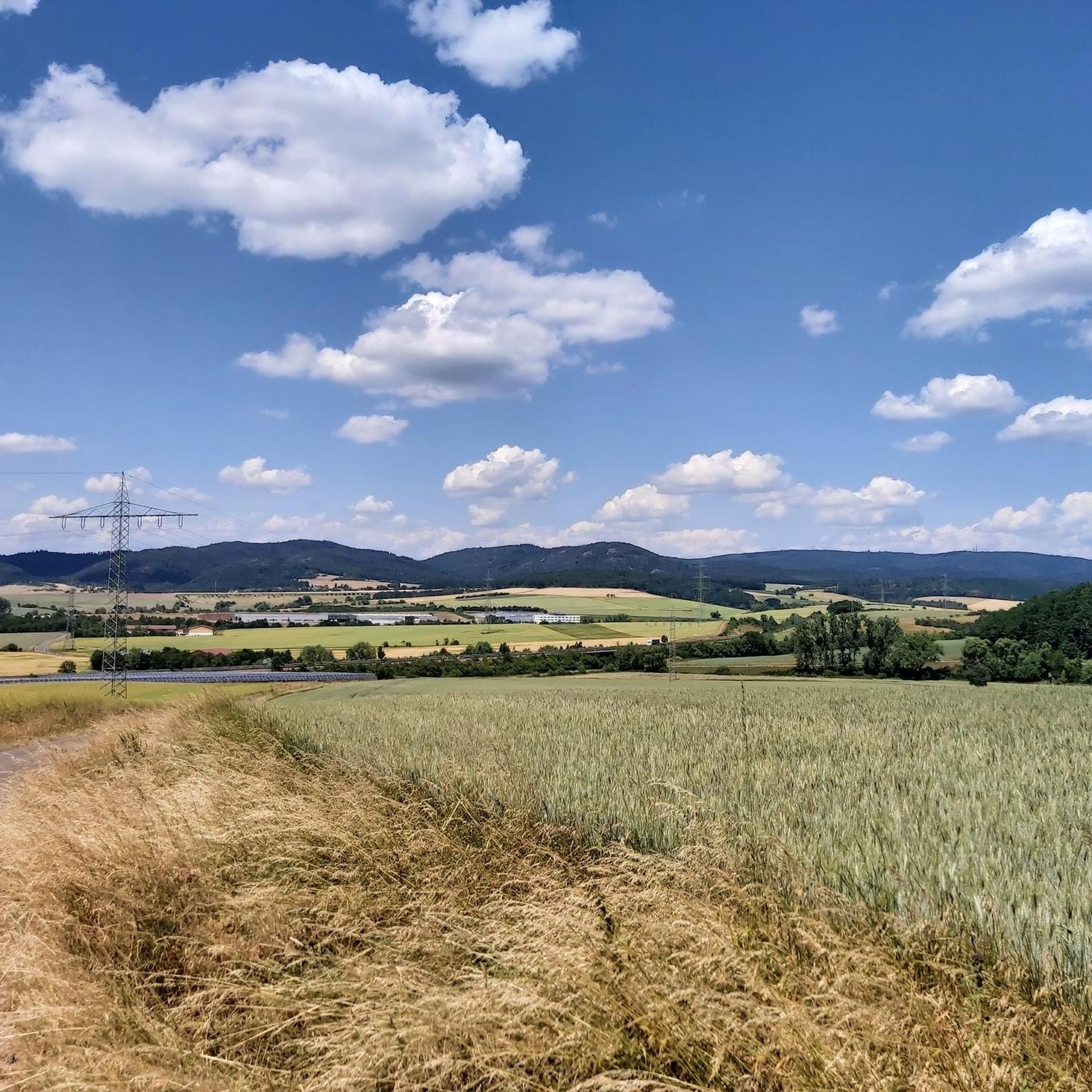
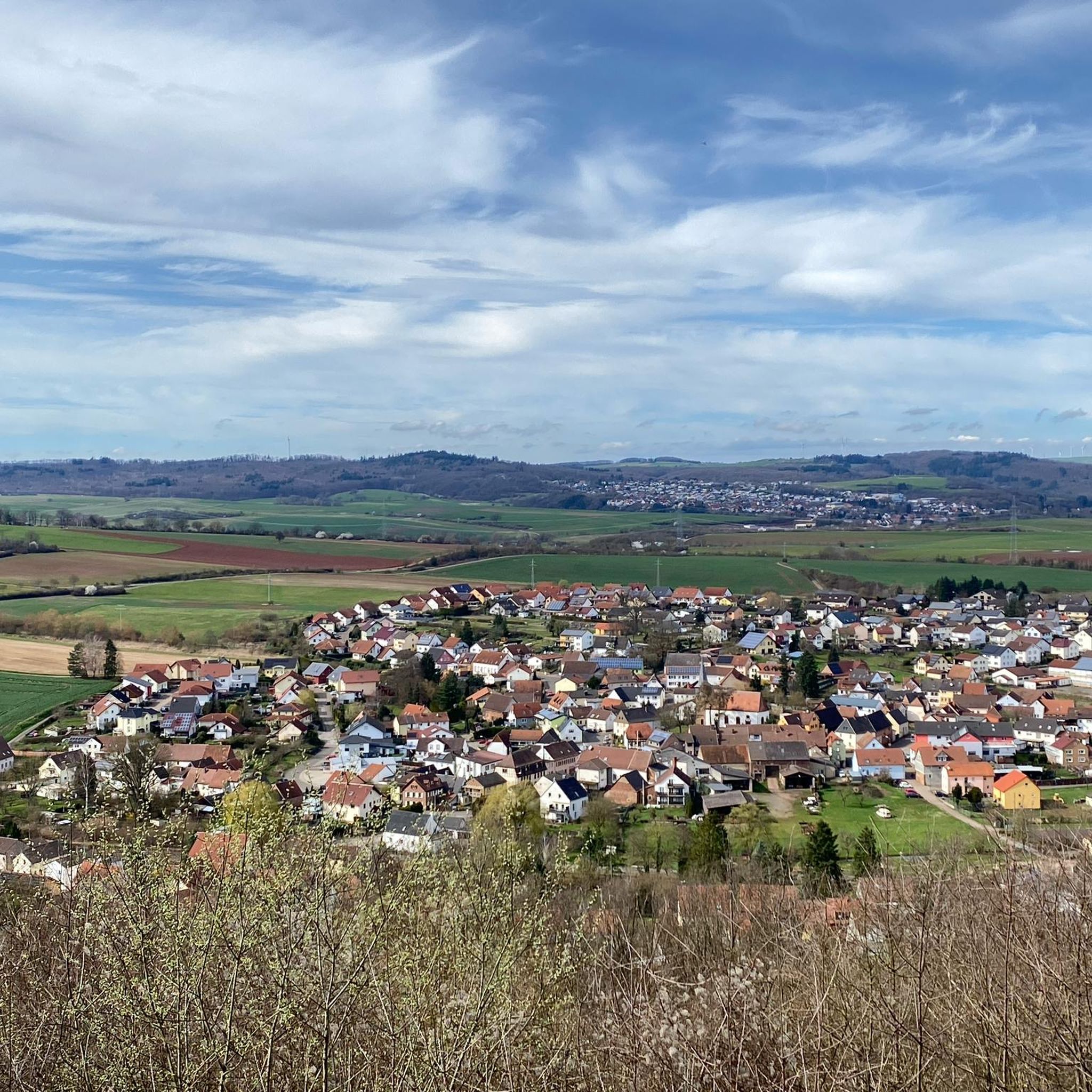
Road cycling around Münchweiler an der Alsenz is characterized by its location in the Alsenz valley, at the foot of the Donnersberg, and on the edge of the Palatinate Forest Nature Park. The terrain features a mix of rolling hills, green forests, fertile fields, and lush meadows. Cyclists can expect varied routes that traverse both the gentle Alsenz river valley and the more challenging ascents towards the Donnersberg. This diverse landscape provides a range of road cycling experiences.
Best road…
Last updated: July 9, 2026
4.8
(4)
71
riders
50.9km
02:15
450m
450m
Moderate road ride. Good fitness required. Mostly well-paved surfaces and easy to ride.
22
riders
47.5km
02:12
550m
550m
Moderate road ride. Good fitness required. Mostly well-paved surfaces and easy to ride.

Sign up for free
15
riders
64.9km
02:56
630m
630m
Moderate road ride. Good fitness required. Mostly well-paved surfaces and easy to ride.
5.0
(1)
15
riders
18.3km
00:47
100m
100m
Easy road ride. Great for any fitness level. Mostly well-paved surfaces and easy to ride.
10
riders
Moderate road ride. Good fitness required. Mostly well-paved surfaces and easy to ride.
Get access to more routes and recommendations from other explorers.
Sign up for free
Already have an account?
Our route recommendations are based on thousands of hikes, rides, and runs completed by other people on komoot.
Start today with a free account
Your next adventure awaits.
Login or Signup

Tips from the Community

nice place for a break
0
0
beautiful bridge leads in the direction of Alsenborn Radweg
0
0
beautiful Big Elephant to see
0
0
great board about elephant history
0
0
daily commute great bike path
1
0
beautiful church especially inside
0
0

Since 1951, the former Axer area has been part of the water protection zone of the upper Lauter. The inhabitants of the city of Kaiserslautern have been receiving their drinking water from this source ever since. The Ritterstein has therefore been located outside the fence of the water protection area on the hiking trail since 1995, no longer at the site of the Axer estate."
1
0
Frequently Asked Questions
What kind of terrain can I expect on road cycling routes around Münchweiler an der Alsenz?
The region offers a diverse landscape for road cyclists. You'll find a mix of rolling hills, green forests, fertile fields, and lush meadows. Routes traverse both the gentle Alsenz river valley and more challenging ascents towards the Donnersberg, providing varied experiences from leisurely rides to demanding climbs.
Are there any easy road cycling routes suitable for beginners or families?
Yes, there are options for all skill levels. Out of the 19 routes available, 4 are classified as easy. An example of a more gentle ride is the Eselsmühlweiher – Schwarzweiher loop from Münchweiler (Alsenz), which is under 20 km with minimal elevation gain. The Alsenz-Radweg, following the Alsenz river, also offers varied but generally gentler terrain.
Where can I find challenging road cycling routes with significant climbs?
For those seeking a challenge, routes heading towards the Donnersberg, the highest elevation in the Palatinate, offer significant ascents. The region features 4 difficult routes and 11 moderate routes with notable elevation gains. Routes like the Billes Pond – Billesweiher loop from Münchweiler (Alsenz), for instance, include over 600 meters of climbing.
What are some scenic viewpoints or natural features to look out for on road cycling routes?
The region is rich in natural beauty. You can enjoy panoramic views from the Donnersberg, including the Königsstuhl summit and the Ludwigsturm. The Aussichtspunkt Adlerbogen offers extensive views over the Zellertal and Worms. Routes like the View from Karlshöhe – Church in Palatinate loop from Münchweiler (Alsenz) specifically highlight scenic viewpoints. You might also encounter idyllic spots like the Retzbergweiher pond.
Are there any specific landmarks or attractions along the cycling paths?
Yes, several interesting landmarks and natural features can be found. Along some routes, you might pass by the Hirtenfels Viewpoint or the Retzberg Pond. The region also features gorges like the Falkenstein Gorge, though these might be more accessible from hiking trails nearby.
What is the best time of year for road cycling in Münchweiler an der Alsenz?
The region is generally pleasant for cycling from spring through autumn. The diverse landscape of forests, fields, and meadows is particularly beautiful during these seasons. For those interested in the Kneipp cycling route, warmer weather is ideal to enjoy the facilities.
Are there any loop routes available for road cyclists?
Yes, many of the road cycling routes around Münchweiler an der Alsenz are designed as loops, allowing you to start and end in the same location. Examples include the Schwarzweiher – Stall Climb loop from Münchweiler (Alsenz) and the View from Karlshöhe – Rauscher Mühle Quarry loop from Münchweiler (Alsenz).
What is the Alsenz-Radweg and is it suitable for road bikes?
The Alsenz-Radweg is a prominent cycling path that runs for about 50 kilometers through the picturesque Alsenz valley. While it offers a varied ride through hilly terrain, some segments might be unpaved. It's generally suitable for road bikes, but be prepared for potential mixed-terrain sections.
What do other cyclists say about the road cycling experience in Münchweiler an der Alsenz?
The area is highly rated by the komoot community, with an average score of 4.75 stars from over 9 reviews. Cyclists often praise the diverse terrain, the beautiful natural setting, and the well-developed network of paths that cater to various abilities.
Are there options for longer road cycling routes in the area?
Yes, you can find longer routes to explore. For example, the Billes Pond – Billesweiher loop from Münchweiler (Alsenz) covers nearly 65 kilometers, offering a substantial ride. The extensive network also allows for combining routes to create even longer tours.
Where can I find parking for my car when starting a road cycling route?
Münchweiler an der Alsenz, being a hub for outdoor activities, typically offers various parking options. While specific parking lots for cyclists are not detailed, you can usually find public parking in the town center or near popular trailheads, especially for routes starting directly from the village.
Can I access road cycling routes in Münchweiler an der Alsenz using public transport?
Münchweiler an der Alsenz is located in the Alsenz valley and is generally accessible by regional public transport, including train services. This allows cyclists to reach the starting points of routes without a car, though checking specific train schedules and bike carriage policies is advisable.
Most popular routes around Münchweiler an der Alsenz
Most popular attractions around Münchweiler an der Alsenz

Get inspired with the komoot mobile app


Explore more
Browse the best Road cycling routes in other regions.
