The best road cycling routes around Münchwald
4.7
(120)
1,411
riders
46
rides
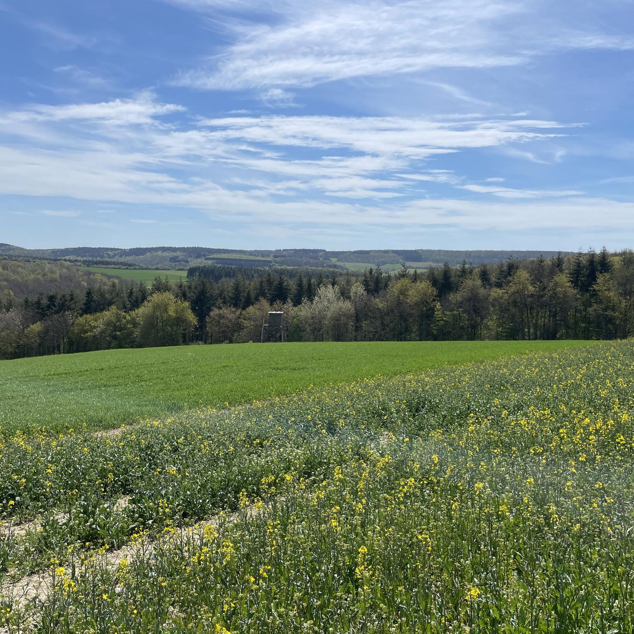
Road cycling routes around Münchwald are characterized by the hilly topography of the southern Hunsrück region in Rhineland-Palatinate, Germany. The area features diverse landscapes, including the Soonwald forest, deep valleys, and wooded ridges, providing varied terrain for cyclists. Elevated positions offer panoramic views over the surrounding countryside. This region is ideal for road cyclists seeking engaging routes with challenging ascents and descents.
Best road cycling routes around Münchwald
- The most popular road cycling route is Kneipp basin in Bockenau –…
Last updated: May 25, 2026
4.4
(30)
291
riders
39.5km
01:54
420m
420m
Moderate road ride. Good fitness required. Mostly well-paved surfaces and easy to ride.
5.0
(1)
18
riders
Moderate road ride. Good fitness required. Some segments of this route may be unpaved and difficult to ride.

Sign up for free
18
riders
Moderate road ride. Good fitness required. Mostly well-paved surfaces and easy to ride.
4.0
(1)
14
riders
Moderate road ride. Good fitness required. Mostly well-paved surfaces and easy to ride.
5.0
(6)
13
riders
Moderate road ride. Good fitness required. Mostly well-paved surfaces and easy to ride.
Get access to more routes and recommendations from other explorers.
Sign up for free
Already have an account?
Our route recommendations are based on thousands of hikes, rides, and runs completed by other people on komoot.
Start today with a free account
Your next adventure awaits.
Login or Signup
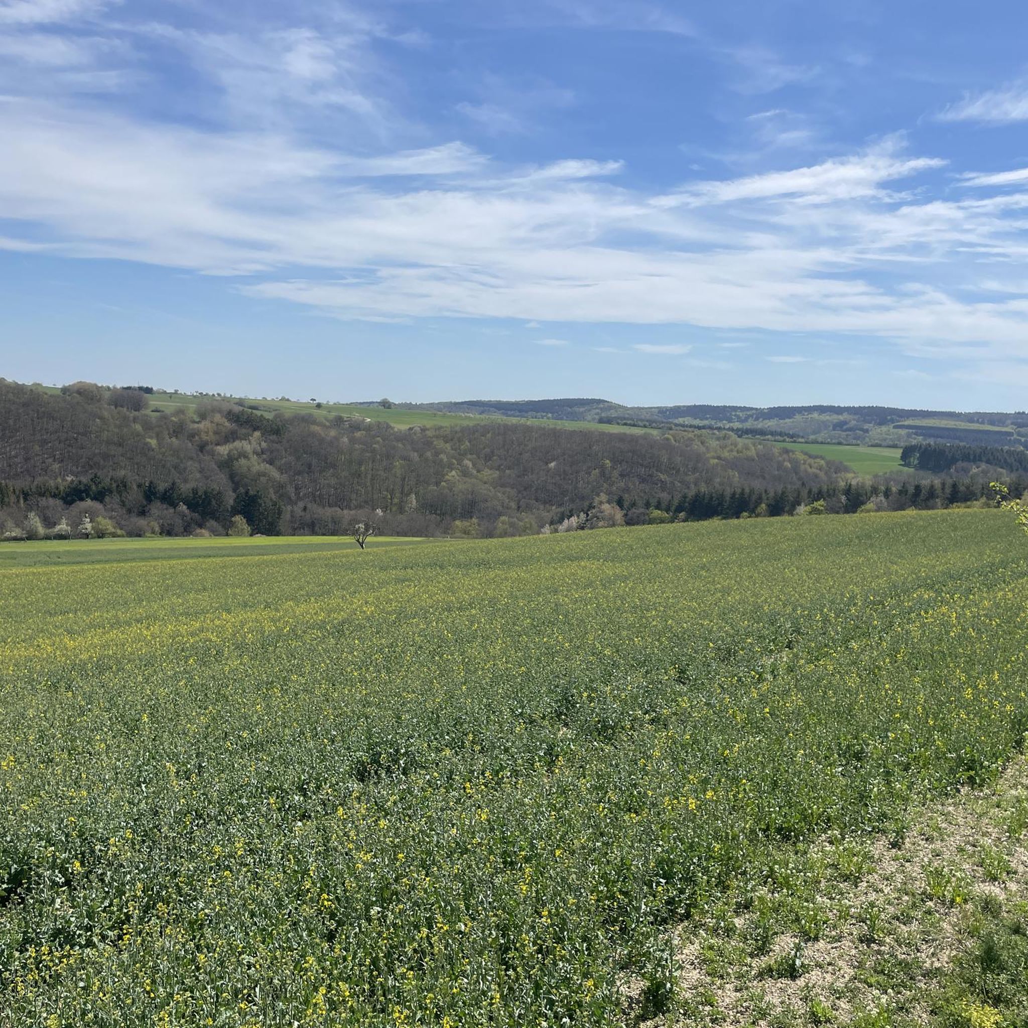
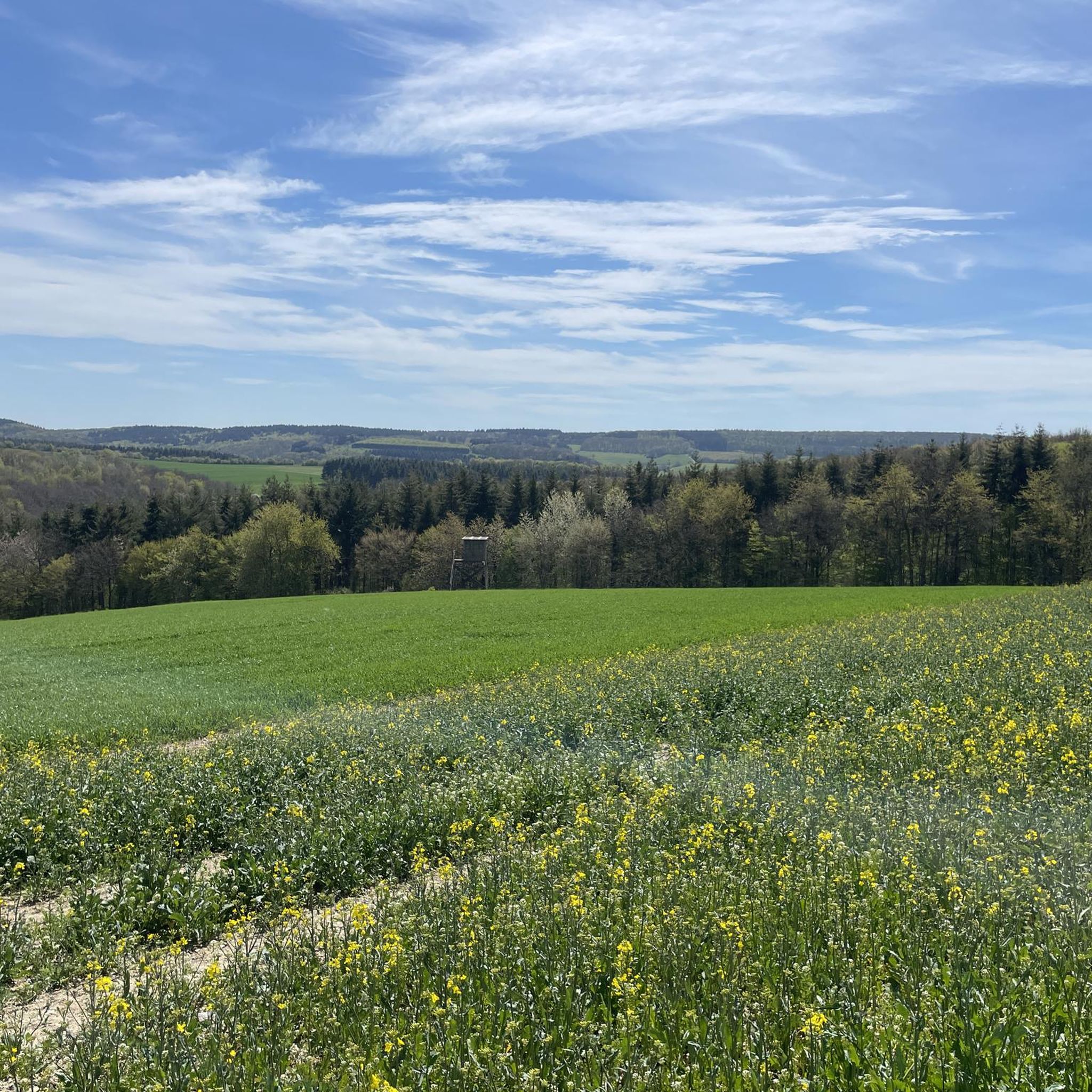
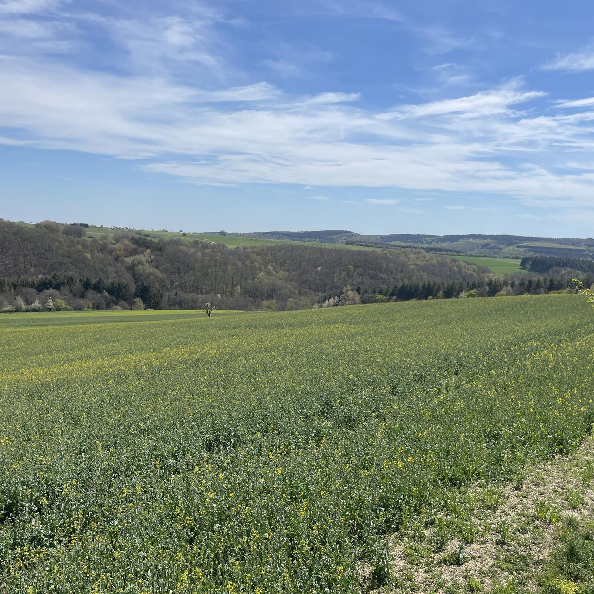
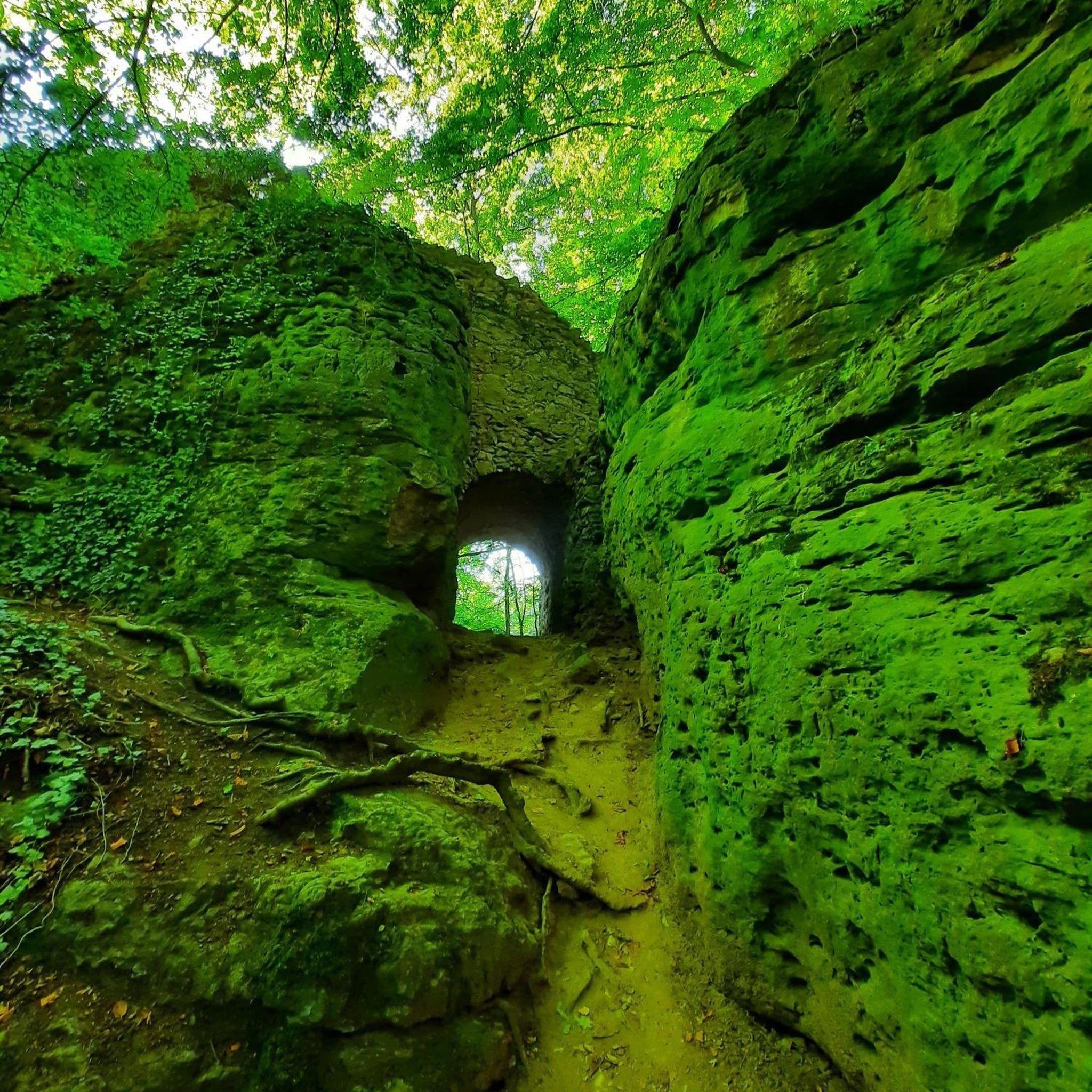
Tips from the Community

A very nice area for biking.
0
0

This castle ruin is located directly above Dalberg. Covered rest areas are available right next to the castle.
0
0

Beautiful small and open chapel
1
0

In the village of Dalburg at the Chapel of St. Leonard there is another meditation panel on the Hildegardweg (panel 46: “The triple wall”).
2
0
Beautiful cycle path between Mengerschied and Tiefenbach
0
0
Very cool way for biking
0
0
Very nice route for biking
0
0
Great corner for biking whether road bike or MTB
0
0
Frequently Asked Questions
What is the typical terrain like for road cycling around Münchwald?
Road cycling around Münchwald is characterized by the hilly topography of the southern Hunsrück region. You can expect diverse landscapes, including the dense Soonwald forest, deep valleys with natural streams, and wooded ridges. This varied terrain provides engaging routes with both challenging ascents and descents, often rewarding cyclists with panoramic views over the wide countryside.
Are there road cycling routes for different skill levels in Münchwald?
Yes, the Münchwald area offers road cycling routes suitable for various skill levels. Out of 49 available routes, you'll find 8 easy routes, 36 moderate routes, and 5 difficult routes, ensuring options for beginners to experienced cyclists seeking a challenge.
What kind of landmarks or scenic viewpoints can I expect to see on road cycling routes near Münchwald?
Road cycling routes near Münchwald often lead past interesting landmarks and offer scenic viewpoints. You might encounter historic sites like the View of Gutenberg Castle Ruins or enjoy expansive vistas such as the View of the Nahe Valley. Other notable viewpoints include Hochsteinchen lookout tower and Weissenfels Viewpoint, providing stunning panoramas of the Hunsrück region.
Are there circular road cycling routes available around Münchwald?
Yes, all road cycling routes listed for the Münchwald area are designed as circular loops. This allows you to start and finish your ride at the same point, making planning your cycling trip more convenient. Examples include the Kneipp basin in Bockenau – Soonwald-Nahe Cycle Path loop from Winterbach and the Gicht Bridge Gräfenbacher Hütte loop from Spabrücken.
Is there parking available for cyclists in Münchwald?
While specific designated cycling parking areas in Münchwald are not detailed, as a state-recognized tourism community, Münchwald and its surrounding villages typically offer public parking options suitable for visitors. It's advisable to check local signage upon arrival for the most convenient spots to park your vehicle.
How can I reach Münchwald by public transport with my bike?
Münchwald is situated in a rural area, and direct public transport connections that accommodate bikes might be limited. For detailed information on public transport options to Münchwald and policies regarding bicycle transport, it is recommended to consult the local transport authority websites or regional bus schedules, as these can vary.
Where can cyclists find refreshments or accommodation in Münchwald and nearby?
Münchwald and its surrounding villages offer options for refreshments and accommodation. You can find various huts and shelters, some with services, such as the Köhlerhütte shelter with drink service or the Bockenau Kiosk. For more substantial meals or overnight stays, exploring the charming historic villages in the wider Hunsrück and Nahe Valley regions will provide cafes, pubs, and guesthouses catering to visitors.
What do other road cyclists enjoy the most about road cycling in Münchwald?
The road cycling routes in Münchwald are highly rated by the komoot community, with an average score of 4.7 stars from over 100 reviews. Cyclists often praise the varied Hunsrück scenery, the engaging mix of ascents and descents, and the opportunity to explore both natural beauty and historic landscapes.
Are there any family-friendly road cycling routes in Münchwald?
Yes, among the 49 routes available, there are 8 easy road cycling routes around Münchwald that could be suitable for families. These routes typically feature less elevation gain and shorter distances, providing a more relaxed experience for cyclists of all ages. Always check the specific route details for distance and elevation to ensure it matches your family's capabilities.
When is the best time of year for road cycling in Münchwald?
The best time for road cycling in Münchwald and the Hunsrück region is generally from spring through autumn. During these seasons, the weather is more favorable, and the natural landscapes, including the Soonwald forest and wine-growing areas, are at their most picturesque. Always check local weather forecasts before heading out.
Can I find longer road cycling routes near Münchwald for extended tours?
Yes, while many routes are moderate in length, the region offers options for longer rides. For example, the Jäger aus Kurpfalz Monument – View of the Nahe Valley loop from Spabrücken covers 30.1 miles (48.5 km) with significant elevation, providing a more extended and challenging experience. The interconnected nature of the Hunsrück cycling trails also allows for combining routes to create longer tours.
Are there any specific challenges for road cyclists in the Münchwald area?
The primary challenge for road cyclists in the Münchwald area stems from its distinctly hilly topography. Routes often feature significant elevation gains and descents, requiring good fitness and appropriate gearing. The varied terrain, including wooded sections and deep valleys, means you should be prepared for changing road conditions and gradients.
Most popular attractions around Münchwald

Get inspired with the komoot mobile app


Explore more
Browse the best Road cycling routes in other regions.
