The best road cycling routes around Mörschwang
4.6
(214)
3,356
riders
240
rides
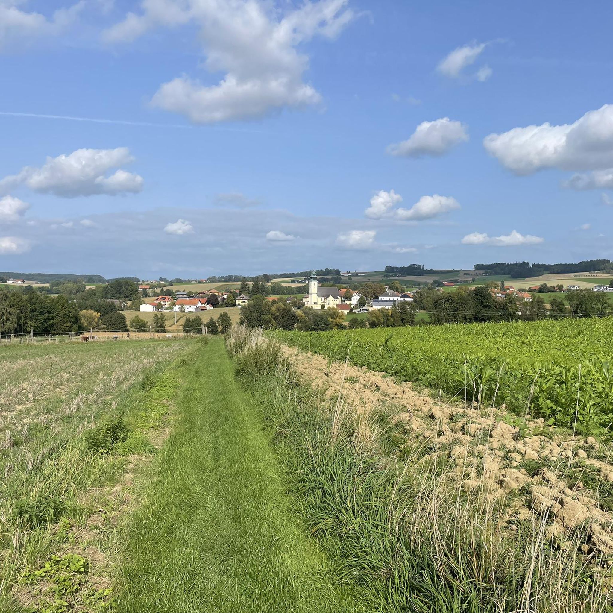
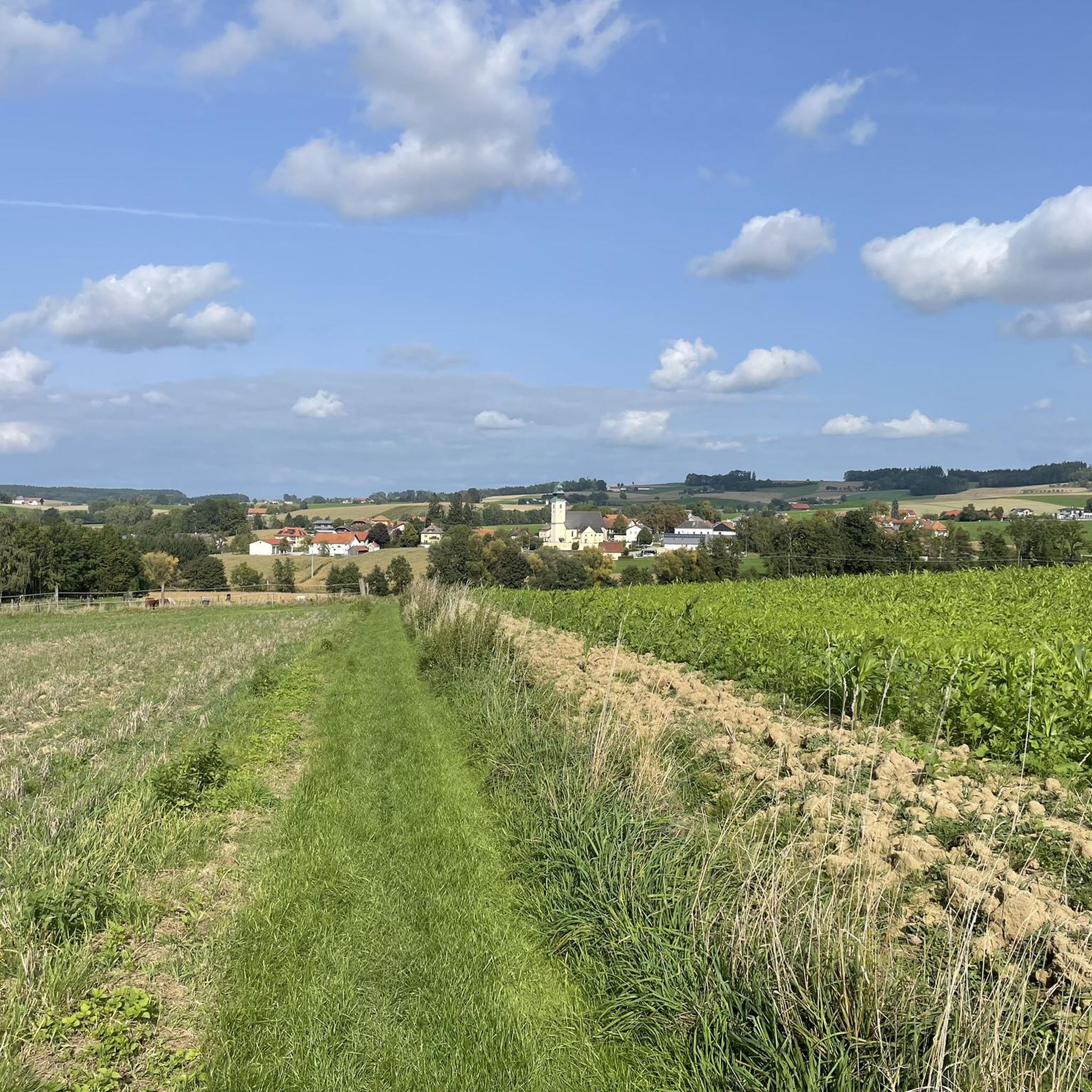
Road cycling routes around Mörschwang traverse a landscape characterized by the Innviertel region's rolling hills and river valleys. The area features a mix of agricultural land, small villages, and sections along the Inn River. Elevations are generally moderate, with routes offering gradual ascents and descents suitable for road biking. The terrain includes open stretches and occasional forested areas, providing varied scenery for cyclists.
Best road cycling routes around Mörschwang
- The most popular road cycling route is Reichersberg Abbey – Obernberg…
Last updated: July 1, 2026
30
riders
Easy road ride. Great for any fitness level. Mostly well-paved surfaces and easy to ride.
5.0
(1)
29
riders
Easy road ride. Great for any fitness level. Mostly well-paved surfaces and easy to ride.

Sign up for free
4.0
(1)
14
riders
32.4km
01:31
210m
210m
Easy road ride. Great for any fitness level. Mostly well-paved surfaces and easy to ride.
8
riders
Moderate road ride. Good fitness required. Mostly well-paved surfaces and easy to ride.
6
riders
Moderate road ride. Good fitness required. Mostly well-paved surfaces and easy to ride.
Get access to more routes and recommendations from other explorers.
Sign up for free
Already have an account?
Our route recommendations are based on thousands of hikes, rides, and runs completed by other people on komoot.
Start today with a free account
Your next adventure awaits.
Login or Signup

Tips from the Community

Beautiful house on the market square
2
0
Ried im Innkreis is a town in western Upper Austria with 12,766 inhabitants, located approximately 80 kilometers west of Linz and 60 kilometers northeast of Salzburg. It is the district capital of the Ried district and a regional center within the Innviertel region. It is also the center of the Ried im Innkreis judicial district.
2
0
Ried is situated in the heart of the Innviertel hill country, in a depression of the Alpine foothills north of the Hausruck Forest. The town's name derives from the Middle High German word "Riet" (also: "Rieth," "Reet," "Rohr," and similar terms), meaning reeds growing on riverbanks and marshy ground. A spot where the gradient of the two rivers, Oberach and Breitsach, slowed and saturated the soil gave the town its name. The two rivers converge north of the old town to form the Rieder Bach, a stream that flows for 2.6 kilometers before emptying into the Antiesen River outside the town limits. Ried im Innkreis lies at an altitude of 433 meters. It extends 3.2 kilometers from north to south and 3.6 kilometers from west to east, covering a total area of 6.7 square kilometers.
3
0
Ried im Innkreis is a town in western Upper Austria with 12,766 inhabitants, located approximately 80 kilometers west of Linz and 60 kilometers northeast of Salzburg. It is the district capital of the Ried district and a regional center within the Innviertel region. It is also the center of the Ried im Innkreis judicial district.
2
0

The town square and the brewery and tanner's house in Ried im Innkreis.
0
0
The parish church of Kirchdorf am Inn is located in the municipality of Kirchdorf am Inn in Upper Austria. It is the Roman Catholic parish church of the Assumption of Mary.
0
0

The main square in Ried im Innkreis is the vibrant heart of the town and offers a variety of activities for locals and visitors. Here are some interesting facts about the main square: 1. Lively atmosphere: - The main square is a central meeting place where the town's life takes place. Here you will find numerous cafés, restaurants, and shops that invite you to linger. 2. Cultural events: - The square is often the venue for various events and festivals that enrich Ried's cultural life. These include markets, concerts, and other festivities. 3. Architecture: - Surrounded by historic buildings, the main square features an interesting mix of traditional and modern architecture, reflecting the town's history. 4. Webcam: - There is a live webcam that shows the main square and provides current images of the lively scenery. This is a great way to experience the atmosphere of the square in real time. 5. **Contact Information**: - For more information about events or activities at the main square, you can contact the municipality of Ried im Innkreis. Contact details can usually be found on the municipality's official website. The main square in Ried im Innkreis is therefore a lively place that has much to offer both locals and tourists.
1
0

beautiful city, always good for a beer 👍
0
0
Frequently Asked Questions
How many road cycling routes are available around Mörschwang?
There are over 250 road cycling routes available around Mörschwang, catering to various skill levels. This includes more than 50 easy routes, nearly 180 moderate routes, and over 20 challenging options for experienced cyclists.
Are there easy road cycling routes suitable for beginners in Mörschwang?
Yes, Mörschwang offers many easy road cycling routes perfect for beginners. An excellent option is the Aurolzmünster Castle – Main Square, Ried im Innkreis loop from St. Martin im Innkreis, which is 16.6 miles (26.7 km) long and relatively flat, passing through cultural landmarks and town centers.
What about more challenging road cycling routes around Mörschwang?
For those seeking a challenge, Mörschwang has over 20 difficult routes. A good moderate option that offers some elevation gain is the Stelzhamer House – Prameter Swimming Lake loop from St. Martin im Innkreis, covering nearly 60 km with over 500 meters of ascent.
What is the typical length of road cycling routes in the Mörschwang area?
Road cycling routes in Mörschwang vary significantly in length. You'll find shorter rides like the 16.6-mile (26.7 km) Aurolzmünster Castle – Main Square, Ried im Innkreis loop, up to longer excursions such as the 42.6-mile (68.6 km) Obernberg am Inn Market Square – Aigen am Inn town center loop.
When is the best time of year to go road cycling in Mörschwang?
The best time for road cycling in Mörschwang is generally from spring through autumn. During these seasons, the weather is typically mild, and the agricultural landscapes and river valleys are at their most scenic. Always check local weather forecasts before heading out.
Are there places to stop for refreshments along the road cycling routes?
Yes, many road cycling routes in Mörschwang pass through small villages and market towns where you can find cafes, restaurants, and shops for refreshments. Routes often connect places like Obernberg am Inn Market Square or Aigen am Inn town center, providing convenient stops.
What can I see along the road cycling routes around Mörschwang?
Road cycling routes around Mörschwang offer a mix of cultural and natural sights. You can explore historical sites like Reichersberg Abbey, visit charming market squares such as Obernberg am Inn Market Square, or cycle along the Inn Dam Path in Unterer Inn Nature Reserve.
Are there circular road cycling routes available in Mörschwang?
Yes, many road cycling routes in Mörschwang are designed as loops, allowing you to start and end at the same point. For example, the popular Reichersberg Abbey – Obernberg am Inn Market Square loop from St. Martin im Innkreis is a circular route that takes you along the Inn River.
What do other road cyclists enjoy the most about road cycling in Mörschwang?
The road cycling experience in Mörschwang is highly rated by the komoot community, with an average score of 4.6 stars. Reviewers often praise the varied terrain, which includes rolling hills and river valleys, as well as the charming agricultural landscapes and small villages that provide a scenic backdrop for rides.
Where can I park when starting a road cycling tour in Mörschwang?
Many road cycling routes in the Mörschwang area begin from towns like St. Martin im Innkreis or Obernberg am Inn. These locations typically offer public parking facilities suitable for starting your tour. It's advisable to check local parking options in your chosen starting village.
Are there any natural monuments or unique natural features to see?
Yes, the region around Mörschwang features several natural monuments. You might encounter impressive trees like the Moor Oak in Bad Füssing or the Thousand-Year-Old Linden. The Stoppweiher Kiesgrube Nature Reserve also offers interesting natural landscapes.
Can I find routes that pass through rural villages?
Absolutely. The road cycling network in Mörschwang is characterized by routes that connect numerous rural villages. For instance, the Antiesenhofen Village – Hoher Schachen loop from St. Martin im Innkreis is a great example, leading you through picturesque countryside and local communities.
Most popular attractions around Mörschwang

Get inspired with the komoot mobile app


Explore more
Browse the best Road cycling routes in other regions.
