The best walks and hikes around Nettersheim
4.6
(3933)
15,051
hikers
420
hikes
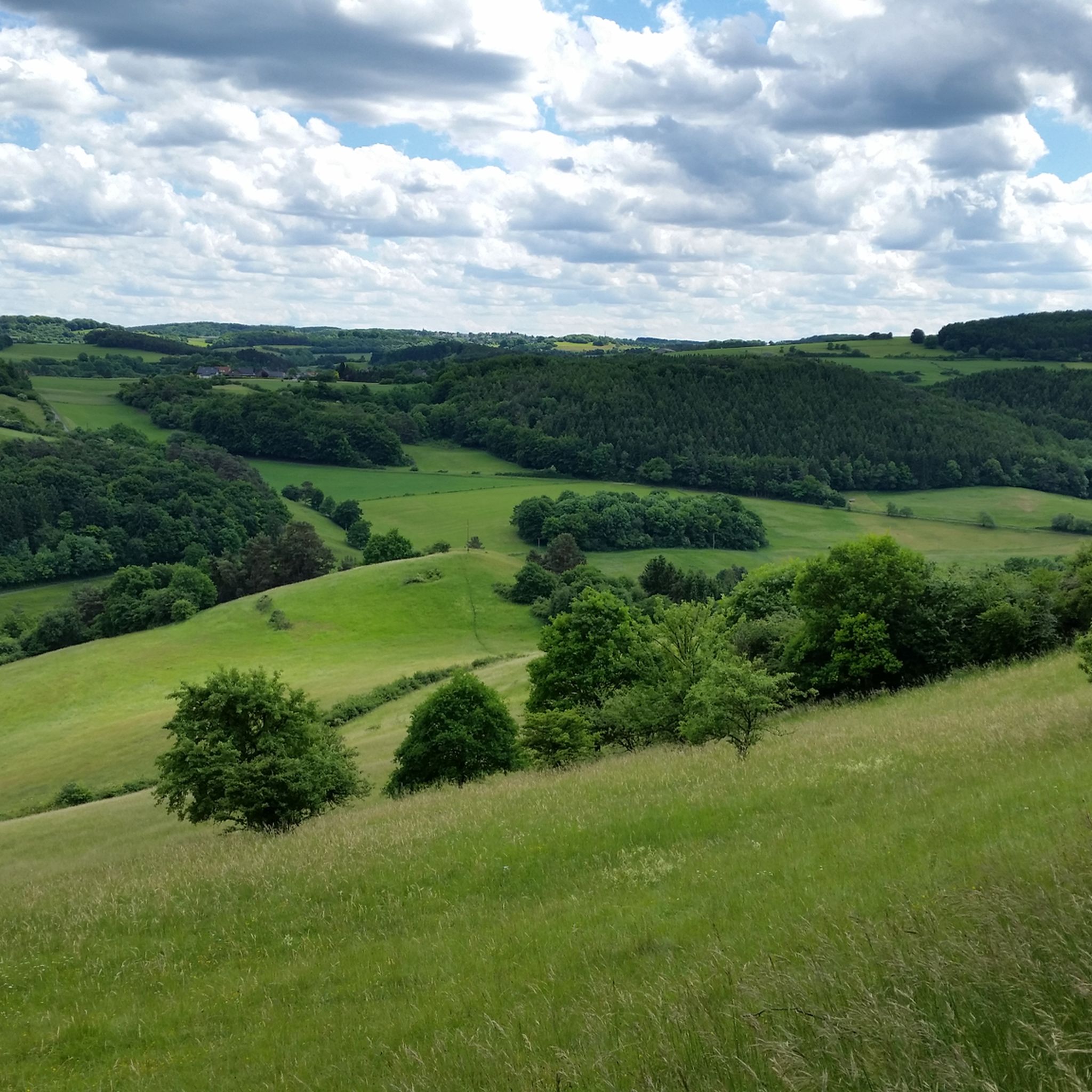
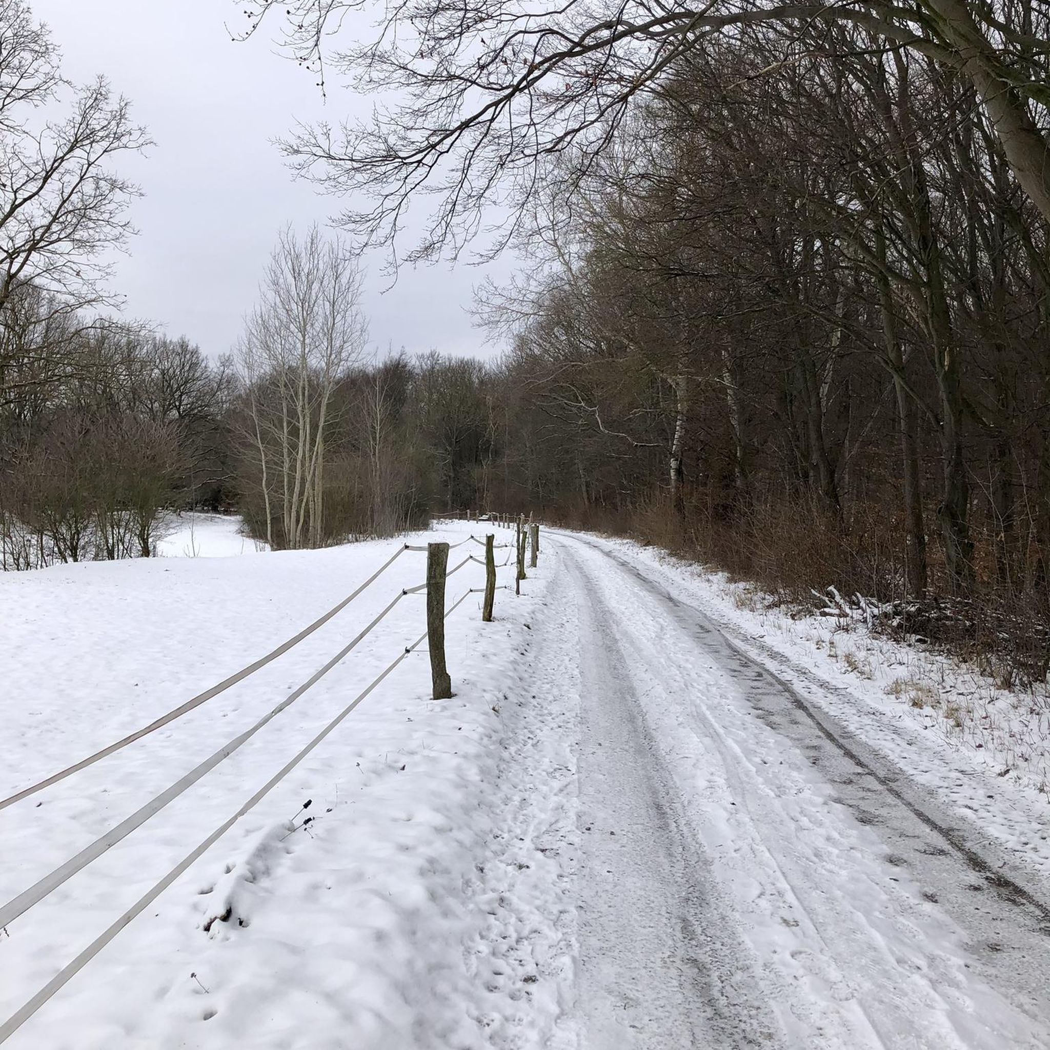
Hiking around Nettersheim offers diverse natural landscapes within the North Eifel adventure region. The municipality features extensive forested areas, covering nearly half of its land, and is situated between the Urft and Erft rivers. Hikers encounter varied terrain, including wide floodplains, deeply cut valleys, and numerous springs, alongside unique geological formations. The region's elevation changes are moderate, providing accessible routes through its natural and historical sites.
Best hiking trails around Nettersheim
- The most popular hiking route is Entrance to Steinfeld Abbey – Galgenberg Ancient Tree loop from Marmagen, a 6.6 miles (10.7 km) trail that takes about 2 hours 58 minutes to complete, offering views of ancient trees and historical sites.
- Another top favourite among local hikers is Woodland Music Picnic Shelter – Sacred Heart Monastery, Nettersheim loop from Nettersheim, a moderate 5.0 miles (8.0 km) path. This route leads through woodlands and past the Sacred Heart Monastery, typically completed in about 2 hours 10 minutes.
- Local hikers also love the Grüner Pütz — Roman springhead – Gillesbach Bridge Crossing loop from Nettersheim, a 10.4 miles (16.7 km) trail leading through varied landscapes including the Roman springhead, often completed in about 4 hours 38 minutes.
- Hiking around Nettersheim is defined by cool forests, fragrant meadows, and deeply cut valleys, with options available for various ability levels.
- The routes in Nettersheim are highly rated by the komoot community with an average score of 4.6 stars from over 3,000 reviews. More than 13,000 hikers have used komoot to explore Nettersheim's varied terrain.
Last updated: October 3, 2026
4.6
(373)
1,376
hikers
Hard hike. Very good fitness required. Easily-accessible paths. Suitable for all skill levels.
4.6
(226)
814
hikers
Moderate hike. Good fitness required. Easily-accessible paths. Suitable for all skill levels.

4.6
(153)
560
hikers
Moderate hike. Good fitness required. Easily-accessible paths. Suitable for all skill levels.
4.7
(102)
321
hikers
16.7km
04:38
310m
310m
Moderate hike. Good fitness required. Easily-accessible paths. Suitable for all skill levels.
4.3
(107)
366
hikers
14.8km
04:04
240m
240m
Moderate hike. Good fitness required. Easily-accessible paths. Suitable for all skill levels.
Get access to more routes and recommendations from other explorers.
Already have an account?
Our route recommendations are based on thousands of hikes, rides, and runs completed by other people on komoot.
Start today with a free account
Your next adventure awaits.

Tips from the Community

Early in the morning, forest bathing above the Kakushöhle cave does you a lot of good.
3
0


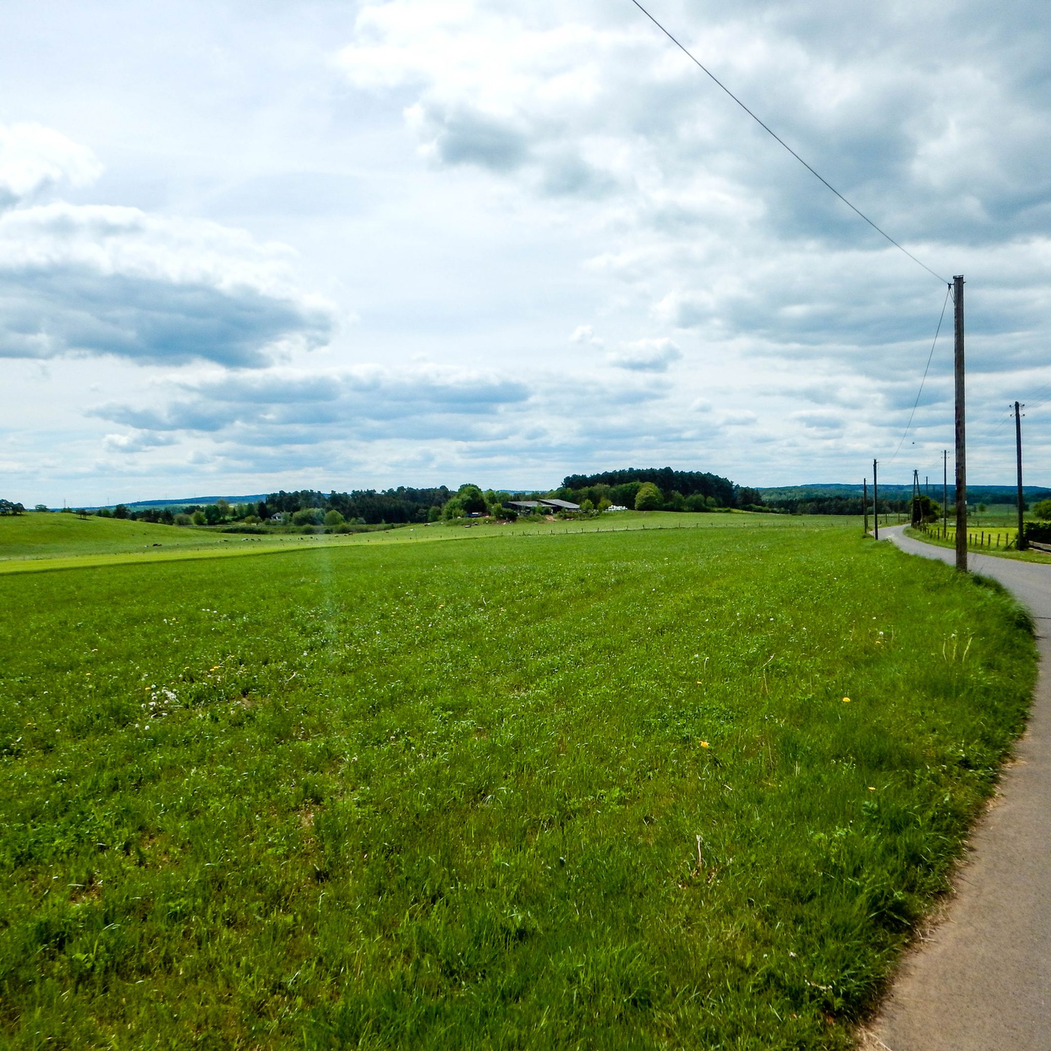
Very good valley for hiking and cycling. The paths lead to all villages. You can reach Nettersheim, Blankenheim, Tondorf etc. from here without any problems. All paths are paved. Tar or gravel.
0
0
From there, it is ideal to hike or cycle to the Roman excavations in Nettersheim. The paths are firm and very easy in terms of profile.
1
0
Frequently Asked Questions
How many hiking trails are available in Nettersheim?
Nettersheim offers a wide variety of hiking experiences with over 400 routes recorded on komoot. These include 229 easy, 176 moderate, and 23 difficult trails, ensuring options for all skill levels.
What kind of natural landscapes can I expect to see while hiking in Nettersheim?
Hikers in Nettersheim will discover diverse natural beauty, from cool forests and fragrant meadows to wide floodplains and deeply cut valleys. The region is nestled between the Urft and Erft rivers and features unique geological formations like the Kakus Cave. You can also find numerous springs, including those of the Ahr and Urft rivers.
Are there any long-distance hiking trails that pass through Nettersheim?
Yes, Nettersheim is a key point on several significant long-distance trails. The renowned Eifelsteig passes through the Urft Valley, and the Römerkanal-Wanderweg (Roman Aqueduct Hiking Trail) traces the ancient Roman Eifel water conduit from Nettersheim towards Cologne-Sülz, blending natural beauty with historical significance.
What historical or cultural attractions can I explore on a hike in Nettersheim?
Nettersheim is rich in history. You can explore the Kakus Cave and Kartstein Cliffs, or visit the Steinfeld Monastery. The region also features an Archaeological Landscape Park where you can walk through ancient Roman settlements. The Grüner Pütz — Roman springhead is another historical highlight accessible via a dedicated loop trail.
Are there family-friendly hiking options in Nettersheim?
Yes, Nettersheim offers several routes suitable for families. The Archaeological Landscape Park, for instance, has a 4km circular trail that is easy to navigate and offers educational programs. Many of the region's easy and moderate trails, like the Woodland Music Picnic Shelter – Sacred Heart Monastery loop, are also great for families looking for a pleasant outdoor experience.
Can I find circular hiking routes in Nettersheim?
Absolutely. Many of Nettersheim's trails are designed as circular routes, allowing you to start and end at the same point. Examples include the Entrance to Steinfeld Abbey – Galgenberg Ancient Tree loop and the Römerweiher – Genfbach Valley loop, which offer varied scenery and points of interest.
What do other hikers say about the trails in Nettersheim?
The hiking trails in Nettersheim are highly regarded by the komoot community, holding an average rating of 4.6 stars from over 3,000 reviews. Hikers often praise the region's diverse natural landscapes, well-maintained paths, and the blend of nature with historical sites.
Is it possible to reach hiking trails in Nettersheim using public transport?
Yes, Nettersheim benefits from direct railway connections, making it accessible via public transport. This allows hikers an environmentally friendly way to arrive and depart, connecting easily to various trailheads throughout the region.
Are there any unique geological features to see on the trails?
Nettersheim is home to fascinating geological formations. The Kakus Cave and Kartstein Cliffs are notable examples, offering a glimpse into the region's ancient past. These features are often integrated into hiking routes, providing unique points of interest.
Where can I find information about the Eifel Nature Centre in Nettersheim?
The Naturzentrum Eifel (Eifel Nature Centre) in Nettersheim is an educational center focused on the region's natural history. It is a great starting point for understanding the local environment and often connects to hiking trails, including the Archaeological Landscape Park. You can find more details about the municipality and its attractions on the Nordeifel Tourism website.
Are there any castles or notable landmarks nearby that I can visit after a hike?
Beyond the trails, you can visit Satzvey Castle, a well-preserved moated castle that often hosts medieval events. The Katzensteine Sandstone Rock Formation is another natural landmark worth exploring.
What are the typical terrain conditions for hiking in Nettersheim?
The terrain in Nettersheim is varied, featuring cool forests, fragrant meadows, and deeply cut valleys. While some paths might be rugged, the region's elevation changes are generally moderate, making many routes accessible. You'll encounter a mix of forest paths, riverside trails, and open field tracks.
Most popular routes around Nettersheim
Most popular attractions around Nettersheim

Get inspired with the komoot mobile app


Explore more
Browse the best Hikes in other regions.
