The best walks and hikes around Montilliez
4.4
(337)
2,634
hikers
232
hikes
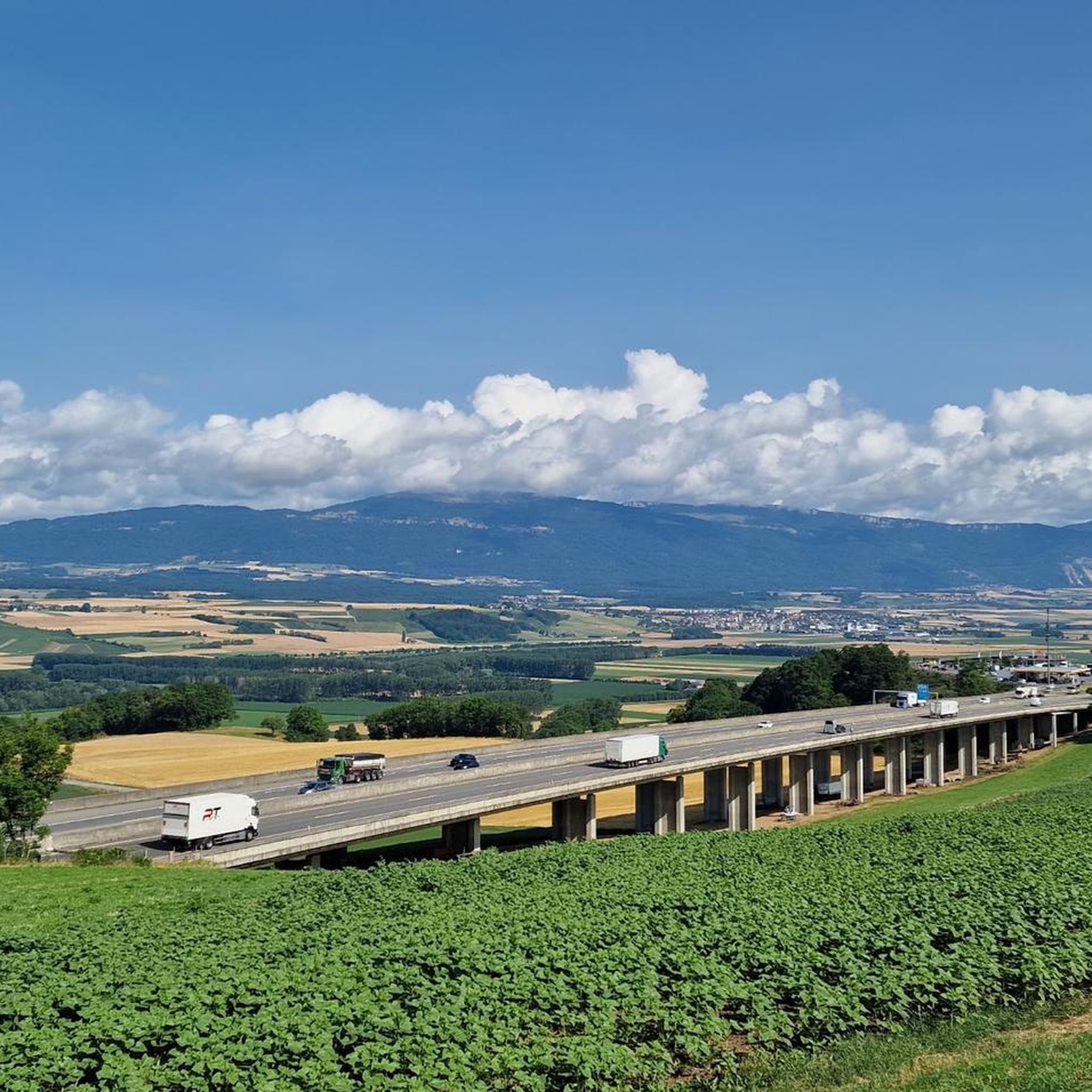
Hiking around Montilliez offers access to the varied landscapes of the Vaud canton, characterized by rolling hills, agricultural plains, and forested areas. The region is situated within the Gros-de-Vaud district, providing a network of trails that traverse valleys and offer views of the surrounding countryside. While Montilliez itself is a smaller commune, its proximity to Lake Geneva and the pre-Alps influences the diverse terrain available for outdoor activities.
Best hiking trails around Montilliez
- The most popular hiking route is Brigands…
Last updated: July 6, 2026
4.9
(28)
289
hikers
Easy hike. Great for any fitness level. Easily-accessible paths. Suitable for all skill levels.
4.4
(5)
44
hikers
Easy hike. Great for any fitness level. Easily-accessible paths. Suitable for all skill levels.

Sign up for free
4.5
(2)
27
hikers
7.48km
02:02
110m
110m
Moderate hike. Good fitness required. Easily-accessible paths. Suitable for all skill levels.
26
hikers
Moderate hike. Good fitness required. Easily-accessible paths. Suitable for all skill levels.
4.0
(1)
43
hikers
Easy hike. Great for any fitness level. Easily-accessible paths. Suitable for all skill levels.
Get access to more routes and recommendations from other explorers.
Sign up for free
Already have an account?
Our route recommendations are based on thousands of hikes, rides, and runs completed by other people on komoot.
Start today with a free account
Your next adventure awaits.
Login or Signup
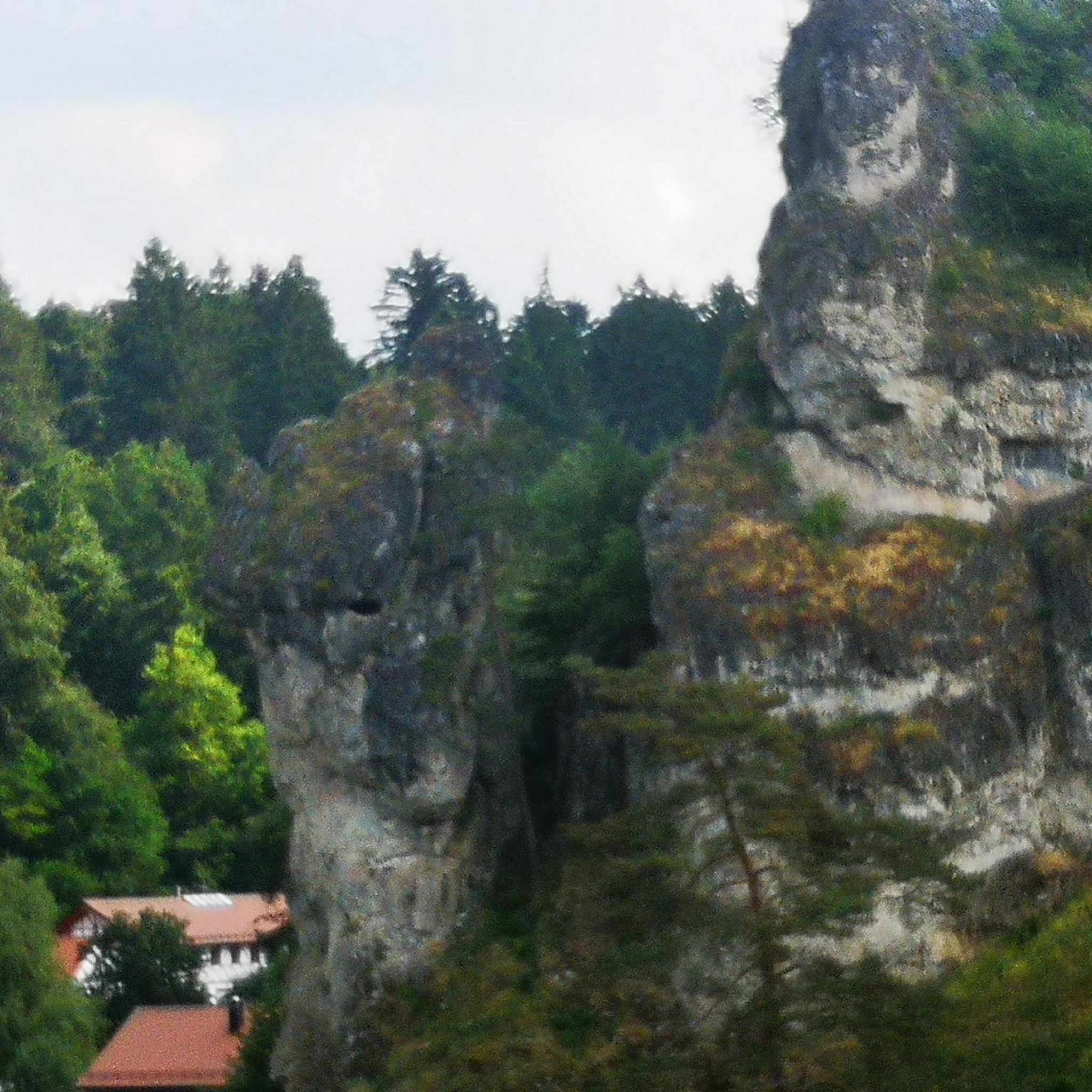
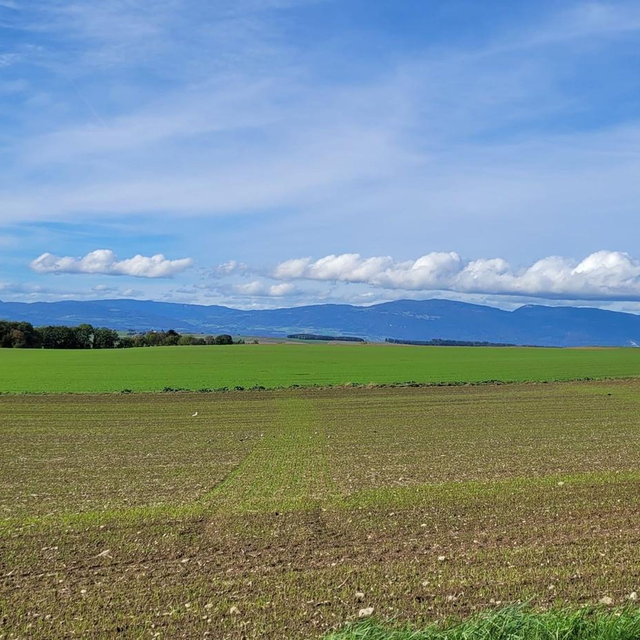
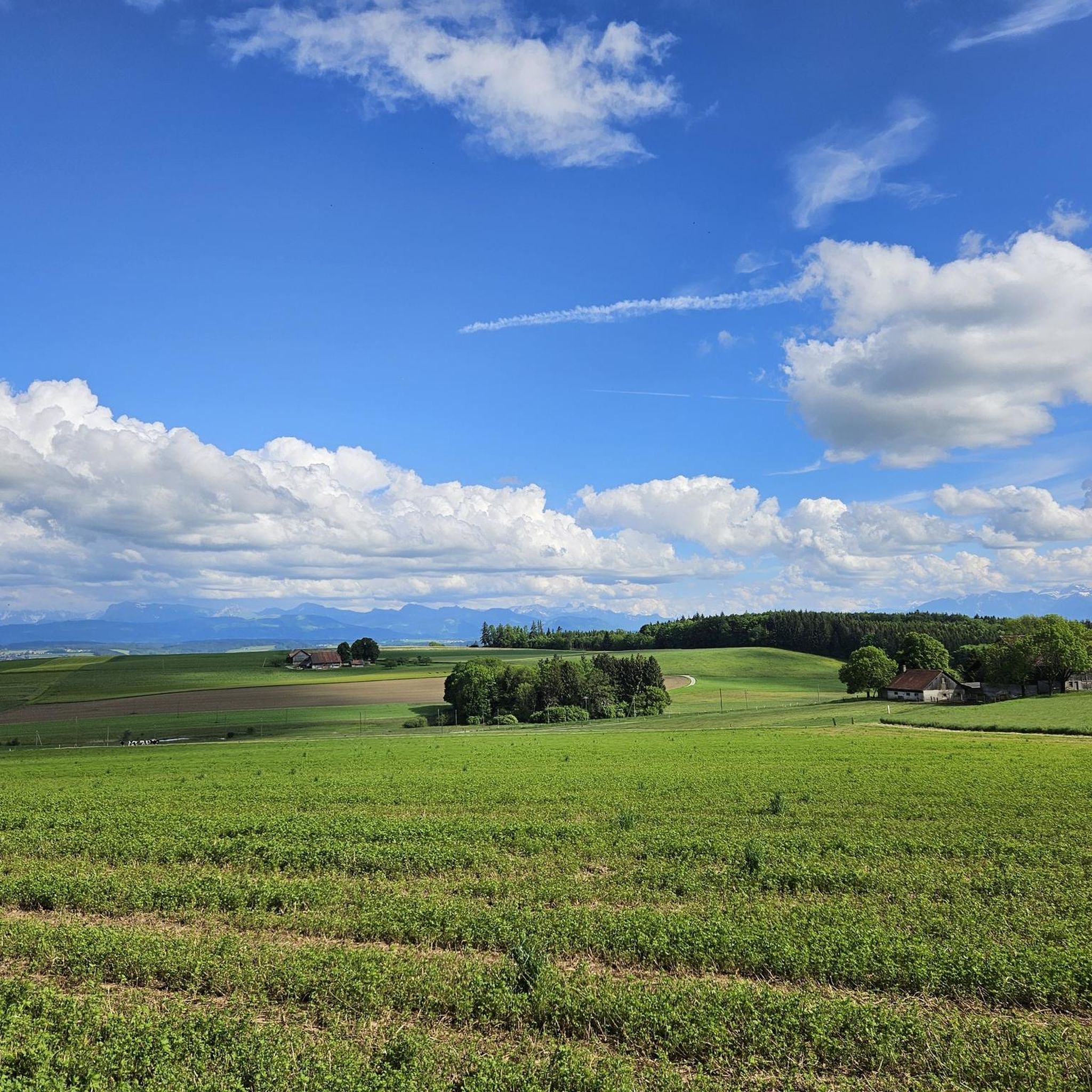
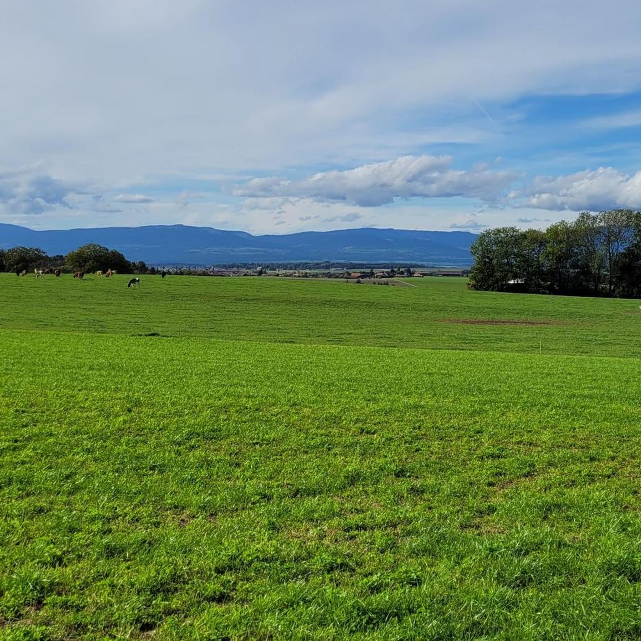
Tips from the Community


Access to the shore, possibility of soaking your feet.
0
0

Right next to the Talent there is a small grotto that is also accessible.
1
0

Wonderful craftsmanship!
0
0

A pretty walk in the forest very well designed for families, perfect with a rickshaw or a wheelchair. Animated throughout the circuit. A great discovery and a real pleasure.
0
0

Sheltered hexagonal table. Hearth for grills. Trash.
0
0
4 hours free. Fountain.
0
0
Frequently Asked Questions
How many hiking trails are available around Montilliez?
Montilliez and the surrounding Gros-de-Vaud district offer a wide network of trails, with over 200 hiking routes available. These trails traverse varied landscapes, from rolling hills and agricultural plains to forested areas, providing diverse options for outdoor enthusiasts.
What kind of terrain can I expect on hikes near Montilliez?
Hiking around Montilliez is characterized by gentle hills, agricultural fields, and woodlands. Trails often follow waterways or lead to local points of interest. While Montilliez itself is in a flatter region, its proximity to Lake Geneva and the pre-Alps means the broader area offers diverse terrain, from leisurely strolls to more extended moderate hikes.
Are there easy hiking trails suitable for beginners or casual walkers?
Yes, Montilliez has a significant number of easy trails, with 131 routes classified as easy. An excellent option for a relaxing experience is the Chemin de l'Écluse – Picnic Gazebo with Fire Pit loop from Echallens, an easy 3.5-mile (5.6 km) path that follows a canal and leads to a pleasant picnic area.
Are there any circular walks around Montilliez?
Yes, many trails in the region are designed as circular routes. For example, the Brigands Bridge – Refuge des Charbonnières loop from Jorat-Menthue is a popular 2.5-mile (4.1 km) easy route that offers a scenic walk through the local landscape.
What do other hikers say about the trails in Montilliez?
The hiking routes in Montilliez are highly rated by the komoot community, with an average score of 4.5 stars from over 300 reviews. More than 2,500 hikers have used komoot to explore the varied terrain, often praising the well-maintained paths and the peaceful, natural surroundings.
Are there any landmarks or points of interest to see along the hiking trails?
Yes, the region offers several points of interest. You can find highlights like the Étang du Bois Neuf or the Étang du Buron, which are tranquil lakes perfect for a stop. There's also a Picnic spot near one of the ponds, ideal for a break.
Can I find trails suitable for a moderate challenge?
Absolutely. There are 99 moderate trails around Montilliez for those looking for a bit more challenge. The Refuge des Charbonnières – Brigands Bridge loop from Jorat-Menthue is a moderate 4.6-mile (7.5 km) trail that leads through forested sections and past a refuge, typically completed in about two hours.
Are there any trails that offer good views or panoramas?
While Montilliez itself is in a gentler landscape, the broader region, particularly towards Lake Geneva, offers stunning vistas. You can find highlights like the View of Lake Léman and the French Alps, providing breathtaking panoramic views of the expansive lake and distant peaks.
What are the options for parking when hiking in Montilliez?
Specific parking information varies by trailhead. Generally, you can find parking facilities in the villages and near popular starting points for trails. It's advisable to check the individual route details on komoot for precise parking recommendations for your chosen hike.
Are there any trails that pass by lakes or ponds?
Yes, the area around Montilliez features several charming lakes and ponds. You can explore trails that lead to or pass by spots like the Étang du Bois Neuf or the Pond by the Broye, offering serene natural settings.
Are there any trails that include a picnic area or fire pit?
Yes, some trails are equipped with facilities for a pleasant break. The Picnic Gazebo with Fire Pit – Cave loop from Sur Roche is a moderate 5-mile (8.1 km) hike that includes a dedicated picnic area with a fire pit, perfect for a mid-hike meal.
Most popular routes around Montilliez
Most popular attractions around Montilliez

Get inspired with the komoot mobile app


Explore more
Browse the best Hikes in other regions.
