The best walks and hikes around Montalchez
4.6
(3332)
22,722
hikers
202
hikes
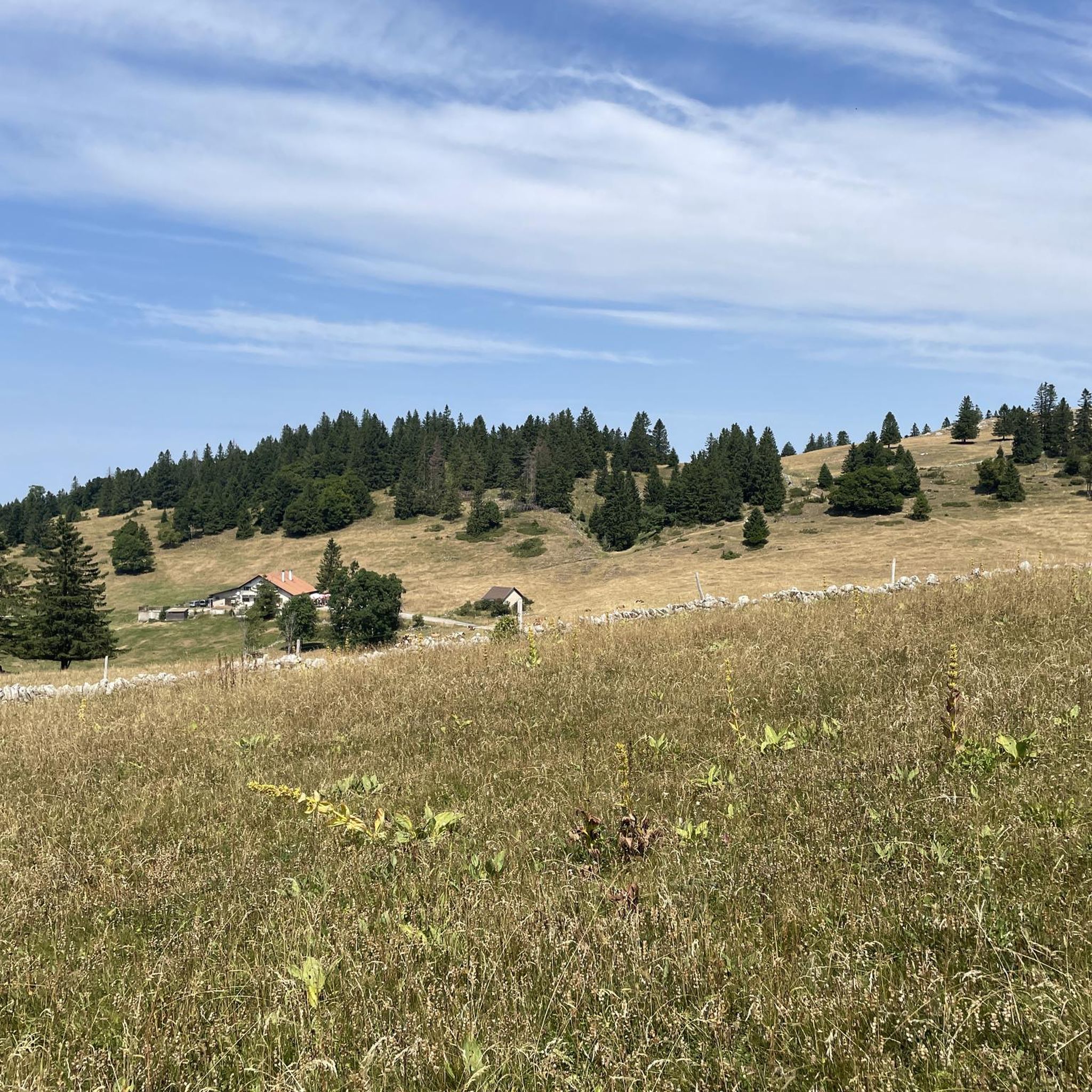
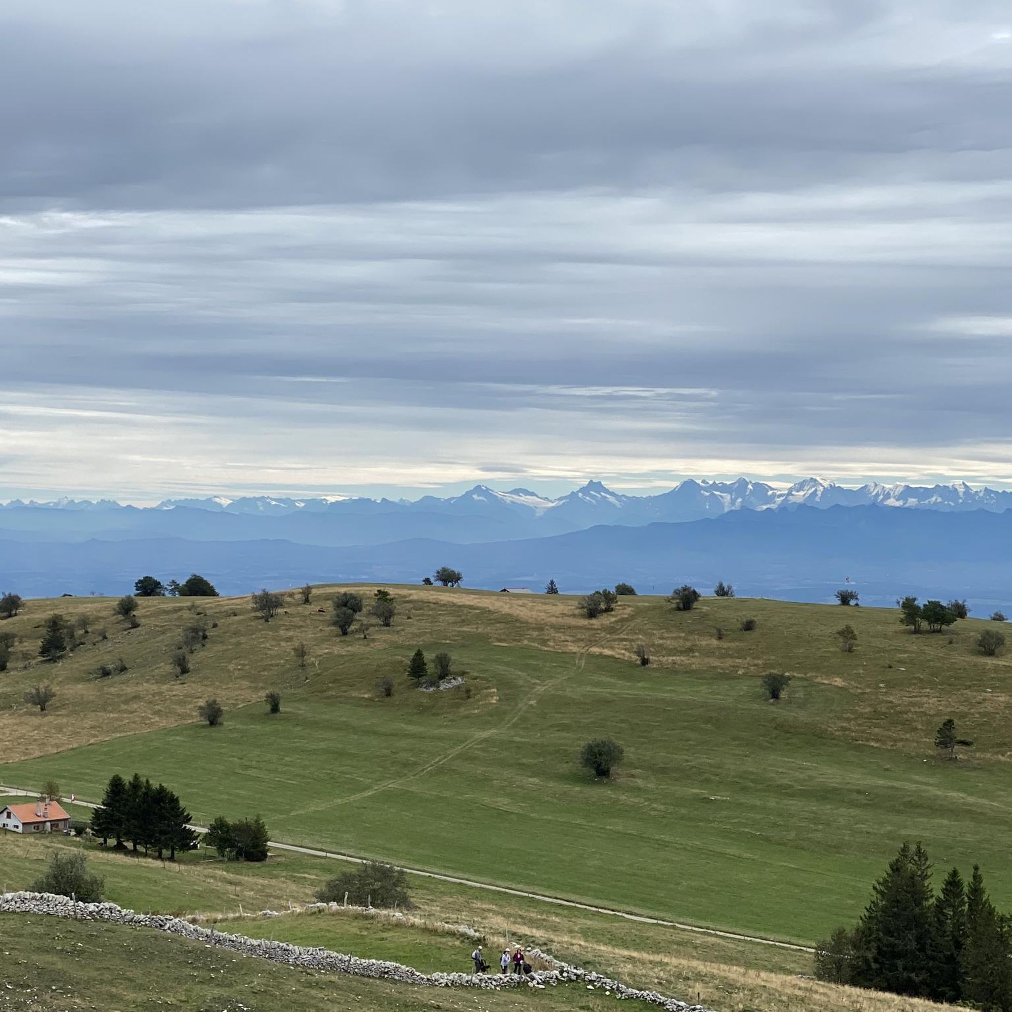
Hiking around Montalchez offers diverse landscapes, characterized by the dramatic limestone cliffs of Creux du Van and extensive Jura forests. The region features a mix of gentle slopes and more challenging ascents, providing varied terrain for outdoor enthusiasts. Trails often lead through wooded areas, open pastures, and offer panoramic views of the surrounding valleys.
Best hiking trails around Montalchez
- The most popular hiking route is Le Soliat-La Grand Vy Trail, a 3.8 miles (6.1 km) trail that takes 1…
Last updated: July 7, 2026
4.5
(20)
235
hikers
6.07km
01:50
190m
190m
Easy hike. Great for any fitness level. Easily-accessible paths. Suitable for all skill levels.
4.8
(69)
423
hikers
13.9km
05:03
790m
790m
Hard hike. Very good fitness required. Mostly accessible paths. Sure-footedness required.

Sign up for free
4.8
(25)
112
hikers
10.3km
03:10
340m
340m
Moderate hike. Good fitness required. Easily-accessible paths. Suitable for all skill levels.
4.9
(18)
53
hikers
4.63km
01:23
140m
140m
Easy hike. Great for any fitness level. Easily-accessible paths. Suitable for all skill levels.
4.6
(15)
77
hikers
6.33km
01:53
180m
180m
Easy hike. Great for any fitness level. Easily-accessible paths. Suitable for all skill levels.
Get access to more routes and recommendations from other explorers.
Sign up for free
Already have an account?
Our route recommendations are based on thousands of hikes, rides, and runs completed by other people on komoot.
Start today with a free account
Your next adventure awaits.
Login or Signup
Tips from the Community


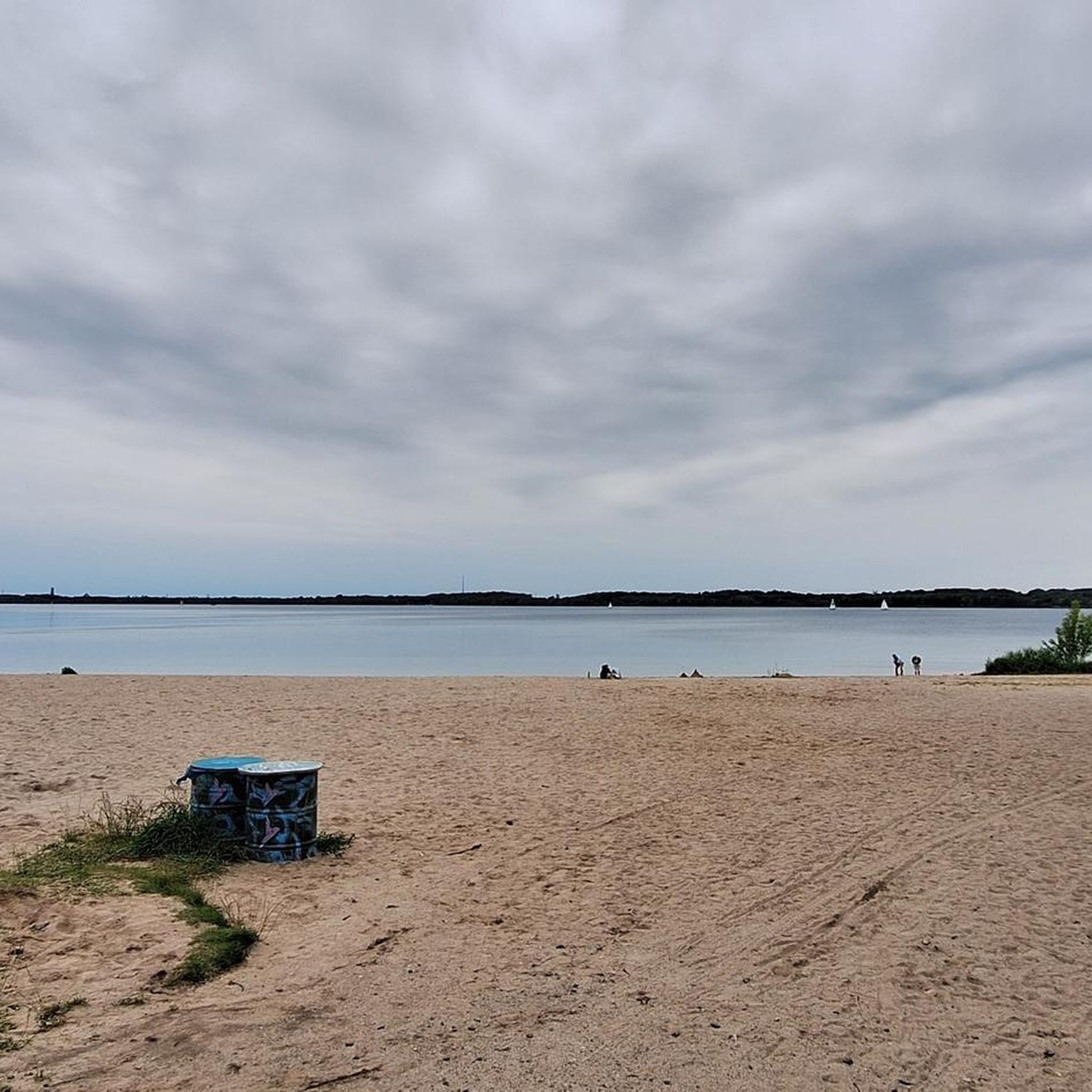
pretty here, very pretty
3
0
Pretty here, very pretty.
2
0
Frequently Asked Questions
How many hiking trails are available around Montalchez?
Montalchez offers a wide network of over 200 hiking trails. These routes cater to various skill levels, from easy strolls to more challenging ascents, allowing you to explore the diverse landscapes of limestone cliffs, dense forests, and open pastures.
Are there easy hiking trails suitable for beginners in Montalchez?
Yes, Montalchez has plenty of options for beginners. About a third of the trails, around 70 routes, are rated as easy. A good starting point is the Le Soliat-La Grand Vy Trail, which is 3.8 miles (6.1 km) long and offers pleasant views.
What kind of natural attractions can I see along the hiking trails?
The Montalchez region is renowned for its dramatic natural features. You can explore the impressive natural amphitheater of Creux du Van, and discover stunning gorges. Highlights include the Stone Bridge in the Areuse Gorge and the Saut de Brot stone bridge. Some trails also lead to viewpoints like the View from Rocher des Tablettes.
Are there any circular hiking routes in Montalchez?
Many of the trails around Montalchez are designed as circular routes, allowing you to start and end at the same point. For example, the Creux du Van – Creux du Van loop from Le Soliat is a popular moderate 6.4-mile (10.3 km) option that explores the natural amphitheater.
What do other hikers enjoy most about the trails in Montalchez?
The hiking trails in Montalchez are highly rated by the komoot community, with an average score of 4.6 stars from over 2,900 reviews. Hikers frequently praise the diverse landscapes, from the dramatic cliffs of Creux du Van to the serene Jura forests, and the well-maintained paths that offer panoramic views.
Are there any family-friendly hiking options in Montalchez?
Montalchez offers several trails suitable for families, particularly among its 70+ easy routes. These paths often feature gentle slopes and lead through scenic woodlands and open pastures, providing an enjoyable experience for all ages. Look for shorter, less strenuous loops for younger children.
Can I bring my dog on the hiking trails in Montalchez?
Generally, dogs are welcome on most hiking trails in the Montalchez region, provided they are kept on a leash, especially in areas with livestock or wildlife. It's always a good idea to check specific trail regulations or local signage, but the natural environment is very dog-friendly.
Are there places to eat or get refreshments along the trails?
Yes, you can find options for refreshments. For instance, near the Soliat area, there's Restaurant Le Soliat and La Combaz Buvette Restaurant, which are popular spots for hikers to refuel and enjoy local cuisine.
What are the parking options for hikers in Montalchez?
Parking is generally available at common starting points for trails, particularly near popular access points like Le Soliat. These areas are typically well-marked, but it's advisable to arrive early during peak season to secure a spot.
Is Montalchez accessible by public transport for hikers?
The Jura region, including areas around Montalchez, is well-served by Switzerland's efficient public transport network. While Montalchez itself is a smaller village, nearby towns and key trailheads often have bus connections, making it possible to reach many hiking starting points without a car.
Are there any challenging or difficult hikes in the Montalchez area?
For experienced hikers seeking a challenge, Montalchez offers about 30 difficult routes. An example is the Creux du Van – Saut de Brot Stone Bridge loop from Le Soliat, which spans nearly 8.7 miles (14 km) with significant elevation changes, providing a strenuous but rewarding experience.
Can I hike in Montalchez during winter?
Winter hiking is possible in Montalchez, offering a different perspective of the snow-covered Jura landscape. While some higher or more exposed trails might require snowshoes or be less accessible, many lower-elevation forest paths remain suitable for winter walks. Always check local conditions and weather forecasts before heading out.
Most popular routes around Montalchez
Most popular attractions around Montalchez

Get inspired with the komoot mobile app


Explore more
Browse the best Hikes in other regions.
