The best walks and hikes around Möhrendorf
4.5
(132)
967
hikers
107
hikes
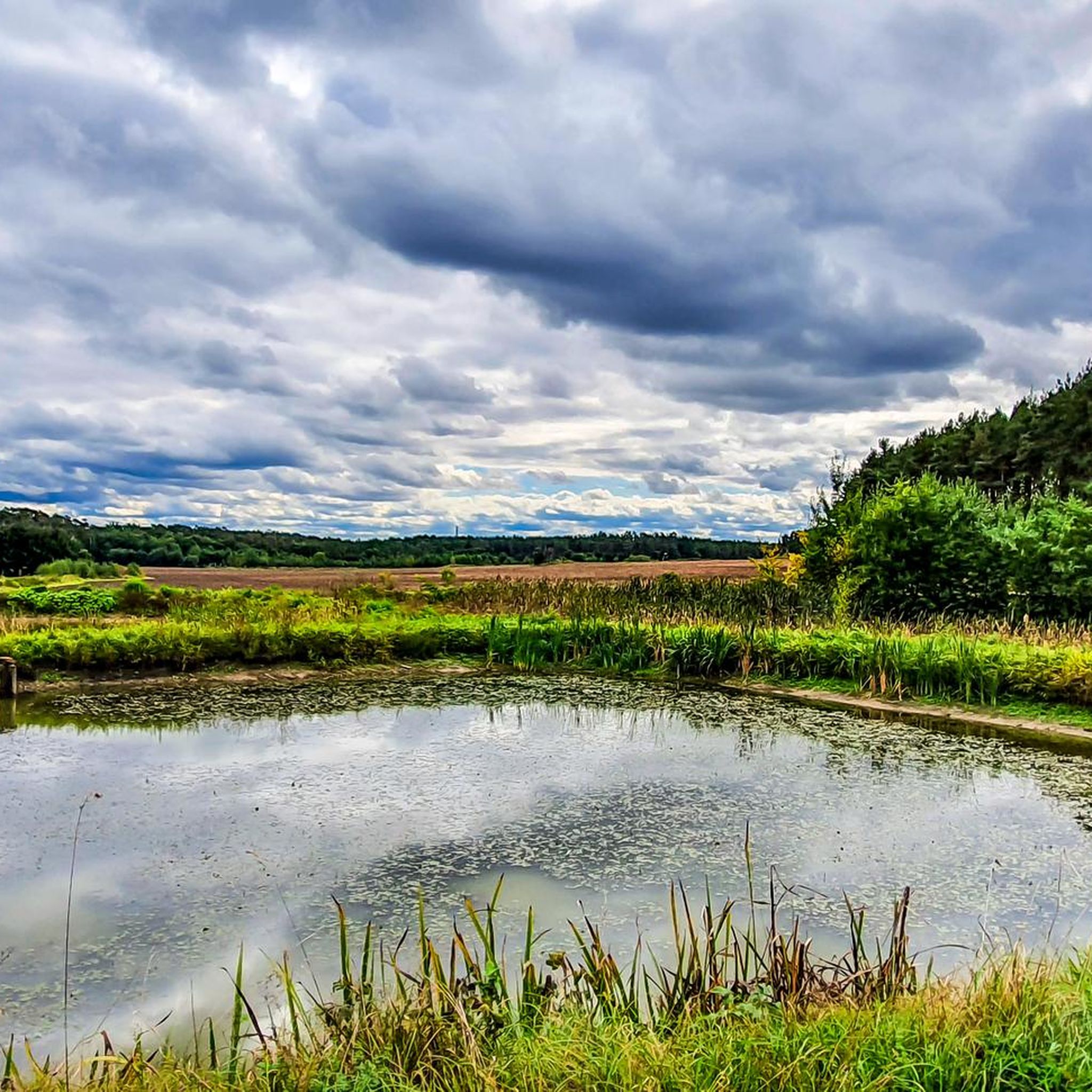
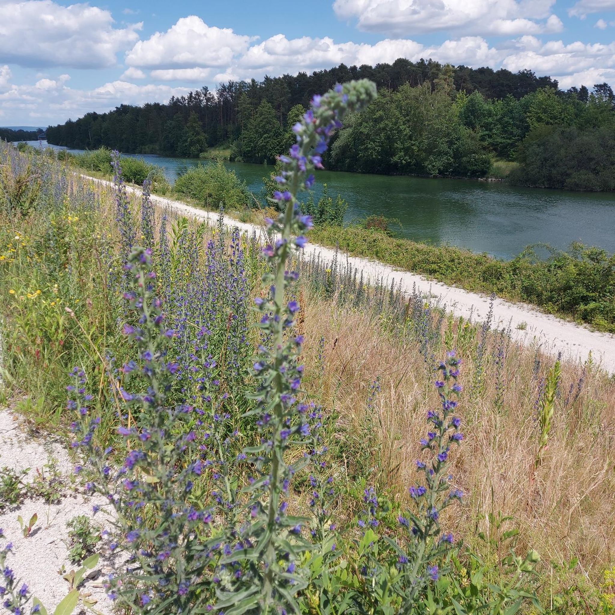
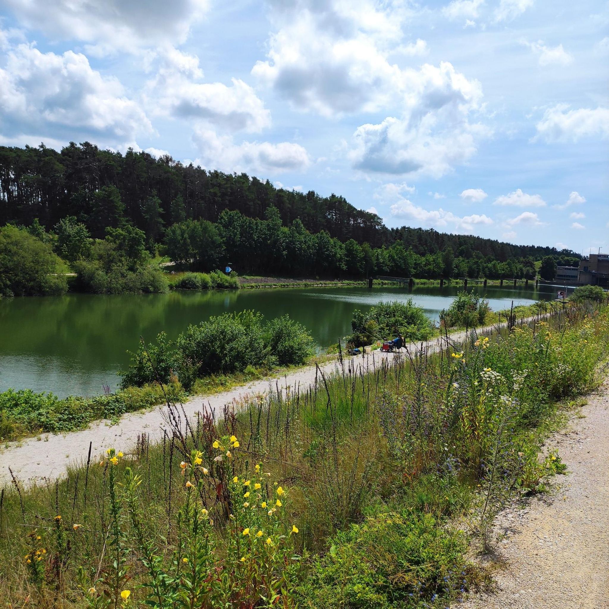
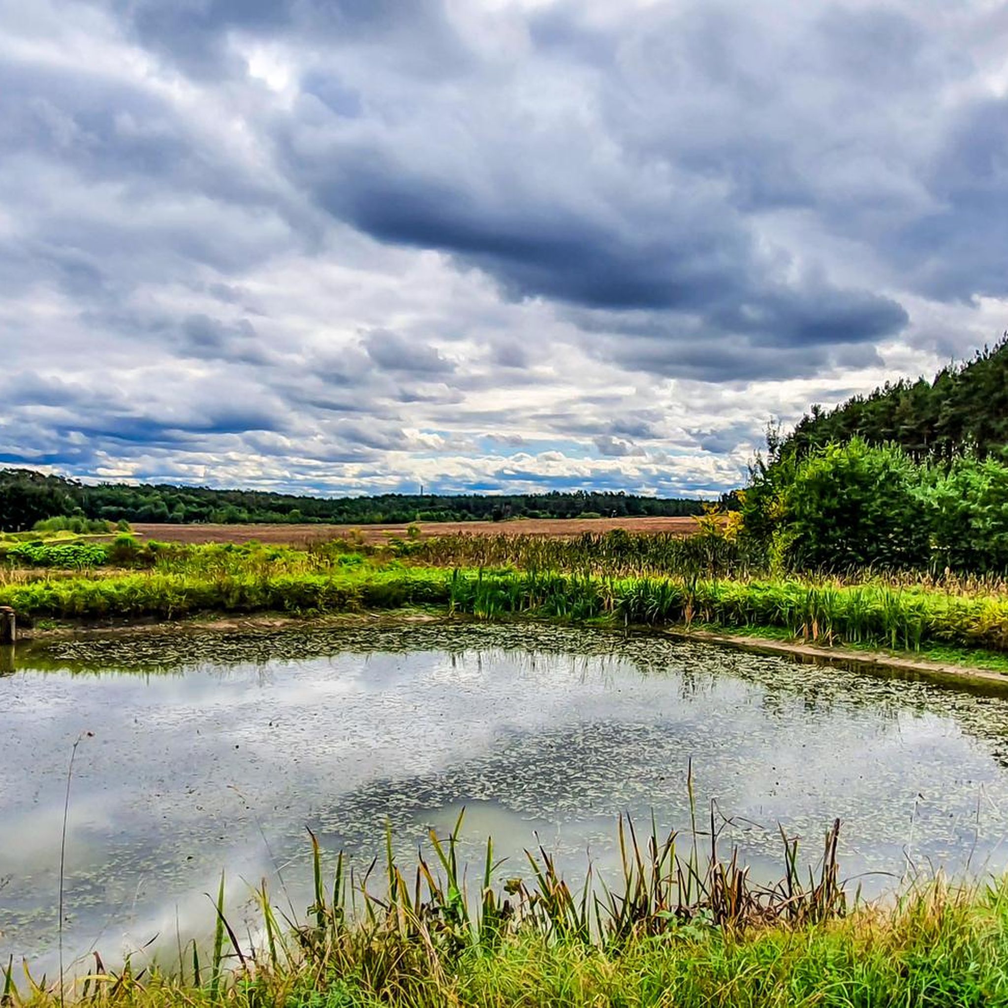
Hiking around Möhrendorf offers diverse landscapes at the edge of the Franconian Switzerland-Veldenstein Forest Nature Park. The region features picturesque forests, rolling hills, and the scenic Regnitz Valley, which is traversed by the Regnitz river. Hikers can explore gentle hills, impressive rock formations, and historic water wheels along the river. The area also includes the Dechsendorfer Weiher lake and the Tennenloher Forest, providing varied terrain for outdoor activities.
Best hiking trails around Möhrendorf
- The most popular hiking route is Lower…
Last updated: October 1, 2026
4.3
(24)
77
hikers
10.5km
02:46
80m
80m
Moderate hike. Good fitness required. Easily-accessible paths. Suitable for all skill levels.
4.3
(6)
41
hikers
8.10km
02:04
20m
20m
Moderate hike. Good fitness required. Easily-accessible paths. Suitable for all skill levels.

5.0
(5)
61
hikers
5.09km
01:18
20m
20m
Easy hike. Great for any fitness level. Easily-accessible paths. Suitable for all skill levels.
4.4
(9)
39
hikers
7.04km
01:48
20m
20m
Easy hike. Great for any fitness level. Easily-accessible paths. Suitable for all skill levels.
4.3
(4)
26
hikers
8.46km
02:08
20m
20m
Moderate hike. Good fitness required. Easily-accessible paths. Suitable for all skill levels.
Get access to more routes and recommendations from other explorers.
Already have an account?
Our route recommendations are based on thousands of hikes, rides, and runs completed by other people on komoot.
Start today with a free account
Your next adventure awaits.

Tips from the Community

It is also suitable for Stand Up Paddling.
0
0

Imposing lock structure, unfortunately without lock operation when we were there
0
0


Great structure. On the way home from my bike tour Weisendorf - Bamberg - Back, this is always the last stop because there is also a bench there
0
0

It would currently be advisable to bypass the area widely.
1
0

Beautiful bridge - an eye-catcher day and night. A great photo object from different perspectives.
1
0

The information panel describes the historic waterwheels on the Regnitz River near Baiersdorf. These wheels are a unique cultural monument in the region, once used to irrigate the surrounding meadows. Background Information Purpose: For centuries, the waterwheels were used to pump warm, bacteria-rich surface water from the Regnitz River onto the sandy soils of the irrigated meadows. History: In the 18th and 19th centuries, over 200 of these wheels operated between Schwabach and Forchheim. Today, only a few surviving examples can be seen near Möhrendorf. Operation: According to the "Baiersdorf Water Ordinance" of 1693, the wheels may only operate from May 1st to September 30th of each year. They are erected at the beginning of the season and dismantled again at the end of the summer. Cultural Monument: The remaining Möhrendorf waterwheels are recognized as intangible cultural heritage and are maintained by associations and dedicated farmers. ... (Source via AI mode)
1
0

You pass directly by on the cycle path.
1
0
Frequently Asked Questions
How many hiking trails are available around Möhrendorf?
Möhrendorf offers a wide variety of hiking experiences, with over 110 trails to explore. These range from easy strolls to more moderate routes, ensuring there's something for every fitness level.
What do hikers enjoy most about the trails in Möhrendorf?
The hiking trails in Möhrendorf are highly rated by the komoot community, with an average score of 4.4 stars from over 120 reviews. Hikers frequently praise the diverse landscapes, including picturesque forests, rolling hills, and the scenic Regnitz Valley, as well as the well-marked paths and varied terrain.
Are there hiking trails suitable for beginners or those looking for an easy walk?
Yes, Möhrendorf is very accommodating for easy walks. There are 71 easy trails available, many of which are flat and follow river landscapes or loop around serene ponds. A great option is the Seebach Waterfalls – Erlangen Lock loop from Möhrendorf, which is an easy 5.4 km path.
Are there any challenging hikes in the Möhrendorf area?
While Möhrendorf is known for its gentle terrain, there is at least one more challenging route for experienced hikers. The region primarily features easy to moderate trails, but some routes within the Franconian Switzerland-Veldenstein Forest Nature Park can offer more elevation and rugged paths.
Are there any trails that feature waterfalls?
Yes, you can experience waterfalls on some trails. The Seebach Waterfalls – Erlangen Lock loop from Möhrendorf is an easy path that specifically features the Seebach Waterfalls, offering a refreshing natural highlight.
Can I see historic water wheels while hiking in Möhrendorf?
Absolutely. The Regnitz river, which flows through the area, is known for its historic water wheels. These can be seen from May to September. The Lower Rothweiher – Giesbethweiher Bridge loop from Möhrendorf is a moderate route that guides hikers past several of these unique historical features.
What are the best seasons for hiking in Möhrendorf?
Spring and autumn are particularly recommended for hiking in Möhrendorf. Spring offers vibrant blossoming flowers and lush green meadows, while autumn is celebrated for its warm colors and pleasant climate, providing optimal conditions for extended walks.
Are there family-friendly hiking options in Möhrendorf?
Möhrendorf is highly suitable for families, offering many child-friendly routes. These often incorporate engaging stopovers such as playgrounds or animal enclosures, making hiking an adventure for all ages. The area around Tiefenweg Pond, for example, provides easy hiking options perfect for families.
Are there any interesting landmarks or attractions to see along the hiking trails?
Yes, Möhrendorf's trails lead to several notable attractions. You can explore Atzelsberg Castle with its extensive park grounds, or visit the Effeltrich Fortified Church and Dance Lime Tree. The historic Möhrendorf Center also features beautiful half-timbered houses and the impressive St. Nikolaus church.
Are there any loop hikes available in Möhrendorf?
Yes, loop hikes are a popular feature in Möhrendorf, allowing you to start and end your journey in the same spot. Popular options include the Lower Rothweiher – Giesbethweiher Bridge loop and the Tiefenweg Pond – Tiefenweg Pond loop, which takes you through forested areas.
Can I spot any unique wildlife while hiking in Möhrendorf?
Yes, the Tennenloher Forest, located within the Möhrendorf area, is home to a Przewalski Horse Enclosure. These wild horses graze the valuable sandy habitats, offering a unique wildlife spotting opportunity for hikers.
Are there any lakes or ponds suitable for walks?
The region features several beautiful water bodies perfect for walks. The Dechsendorfer Weiher (also known as Großer Bischofsweiher) has a circular path ideal for walking. Additionally, the Tiefenweg Pond area offers easy hiking options through its surrounding forested areas.
What kind of landscapes can I expect to see on a hike in Möhrendorf?
Möhrendorf's landscapes are incredibly diverse. You can expect picturesque forests, rolling hills, and the scenic Regnitz Valley, which is traversed by the Regnitz river and the Rhine-Main-Danube Canal. The area also borders the Franconian Switzerland-Veldenstein Forest Nature Park, offering impressive rock formations alongside gentle hills.
Most popular routes around Möhrendorf
Most popular attractions around Möhrendorf

Get inspired with the komoot mobile app


Explore more
Browse the best Hikes in other regions.
