The best walks and hikes around Möckmühl
4.5
(4193)
15,115
hikers
92
hikes
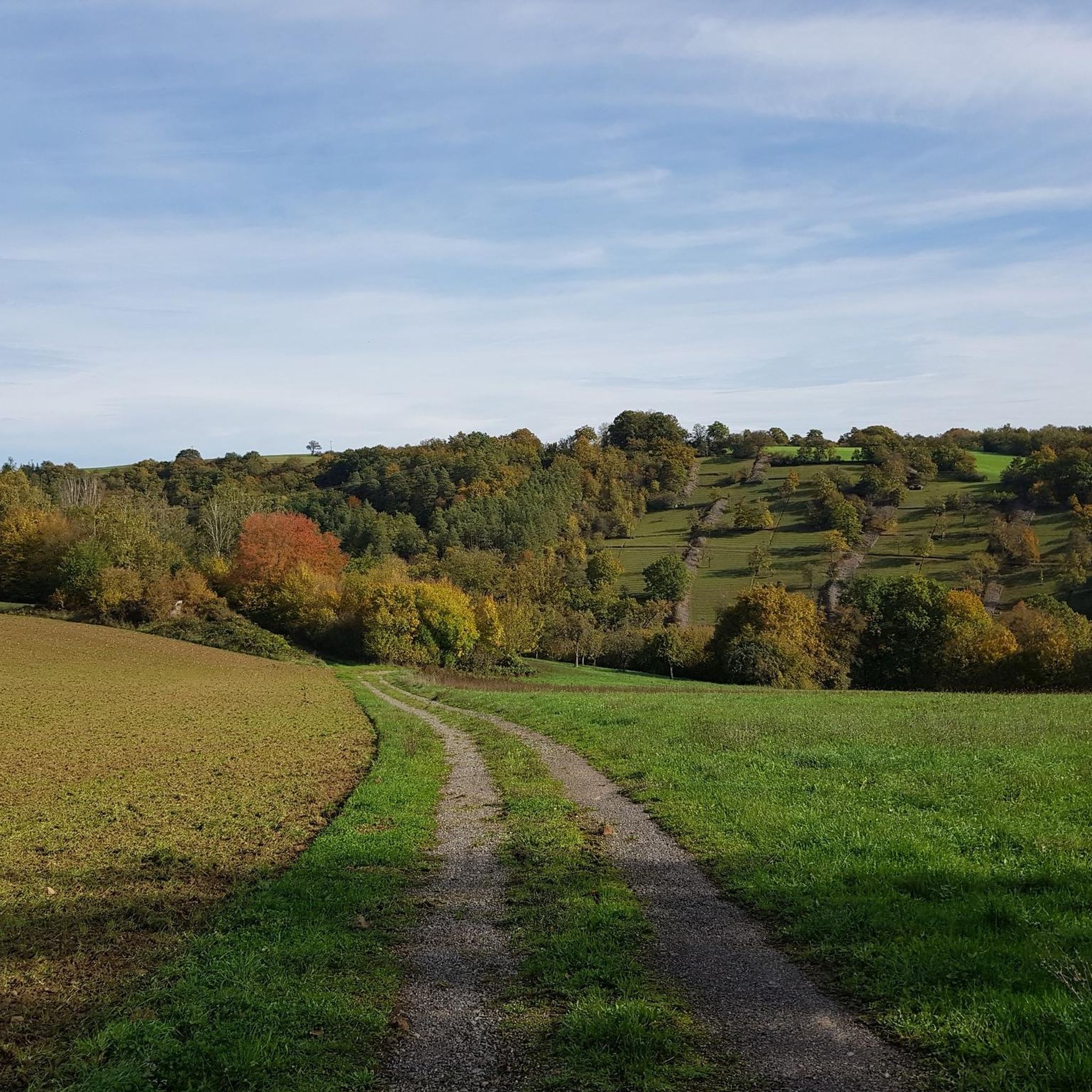
Hiking around Möckmühl offers diverse landscapes shaped by the confluence of the Jagst and Seckach rivers. The region features scenic river valleys, high plateaus, and fertile agricultural areas, providing varied terrain for exploration. Hikers can experience a mix of open fields, natural vistas, and peaceful meadow valleys. This geographical composition creates a rich environment for outdoor activities.
Best hiking trails around Möckmühl
- The most popular hiking route is Upper and Lower Market Square – Schinnersturm and City Wall loop from…
Last updated: September 29, 2026
4.2
(19)
57
hikers
Moderate hike. Good fitness required. Easily-accessible paths. Suitable for all skill levels.
4.0
(9)
38
hikers
7.88km
02:09
120m
120m
Moderate hike. Good fitness required. Easily-accessible paths. Suitable for all skill levels.

4.7
(6)
24
hikers
5.02km
01:27
100m
100m
Moderate hike. Great for any fitness level. Mostly accessible paths. Sure-footedness required.
5.0
(2)
26
hikers
5.96km
01:46
170m
170m
Moderate hike. Great for any fitness level. Mostly accessible paths. Sure-footedness required.
4.7
(6)
24
hikers
10.9km
03:03
200m
200m
Moderate hike. Good fitness required. Easily-accessible paths. Suitable for all skill levels.
Get access to more routes and recommendations from other explorers.
Already have an account?
Our route recommendations are based on thousands of hikes, rides, and runs completed by other people on komoot.
Start today with a free account
Your next adventure awaits.
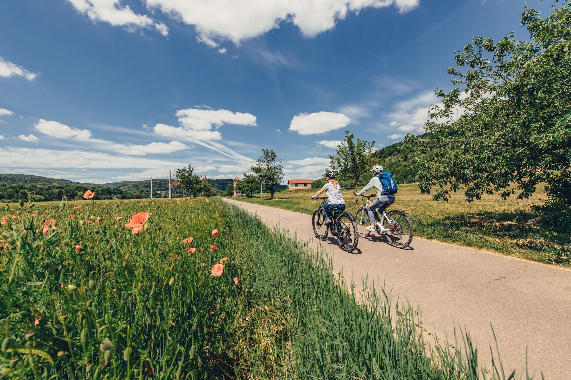
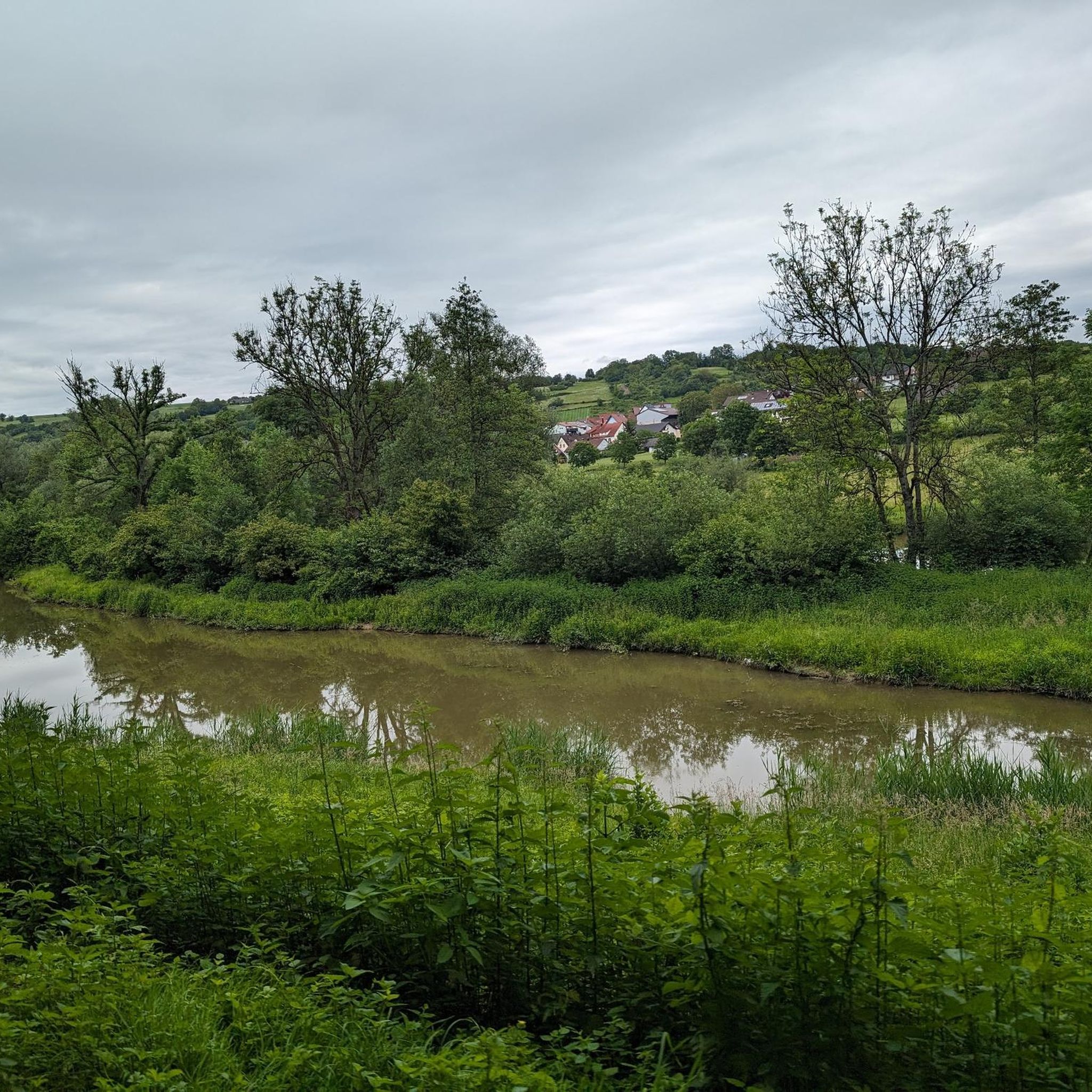
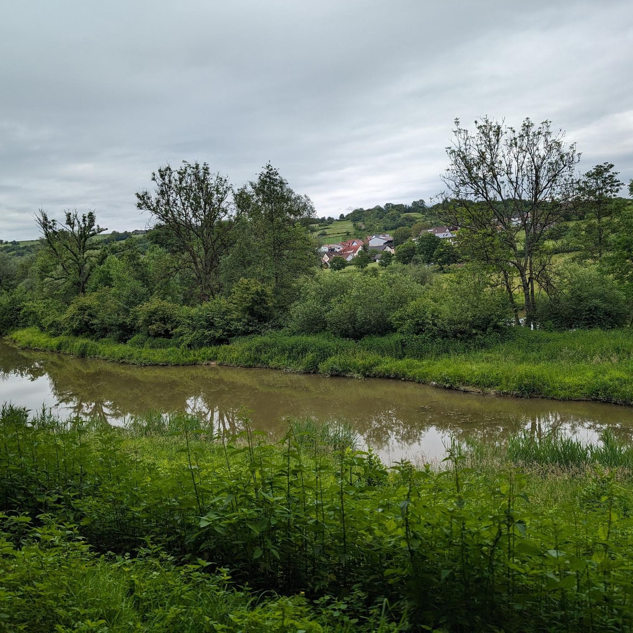
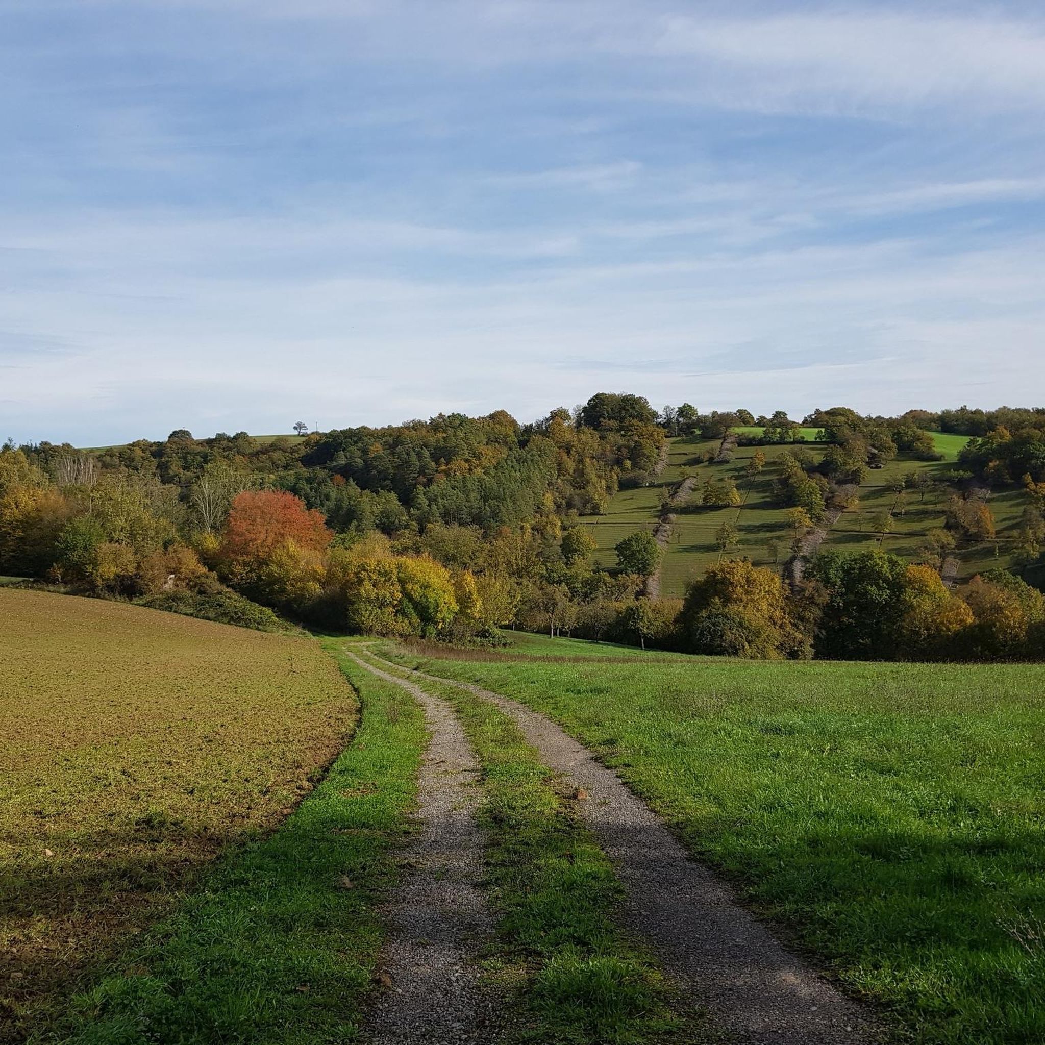
Other adventures around Möckmühl

Tips from the Community

Came past the half-timbered house by bike
0
0
Former deaconry house explored by bike
0
0

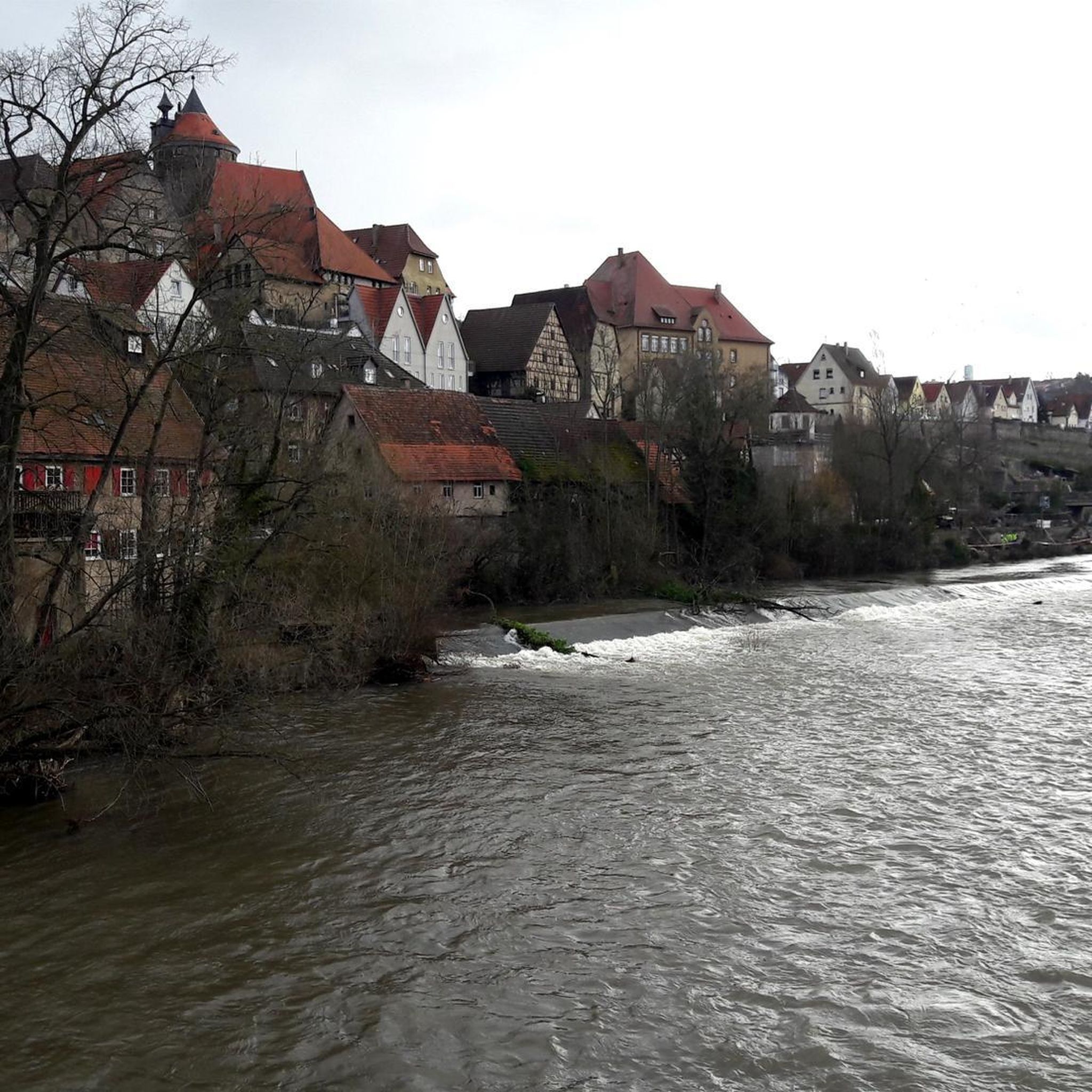
Möckmühl Castle, perched high above the town, was first mentioned in 1251 and was probably built by the noble lords of Dürn. From 1287 to 1445, the castle was owned by the Lords of Hohenlohe. In 1519, Götz von Berlichingen defended the castle and the town against the Swabian League, during which he was taken prisoner. In 1829, the town purchased the then dilapidated castle, which Gustav von Alvensleben acquired in 1902. He rebuilt the castle to its present form. In 1945, it was again heavily damaged by artillery fire. Achaz von Alvensleben restored it. Today, the castle is privately owned and not open to the public.
0
0

The view into the Jagst Valley and across to Assumstadt Castle is like a small journey back in time to the landscape history of the Neckar-Jagst region. From the ridge near the Erenstein castle ruins, the view opens up far across the winding valley of the Jagst, which meanders peacefully below through meadows, fields, and floodplains. The slopes rise gently, interspersed with patches of forest and open areas that glow in different colors depending on the season.
5
0

Many wild orchids grow here (again) (e.g. helmet orchid, bee orchid and bumblebee orchid)
0
0
These are the cascades on the Essigberg in Roigheim. The Essigberg is a nature reserve in the Essigberg/Hörnle region of the Heilbronn region. It is an idyllic, scenic area with (re)built dry-stone walls, stone ridges, and thermophilic forest.
0
0

The path through the Pfarrklinge is apparently rarely used. The path is overgrown, mossy and somewhat difficult to walk on in places. Nothing that would stop you, but when it is wet, a walking stick is recommended for support, especially in places where the path has slipped.
3
0

Beautiful planting at the market square in Möckmühl.
1
0
Frequently Asked Questions
How many hiking trails are available in Möckmühl?
Möckmühl offers a wide selection of hiking routes, with over 80 trails listed on komoot. These range from easy walks to more demanding treks, catering to various fitness levels and preferences.
What kind of landscapes can I expect to see while hiking in Möckmühl?
The region around Möckmühl is characterized by the scenic confluence of the Jagst and Seckach rivers. You'll encounter picturesque river valleys, tranquil meadow valleys, and diverse high plateaus. Many trails also lead through open fields and natural vistas, offering a rich tapestry of scenery.
Are there easy hikes suitable for beginners or families with children?
Yes, Möckmühl has many easy routes perfect for beginners or family outings. For example, the Pfarrklinge Trail – Former Diaconate House loop from Möckmühl is a moderate 3.1-mile trail that can be completed in under 1.5 hours, offering varied terrain without being overly strenuous.
Are there any circular hiking routes in Möckmühl?
Many of the hiking trails in Möckmühl are designed as circular routes, allowing you to start and end at the same point. The Upper and Lower Market Square – Schinnersturm and City Wall loop from Möckmühl is a popular moderate circular trail that explores historical landmarks and city views over 10 miles.
What are some notable natural features or landmarks to look out for on the trails?
The confluence of the Jagst and Seckach rivers is a significant natural attraction. You can also discover beautiful lakes such as Brettach Forest Lake or Henkersbrunnen with lake and barbecue area. For historical interest, the Ravine above the Jagst River – View of Schloss Assumstadt loop from Züttlingen offers views of Schloss Assumstadt.
What do other hikers say about the trails in Möckmühl?
The hiking trails in Möckmühl are highly regarded by the komoot community, holding an average rating of 4.6 out of 5 stars from over 300 reviews. Hikers often praise the diverse terrain, scenic river valleys, and well-maintained paths.
What is the best time of year to go hiking in Möckmühl?
The region's natural beauty is particularly appealing in spring and summer when nature is in full bloom. The idyllic settings along the Jagst river are best experienced during these warmer months, though autumn also offers beautiful foliage.
Are the hiking trails in Möckmühl dog-friendly?
While specific regulations can vary, many trails in natural areas are generally dog-friendly, especially if dogs are kept on a leash. The diverse landscapes of river valleys and open fields provide ample space for walks with your canine companion. Always ensure to follow local signage regarding pets.
Are there longer or more challenging hiking options for experienced hikers?
Yes, for those seeking a greater challenge, Möckmühl offers routes with significant elevation gain and longer distances. The Old shelter – Wailing Wall loop from Bittelbronn is a moderate 6.8-mile trail with over 650 feet of elevation gain, providing a more demanding experience.
Can I combine hiking with other outdoor activities in the Möckmühl area?
Absolutely. Beyond hiking, the region is excellent for cycling, particularly along the Jagst river. The Kochertalbahn Rail Trail is noted for its peaceful route and charming villages, making it a great option for combining a hike with a bike ride or exploring the area on two wheels.
How can I find parking or access trailheads via public transport?
While specific parking details for each trailhead are best found on individual route pages, Möckmühl is generally accessible. For public transport, check local bus and train schedules to nearby villages like Züttlingen, which serves as a starting point for routes such as the Ravine above the Jagst River – View of Schloss Assumstadt loop from Züttlingen.
Most popular routes around Möckmühl
Most popular attractions around Möckmühl

Get inspired with the komoot mobile app


Explore more
Browse the best Hikes in other regions.
