The best traffic-free bike rides in Mesa County
4.0
(2)
59
riders
5
rides
No traffic gravel bike trails in Mesa County traverse a diverse landscape within the Colorado Plateau, characterized by deep canyons, expansive deserts, and flat-topped mountains. The region offers varied terrain for gravel biking, from the red rock formations of areas like Colorado National Monument to the higher elevations and forests of Grand Mesa. These routes provide opportunities to explore the natural features of Western Colorado, including remote desert paths and agricultural areas.
Best no traffic gravel bike trails in Mesa…
Last updated: October 1, 2026
5.0
(1)
7
riders
31.5km
03:01
270m
270m
Moderate gravel ride. Good fitness required. Mostly paved surfaces. Suitable for all skill levels.
6
riders
105km
08:32
990m
990m
Hard gravel ride. Very good fitness required. Mostly paved surfaces. Suitable for all skill levels.

3
riders
47.3km
04:37
430m
430m
Moderate gravel ride. Good fitness required. Mostly paved surfaces. Suitable for all skill levels.
4
riders
77.3km
05:06
1,450m
1,450m
Hard gravel ride. Very good fitness required. Mostly paved surfaces. Suitable for all skill levels.
3.0
(1)
2
riders
20.9km
01:35
390m
390m
Moderate gravel ride. Good fitness required. Mostly paved surfaces. Suitable for all skill levels.
Our route recommendations are based on thousands of hikes, rides, and runs completed by other people on komoot.
Start today with a free account
Your next adventure awaits.
Popular around Mesa County
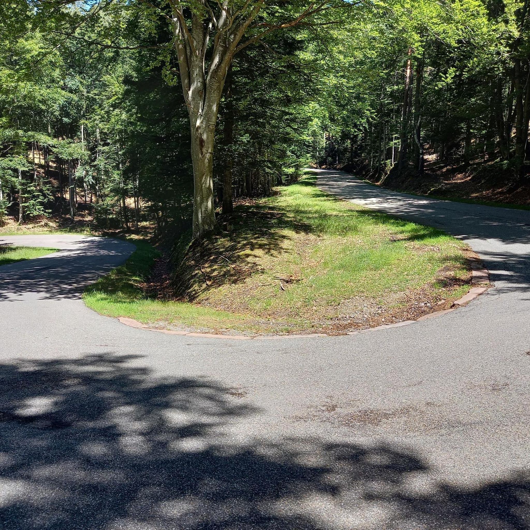
Traffic-free bike rides in the Grand Mesa

American Discovery Trail — Walking from sea to shining sea
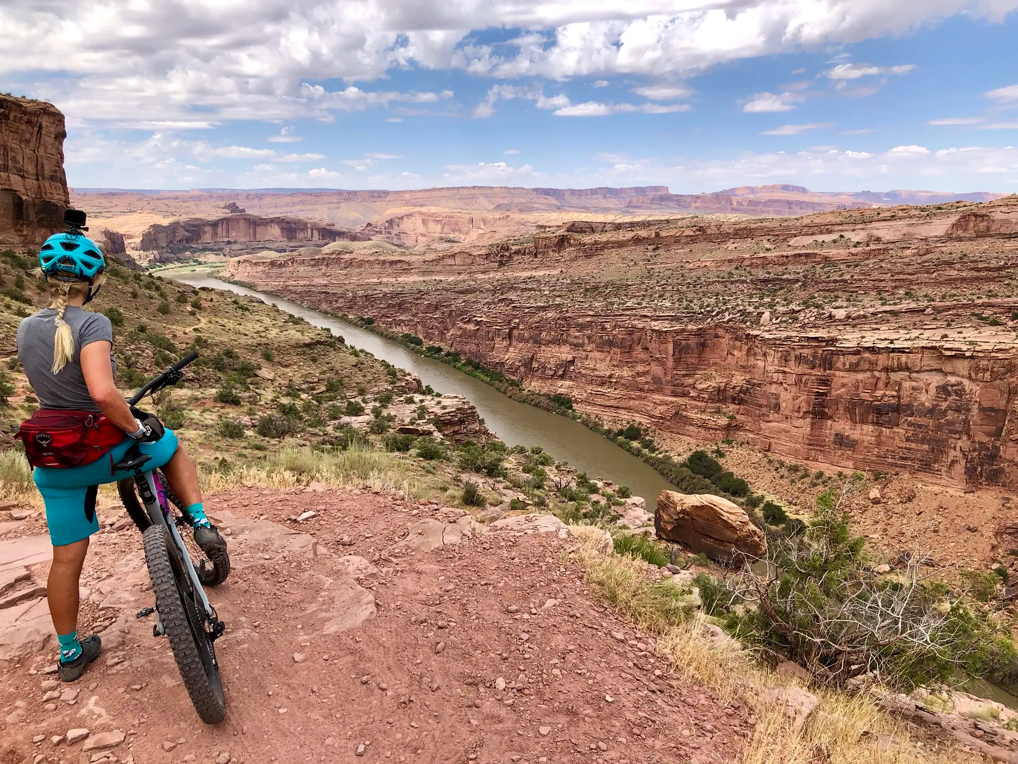
Kokopelli's Trail — Biking a legend’s trail across the desert

American Discovery Trail — Riding coast to coast

From the mountain peaks to the prairie – Rocky Mountains and Great Plains
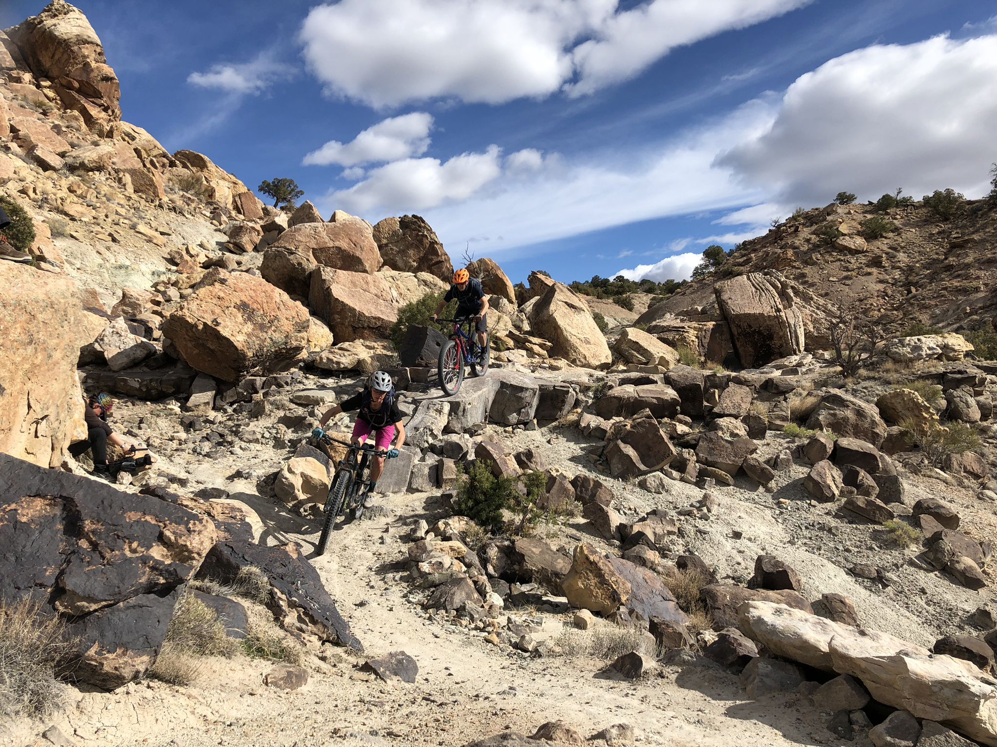
World-class desert trails in the Grand Valley

Traffic-free bike rides in Mesa County
Traffic-free bike rides in Mesa County
Other adventures in Mesa County


Tips from the Community

Lands End Road takes you up to a great view and some lakes. The road is rideable on 28mm tires due to the dirt mix, although wider is better. From the top you can see the whole mesa, with Grand Junction and Utah off in the distance.
0
0

This is the starting point of the long version of the infamous Palisade Plunge Trail. If you want to skip the pedaling part at the beginning you can also start your ride further down the dirt road at the Shirttail Point Trailhead.
1
0
With over 100 years and five generations, you can bet your bottom dollar this farm can make a mean cider! This fruit market has local produce, processed fruits, jams, and honey!
0
0
This point is a pretty popular group ride destination in the area. You can ride the quiet country roads out to the Utah boarder. There only thing really telling you where you are is the spray painted wood sign. The final stretch of road before you get to the boarder isn't paved, but it's not gravel. Just a dilapidated road that has been left to the elements.
0
0

Frequently Asked Questions
How many no-traffic gravel bike trails can I find in Mesa County?
Komoot offers a selection of 5 dedicated no-traffic gravel bike routes in Mesa County. These routes are carefully curated to provide a serene riding experience away from vehicular traffic.
What kind of terrain can I expect on no-traffic gravel bike trails in Mesa County?
Mesa County's no-traffic gravel trails offer a diverse range of terrain, reflecting the region's unique landscape. You'll encounter everything from the expansive deserts and canyons near Fruita to the higher-elevation forests and lakes of Grand Mesa. Routes can feature challenging surfaces, varied elevation gains, and different distance options, catering to various skill levels. For example, the Mesa Top Trailhead – View from Lands End Overlook loop from Kannah Creek Mine offers significant elevation changes, while routes closer to the Utah border might feature more desert-like conditions.
Are there any family-friendly no-traffic gravel bike trails in Mesa County?
While the listed routes are generally moderate to difficult, the region offers areas suitable for families. The rural farm roads and overland trails around Palisade, known for its wine country and peach orchards, can provide gentler, less technical sections ideal for family rides. Always check the route details for specific difficulty and elevation profiles to ensure it matches your family's capabilities.
Can I bring my dog on these no-traffic gravel bike trails?
Mesa County's public lands, including many gravel biking areas, are often managed by the Bureau of Land Management (BLM). Generally, dogs are permitted on trails in BLM areas, but they should always be kept under control, and leash laws may apply in certain sections or protected habitats. It's always best to check specific regulations for the particular trail or area you plan to visit to ensure a dog-friendly experience.
What are the best times of year to go gravel biking in Mesa County to avoid traffic?
Mesa County offers excellent gravel biking opportunities throughout much of the year. Spring and fall generally provide the most pleasant temperatures for riding, especially in the lower desert elevations. During summer, higher-elevation areas like Grand Mesa offer a cooler escape. To truly avoid traffic, focus on the designated no-traffic routes and consider riding during weekdays or early mornings on weekends.
Where can I park when accessing no-traffic gravel bike trails in Mesa County?
Parking availability varies by trail. For routes in the North Fruita Desert, the North Fruita Desert Trailhead is a key access point with parking. For routes near Palisade, you might find parking in town or at designated trailheads. Always check the starting point of your chosen route for specific parking information. Many public lands managed by the BLM also offer designated parking areas.
Are there any circular no-traffic gravel bike routes available?
Yes, several of the no-traffic gravel bike routes in Mesa County are designed as loops, allowing you to start and end at the same point. Examples include the Utah Border Sign – Utah Border Marker loop from Mack and the Utah Border Sign loop from Garvey Mine. These circular routes provide a convenient way to explore the landscape without needing a shuttle.
What attractions or points of interest can I see along these routes?
Mesa County's gravel trails often pass through or near stunning natural features. You might encounter dramatic red rock canyons and plateaus, especially near the Colorado National Monument, with viewpoints like the Independence Monument Overlook and Coke Ovens Overlook. The region also boasts the largest flat-topped mountain in the world, Grand Mesa, offering forests and dozens of lakes. Near Palisade, you'll ride through scenic peach orchards and vineyards. Always check the route details for specific highlights along your chosen path.
What do other komoot users say about gravel biking in Mesa County?
The komoot community rates the gravel biking experiences in Mesa County highly, with an average score of 4.0 stars. Reviewers often praise the stunning and diverse landscapes, the challenging yet rewarding terrain, and the opportunity to explore remote areas away from traffic. The unique blend of desert, canyon, and mountain environments makes for a memorable ride.
Are there any cafes or places to refuel near the no-traffic gravel bike trails?
While many no-traffic routes venture into more remote areas, the towns of Fruita, Palisade, and Grand Junction serve as excellent bases with various amenities. Fruita, known for its cycling culture, has bike shops like Over The Edge Sports and local eateries. Palisade offers charming cafes and wineries. It's always advisable to carry sufficient water and snacks, especially on longer or more remote routes, as direct access to services might be limited along the trails themselves.
Are there any longer, more challenging no-traffic gravel bike routes for experienced riders?
Absolutely. For experienced riders seeking a significant challenge, Mesa County offers routes with substantial distance and elevation gain. The Utah Border Sign loop from Garvey Mine is a difficult route spanning over 100 km with nearly 1000 meters of elevation gain. Another challenging option is the Mesa Top Trailhead – View from Lands End Overlook loop from Kannah Creek Mine, which features over 1400 meters of ascent.
What are some less-known, "hidden gem" no-traffic gravel bike trails in Mesa County?
While specific 'hidden gems' are often discovered through local exploration, the extensive network of Bureau of Land Management (BLM) roads and trails across Mesa County offers countless opportunities for quiet, less-trafficked rides. Areas like the remote North Fruita Desert, beyond the main mountain biking trails, or lesser-known sections of Grand Mesa's gravel roads can provide a sense of solitude and discovery. Exploring routes that venture towards the Utah border, such as the Utah Border Sign – Utah Border Marker loop from Mack, can also lead to unique, less-frequented experiences.
Most popular routes in Mesa County
Most popular attractions in Mesa County

Get inspired with the komoot mobile app


Didn’t find what you were looking for?
Check out more Gravel rides throughout Mesa County below and find the perfect route in your destination.
Explore more
Browse the best Gravel rides in other regions.
