The best walks and hikes around Mittelsömmern
4.6
(333)
1,066
hikers
163
hikes
Hiking around Mittelsömmern offers access to the diverse natural landscapes of the Unstrut-Hainich-Kreis district in Thuringia, Germany. The region is characterized by rolling hills, dense forests, and scenic river valleys, providing varied terrain for outdoor activities. Nearby, the Hainich National Park, a UNESCO World Heritage Site, features extensive beech forests and well-signposted trails. The picturesque Unstrut River also offers paths along its course, known for idyllic river landscapes and rich biodiversity.
Best hiking trails around Mittelsömmern
- The most popular hiking…
Last updated: June 26, 2026
4.2
(6)
14
hikers
6.33km
01:39
40m
40m
Easy hike. Great for any fitness level. Easily-accessible paths. Suitable for all skill levels.
4.7
(3)
5
hikers
7.18km
01:52
50m
50m
Easy hike. Great for any fitness level. Easily-accessible paths. Suitable for all skill levels.

Sign up for free
4.5
(2)
8
hikers
Easy hike. Great for any fitness level. Easily-accessible paths. Suitable for all skill levels.
5.0
(1)
5
hikers
4.82km
01:15
30m
30m
Easy hike. Great for any fitness level. Easily-accessible paths. Suitable for all skill levels.
4.0
(1)
3
hikers
6.86km
01:49
60m
60m
Easy hike. Great for any fitness level. Easily-accessible paths. Suitable for all skill levels.
Get access to more routes and recommendations from other explorers.
Sign up for free
Already have an account?
Our route recommendations are based on thousands of hikes, rides, and runs completed by other people on komoot.
Start today with a free account
Your next adventure awaits.
Login or Signup
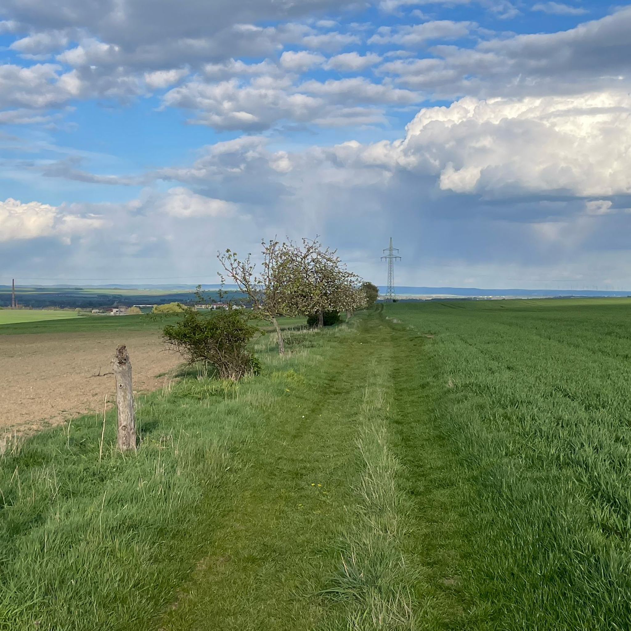
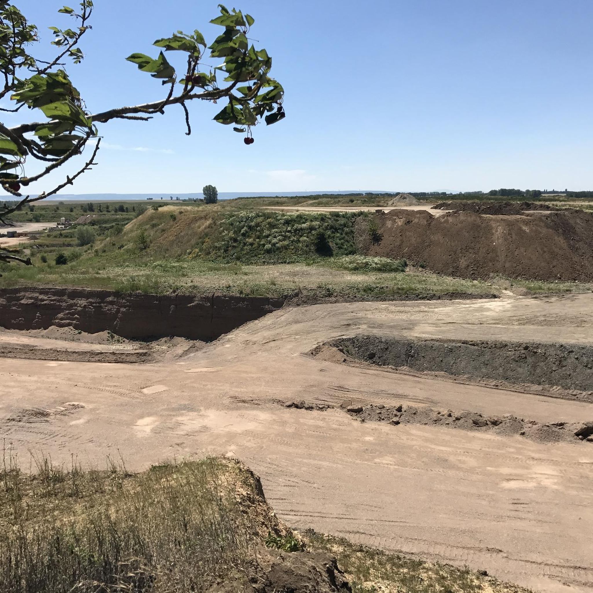
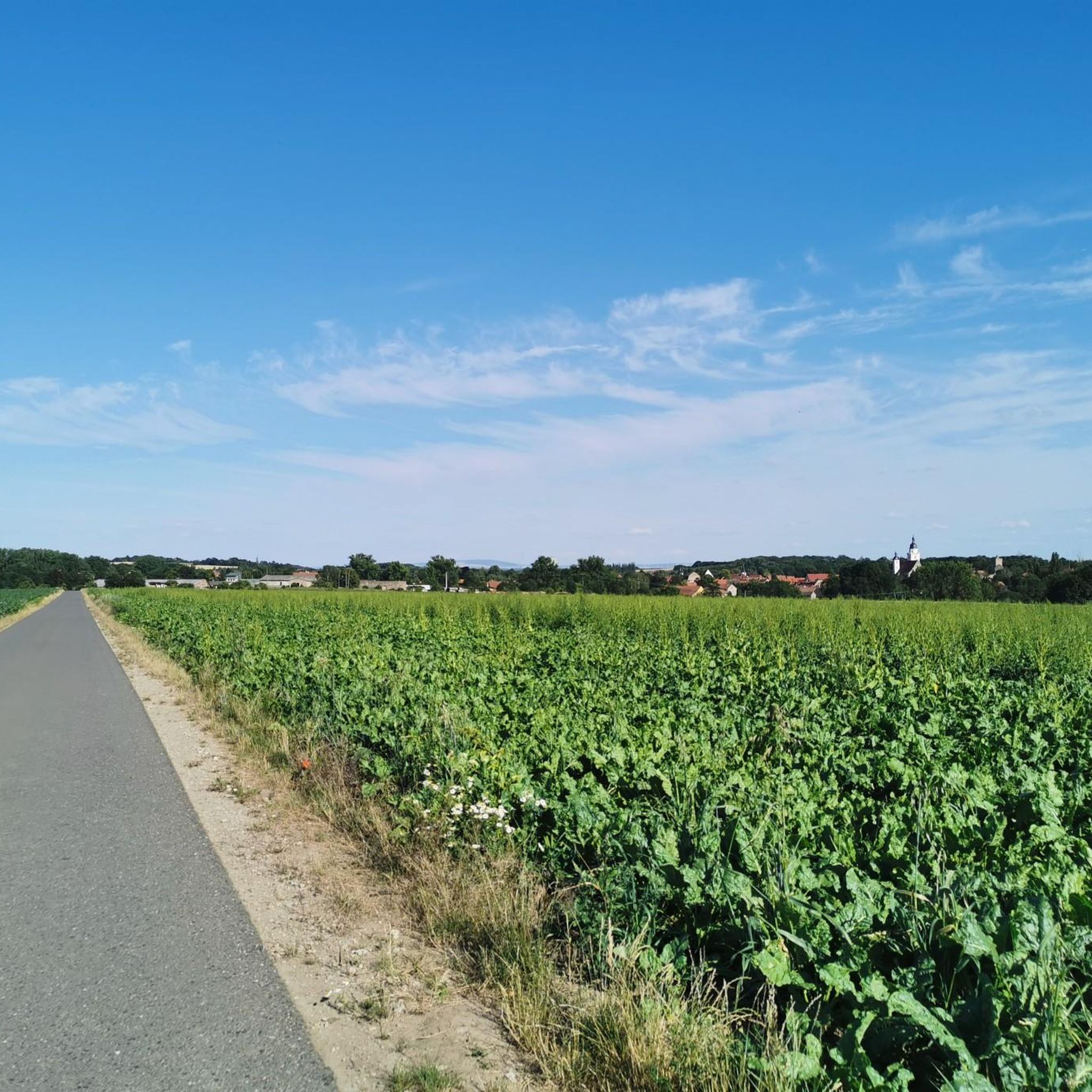
Tips from the Community

Single stamps, often no highlights, somewhere in the fields and meadows, where hares and hedgehogs usually say goodnight to each other, where thousands now go and are eyed strangely by locals – did it have to be chosen like this? Touringen organizers, it could definitely be done better! Exploring Thuringia is truly interesting and beautiful, we say that so often on the road! You get to places you'd never have strayed into before. But guiding thousands of people to often questionable individual highlights is truly ecologically counterproductive. What were the people in charge thinking? 😳
0
0

quiet rest area on the K 2 cycle path
0
0
Kneipp pool on the K 2 cycle path. Good resting place.
0
0

Very nice little place
2
0

Unfortunately it was closed. Beautiful village church.
0
0

Stamping point for cycling. Well, ok, but nothing more.
2
0

Small rest area with a hunter's bench, Kneipp pool and a Touringen stamp box.
0
0
Frequently Asked Questions
How many hiking trails are available around Mittelsömmern?
There are over 160 hiking routes around Mittelsömmern, offering a wide range of options for different preferences and skill levels. The region is known for its rolling hills, dense forests, and scenic river valleys.
What is the best time of year to go hiking in the Mittelsömmern area?
The best times for hiking in the Unstrut-Hainich-Kreis, where Mittelsömmern is located, are generally spring and autumn. During these seasons, the weather is mild, and the natural scenery is particularly vibrant with blossoming plants or golden foliage.
Are there any easy hiking trails suitable for beginners or casual walkers?
Yes, a significant number of trails around Mittelsömmern are considered easy. Out of the over 160 routes, more than 100 are classified as easy, making them perfect for beginners or those looking for a relaxed walk. An example is the St. Anna Church (Tottleben) – Rest Area on the K2 Cycle Path loop from Tottleben, which is an easy 3.4 km loop.
What kind of terrain can I expect on the hiking trails around Mittelsömmern?
The terrain around Mittelsömmern is diverse, characterized by rolling hills, dense forests, and scenic river valleys. You'll find paths leading through agricultural landscapes, woodlands, and open fields, offering varied natural experiences.
Are there any family-friendly hiking options near Mittelsömmern?
While specific family-themed trails directly in Mittelsömmern are not highlighted, the broader region, especially the Hainich National Park, offers attractions like the Treetop Trail (Baumkronenpfad Hainich) and the Fairy Trail (Feensteig), which are popular with families. Many of the easy loops around Mittelsömmern are also suitable for families.
What natural features or landmarks can I see while hiking in the region?
The region offers several natural features and landmarks. You can explore the Unstrut Valley Nature Reserve between Nägelstedt and Großvargula, known for its rich biodiversity. Other notable spots include the Holz Spring at Wülfersberg and various castles like the Herbsleben Castle Ruins.
Are there any circular hiking routes available?
Yes, many of the hiking routes around Mittelsömmern are circular. For example, the Grollplatz loop from Rohnstedt is a 4.8 km circular trail, offering a convenient way to explore the local landscape without retracing your steps.
What do other hikers say about the trails in Mittelsömmern?
The hiking routes in Mittelsömmern are highly rated by the komoot community, with an average score of 4.6 stars from over 300 reviews. Hikers often praise the varied terrain, from rolling hills to dense forests, and the well-maintained paths that make for enjoyable outdoor experiences.
Are there any longer, more challenging hikes for experienced hikers?
While the majority of routes are easy to moderate, there is at least one difficult trail available for experienced hikers seeking a greater challenge. For extensive excursions, the Hainichlandweg, a long-distance hiking trail, forms a large loop through the entire Hainich region, offering a more demanding experience.
Is public transport available to access hiking trailheads near Mittelsömmern?
Information on specific public transport connections to individual trailheads is not readily available. However, Mittelsömmern is a municipality within the Unstrut-Hainich-Kreis, and local bus services typically connect villages within the district. It is advisable to check local transport schedules for routes to specific starting points.
Are there opportunities for dog-friendly hiking in the area?
The natural landscapes around Mittelsömmern, with their extensive forests and open fields, generally offer good opportunities for hiking with dogs. While specific dog-friendly trails are not listed, many of the less crowded routes, such as the Creative wooden sculpture tree loop from Mittelsömmern, are suitable for walks with leashed dogs. Always ensure to follow local regulations regarding pets in natural areas.
What kind of wildlife might I encounter on the trails?
The region, particularly the Unstrut River and Valley Nature Reserve, is known for its rich biodiversity. You might encounter various insects, including 35 butterfly species, and a diverse range of birds. The dense forests, especially in areas like the Hainich National Park, are home to a variety of forest wildlife.
Most popular attractions around Mittelsömmern

Get inspired with the komoot mobile app


Explore more
Browse the best Hikes in other regions.
