The best walks and hikes around Rural Municipality of Lac du Bonnet
5.0
(2)
8
hikers
5
hikes
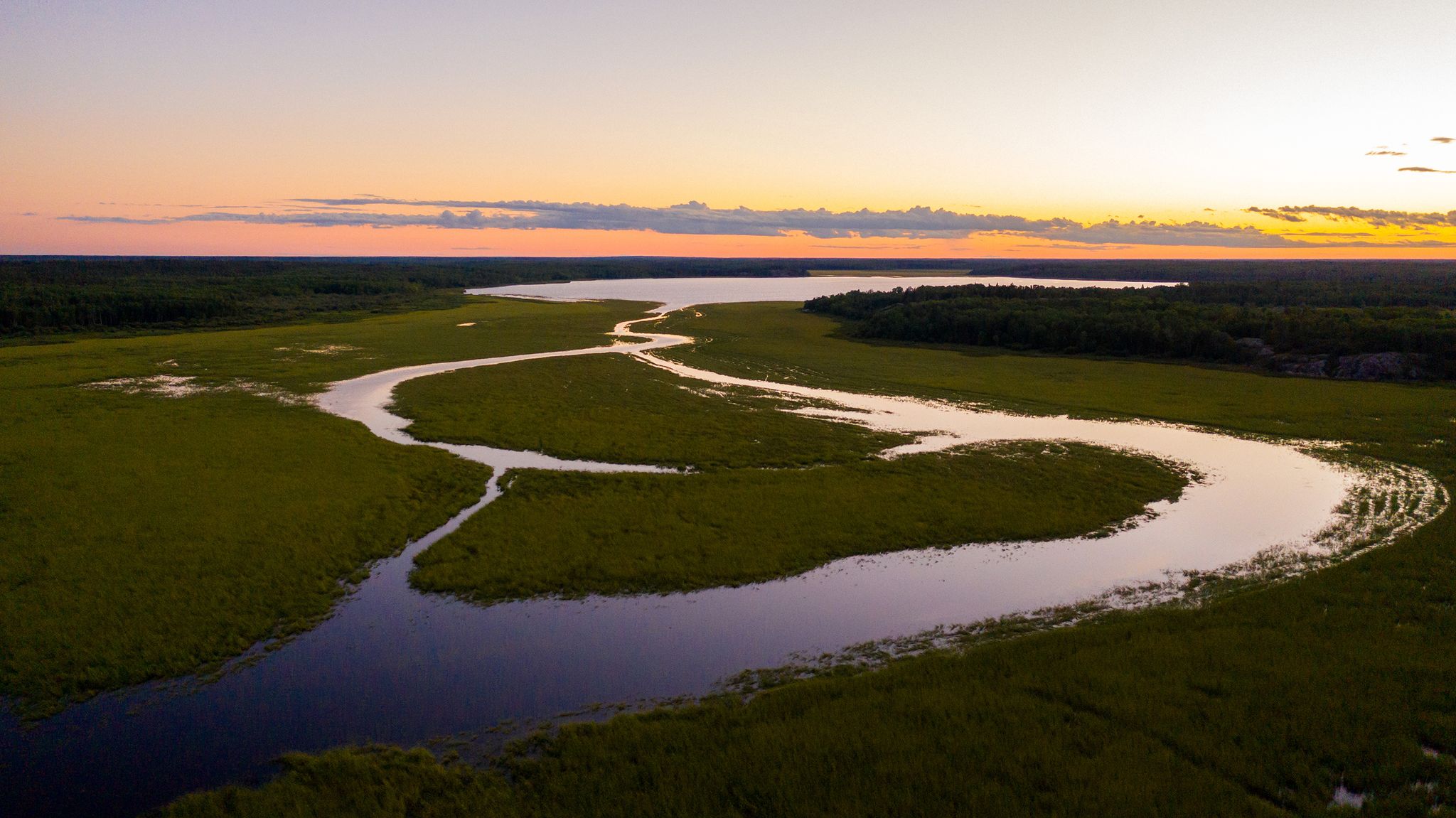
Hiking around Rural Municipality of Lac du Bonnet offers diverse landscapes at the transition point between prairie farmland and the northern boreal forest. The region is characterized by forests, rivers, lakes, wetlands, and prominent granite outcrops of the Canadian Shield. Hikers can experience varied ecological environments and views of the Winnipeg River.
Best hiking trails around Rural Municipality of Lac du Bonnet
- The most popular hiking route is Pinawa Trail – Whiteshell Provincial Park, a 6.3 miles (10.1 km)…
Last updated: October 5, 2026
5.0
(2)
6
hikers
10.1km
02:33
20m
20m
Moderate hike. Good fitness required. Easily-accessible paths. Suitable for all skill levels.
4.91km
01:16
20m
20m
Easy hike. Great for any fitness level. Easily-accessible paths. Suitable for all skill levels.

2
hikers
8.60km
02:14
50m
50m
Moderate hike. Good fitness required. Easily-accessible paths. Suitable for all skill levels.
1.40km
00:23
20m
20m
Easy hike. Great for any fitness level. Easily-accessible paths. Suitable for all skill levels.
1.97km
00:31
10m
10m
Easy hike. Great for any fitness level. Easily-accessible paths. Suitable for all skill levels.
Our route recommendations are based on thousands of hikes, rides, and runs completed by other people on komoot.
Start today with a free account
Your next adventure awaits.
Popular around Rural Municipality of Lac du Bonnet
Other adventures around Rural Municipality of Lac du Bonnet

Tips from the Community

Boonta Eve Classic is a roughly 1.6-kilometre section of the Granite Groove Out network, crossing exposed Canadian Shield and short stretches of forest. It’s best known as a mountain bike trail, but the rocky terrain also makes for an interesting hike, with uneven footing and plenty of natural features to pick your way across.
0
0
Granite Groove Out is an 8.5-kilometre hand-built trail network spread across broad slabs of Canadian Shield granite above the Lee River. It’s best known for mountain biking, but hikers also use the network, with the exposed rock making for an unusual walk through this part of Manitoba. Expect rough, uneven footing, short rocky climbs and stretches of forest between the granite slabs. Keep an eye out for riders on the more technical sections. It’s rideable from early spring into late autumn, but the rough surface suits confident riders best, and a full-suspension bike is recommended.
0
0

This large dirt parking lot is the trailhead for the Orange and Pink Trail in the Blueberry Trails system. The pink trail is also the Trans Canada Trail. This parking area is very large, with a small pit toilet and a trash can.
0
0
The Blueberry Rock Hiking Trails network is colour coded, with a pink, purple, blue, orange, and green trail in the system. This is the Orange Trail, taking hikers from Point D (the lookout tower) to Point E (the parking area on Blueberry Rock Drive). This Orange Trail is the longest, spanning 840 metres one way.
0
0
Blueberry Rock is a large rocky bald with well-equipped picnic sites and a wooden observation tower marking the summit. There are public grills, benches, and tables up at the top, but no real shelter if it rains.
0
0

To take in the best views, cross the wooden footbridges and follow the self-guided interpretive trail that loops around the granite bedrock. You will find incredible vantage points of the channel contrasted against the weathered, moss-covered concrete ruins.
0
0
The trail features 13 helpful interpretive signs that explain exactly how workers poured the concrete by hand using wheelbarrows. This section of the Dam Tour combines flat gravel terrain with sturdy upper and lower walkways that takes you to panoramic views of the cascading waterfalls.
0
0
Over the decades, nature has reclaimed the structures, turning the old spillways into a series of roaring rapids and waterfalls that look like a modern-day archaeological wonder.
0
0
Frequently Asked Questions
What kind of landscapes can I expect to see while hiking in the Rural Municipality of Lac du Bonnet?
The region offers a unique blend of prairie farmland and northern boreal forest, providing diverse scenery. You'll encounter stunning forests, rivers, lakes, wetlands, and prominent granite outcrops characteristic of the Canadian Shield. Many trails also feature picturesque views of the Winnipeg River.
Are there any easy hiking trails suitable for beginners or a relaxed stroll?
Yes, the Rural Municipality of Lac du Bonnet has several easy trails. For instance, the Blueberry Rock via Orange Trail is an easy 2 km loop offering scenic views and opportunities for blueberry picking in season. Another great option is the Pinawa Dam Provincial Park loop, which is about 1.4 km and explores the historic ruins.
Can I find trails with waterfalls or rapids in the area?
Absolutely! The Seven Sisters Falls loop in Whitemouth Falls Provincial Park is an easy 4.9 km hike that will lead you to beautiful falls. Additionally, Old Pinawa Dam Provincial Heritage Park, accessible from the region, features scenic walking trails with views of rapids and waterfalls near the ruins of Manitoba's first hydroelectric generating station.
Are there any circular hiking routes available?
Yes, several trails offer a convenient loop format. The Seven Sisters Falls loop and the Pinawa Dam Provincial Park loop are both excellent circular options, allowing you to start and end at the same point without retracing your steps.
What is the best time of year to go hiking in the Rural Municipality of Lac du Bonnet?
Often referred to as a "Four Seasons Playground," the Rural Municipality of Lac du Bonnet offers great hiking opportunities year-round. Spring and fall provide comfortable temperatures and vibrant scenery, while summer is ideal for enjoying the lakes and rivers. In winter, many trails, including sections of The Great Trail, convert to snowshoeing and cross-country skiing routes.
Are there any trails that offer good viewpoints or lookout towers?
Yes, the Blueberry Rock Hiking Trails are known for providing stunning views of the Winnipeg River from a lookout tower. These trails also feature exposed granite and open rock faces, characteristic of the Precambrian Shield, offering unique vistas.
What kind of wildlife can I expect to see on the trails?
Due to its diverse ecological environment at the transition point between prairie and boreal forest, the region is rich in wildlife. You can expect to spot various animals and over 300 species of birds, making it a fantastic destination for birdwatching and nature photography.
Are there any longer, more challenging hikes in the area?
While many trails are easy, you can find moderate options like the Pinawa Trail – Whiteshell Provincial Park. This route spans over 10 km and offers a more extended experience through the natural landscape.
What do other hikers enjoy most about hiking in the Rural Municipality of Lac du Bonnet?
The area is highly rated by the komoot community, with a perfect 5-star rating. Reviewers often praise the diverse landscapes, the opportunities for wildlife spotting, and the well-maintained trails that cater to various skill levels.
Are there any historical sites or points of interest along the hiking routes?
Yes, the Old Pinawa Dam Provincial Heritage Park is a significant historical site. It showcases the ruins of Manitoba's first hydroelectric generating station, offering a unique blend of natural beauty and historical exploration along its scenic walking trails.
Are the trails in the Rural Municipality of Lac du Bonnet suitable for families with children?
Many trails in the region are family-friendly, particularly the shorter, easy loops. The Blueberry Rock Hiking Trails, for example, are an easy 1.8 km loop, perfect for families looking for a gentle trek with opportunities for wildlife spotting and even blueberry picking when in season.
Is parking available at the trailheads?
While specific parking details vary by trailhead, the Rural Municipality of Lac du Bonnet is generally well-equipped for visitors. Most popular trailheads and provincial parks in the area, such as Old Pinawa Dam Provincial Heritage Park and Blueberry Rock, offer designated parking facilities for hikers.

Get inspired with the komoot mobile app


Explore more
Browse the best Hikes in other regions.
