The best MTB trails around Mittelnkirchen
4.6
(756)
1,605
riders
248
rides
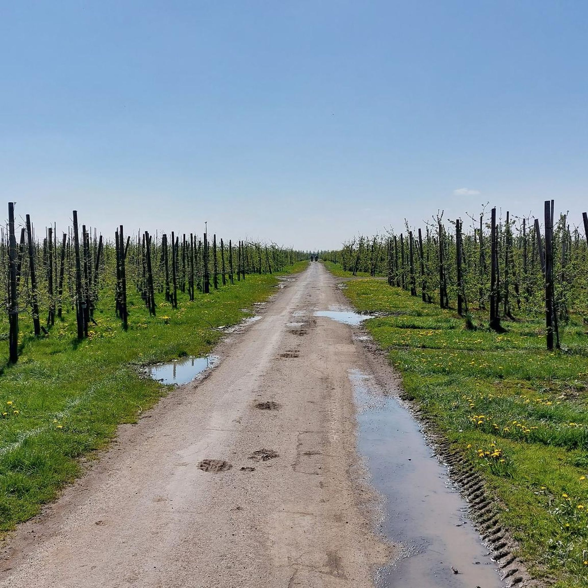
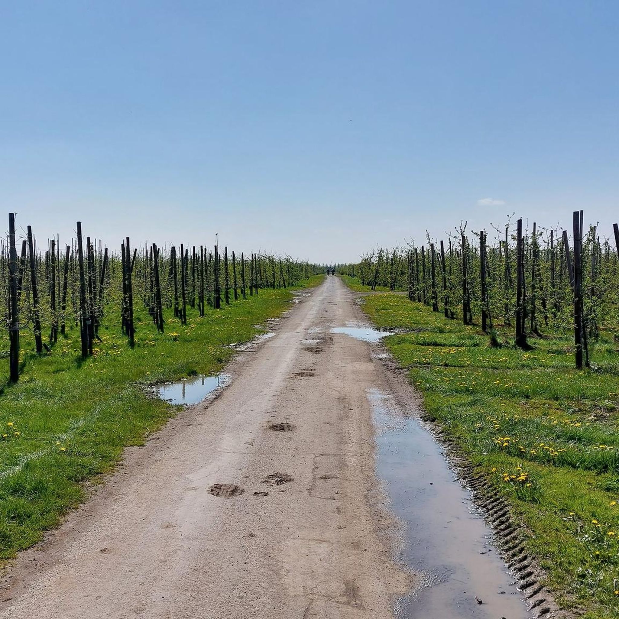
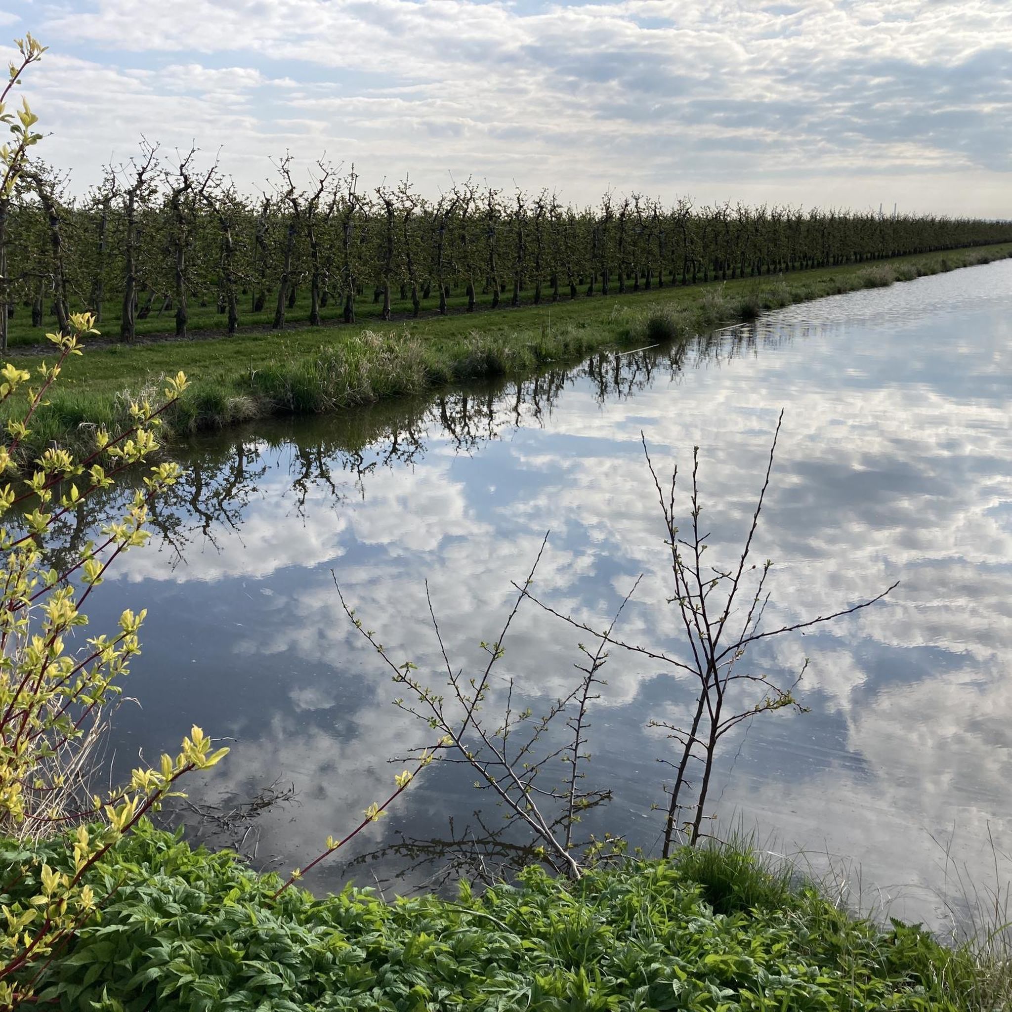
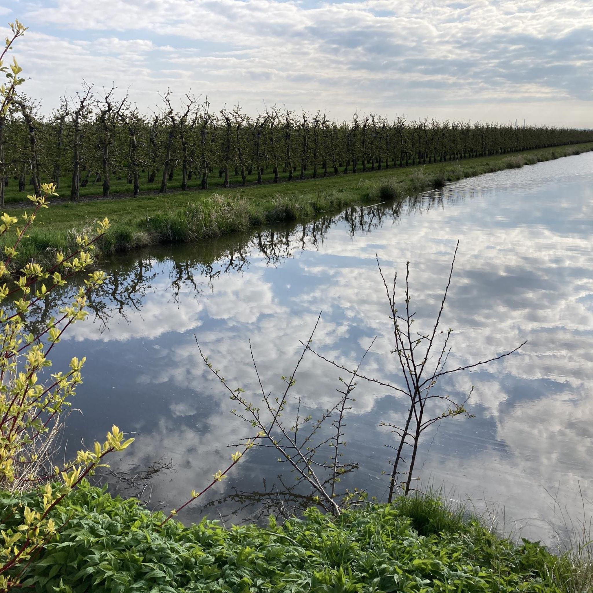
Mountain biking around Mittelnkirchen offers routes primarily through the flat, agricultural landscape of the Altes Land region in Germany. The terrain is characterized by extensive fruit orchards and a network of paths along the Elbe River dikes. While lacking significant elevation changes typical of traditional mountain biking, the area provides numerous off-road cycling opportunities. Some routes also traverse the forests and moors of the Stade Geest, offering varied environments for exploration.
Best mountain bike trails in Mittelnkirchen
- The most popular…
Last updated: May 17, 2026
4.3
(20)
73
riders
Moderate mountain bike ride. Good fitness required. Suitable for all skill levels.
4.6
(16)
72
riders
Moderate mountain bike ride. Good fitness required. Suitable for all skill levels.

Sign up for free
4.7
(15)
13
riders
Easy mountain bike ride. Great for any fitness level. Suitable for all skill levels.
5.0
(2)
11
riders
Easy mountain bike ride. Great for any fitness level. Suitable for all skill levels.
5.0
(1)
11
riders
Easy mountain bike ride. Great for any fitness level. Suitable for all skill levels.
Get access to more routes and recommendations from other explorers.
Sign up for free
Already have an account?
Our route recommendations are based on thousands of hikes, rides, and runs completed by other people on komoot.
Start today with a free account
Your next adventure awaits.
Login or Signup
Tips from the Community

Great cycle path through nature. Always along the railway line
0
0

A great cycle route and hiking trail runs along here directly beside the railway line. The path has been laid with gravel and is now easier to cycle on. A nice short shortcut. Highly recommended.
1
0
Beautiful landscapes can be seen throughout the Alte Land and beautiful old half-timbered houses.
1
0
A great cycling and hiking route runs along here at the Lühe Anleger. A visit is recommended at any time of the year. The Lühe Schulau ferry runs back and forth to Schulau several times a day. A large playground for children is located here with many beautifully landscaped seating areas. Many kiosks offer their delicacies, a visit is recommended. Opposite the Lühe Anleger, there is a public toilet right next to the tourist information office.
7
0
A great bike and hiking route leads along here amidst beautiful nature.
2
0

Great views of the Elbe 1 and Elbe 2 masts can be enjoyed from a fantastic bike tour along the motorway amidst the apple orchards.
2
0
Elbe Crossing 2 is a 380 kV three-phase overhead power line built between 1976 and 1978 along the Elbe River. It was commissioned in 1978. The line connects the Wilster substation with the Dollern substation. Designed for four three-phase circuits with an operating voltage of 380 kV, this crossing complements the Elbe Crossing, which was commissioned in 1962. TenneT TSO operates the Elbe Crossing.
3
0
Frequently Asked Questions
How many mountain bike trails are there around Mittelnkirchen?
There are over 250 mountain bike trails around Mittelnkirchen, offering a wide range of options for exploration. These include 131 easy routes, 122 moderate routes, and a few more challenging trails.
What is the typical terrain like for mountain biking in Mittelnkirchen?
The terrain around Mittelnkirchen is predominantly flat, characterized by extensive fruit orchards and paths along the Elbe River dikes. While not featuring significant elevation changes typical of traditional mountain biking, the area provides numerous off-road cycling opportunities. You can also find varied environments through the forests and moors of the Stade Geest.
Are there mountain bike trails for different skill levels?
Yes, Mittelnkirchen offers trails for various skill levels. You'll find a large selection of easy and moderate routes, perfect for relaxed rides through the scenic landscape. There are also a few more challenging trails for those seeking a bit more adventure.
What are the elevation changes like on trails in Mittelnkirchen?
The trails in Mittelnkirchen and the wider Altes Land region are generally flat, with very low elevation gains. For example, the St. Cosmae Church, Stade – Lühe-Anleger Ferry Terminal loop from Guderhandviertel, an easy 23.4-mile route, has less than 60 meters of elevation gain. This makes the area ideal for leisurely rides and gravel biking rather than routes with significant climbs.
When is the best time of year to go mountain biking in Mittelnkirchen?
The best time to go mountain biking in Mittelnkirchen is during the spring blossom (typically April/May) when the fruit orchards are in full bloom, or during the autumn harvest season (August/September) for scenic views and fresh produce. The region's flat terrain makes it enjoyable throughout the warmer months.
Are there any specific landmarks or attractions along the routes?
Yes, many routes pass by notable landmarks and natural features. You can cycle through the vast Apple Orchards of Altes Land, enjoy views of the Elbe River, or see traditional half-timbered houses. The Jork - beautiful half-timbered houses – Lühe-Anleger Ferry Terminal loop from Samtgemeinde Lühe is a great example of a route showcasing these charming buildings.
Is there parking available near the mountain bike trails?
Yes, parking is generally available in and around Mittelnkirchen, particularly in the larger towns and villages within the Altes Land region. Many trailheads or starting points for routes will have designated parking areas, often near public facilities or ferry terminals.
Can I reach the trails using public transport?
Yes, the region is accessible by public transport. An Elbe Cycle Touring Bus operates from spring to autumn, allowing cyclists to transport their bikes for sections of their journey, connecting various locations and ferry terminals. This provides flexibility for planning your rides.
Are the mountain bike trails in Mittelnkirchen family-friendly?
Absolutely. Given the predominantly flat terrain and extensive network of well-signposted cycle paths, many routes around Mittelnkirchen are very family-friendly. They are suitable for relaxed tours, allowing families to enjoy the scenic orchards and river dikes together.
Can I bring my dog on the mountain bike trails?
Many of the paths and trails in the Altes Land region are suitable for cycling with dogs, especially the wider dikes and quieter orchard paths. However, it's always advisable to keep your dog on a leash, particularly in agricultural areas or near livestock, and to check local regulations for specific trails.
What do other mountain bikers enjoy the most about mountain biking in Mittelnkirchen?
The area is highly rated by the komoot community, with an average score of 4.5 stars from over 700 reviews. Reviewers often praise the tranquil environment, the beautiful scenery of the fruit orchards and Elbe River, and the well-maintained, easy-to-navigate paths that are perfect for a relaxed ride.
Are there any dedicated bike parks or more technical riding options nearby?
While the natural terrain is generally flat, for those seeking more technical riding, the Bikepark Altes Land in Grünendeich is a popular destination not far from Mittelnkirchen. It features a clay course with ramps and a wave track (pump track) designed for BMX, mountain bikes, and dirt bikes, accommodating both beginners and advanced riders.
Where can I find refreshments or accommodation for cyclists in the area?
The Altes Land region is well-equipped for visitors. You'll find numerous cafes, pubs, and farm shops along the routes, especially in villages like Jork and along the Elbe. Many establishments cater to cyclists, offering places to rest and refuel. Accommodation options, from guesthouses to hotels, are also available throughout the region.
Most popular routes around Mittelnkirchen
Most popular attractions around Mittelnkirchen

Get inspired with the komoot mobile app


Explore more
Browse the best MTB trails in other regions.
