The best volcano hikes and walks in Cabo De Gata-Nijar
4.4
(3026)
12,619
hikers
6
hikes
Volcano hiking trails in Cabo De Gata-Nijar traverse a unique landscape shaped by its volcanic origin, rugged coastlines, and arid environment. The region features dramatic cliffs, ancient volcanic structures, and hidden coves along the Mediterranean Sea. This protected area is characterized by lava flows, volcanic domes, and sharp peaks, offering diverse terrain for exploration. The Sierra del Cabo de Gata mountain range provides rewarding hikes with both coastal and inland views.
Best volcano hiking trails in Cabo De Gata-Nijar
- The most popular volcano hiking route is Granatilla Volcano – Isabel II Reservoir loop from Aparcamiento del volcán El Hoyazo, a 7.3 miles (11.8 km) trail that takes about 3 hours 28 minutes to complete. This moderate route offers views of the volcanic landscape and reservoir.
- Another top favourite among local hikers is Granatilla Volcano – Granadilla Crater loop from Aparcamiento del volcán El Hoyazo, an easy 2.1 miles (3.4 km) path. This trail explores volcanic formations and is often completed in about 1 hour 9 minutes.
- Local hikers also love the Granatilla Volcano loop from Aparcamiento del volcán El Hoyazo, a 3.3 miles (5.3 km) trail leading through volcanic terrain, often completed in about 1 hour 39 minutes.
- Hiking in Cabo De Gata-Nijar is defined by volcanic formations, rugged coastlines, and arid landscapes. The network offers options for different ability levels, from easy loops to moderate ascents.
- The routes in Cabo De Gata-Nijar are highly rated by the komoot community with an average score of 4.4 stars from more than 2,900 reviews. More than 12,000 hikers have used komoot to explore Cabo De Gata-Nijar's varied terrain.
Last updated: August 31, 2026
3.0
(2)
17
hikers
Moderate hike. Good fitness required. Easily-accessible paths. Suitable for all skill levels.
5.0
(2)
4
hikers
1.76km
00:31
50m
50m
Easy hike. Great for any fitness level. Easily-accessible paths. Suitable for all skill levels.

Sign up for free
5.0
(1)
3
hikers
1.76km
00:32
50m
50m
Easy hike. Great for any fitness level. Easily-accessible paths. Suitable for all skill levels.
4.0
(1)
4
hikers
Easy hike. Great for any fitness level. Easily-accessible paths. Suitable for all skill levels.
2
hikers
5.27km
01:35
150m
160m
Easy hike. Great for any fitness level. Easily-accessible paths. Suitable for all skill levels.
Our route recommendations are based on thousands of hikes, rides, and runs completed by other people on komoot.
Start today with a free account
Your next adventure awaits.
Login or Signup
Popular around Cabo De Gata-Nijar
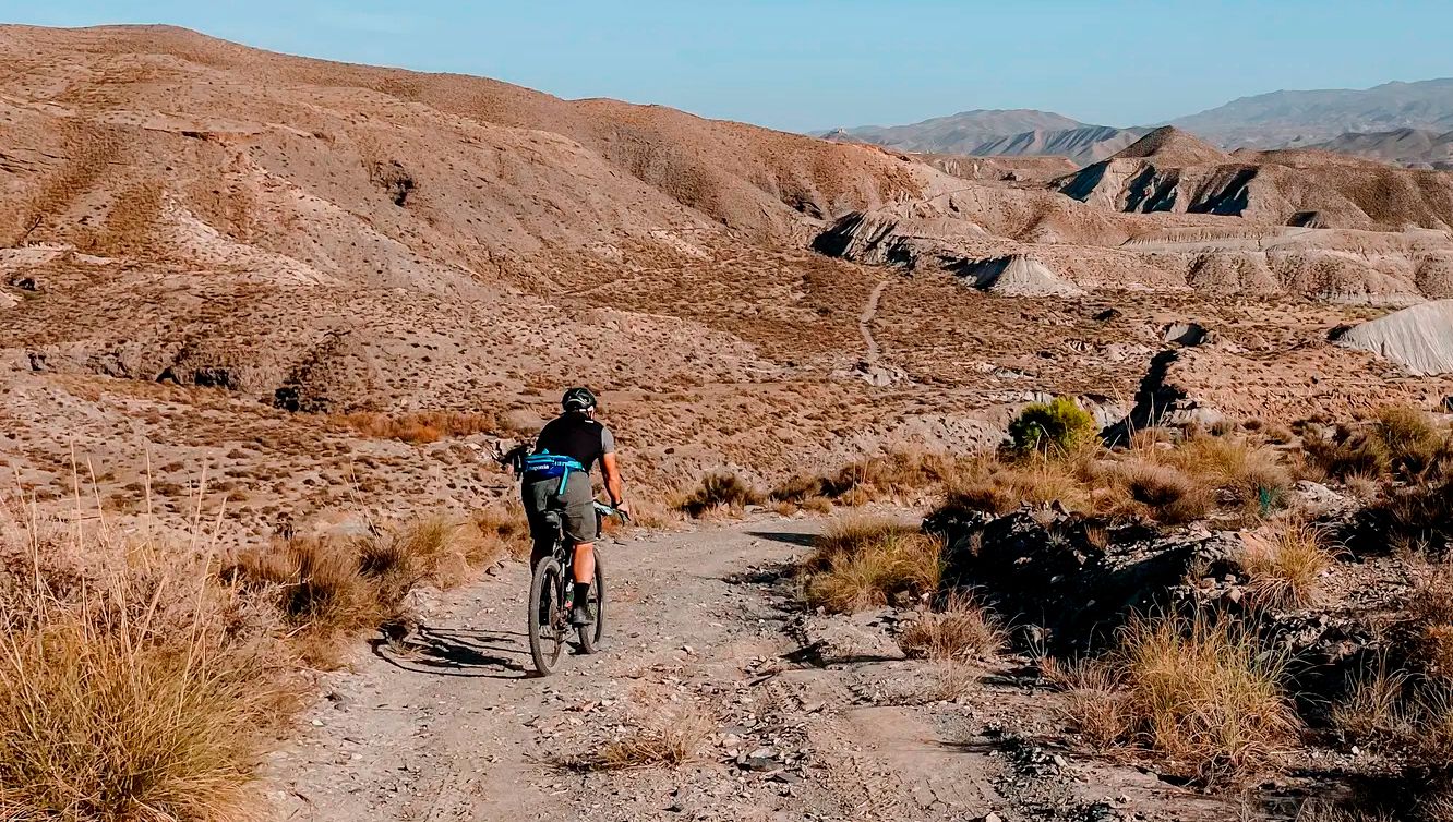
TransAlmería Gravel – Summits, dry riverbeds and deserts
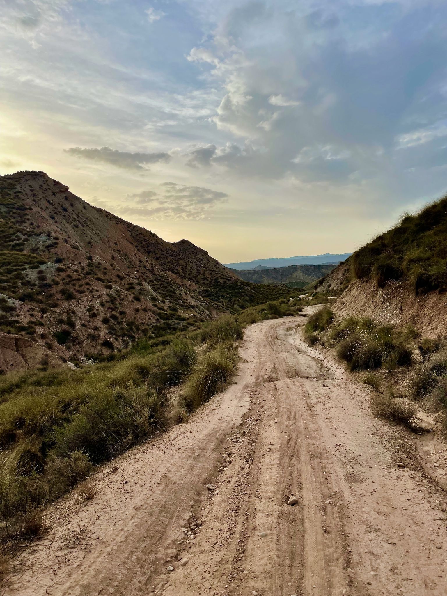
Badlands 2021 — 750km of gravel in the Spanish deserts

On the road to the sun — bikepacking to southeast Spain
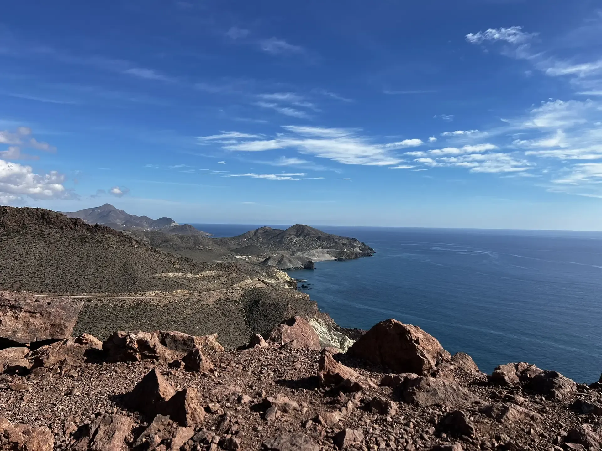
The Wild Side Of Almería — Transalmería By Mountain Bike
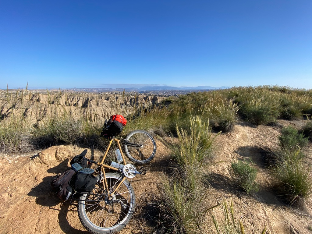
Mountain, Desert and Sea — Andalusian Trilogy
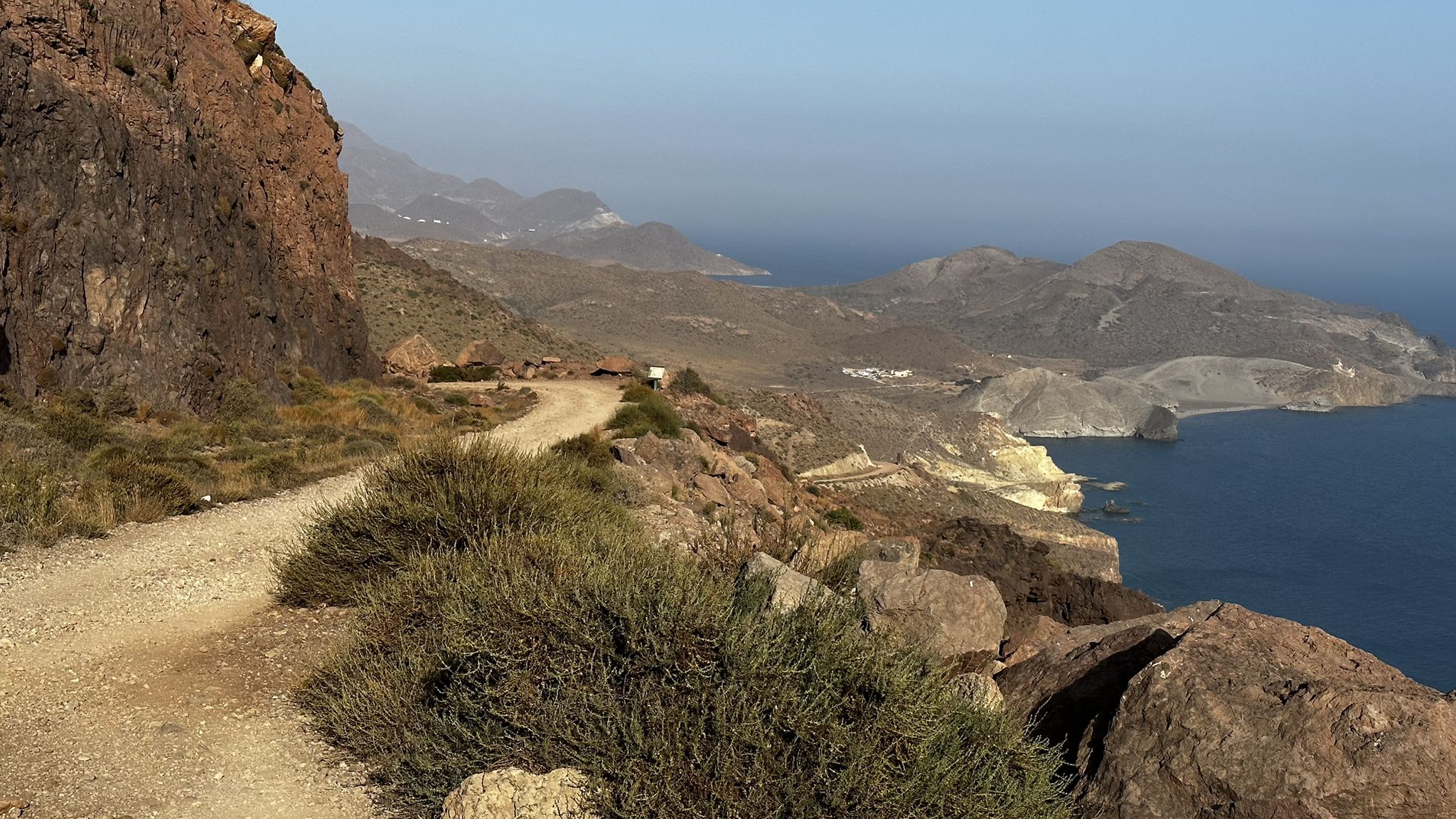
Beaches and desert – TransAlmería by MTB (El Levante)
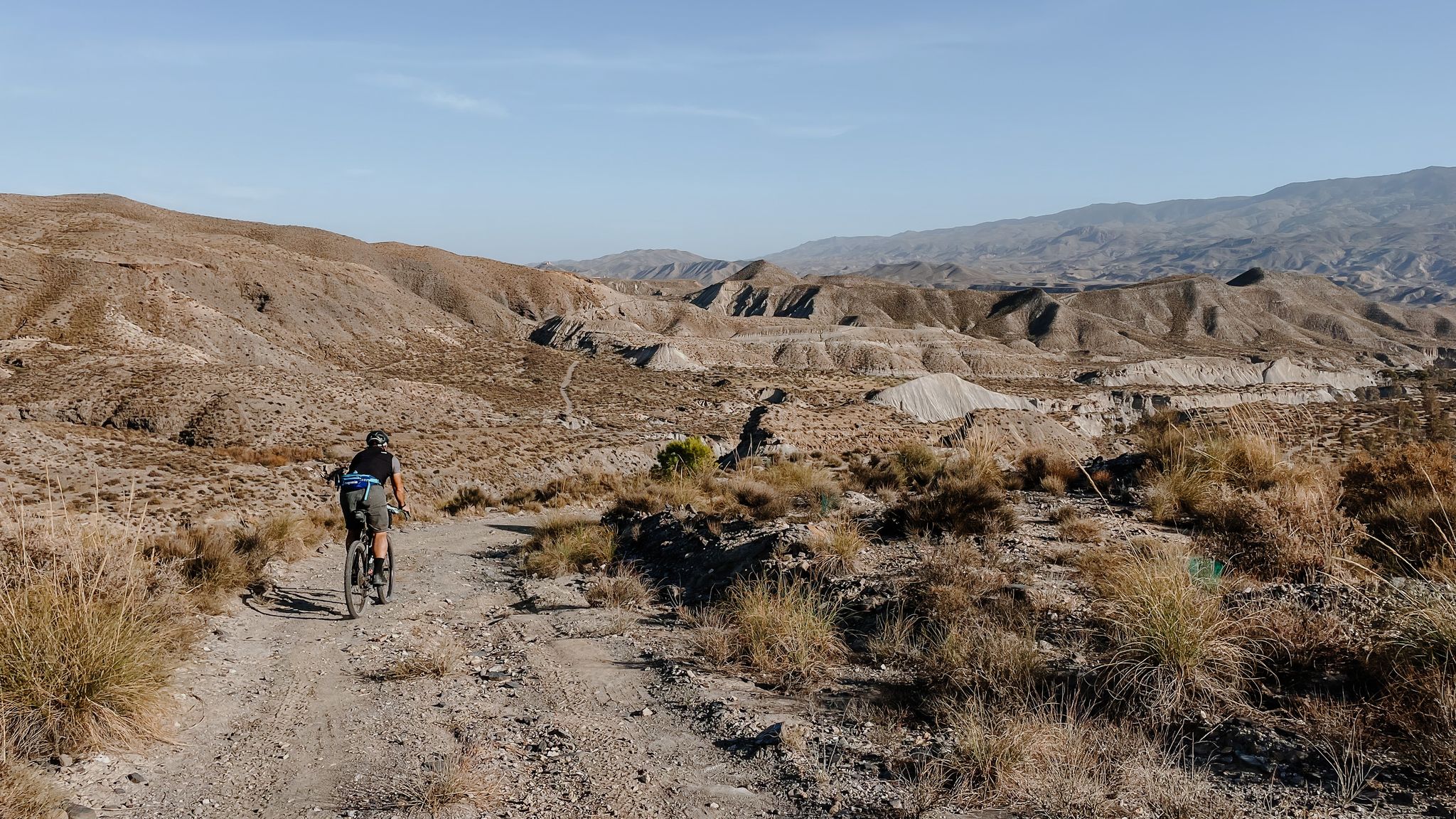
High mountains, desert and sea – an adventure of contrasts in Andalusia
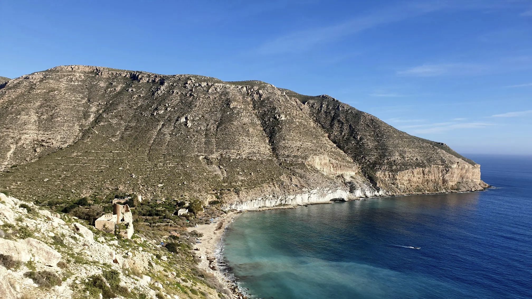
A bike ride that’s like a movie – Natural Park of Cabo de Gata-Níjar

Let’s head south – cycle in Andalusia with me and my dog

Wild and free Andalusia – Transandalus through the interior
Other adventures in Cabo De Gata-Nijar


Tips from the Community

Its origin dates back to about 6.2 million years ago. The crater, located in the town of Níjar, has a conical shape with the cone half collapsed and eroded.
1
0
Inaugurated in 1850, the Isabel II reservoir was a failure due to its scarcity of rainwater and the large amount of mud formed by the sediments. Its initial objective was to irrigate the crops in the fields of Níjar and its surroundings, but it is currently in a poor state of conservation, with part of the structure in ruins. Even so, the place offers impressive views of the Cabo de Gata-Níjar Natural Park,
1
0
Its origin dates back to about 6.2 million years ago. The crater, located in the town of Níjar, has a conical shape with the cone half collapsed and eroded.
3
0
Frequently Asked Questions
How many volcano hiking trails are there in Cabo de Gata-Níjar?
There are currently 6 volcano hiking trails available in Cabo de Gata-Níjar on komoot, offering a range of experiences from easy strolls to more challenging routes.
What are the typical difficulties of volcano hikes in Cabo de Gata-Níjar?
The volcano hikes in Cabo de Gata-Níjar generally range from easy to moderate. Most of the trails are considered easy, perfect for a relaxed exploration, while one route is rated as moderate, offering a bit more challenge. There are no difficult routes listed in this guide.
Are there any circular volcano hiking routes?
Yes, several circular routes allow you to start and end at the same point, offering convenient exploration of the volcanic landscapes. For example, you can explore the Granatilla Volcano – Isabel II Reservoir loop from Aparcamiento del volcán El Hoyazo, which is a moderate 11.7 km hike. There are also shorter, easy circular options like the Granatilla Volcano – Granadilla Crater loop from Cerro del Hoyazo.
What geological features can I expect to see on these trails?
Cabo de Gata-Níjar is renowned for its unique volcanic geology. On these trails, you'll encounter ancient volcanic structures, lava flows, volcanic domes, and calderas. Iconic sights include the Arrecife de las Sirenas, where volcanic chimneys emerge from the sea, and the Mesa Roldán, a volcanic caldera. The landscape is characterized by rugged coastlines, sharp peaks, and crags in striking red and ochre hues, showcasing the region's fiery past.
Are there family-friendly volcano hikes in the park?
Yes, there are several easy volcano hikes suitable for families. Routes like the Granatilla Volcano – Granadilla Crater loop from Aparcamiento del volcán El Hoyazo are shorter and have less elevation gain, making them ideal for a family outing. These trails offer a great way to introduce children to the unique volcanic landscape without being too strenuous.
Can I bring my dog on volcano hiking trails?
While the Natural Park generally welcomes dogs, it's crucial to check specific trail regulations and local signage, especially concerning protected areas or nesting seasons. Always keep your dog on a leash, carry waste bags, and ensure they have enough water, as the arid climate can be challenging for pets.
What is the best time of year to hike the volcanic trails?
The best time to hike the volcanic trails in Cabo de Gata-Níjar is during the cooler months, from autumn (September-November) through spring (March-May). The hot desert climate in summer can make hiking challenging due to high temperatures. Winter offers pleasant conditions, though some days might be cooler or windier.
What should I wear for volcano hiking in Cabo de Gata-Níjar?
Given the arid and often rocky terrain, wear comfortable, sturdy hiking shoes with good grip. Lightweight, breathable clothing is recommended, especially outside of winter. Always bring sun protection, including a hat, sunglasses, and sunscreen, as shade can be scarce. Layers are advisable for cooler mornings or evenings.
Where can I find parking for volcano trails?
Many trailheads, especially for popular routes, have designated parking areas. For instance, the Granatilla Volcano – Isabel II Reservoir loop starts from Aparcamiento del volcán El Hoyazo, indicating a specific parking spot. Always check the route details on komoot for precise starting points and parking information. During peak seasons, parking can fill up quickly, so arriving early is recommended.
What are some nearby attractions or points of interest to explore after a hike?
After your volcano hike, you can explore several fascinating attractions. Visit the Los Genoveses Beach for stunning coastal views, or the historic San Miguel Tower, Cabo de Gata. The Cabo de Gata Salt Pans are a critical area for migratory birds, including flamingos. For panoramic vistas, head to the Views from the Granatilla viewpoint.
Are there any wild swimming spots near the volcano trails?
While the guide focuses on volcano trails, the Cabo de Gata-Níjar Natural Park is famous for its pristine beaches and hidden coves, many of which are accessible via hiking trails. Beaches like Playa de los Muertos, Playa de los Genoveses, and coves such as Mónsul, Cala de Enmedio, and Cala del Plomo offer excellent opportunities for wild swimming in crystal-clear Mediterranean waters after your hike.
What do other hikers enjoy most about volcano hiking in Cabo de Gata-Níjar?
The komoot community highly rates the hiking experience in Cabo de Gata-Níjar, with an average score of 4.4 stars. Reviewers often praise the unique volcanic landscapes, the stunning coastal views, the sense of wild isolation, and the diverse natural features that make each trail a memorable adventure.
Are there any specific regulations or permits needed for hiking in Cabo de Gata-Níjar Natural Park?
Cabo de Gata-Níjar is a Natural Park, meaning certain regulations are in place to protect its unique environment. Generally, no specific permits are required for hiking on marked trails. However, always stick to designated paths, do not disturb wildlife, and practice Leave No Trace principles. During peak seasons, access to certain popular beaches or areas might be restricted or require shuttle bus use, so it's wise to check local park information before your visit.
Where can I find accommodation or places to eat near the volcano hiking areas?
The Natural Park has several charming villages that offer accommodation, cafes, and restaurants. San José, Las Negras, Agua Amarga, and Rodalquilar are popular bases for hikers. These villages provide a range of options from guesthouses to hotels, and local eateries where you can enjoy traditional Andalusian cuisine after a day on the trails.
Most popular routes in Cabo De Gata-Nijar
Most popular attractions in Cabo De Gata-Nijar

Get inspired with the komoot mobile app


Explore more
Browse the best Hikes in other regions.
