The best MTB trails around Mittelherwigsdorf
4.7
(982)
3,736
riders
15
rides
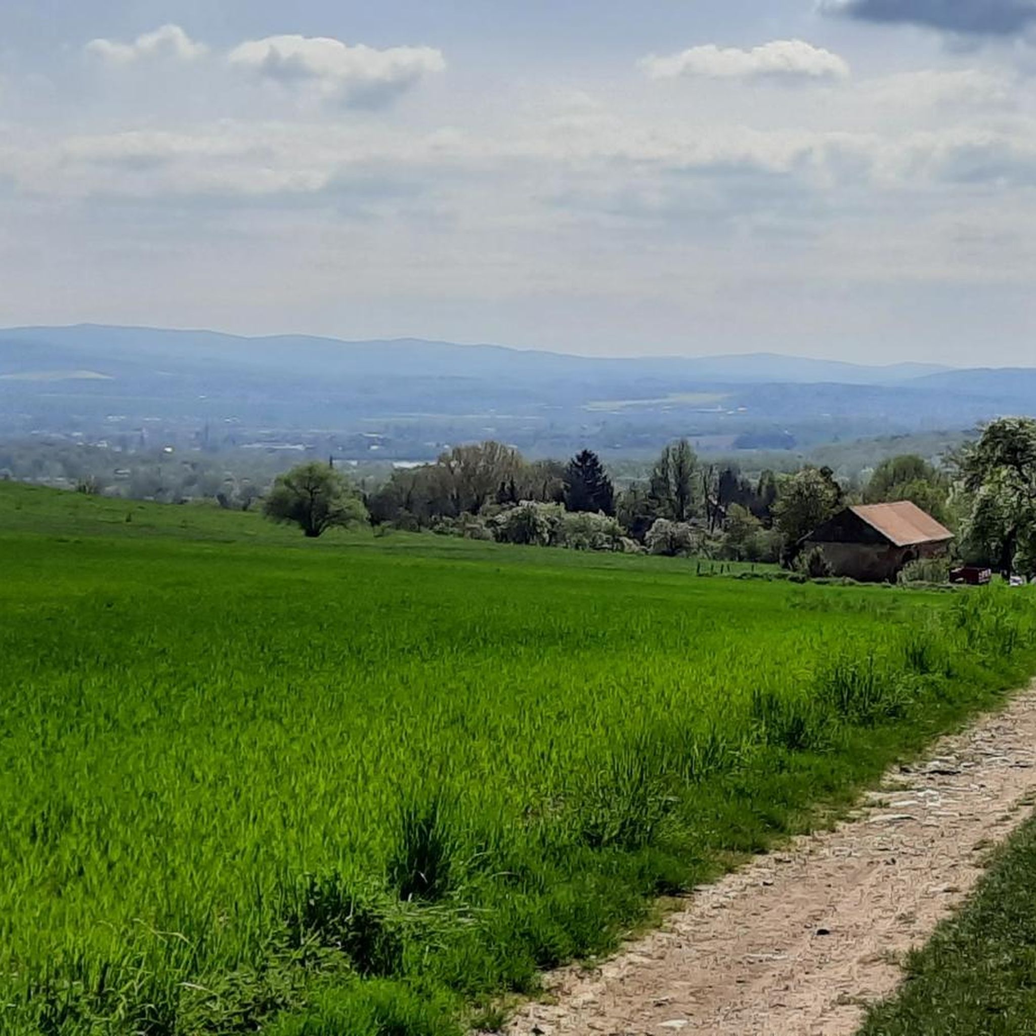
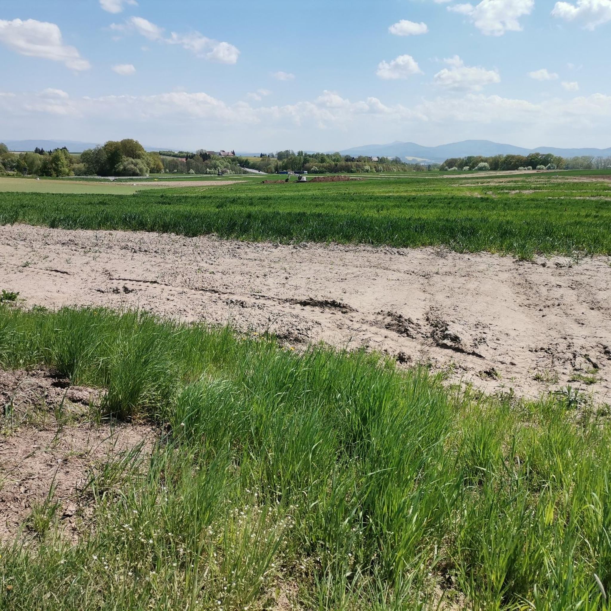
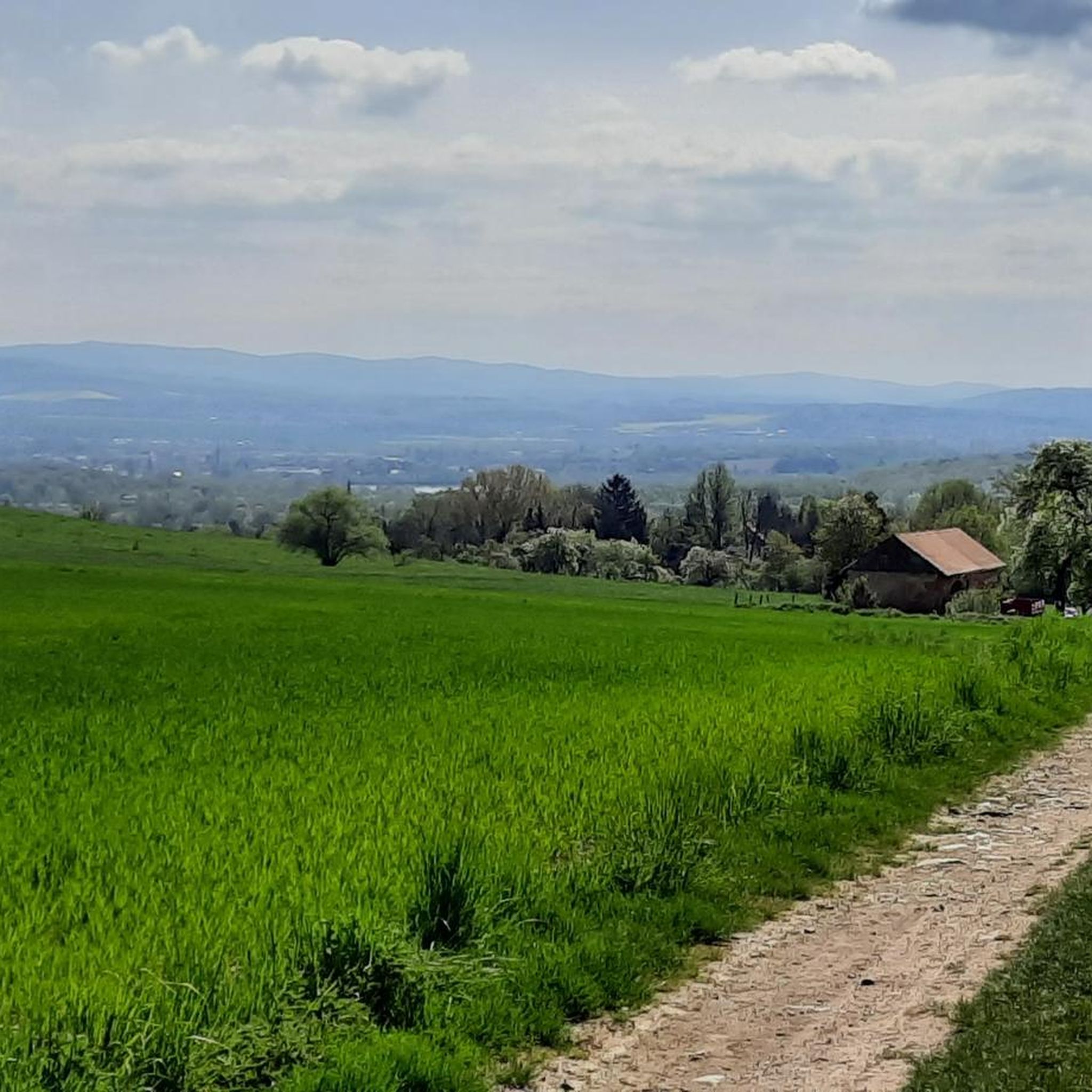
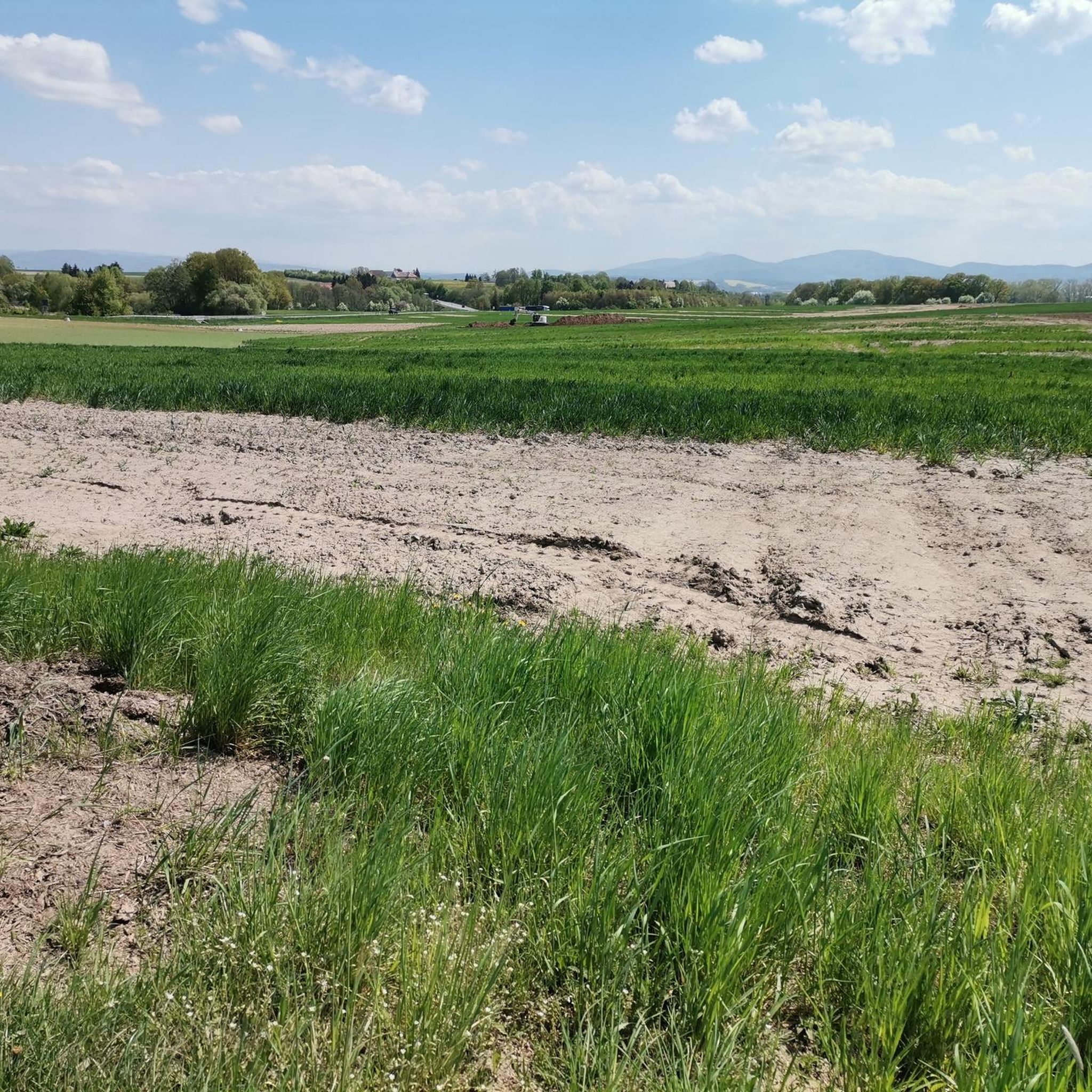
Mountain biking around Mittelherwigsdorf offers a diverse landscape characterized by rolling hills and dense forests, providing varied terrain for riders. The region is situated near the Zittau Mountains, which contribute challenging sections with natural elements like rock formations and singletracks. Riders can explore paths along the Mandau River or ascend to viewpoints offering panoramic views of the surrounding mountain ranges. This area provides a mix of moderate difficulty trails and more demanding sections, catering to different skill levels.
Best mountain…
Last updated: May 20, 2026
6
riders
61.5km
05:18
1,200m
1,200m
Hard mountain bike ride. Very good fitness required. Advanced riding skills necessary. Some portions of the route may require you to push your bike.
5.0
(1)
6
riders
Easy mountain bike ride. Great for any fitness level. Suitable for all skill levels.

Sign up for free
5.0
(1)
6
riders
Hard mountain bike ride. Good fitness required. Advanced riding skills necessary. Some portions of the route may require you to push your bike.
4
riders
Moderate mountain bike ride. Great for any fitness level. Advanced riding skills necessary.
4
riders
Easy mountain bike ride. Great for any fitness level. Suitable for all skill levels.
Get access to more routes and recommendations from other explorers.
Sign up for free
Already have an account?
Our route recommendations are based on thousands of hikes, rides, and runs completed by other people on komoot.
Start today with a free account
Your next adventure awaits.
Login or Signup

Tips from the Community

Great rock formation; With due attention, you can climb well and conquer the rocks and surroundings.
0
0

A really nice shelter not far from the Scharfenstein. Suitable for an overnight stay on a longer trekking tour. 👌
0
0

beautiful section in the upper part the trees are missing in the forest
0
0


Grundbachsee, also known as the Vorfluter (outflowing lake), in Olbersdorf, is a tranquil piece of nature. There is no developed hiking trail around it. The outflowing lake can only be circumnavigated on a small, partly overgrown, barely visible, and accessible path. Nature lovers will find, in addition to tranquility, many native birds and wildlife. The lake is a paradise for anglers.
1
0

The White Stone marks a regional geological feature. Here, a rock formation consisting of a quartz vein emerges, striking for its atypical white color. This formation is also known as the Karasek Cave, named after the robber captain Johannes Karasek. This is said to have been the meeting place of the gang before and after several raids. While the robber captain actually existed, legend has it that his treasure, which has not yet been found, is hidden at this location. The story of the robber captain and information on the geology can be found in the Karasek Museum in Seifhennersdorf. Coming from Großschönau, it's worth taking a detour about 300 meters from the road and then continuing on to the Karasek Museum.
0
0

Rock formation in the Weißbachtal valley. Very beautiful and interesting rock formation in the German section of the Weißbachtal valley.
0
0

The Scharfenstein (570 m) is a striking rock located on a wooded ridge between Brandhöhe and Töpfer, about 1 km east of Oybin and 1 km north of Lückendorf. The massive rock tower, rising about 45 meters above the crest of the ridge, was formerly known as the Matterhorn of the Zittau Mountains.
9
0
Frequently Asked Questions
What kind of terrain can I expect when mountain biking around Mittelherwigsdorf?
You can expect a diverse landscape featuring rolling hills and dense forests. The proximity to the Zittau Mountains means some sections will be challenging, with natural elements like rock formations and singletracks. Trails vary from popular singletracks of moderate difficulty to more demanding sections that might require carrying your bike uphill.
How many mountain bike trails are available in Mittelherwigsdorf?
There are over 15 mountain bike trails around Mittelherwigsdorf, offering a variety of experiences. The komoot community has rated these routes highly, with an average score of 4.7 stars from over 950 reviews.
Are there mountain bike trails suitable for beginners in Mittelherwigsdorf?
Yes, there are several easy routes perfect for beginners. An example is the View of the Jizera Mountains – Blaue Steine Shelter loop from Oberseifersdorf, an 8.6-mile (13.8 km) path that offers views towards the Jizera Mountains.
Are there challenging mountain bike trails for experienced riders?
Experienced riders will find challenging terrain, particularly in the Zittau Mountains, which feature steep drop-offs and impressive rock formations. The climb to the Lausche Summit is a notable fitness challenge. A difficult route to consider is the Meadow trail – Hochwaldbaude loop from Mittelherwigsdorf, a 38.3-mile (61.6 km) trail with significant elevation gain.
What is the best time of year for mountain biking in Mittelherwigsdorf?
The region is generally enjoyable for mountain biking from spring through autumn. While winter riding is possible, conditions can be challenging due to snow and ice, especially on higher elevations and technical sections. Always check local weather forecasts before heading out.
Are there circular mountain bike routes available?
Yes, many routes in the area are designed as loops. For example, the Elephant Rocks – Narrow-gauge railway loop from Mittelherwigsdorf is a 19.5-mile (31.4 km) circular trail that takes you through varied landscapes.
What scenic viewpoints can I find along the mountain bike trails?
Many routes offer panoramic views of the Iser, Jeschken, and Zittau Mountains, as well as the Oberlausitz Highlands. The Lausche Summit and Observation Tower provides extensive views on clear days, and the Nonnenfelsen (Nuns' Rocks) also offers distinctive views of the surrounding mountains.
Are there any interesting historical sites or natural monuments to see while mountain biking?
Yes, the region is rich in natural and historical attractions. You can explore the unique rock formations of Nonnenfelsen (Nuns' Rocks) or visit the historic Oybin Rock and Castle Ruins, which feature a captivating castle complex and a scenic 'rock walk'. The landscape is also dotted with picturesque Umgebindehäuser, traditional half-timbered houses.
Are there family-friendly mountain bike routes in Mittelherwigsdorf?
Yes, there are routes suitable for families, particularly those with easier difficulty ratings. These trails often follow less technical paths, such as those along the Mandau River, which also features designated rest areas. Look for routes marked as 'easy' for a more relaxed family experience.
Where can I find parking for mountain bike trails in Mittelherwigsdorf?
While specific parking areas for individual trails are not always signposted, you can generally find parking in and around the villages, such as Mittelherwigsdorf or Oberseifersdorf, which serve as starting points for many routes. Always check local signage for parking regulations.
What do other mountain bikers enjoy the most about mountain biking in Mittelherwigsdorf?
The area is highly rated by the komoot community, with an average score of 4.7 stars. Reviewers often praise the diverse landscape, which offers a mix of rolling hills, dense forests, and the challenging terrain of the Zittau Mountains. The variety of trails, from easy paths to more demanding climbs, is also frequently highlighted.
Can I find routes that include historical castles or moated castles?
Yes, you can find routes that pass by historical sites. For instance, the Hainewalde Moated Castle – Sky Bridge (Hainewalde) loop from Mittelherwigsdorf is a moderate 16.6-mile (26.8 km) route that takes you past the Hainewalde Moated Castle.
Most popular routes around Mittelherwigsdorf
Most popular attractions around Mittelherwigsdorf

Get inspired with the komoot mobile app


Explore more
Browse the best MTB trails in other regions.
