The best traffic-free bike rides around National Park Lagunas Glaciares de Neila
17
riders
2
rides
Gravel biking around National Park Lagunas Glaciares de Neila offers diverse terrain within a high-mountain Mediterranean environment. The region is characterized by glacial lakes, dense forests of Scots pine, beech, and oak, and peaks reaching approximately 2,000 meters. Riders can expect varied surfaces, from unpaved trails to roads with little traffic, and significant elevation changes across the landscape. This area provides a challenging and scenic backdrop for gravel cycling.
Best no traffic gravel bike trails around National Park Lagunas Glaciares…
Last updated: August 30, 2026
2
riders
Moderate gravel ride. Good fitness required. Mostly paved surfaces. Suitable for all skill levels.
1
riders
Moderate gravel ride. Good fitness required. Mostly paved surfaces. Suitable for all skill levels.

Sign up for free
8
riders
55.1km
05:23
1,240m
1,240m
Hard gravel ride. Very good fitness required. Mostly paved surfaces. Suitable for all skill levels.
6
riders
20.9km
01:41
170m
170m
Moderate gravel ride. Good fitness required. Mostly paved surfaces. Suitable for all skill levels.
Our route recommendations are based on thousands of hikes, rides, and runs completed by other people on komoot.
Start today with a free account
Your next adventure awaits.
Login or Signup
Popular around National Park Lagunas Glaciares de Neila
Tips from the Community

it is spectacular, for walking peacefully
0
0

Stage 2. Duruelo de la Sierra/Soria 69 kilometers. 510 meters of elevation gain. Duruelo has hotels, restaurants, and grocery stores. It is the town where the Duero River originates at the foot of the Urbión Peaks. The Senda del Duero Nature Trail begins at Fuentes del Duero, where the river officially originates, at an altitude of 2,100 meters, a landscape of crushed granite shaped by the fierceness of the high mountains. The route leaves the town along the Senda del Duero. The posts are located at a cattle gate, and there are hiking and mountain bike trail signs in several directions. The path is also marked with the red and white stripes of the GR-14 trail. It crosses a small, inconspicuous slope on a grassy slope and descends some steps to the fantastic path that runs along the riverbank—the perfect way to start this cycle tour. The river path is about seven kilometers long, with the tricky sections at the end, where rain and flooding have stripped the road bare, requiring careful adjustment to squeeze gravel tires between the stones. There's also a short stretch of stairs that isn't suitable for cycling. The path passes over the Soria Bridge (17th century) and climbs the slopes of Mount Peña Rubia, far from the river. It's the longest and steepest climb of the cycling day. The end is impossible; the path is ridden with roots and rills from runoff, but it only takes a few minutes. Soon, the forest track appears, descending at full speed to Molinos de Duero, another iconic village of pine-forest architecture with its May pine tree in the square and a landmark for road cycling. The red markers of the Duero Path pass under the road and continue toward Vinuesa along the route of an ancient Roman road, which is quite difficult for gravel bikes due to the poor condition of the surface. The comfortable option for bicycles with panniers is the road. Vinuesa is a good place to grab a snack, a section of a branch of the Cañada Real Segoviana (Royal Segovian Trail) that reaches from the Cameros region of Rioja via the Puerto de Santa Inés. The pines of the Revinuesa Valley are magnificent; they have always been renowned for their high-quality wood and their proud, solemn bearing. For centuries, they have shaped the economic pulse of forest resources in the Pinares region.
0
0
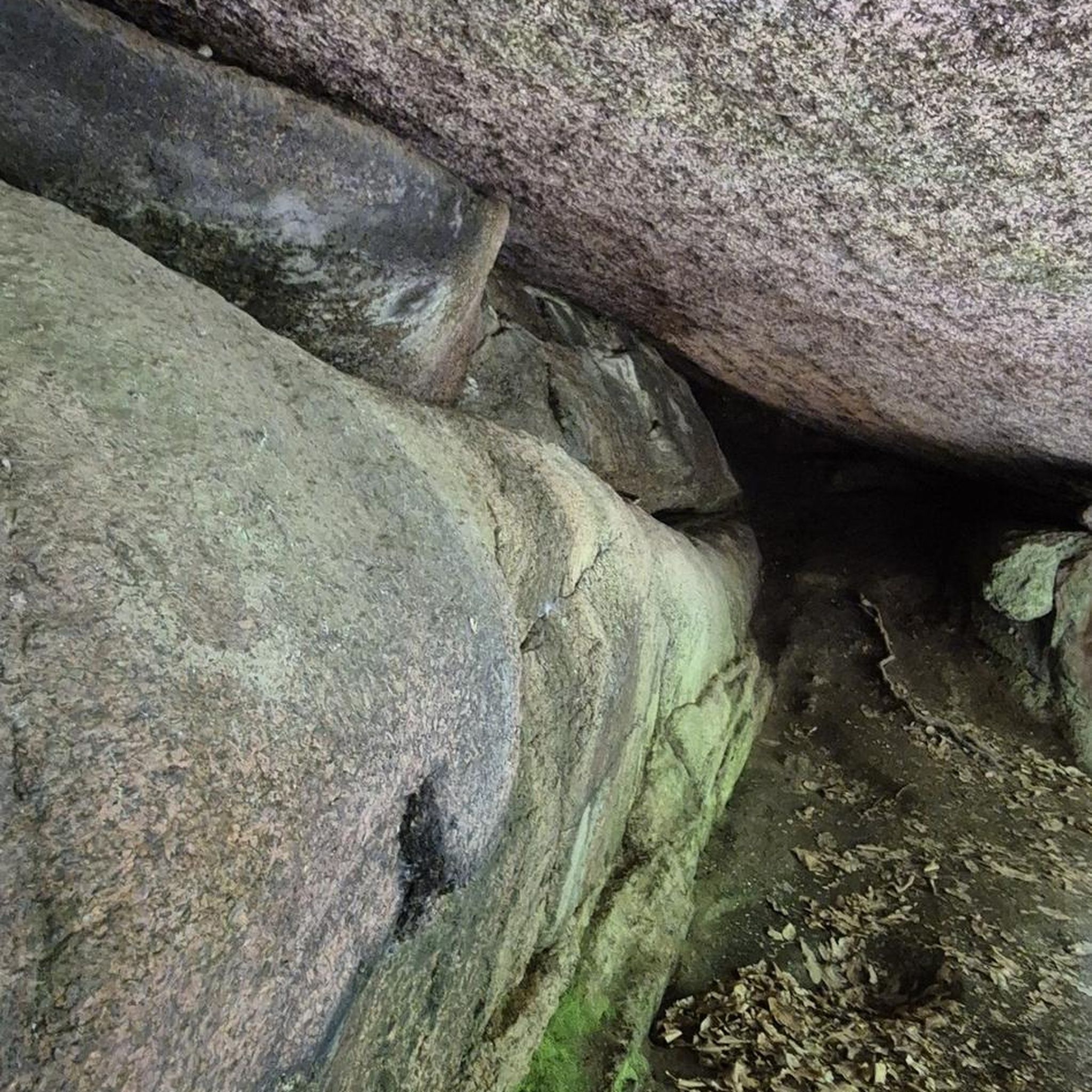
A curious large stone, it moves but cannot be dragged.
0
0

One of the best preserved necropolises. It has 140 tombs from between the 11th and 13th centuries.
0
0
Nice trail area
0
0
Nice area for outdoor activities.
0
0
Nice area for mountain biking
0
0
Frequently Asked Questions
What kind of terrain can I expect on the no-traffic gravel bike trails in National Park Lagunas Glaciares de Neila?
The National Park Lagunas Glaciares de Neila and the wider Sierra de la Demanda region offer a diverse and challenging terrain for gravel biking. You'll encounter a mix of unpaved roads, forest tracks, and some paved segments, often with significant elevation changes. The landscape features stunning glacial lakes, dense pine and beech forests, and high mountain peaks, providing varied surfaces and gradients suitable for different skill levels.
Are there any family-friendly no-traffic gravel routes in the area?
While many routes in the region involve significant climbs, some sections or shorter loops can be more suitable for families. For example, routes starting from towns like Covaleda might offer gentler initial stretches. Always check the route's elevation profile and distance to ensure it matches your family's fitness level. The area's greenways, converted from former railway lines, also offer traffic-free, flatter options outside the immediate park boundaries.
Can I bring my dog on the gravel bike trails in National Park Lagunas Glaciares de Neila?
Generally, dogs are permitted on trails within National Park Lagunas Glaciares de Neila, but they must be kept on a leash to protect wildlife and ensure the safety of other visitors. Always check specific regulations for any particular trail or protected area you plan to visit, as rules can vary. Be mindful of livestock and other animals you might encounter.
What natural landmarks or viewpoints can I see along the gravel routes?
The region is rich in natural beauty. You can expect to encounter numerous glacial lakes, such as the famous Neila Lagoons and La Cascada Lagoon. High peaks like Campiña and Pico de la Laguna (2004m) offer spectacular panoramic views. Don't miss viewpoints like San Francisco Viewpoint or the Viewpoint Platform at Laguna Negra for breathtaking vistas of the glacial landscape.
Where can I park my car when accessing the no-traffic gravel trails?
Parking facilities are typically available in the towns bordering the National Park, such as Quintanar de la Sierra, Regumiel de la Sierra, or Covaleda. From these points, you can often access trailheads directly. For example, the route Cuyacabras Necropolis – Quintanar de la Sierra loop from Regumiel de la Sierra starts from Regumiel, where parking is usually accessible.
Are there any circular no-traffic gravel routes available?
Yes, many of the gravel routes in the National Park Lagunas Glaciares de Neila are designed as loops, allowing you to start and finish at the same point. Examples include the Cuyacabras Necropolis – Quintanar de la Sierra loop from Regumiel de la Sierra and the Cuyacabras Necropolis – Revenga Necropolis loop from Quintanar de la Sierra. These circular routes are convenient for day trips.
What is the best time of year for gravel biking in National Park Lagunas Glaciares de Neila?
The best time for gravel biking is typically from late spring to early autumn (May to October). During these months, the weather is generally more stable, and trails are clear of snow. Summer offers warmer temperatures, but spring and autumn provide pleasant riding conditions with vibrant foliage and fewer crowds. Winter can bring snow and ice, making many high-altitude trails impassable or requiring specialized equipment.
Are there any amenities like cafes or accommodation near the gravel trails?
Yes, towns surrounding the National Park, such as Quintanar de la Sierra, Neila, and Covaleda, offer various amenities. You can find cafes, restaurants, and accommodation options ranging from hotels to rural guesthouses. These towns serve as excellent bases for exploring the gravel trails and are good places to refuel after a ride.
What kind of wildlife might I encounter while gravel biking?
The park is home to diverse wildlife. While cycling, you might spot deer, roe deer, or wild boar. Birdwatchers may be lucky enough to see golden eagles or Eurasian eagle-owls. Keep an eye out for smaller mammals like badgers or even the elusive Pyrenean desman near water sources. Remember to maintain a respectful distance and avoid disturbing the animals.
How challenging are the no-traffic gravel bike trails in this region?
The trails in National Park Lagunas Glaciares de Neila range from moderate to difficult. Many routes feature significant elevation gains, with ascents to over 2,000 meters, requiring good fitness. For example, the Salduero – Molinos de Duero loop from Covaleda is classified as difficult, covering over 55 km with more than 1200 meters of ascent. Be prepared for varied surfaces and technical sections, especially on mountain passes.
Are there any specific routes that are particularly good for avoiding traffic?
The routes within and immediately surrounding the National Park are generally known for their low traffic, especially on unpaved sections. The guide highlights routes like the Cuyacabras Necropolis – Revenga Necropolis loop from Quintanar de la Sierra, which takes you through quiet landscapes. Additionally, former railway lines converted into greenways in the broader Sierra de la Demanda area offer dedicated traffic-free paths.
Most popular routes around National Park Lagunas Glaciares de Neila
Most popular attractions around National Park Lagunas Glaciares de Neila

Get inspired with the komoot mobile app


Explore more
Browse the best Gravel rides in other regions.
