The best traffic-free bike rides around Lac De Cap De Long
4.8
(56)
2,991
riders
No traffic road cycling routes around Lac De Cap De Long are situated within the Hautes-Pyrénées, offering challenging ascents and high-mountain landscapes. The region features demanding cycling routes with significant elevation gains and iconic hairpin bends, leading to some of the highest paved roads in the French Pyrenees. Cyclists traverse winding roads that ascend through alpine forests before reaching rugged, rock-strewn terrain at higher altitudes, often encountering towering mountains and numerous lakes. The area is characterized by its majestic dam,…
Last updated: October 1, 2026
5.0
(2)
129
riders
27.6km
01:51
830m
830m
Moderate road ride. Good fitness required. Mostly well-paved surfaces and easy to ride.
5.0
(1)
11
riders
19.0km
01:24
680m
680m
Moderate road ride. Good fitness required. Mostly well-paved surfaces and easy to ride.

6
riders
15.3km
01:19
650m
650m
Moderate road ride. Good fitness required. Mostly well-paved surfaces and easy to ride.
Our route recommendations are based on thousands of hikes, rides, and runs completed by other people on komoot.
Start today with a free account
Your next adventure awaits.


Tips from the Community

Worth seeing but it has become a trap for motorists! Paid parking and ban on cars entering the village. Avoid if you've seen it once.
0
0

Admire the marmots if you observe carefully
0
0

On our group visit to the Cirque de Troumouse, and given the restricted access to vehicles until the final parking lot, we decided to establish our supplies in this intermediate area of the climb, having passed the horseshoe curves area after Héat. It was a magnificent day, with bright sunshine and hardly any air. There is enough space and the views of the mountains are fantastic. There is tranquility. It is very important to collect everything and not leave any traces or trash!
0
0
Brasserie with a very pleasant terrace. Ideal for a drink on the route to the Cirque de Troumousse or Col de Tentes.
0
0

Impressive dam on this artificial lake of an azure blue! The turbines make noise, it's detonating in the calm of the mountains
0
0

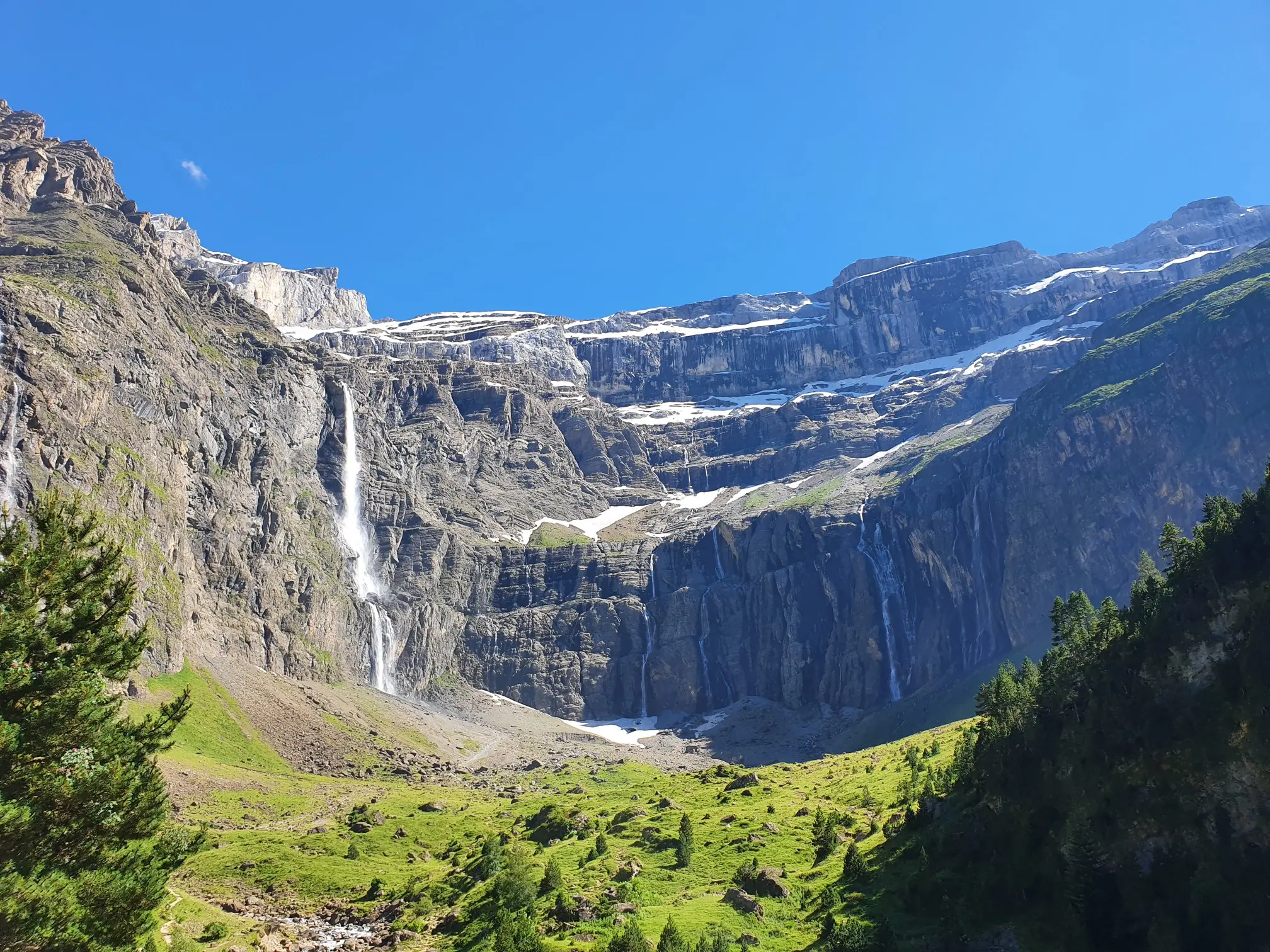
The Saugué plateau is located above the communes of Gèdre and Gavarnie. Very snowy in winter, it is more easily accessible in high season, whether on foot, by bike or by car. Perched at an altitude of 1,640 meters, the Saugué offers a spectacular view of the Cirque de Gavarnie.
2
1

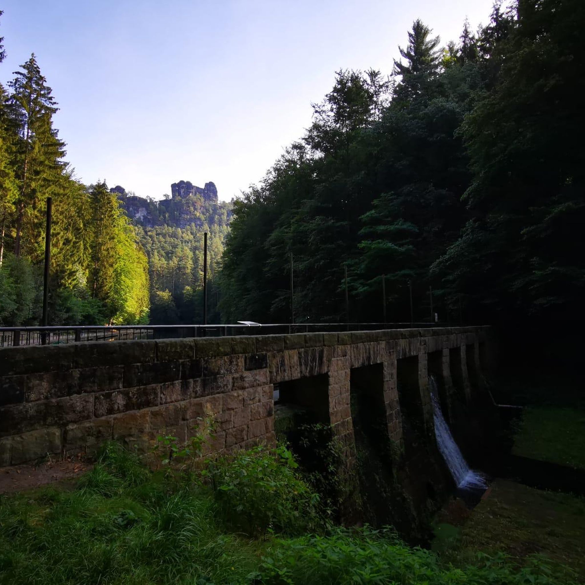
Walkable dam of the Lac des Gloriettes
1
0
Frequently Asked Questions
How many no-traffic road cycling routes are available around Lac de Cap de Long?
Komoot currently features 3 dedicated no-traffic road cycling routes around Lac de Cap de Long. These routes offer a unique opportunity to experience the stunning high-mountain landscapes of the French Pyrenees with minimal vehicle interference.
What makes road cycling around Lac de Cap de Long unique for traffic-free experiences?
The region's location within the Néouvielle nature reserve and at the edge of the Pyrenees National Park means many roads, especially those leading to high-mountain lakes, are less frequented by vehicles. This allows cyclists to fully immerse themselves in the challenging ascents, winding roads, and panoramic vistas without the constant presence of traffic, offering an unspoiled natural environment.
What is the best time of year for traffic-free road cycling in this region?
Due to the high-mountain elevation, the best time for road cycling around Lac de Cap de Long is typically from late spring to early autumn (June to September), when the roads are clear of snow and the weather is most favorable. Always check local conditions before planning your trip, as mountain weather can be unpredictable.
How challenging are the no-traffic road cycling routes around Lac de Cap de Long?
The routes in this area are generally considered challenging, featuring significant elevation gains and steep gradients, often requiring very good fitness. For example, the climb to Lac de Cap de Long itself is renowned for its demanding nature, with sections reaching double-digit gradients. Routes like Gèdre – Le Campbieilh – Mega descent loop from Gèdre involve substantial climbing.
Are there any circular no-traffic road cycling routes available?
Yes, there are circular routes designed for road cyclists seeking traffic-free experiences. An example is the Gèdre – Le Campbieilh – Saugué Plateau loop from Gèdre, which offers a rewarding ride through the scenic landscape, starting and ending in the same location.
What kind of landscapes and natural features can I expect to see along these routes?
You'll encounter breathtaking high Pyrenean peaks, alpine forests, and rugged, rock-strewn terrain. The region is famous for its majestic dam at Lac de Cap de Long, known for its stunning deep blue and turquoise waters. You'll also find numerous other mountain lakes, cascading waterfalls, and diverse flora and fauna within the Néouvielle nature reserve.
Are there any routes suitable for beginners looking for a traffic-free experience?
The road cycling routes around Lac de Cap de Long are primarily designed for experienced touring cyclists due to their challenging nature and significant elevation. There are currently no routes classified as 'easy' in this selection, so beginners should be prepared for moderate to difficult climbs and descents.
Where can I find parking for these quiet road cycling routes?
Parking is typically available in the villages and towns at the base of the climbs, such as Gèdre, which serves as a starting point for routes like the Gloriettes Dam – Gavarnie-Gèdre loop from Gèdre. Always check local signage for specific parking regulations and availability, especially during peak season.
What do other road cyclists enjoy most about road cycling in Lac de Cap de Long?
The komoot community highly rates the road cycling experience here, with an average score of 4.82 stars. Reviewers often praise the unparalleled panoramic views, the sense of achievement from conquering challenging ascents, and the unique opportunity to cycle through a preserved, traffic-free natural environment within the Pyrenees National Park.
Are there any cafes or places to refuel along the traffic-free routes?
While the high-mountain sections of these routes are remote and offer limited services, you can typically find cafes and restaurants in the larger villages and towns at lower elevations, such as Gèdre or Saint-Lary-Soulan, which are common starting or ending points for rides. It's always advisable to carry sufficient water and snacks for your journey, especially on longer ascents.
Can I combine a visit to Lac de Cap de Long with other nearby lakes?
Yes, the region is part of the famous "Route des Lacs," which allows cyclists to visit multiple high-mountain lakes. While the main ascent leads to Lac de Cap de Long, it's possible to extend your ride to include other stunning lakes like Lac d'Aubert and Lac d'Aumar, offering even more spectacular scenery and challenging climbs.
Most popular routes around Lac De Cap De Long

Get inspired with the komoot mobile app


Explore more
Browse the best Road cycling routes in other regions.
