The best hikes from bus stations around Ballinasloe
4.5
(14)
111
hikers
3
hikes
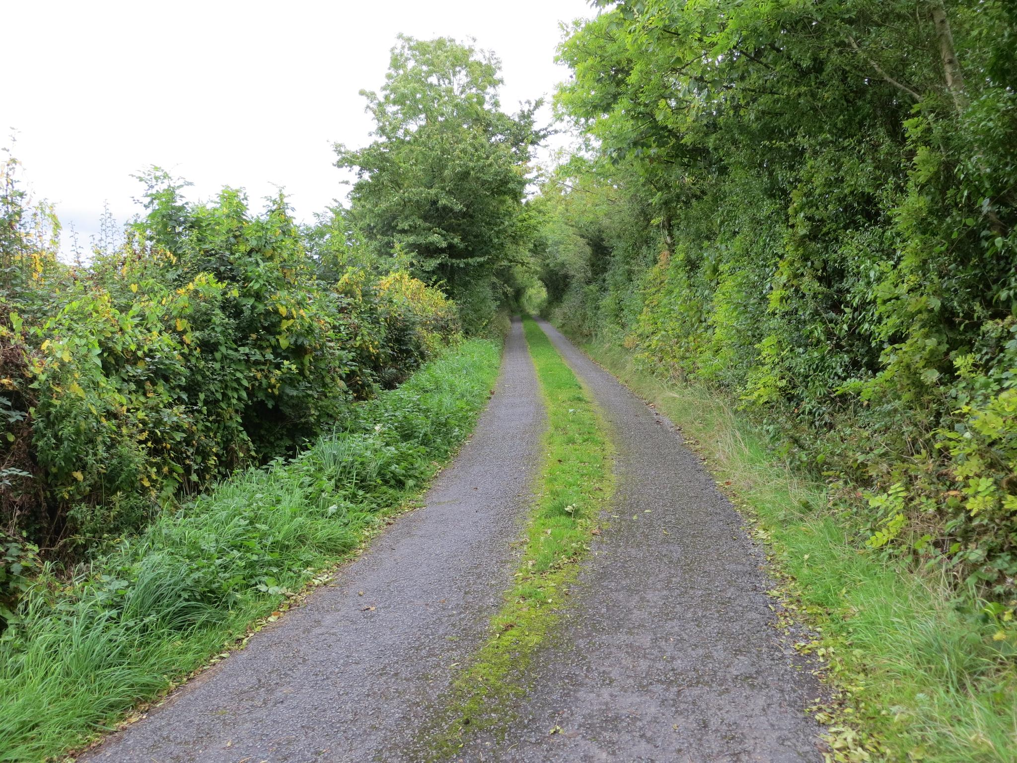
Hiking around Ballinasloe, located in County Galway, Ireland, offers diverse outdoor experiences across tranquil riverine environments, historic woodlands, and unique boglands. The region is characterized by gentle gradients, making many trails accessible for various fitness levels. Glacial formations, such as the Ballinasloe-Split Hills-Clonmacnoise-Clara Esker system, contribute to the varied terrain. The River Suck, a central feature, provides scenic riverside routes and connects to the River Shannon.
Best bus station hiking trails around Ballinasloe
- The most popular bus station hiking route…
Last updated: October 6, 2026
1
hikers
3.22km
00:50
20m
20m
Easy hike. Great for any fitness level. Easily-accessible paths. Suitable for all skill levels.
5.30km
01:23
40m
40m
Easy hike. Great for any fitness level. Easily-accessible paths. Suitable for all skill levels.

5.0
(1)
7
hikers
6.47km
01:41
40m
40m
Easy hike. Great for any fitness level. Easily-accessible paths. Suitable for all skill levels.
Our route recommendations are based on thousands of hikes, rides, and runs completed by other people on komoot.



Tips from the Community

Once the grounds of the 17th-century Garbally House, today Garbally Park is home to Garbally College. It's a delightful place to walk in autumn, when the leaves are at their most vibrant.
0
0
On the banks of the River Suck, historic Ballinasloe is a vibrant Galway town. Walkers are well-served by its accommodation options and places to eat and drink. Hikes in the surrounding countryside include the Hymany Way and a walk around Poolboy bog.
0
0

The Grand Bridge is something of an unexpected discovery in Aghrane Forest. It was built in 1855 as part of the landscaped Castlekelly estate. The ruins of the manor house were demolished in the 1950's, but the bridge survives as a fragment of a once much grander, but now vanished landscape.
0
0
Hidden within the trees of Aghrane Forest lies “The Lisheen” (from Irish liosín, meaning “little ringfort” or “little enclosure”). This historic children’s burial ground sits within an ancient ring barrow. It's a quiet and reflective place that still carries strong local memories and cultural significance.
0
0
Mountbellew is a pleasant small town boasting a artificial lake and some lovely woodland trails. There are plenty of places to grab a bite to eat in the town centre after exploring the town. The Bellew Estate was the home of the Grattan-Bellew family during the 18th and 19th centuries.
0
0
This is a lovely stretch of the loop of Mountbellew's human-made pleasure lake. Here the trail crosses the little stream via Rocky Bridge and there's also an intriguing building in the woods too.
0
0

On the north side of the bridge sits this 18th century milestone. The carved directions are clearly readable to this day.
1
0
Frequently Asked Questions
How many hiking trails are accessible directly from Ballinasloe bus stations?
There are 3 hiking trails that you can start directly from bus stations in and around Ballinasloe. These routes are generally easy, making them suitable for most hikers.
What kind of terrain and difficulty can I expect on hikes from Ballinasloe bus stations?
The trails accessible from Ballinasloe bus stations are all rated as easy. You can expect gentle gradients and varied terrain, including tranquil riverine environments along the River Suck, historic woodlands, and unique boglands. These paths are generally well-suited for a relaxed walk.
Are there any family-friendly hiking options accessible from Ballinasloe bus stations?
Yes, all the routes accessible from bus stations in this guide are rated as easy and are suitable for families. For example, the Garbally Park Loop from Ballinasloe is a great option for a pleasant family outing.
Can I bring my dog on these bus station accessible hikes?
Many outdoor areas in County Galway are dog-friendly, but it's always best to keep dogs on a leash, especially near livestock or in nature reserves, and to clean up after them. Specific rules can vary, so look for local signage. Generally, these easy trails are suitable for walks with well-behaved dogs.
What are some notable natural features or landmarks I might see on these trails?
While hiking these trails, you might encounter various points of interest. The region is characterized by the tranquil River Suck and historic woodlands. Near the Garbally Park Loop, you can find Garbally Castle. Other nearby attractions include Clontuskert Priory and Kilconnell Friary, offering glimpses into the region's history.
Are there any circular routes available from Ballinasloe bus stations?
Yes, all the hiking routes featured in this guide that start from bus stations are circular loops. This includes the Mountbellew Lake Loop, the Garbally Park Loop from Ballinasloe, and The Lisheen – The Grand Bridge loop from Ballygar, allowing you to finish where you started.
How long do these bus station accessible hikes typically take?
The duration of these hikes varies. The Mountbellew Lake Loop takes approximately 50 minutes, while the Garbally Park Loop from Ballinasloe is about 1 hour and 20 minutes. The longest, The Lisheen – The Grand Bridge loop from Ballygar, takes around 1 hour and 40 minutes, offering options for different time commitments.
What is the best time of year to hike near Ballinasloe?
Ballinasloe offers pleasant hiking conditions throughout much of the year. Spring and summer provide warmer weather and lush greenery, ideal for enjoying the riverine and woodland scenery. Autumn brings beautiful foliage. While winter can be cooler and wetter, the generally gentle gradients of these trails mean they can still be enjoyed with appropriate gear.
Are there places to eat or stay near the bus station hiking trails?
Ballinasloe town offers various amenities including cafes, pubs, and accommodation options like Moycarn Lodge & Marina, Gullanes Hotel, and Shearwater Hotel. These are generally accessible from the bus station, providing convenient options for refreshments or overnight stays before or after your hike.
What do other hikers enjoy most about hiking in Ballinasloe?
The komoot community rates the hiking experiences in Ballinasloe highly, with an average score of 4.5 stars. Reviewers often praise the tranquil riverine environments, the peaceful historic woodlands, and the accessibility of the trails, making them perfect for a relaxing escape into nature.
Most popular attractions around Ballinasloe

Get inspired with the komoot mobile app


Explore more
Browse the best Hikes in other regions.
