The best road cycling routes in the Mission Range
4.8
(9)
330
riders
15
rides
Road cycling in the Mission Range primarily takes place in the surrounding Mission Valley, offering scenic routes with views of the rugged Mission Mountains. The landscape features rolling pastoral roads, agricultural areas, and river valleys, including the Bitterroot River and Clark Fork River. These routes are typically paved, providing varied terrain for road cyclists. The region also includes access to areas near Flathead Lake, one of the largest freshwater lakes in the Western USA.
Best road cycling routes in the…
Last updated: August 17, 2026
4.5
(4)
38
riders
41.6km
02:05
120m
120m
Moderate road ride. Good fitness required. Mostly well-paved surfaces and easy to ride.
29
riders
34.5km
01:57
420m
420m
Moderate road ride. Good fitness required. Mostly well-paved surfaces and easy to ride.

Sign up for free
15
riders
50.9km
02:08
190m
190m
Moderate road ride. Good fitness required. Mostly well-paved surfaces and easy to ride.
5.0
(1)
11
riders
155km
07:48
370m
370m
Hard road ride. Very good fitness required. Mostly well-paved surfaces and easy to ride.
16
riders
37.2km
01:44
190m
190m
Easy road ride. Great for any fitness level. Mostly well-paved surfaces and easy to ride.
9
riders
31.2km
01:20
120m
120m
Easy road ride. Great for any fitness level. Mostly well-paved surfaces and easy to ride.
9
riders
25.1km
01:20
230m
230m
Moderate road ride. Great for any fitness level. Some segments of this route may be unpaved and difficult to ride.
11
riders
40.7km
01:45
260m
260m
Easy road ride. Great for any fitness level. Mostly well-paved surfaces and easy to ride.
7
riders
23.9km
01:05
120m
120m
Moderate road ride. Great for any fitness level. Some segments of this route may be unpaved and difficult to ride.
8
riders
24.6km
01:32
220m
220m
Moderate road ride. Great for any fitness level. Some segments of this route may be unpaved and difficult to ride.
Get access to more routes and recommendations from other explorers.
Sign up for free
Already have an account?
Our route recommendations are based on thousands of hikes, rides, and runs completed by other people on komoot.
Start today with a free account
Your next adventure awaits.
Login or Signup

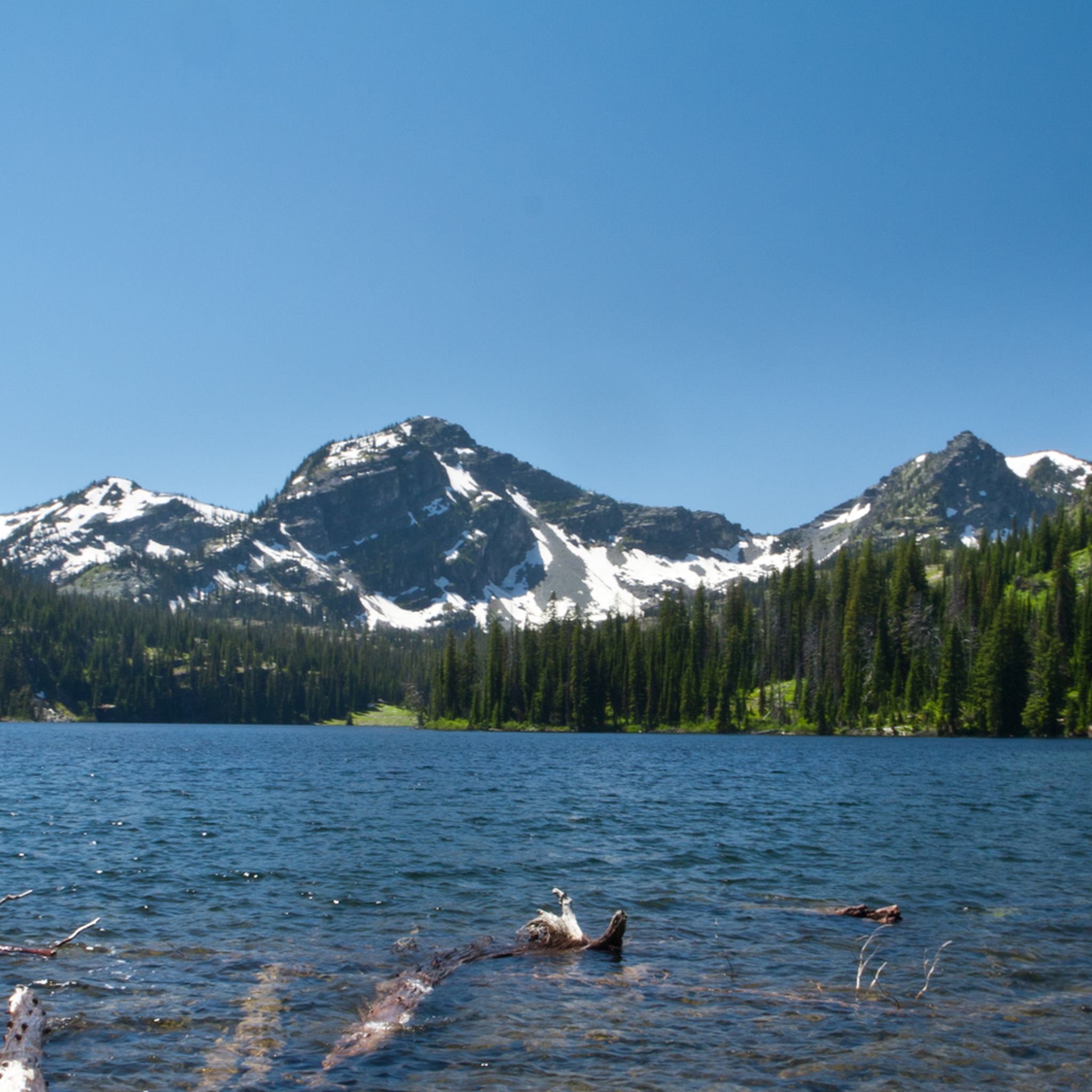
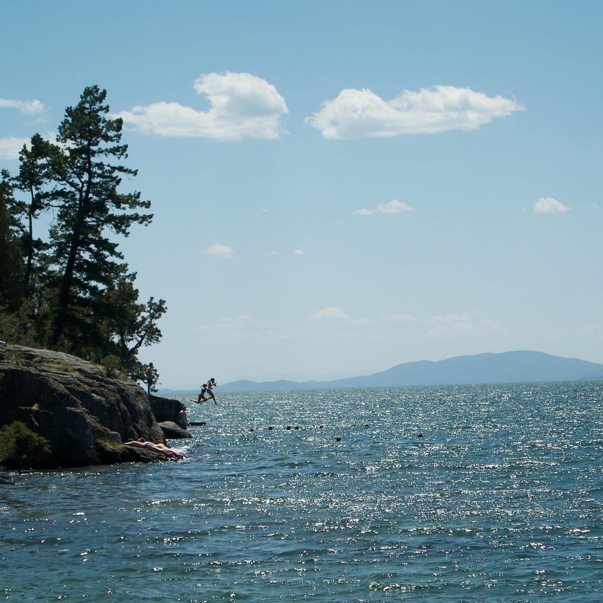
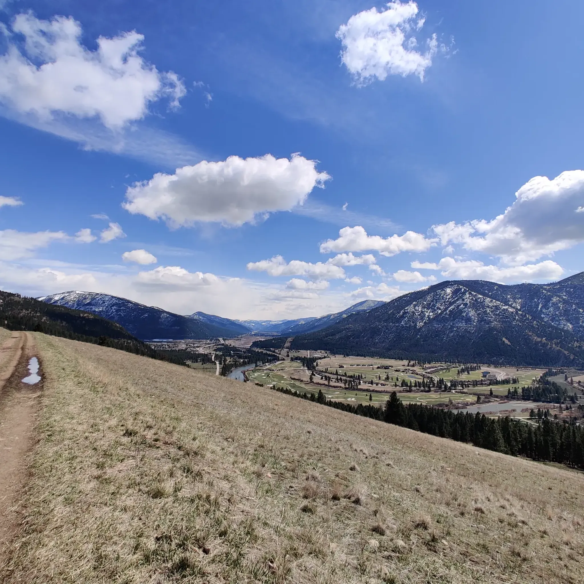
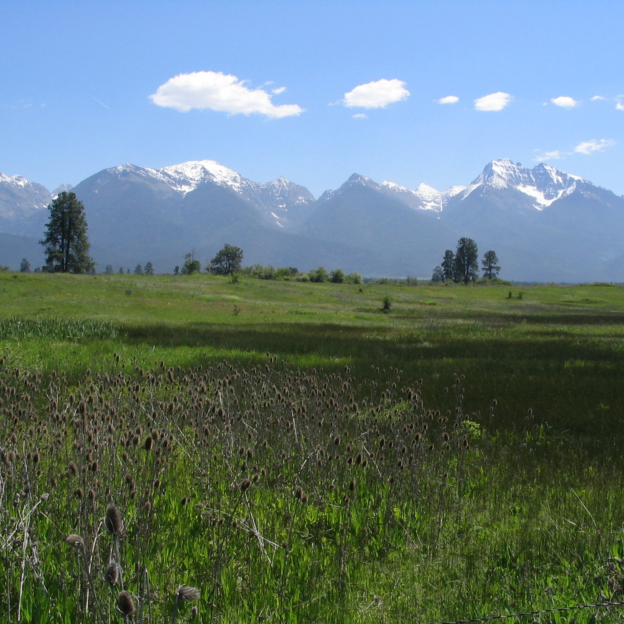
Other adventures in the Mission Range

Tips from the Community

Stretching for more than 50 miles between Hamilton and Missoula, the paved Bitterroot Trail offers a flat, traffic-free corridor through the heart of the valley. Riders enjoy wide-open views of the Bitterroot Mountains to the west and the Sapphire Range to the east, with small towns, cafes, and services dotted along the way. As the route leads into Missoula, the trail provides a welcoming and scenic approach; heading south, it eases you gently back into rural landscapes.
0
0

The Beartracks Bridge is a four-lane bridge over the Clark Fork River in downtown Missoula. It was constructed in 1962 and recently renovated to improve pedestrian safety. The bridge now has dedicated bike lanes and widened sidewalks.
0
0

Jacob's Island is a dog park on the banks of Clark Fork River. The park is 6-acres and the river works as a beautiful natural barrier for the dogs. It also offers a series of paved and unpaved trails, benches, picnic tables and dog-waste bags.
0
0
Jacob's Island is a dog park on the banks of Clark Fork River. The park is 6 acres and the river works as a beautiful natural barrier for the dogs. It also offers a series of paved and unpaved trails, benches, picnic tables and dog-waste bags.
0
0
The Clark Fork River is one of the longest stretches of water in Montana. Along with its tributaries, they are some of the most popular fly fishing destinations in the United States.
1
0

Nestled in the northern Rockies, the city is known as the "Garden City" for its lush surroundings as well as trout fishing. The city is home to the University of Montana, founded in 1893.
0
0

The completely paved Bitterroot Trail totals over 50 miles through the state of Montana. This particular section is sandwiched between the freeway and the Bitterroot River. There are some great lookouts over the river as the trail winds its way towards Lolo.
0
0
McCormic Park marks the western terminus of the Kim Williams Trail and the eastern terminus of the Milwaukee Trail. The park has some playing fields, open space, picnic areas, and is nestled up right next to the river.
0
0
Frequently Asked Questions
How many road cycling routes are available in the Mission Range?
The Mission Range area offers a diverse selection of over 15 road cycling routes. These include options for various skill levels, with 7 easy routes, 10 moderate routes, and 1 challenging route for experienced cyclists.
Are there easy road cycling routes suitable for beginners or casual riders?
Yes, the Mission Range has several easy road cycling routes perfect for beginners or those looking for a relaxed ride. An excellent option is the Bitterroot River loop from Missoula, which is about 17 miles (27 km) long and takes around 1 hour 15 minutes to complete, offering gentle terrain along the river.
What kind of challenging road cycling routes can I find in the Mission Range?
For experienced cyclists seeking a challenge, the Mission Range offers routes with more significant distances and elevation changes. The Bitterroot Trail, for example, extends over 96 miles (155 km) and features notable climbs, making it a demanding ride that typically takes over 7 hours.
What are the typical lengths and durations of road cycling routes in this region?
Road cycling routes in the Mission Range vary significantly in length and duration. You can find shorter loops like the Bitterroot River loop from Missoula at 17 miles (27 km) taking about 1 hour 15 minutes, up to much longer and more challenging routes such as the 96-mile (155 km) Bitterroot Trail, which can take over 7 hours.
Are there any family-friendly cycling routes in the Mission Range?
While specific 'family-friendly' designations aren't always available, many of the easier, flatter routes along river valleys, such as the Clark Fork River – McCormick Park loop from Missoula, are generally suitable for families. These routes often feature paved surfaces and scenic views, providing a pleasant experience for riders of all ages.
What are the best times of year for road cycling in the Mission Range?
The best season for road cycling in the Mission Range is typically from late spring through early autumn. During these months, the weather is generally mild, and the roads are clear of snow. Spring offers vibrant wildflowers, while late summer provides opportunities for huckleberry picking in the surrounding areas, though always be mindful of wildlife.
Are there any scenic viewpoints or attractions along the road cycling routes?
Yes, road cycling in the Mission Range offers stunning views of the rugged Mission Mountains and the agricultural landscape of the Mission Valley. Routes often follow river valleys like the Bitterroot River and Clark Fork River. Nearby attractions include Flathead Lake State Park, one of the largest freshwater lakes in the Western USA, and various trails like The M Trail on Mount Sentinel.
Can I find loop routes for road cycling in the Mission Range?
Absolutely. Many of the popular road cycling routes in the Mission Range are designed as loops, allowing you to start and end at the same point. Examples include the East Missoula loop and the Missoula/Clark Fork River loop, which offer convenient circular journeys through the scenic landscape.
What do other road cyclists enjoy most about cycling in the Mission Range?
The road cycling routes in the Mission Range are highly rated by the komoot community, with an average score of 4.8 stars from over 8 reviews. Cyclists frequently praise the stunning views of the Mission Mountains, the peaceful rolling pastoral roads, and the diverse terrain that caters to various skill levels.
What makes the Mission Range area unique for road cycling?
The Mission Range offers a unique road cycling experience due to its combination of rugged mountain backdrops and serene valley roads. Cyclists can enjoy routes through agricultural lands, along major rivers like the Bitterroot and Clark Fork, and near the expansive Flathead Lake, providing a blend of natural beauty and varied terrain that is distinct to this Montana region.
Are there any specific road bike climbs for advanced riders?
While the Mission Valley primarily features rolling terrain, some routes offer significant elevation gains for advanced riders. For example, the East Missoula loop includes over 1,390 feet (424 m) of ascent, providing a good workout. Longer routes like the 96-mile Bitterroot Trail also accumulate substantial climbing over their duration.
Where can I find information about parking or trailhead facilities?
While specific parking details for every route are not listed here, many road cycling routes in the Mission Range area, particularly those starting near towns like Missoula or Ronan, will have accessible parking. For organized events or specific trailheads, it's advisable to check local tourism resources or event websites for detailed facility information.
Most popular routes in the Mission Range
Most popular attractions in the Mission Range

Get inspired with the komoot mobile app


Explore more
Browse the best Road cycling routes in other regions.
