The best walks and hikes around Mischendorf
4.6
(327)
2,149
hikers
274
hikes
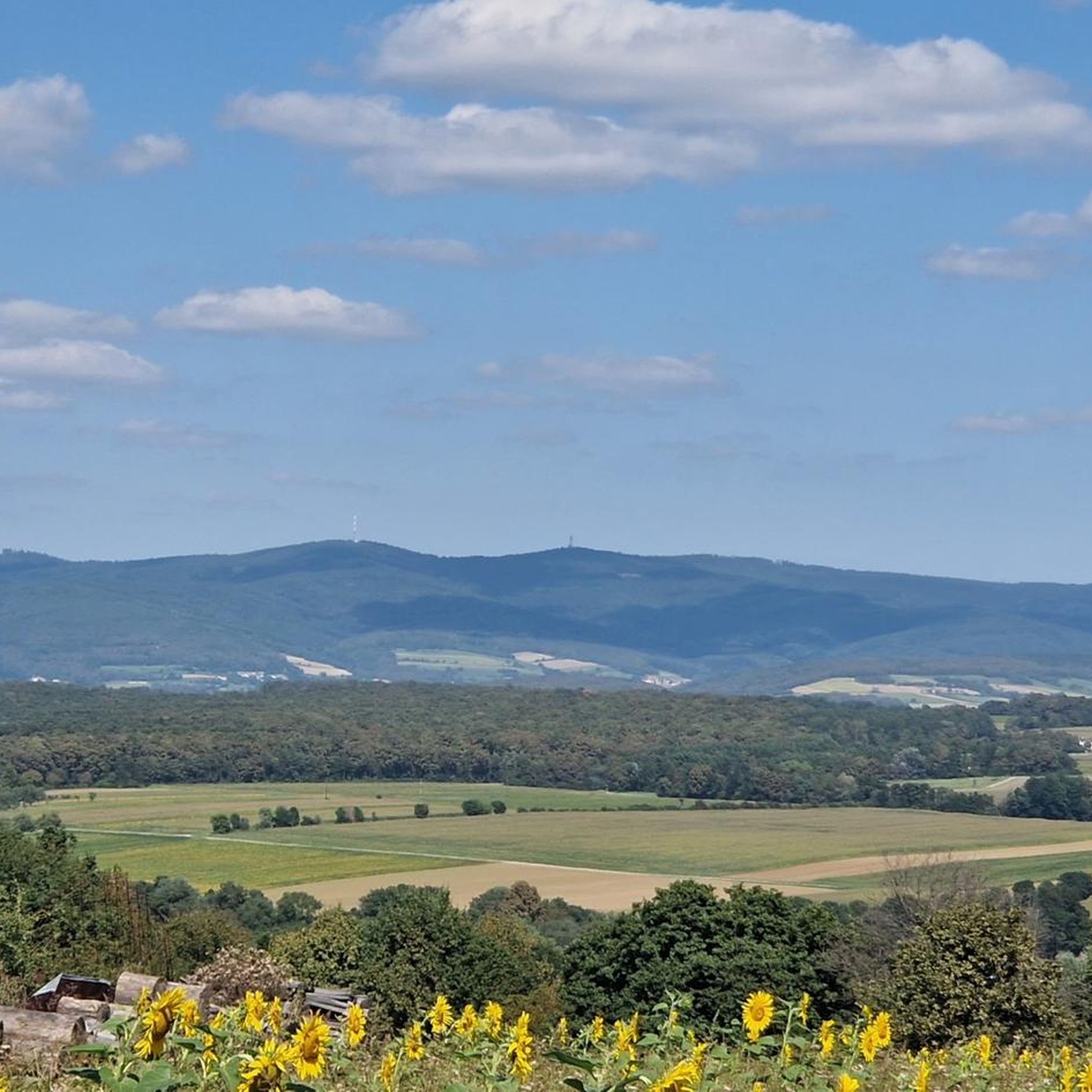
Hiking around Mischendorf, located in Burgenland, Austria, offers a diverse landscape characterized by gentle rolling hills, serene fish ponds, and extensive forested areas. The region features well-maintained trails that traverse the Rohrbach and Teichbach valleys, providing varied terrain for outdoor activities. Hikers can expect a blend of open waterscapes and shaded forest paths, with elevations generally remaining moderate.
Best hiking trails in Mischendorf
- The most popular hiking route is Crooked Wayside Shrine – Hochcsater loop from Kohfidisch, a 8.0…
Last updated: June 26, 2026
5.0
(4)
20
hikers
12.9km
03:39
290m
290m
Moderate hike. Good fitness required. Easily-accessible paths. Suitable for all skill levels.
5.0
(1)
14
hikers
6.84km
01:56
140m
140m
Easy hike. Great for any fitness level. Easily-accessible paths. Suitable for all skill levels.

Sign up for free
5.0
(3)
9
hikers
7.92km
02:13
150m
150m
Moderate hike. Good fitness required. Easily-accessible paths. Suitable for all skill levels.
6
hikers
5.13km
01:19
20m
20m
Easy hike. Great for any fitness level. Easily-accessible paths. Suitable for all skill levels.
3
hikers
4.45km
01:14
70m
80m
Easy hike. Great for any fitness level. Easily-accessible paths. Suitable for all skill levels.
Get access to more routes and recommendations from other explorers.
Sign up for free
Already have an account?
Our route recommendations are based on thousands of hikes, rides, and runs completed by other people on komoot.
Start today with a free account
Your next adventure awaits.
Login or Signup

Tips from the Community

Also called Baumgartner Kreuz. Named after the noble donor.
0
0

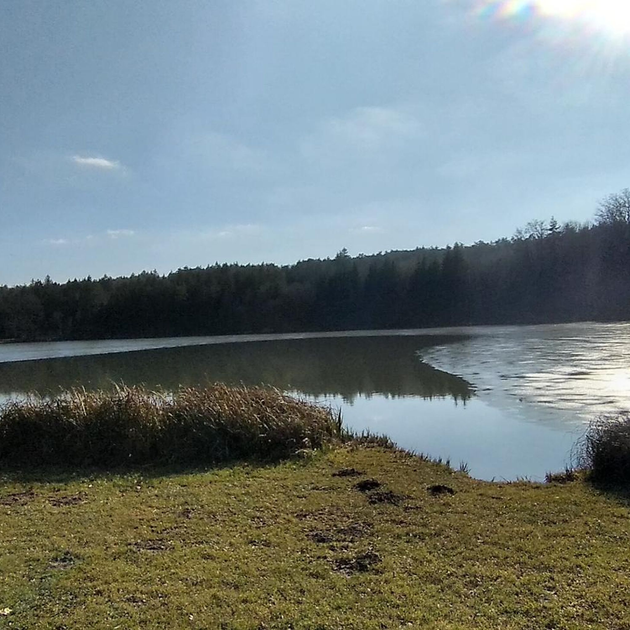
Here you can take a leisurely break during a pond circuit and let your soul dangle...
0
0
Here you will pass a Jesus cross and a place to rest.
0
0
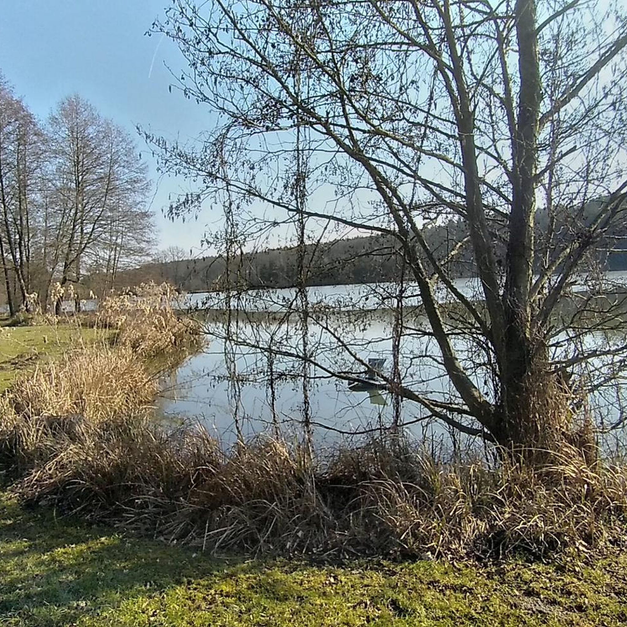
Wonderful pond in the middle of the forest. A visit here is always worthwhile. And during the warm season, of course, stop by KOI for a coffee (or more).
0
0

Avoid this place! The owner is very bumptious and not friendly to cyclists. We rode to the place only to be denied a table because he claimed they were full, while almost all of the tables on the terrace were free, only one was taken by other guests. A restaurant owner who cannot make room for two people arriving on bicycles and hungry, does not deserve the trust from the biking community.
0
0
Here, in front of the cemetery, you will find the local memorial commemorating those who fell in the World Wars.
0
0
In a private garden here you will find this charming little wayside shrine with a small statue of Mary.
0
0
Frequently Asked Questions
How many hiking trails are available in Mischendorf?
Mischendorf offers a wide selection of hiking opportunities, with over 280 routes recorded on komoot. These trails cater to various preferences, from leisurely strolls to more challenging excursions.
What kind of terrain can I expect on hikes around Mischendorf?
The Mischendorf area is characterized by a blend of gentle rolling hills, serene fish ponds, and extensive forested areas like the Oberdorfer Forest. You'll find well-maintained trails traversing valleys such as Rohrbach and Teichbach, offering varied terrain with generally moderate elevations.
Are there easy hiking options suitable for beginners or casual walkers?
Yes, Mischendorf is ideal for beginners and casual walkers, with 171 easy routes available. An excellent example is the Schloss Kohfidisch – Forest Chapel in the Prater loop from Kohfidisch, an easy 4.2-mile (6.8 km) path winding through forested areas and past historical points of interest.
Can I find circular hiking routes in the Mischendorf area?
Many of the trails in Mischendorf are designed as circular routes, allowing you to start and end at the same point. For instance, the Großer Teich – KOI — Dining by the Pond loop from Oberdorf im Burgenland is a popular 5.1-mile (8.2 km) loop that takes you through the Großer Teich and local ponds.
Are the hiking trails in Mischendorf suitable for families with children?
Absolutely. The region's gentle hills and well-maintained paths make it very family-friendly. Many routes, especially those around the fish ponds, offer accessible terrain for all ages. The converted rail trails in the broader region, such as the one from Großpetersdorf to Rechnitz, are also excellent, traffic-free options for families.
Are dogs allowed on the hiking trails around Mischendorf?
Mischendorf's natural landscapes are generally welcoming to dogs. While specific regulations may vary, most trails through forests and around ponds are suitable for walks with your canine companion. Always ensure your dog is under control and check for any local signage regarding leash requirements.
What are some notable natural features or landmarks to look out for on Mischendorf's trails?
Hikers in Mischendorf can enjoy several natural and historical highlights. The numerous fish ponds, particularly in the Rohrbach and Teichbach valleys and the Rotenturmer ponds, are prominent features. You might also encounter the 300-year-old oak, the serene Ave Maria Chapel, or the historic Castle of Litzelsdorf.
Are there places to eat or stay near the hiking trails in Mischendorf?
Yes, the Mischendorf area offers options for refreshments and accommodation. You'll find culinary stops, especially around the popular fish ponds, such as KOI — Dining by the Pond. The region is known for combining outdoor activities with local gastronomy.
What is the best time of year to go hiking in Mischendorf?
Mischendorf offers pleasant hiking experiences throughout much of the year. Spring and autumn provide comfortable temperatures and beautiful scenery. The forested areas offer cooler conditions during warmer summer months, while the tranquil ponds are picturesque in any season.
How long do hikes typically take in Mischendorf?
Hike durations in Mischendorf vary depending on the route and your pace. Many popular trails range from 1.5 to 4 hours. For example, the Crooked Wayside Shrine – Hochcsater loop from Kohfidisch is an 8.0-mile (12.9 km) trail that typically takes around 3 hours 39 minutes.
What do other hikers say about their experience in Mischendorf?
The komoot community highly rates hiking in Mischendorf, with an average score of 4.6 stars from over 300 reviews. Hikers often praise the tranquil fish ponds, accessible forested areas, and the well-maintained network of trails that cater to various activity levels.
Is parking available at the trailheads in Mischendorf?
Yes, parking is generally available at or near the starting points of many hiking trails in Mischendorf and the surrounding villages. Given the region's focus on outdoor activities, you'll often find convenient spots to leave your vehicle.
Can I reach hiking areas in Mischendorf using public transport?
While specific public transport routes to every trailhead may vary, the Mischendorf region is part of Burgenland's transport network. It's advisable to check local bus schedules for connections to villages near your chosen hiking routes, especially if you plan to rely solely on public transport.
Most popular attractions around Mischendorf

Get inspired with the komoot mobile app


Explore more
Browse the best Hikes in other regions.
