The best traffic-free bike rides around Champdivers
5.0
(1)
4
riders
5
rides
Gravel biking around Champdivers offers a diverse landscape shaped by abundant waterways and varied terrain, ideal for no traffic gravel bike trails. The region features extensive networks of cycling routes, including repurposed old railway lines and paths alongside canals, providing a mix of smooth surfaces and rolling tracks. Riders can explore magnificent coniferous and deciduous forests, small open valleys, and the picturesque Jura Mountains, which offer both challenging ascents and rewarding vistas.
Best no traffic gravel bike trails around Champdivers
- The most popular no traffic gravel bike trail is Rhône–Rhine Canal (EV6) – Charles Quint Lock loop from Damparis, a 27.8 miles (44.8 km) trail that takes 2 hours 43 minutes to complete. This route follows the EuroVelo 6 along the canal, offering continuous and enjoyable gravel-friendly riding.
- Another top favourite among local gravel bikers is Avenue des cerisiers en fleurs – A good beer loop from Tavaux, a difficult 23.6 miles (37.9 km) path. This loop includes varied terrain with significant elevation changes.
- Local gravel bikers also love the La Loue River – Swimming on the Loue loop from Parcey, a 14.8 miles (23.9 km) trail leading through riverine landscapes, often completed in about 1 hour 19 minutes.
- Gravel biking around Champdivers is defined by canal paths, old railway lines, and varied forest and valley terrain. The network offers options for different ability levels, from easy riverside loops to more challenging routes with elevation.
- The routes in Champdivers are highly rated by the komoot community with an average score of 5.0 stars from over 1 review. More than 4 gravel bikers have used komoot to explore Champdivers's varied terrain.
Last updated: June 28, 2026
5.0
(1)
3
riders
23.9km
01:20
40m
40m
Easy gravel ride. Great for any fitness level. Mostly paved surfaces. Suitable for all skill levels.
5
riders
37.9km
02:30
430m
430m
Hard gravel ride. Good fitness required. You may need to push your bike for some segments of this route.

Sign up for free
1
riders
21.8km
01:15
20m
20m
Easy gravel ride. Great for any fitness level. Mostly paved surfaces. Suitable for all skill levels.
1
riders
37.6km
02:08
80m
80m
Moderate gravel ride. Good fitness required. Mostly paved surfaces. Suitable for all skill levels.
3
riders
44.8km
02:44
410m
410m
Moderate gravel ride. Good fitness required. Mostly paved surfaces. Suitable for all skill levels.
Our route recommendations are based on thousands of hikes, rides, and runs completed by other people on komoot.
Start today with a free account
Your next adventure awaits.
Login or Signup
Popular around Champdivers

Tips from the Community

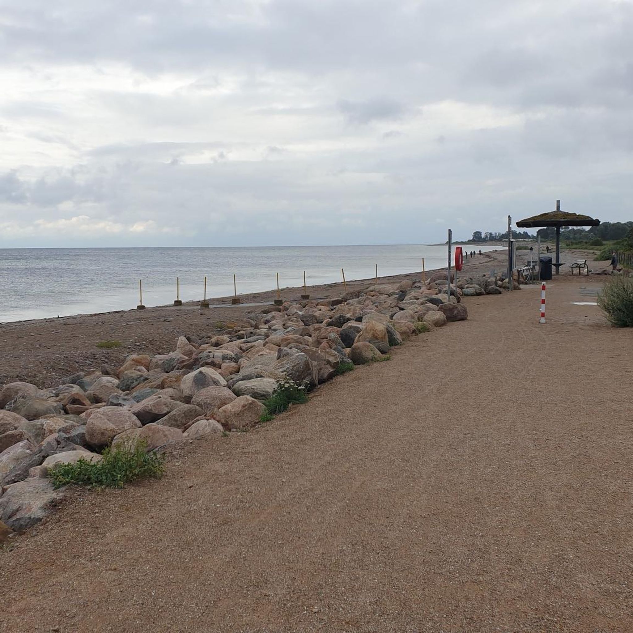
Beautiful place where you can no longer swim.
0
0

A very beautiful church, an eye-catcher from afar
0
0

Dole was the capital of the Free County of Burgundy under Habsburg rule during the Middle Ages. For centuries, the city served as the seat of parliament and was home to a university. Over the centuries, the city was besieged several times and fought over in conflicts between France and Burgundy, experiencing periods of occupation. The city's inhabitants consistently offered considerable resistance, forcing France to either withdraw or return possession of the city to the Burgundians by treaty. A stroll through the old town reveals numerous picturesque Renaissance buildings.
1
0

The Collegiate Church of Notre-Dame in Dole dominates the old town with its majestic bell tower, remarkable stained-glass windows, and rich historical and religious heritage. It is a true Gothic gem dating back to the Renaissance.
0
0

The trail is pleasant and well shaded. The view is very beautiful.
0
0

The Notre-Dame de Mont-Roland sanctuary, located on the heights of Dole, is an ancient pilgrimage site dedicated to the Virgin Mary. Founded in the 17th century, it includes a chapel, a calvary, and a Stations of the Cross, all surrounded by forest. The site also offers a sweeping panorama of the Doubs Valley and the Jura Mountains.
0
0


Very beautiful view of the Saône plain and Mont Poupet. Free ride in the Chaux forest, Rochefort and cliff, return via Mont Roland
0
0
Frequently Asked Questions
How many traffic-free gravel bike trails are available around Champdivers?
There are 5 dedicated traffic-free gravel bike trails around Champdivers, offering a range of difficulties from easy to difficult. These routes utilize the region's extensive network of canal paths and old railway lines, ensuring a peaceful riding experience.
What is the best time of year to go gravel biking in Champdivers?
The Jura region, including Champdivers, is best enjoyed for gravel biking from spring through autumn. During these seasons, the weather is generally pleasant, and the natural landscapes, from forests to waterways, are at their most vibrant. Winter can be challenging due to colder temperatures and potential snow.
Are there any family-friendly traffic-free gravel routes near Champdivers?
Yes, several routes are suitable for families. The 'Voie de la Bresse Jurassienne' is an excellent choice, as it repurposes an old railway line, providing a relatively flat and smooth surface. You can experience a section of this on the Voie de la Bresse Jurassienne – Ford Crossing loop from Tavaux, which is rated as easy.
What kind of terrain can I expect on the traffic-free gravel trails around Champdivers?
The traffic-free gravel trails in the Champdivers area primarily follow well-maintained paths alongside canals, such as the Canal du Rhône au Rhin, and old railway lines. This means you'll encounter a mix of smooth gravel, compacted earth, and sometimes paved sections. The region's geography also includes varied landscapes with forests and small valleys, offering both comfortable stretches and some rolling tracks.
Are there any circular gravel bike routes that are traffic-free?
Yes, many of the traffic-free routes around Champdivers are designed as loops. For example, the Rhône–Rhine Canal (EV6) – Charles Quint Lock loop from Damparis offers a moderate, circular ride along the canal, providing a continuous and enjoyable experience without retracing your steps.
What natural attractions can I see along the traffic-free gravel bike trails?
The routes often run alongside the beautiful waterways of the Jura, including the Canal du Rhône au Rhin. You'll also pass through picturesque forests and small open valleys offering panoramic views. The La Loue River – Swimming on the Loue loop from Parcey specifically highlights the scenic Loue River, known for its refreshing waters.
Are there any specific landmarks or points of interest along these routes?
Yes, the trails often follow significant cycling infrastructure that are landmarks in themselves. You'll ride along sections of the Canal du Rhône au Rhin and the Voie de la Bresse Jurassienne at Gatey. Another notable path is the Voie Grévy for Nevy-lès-Dole, an old railway path offering scenic views.
What is the longest traffic-free gravel bike trail available?
The longest traffic-free gravel bike trail in this selection is the Rhône–Rhine Canal (EV6) – Charles Quint Lock loop from Damparis, covering approximately 44.8 kilometers. This moderate route offers a substantial ride along the canal.
Are there any facilities like rest areas or cafes along the traffic-free routes?
While specific cafes are not listed for every route, the region's canal paths are part of larger cycle networks and often feature amenities. For instance, you can find a Rest Area With Bike Charging Station and Water Pump at Abergement-la-Ronce, which is a useful stop for cyclists.
What do other gravel bikers enjoy the most about gravel biking in Champdivers?
The area is highly rated by the komoot community, with an average score of 5.0 stars. Reviewers often praise the peaceful, traffic-free nature of the routes, the beautiful canal-side scenery, and the well-maintained paths that make for an enjoyable gravel biking experience.
Is there public transport access to the starting points of these trails?
Champdivers and nearby towns like Damparis and Tavaux, which serve as starting points for several routes, are generally accessible by regional public transport. However, specific information on bike carriage policies should be checked with local transport providers before planning your trip.
Where can I park my car when starting a gravel bike ride?
Starting points in towns like Parcey, Tavaux, and Damparis typically offer public parking options. As these routes are designed for accessibility, you can usually find suitable parking near the beginning of the trails, especially in the vicinity of canal access points or village centers.
Most popular attractions around Champdivers

Get inspired with the komoot mobile app


Explore more
Browse the best Gravel rides in other regions.
