The best traffic-free bike rides in Grand County
5.0
(4)
43
riders
4
rides
Gravel biking in Grand County, Colorado, offers an extensive network of quiet, well-maintained dirt and gravel roads. The region is situated within the Rocky Mountains, featuring dense pine and aspen forests, numerous lakes including Grand Lake and Lake Granby, and the headwaters of the Colorado River. Riders can expect high-altitude experiences, with many routes starting around 8,600 feet, providing panoramic views of the Continental Divide. These no traffic gravel bike trails combine elements of road and mountain biking for an adventure riding experience.
Best no traffic gravel bike trails in Grand County
- The most popular no traffic gravel bike trail is Utah Border Sign – Utah Border Marker loop from Mack, a 19.6 miles (31.5 km) trail that takes 3 hours to complete. This route features moderate climbs and open landscapes.
- Another top favourite among local gravel bikers is Utah Border Marker – Utah Border Sign loop from Mack, a difficult 33.7 miles (54.2 km) path. This longer loop offers varied terrain and more challenging ascents.
- Local gravel bikers also love the Slickrock Trailhead – Sand Flats gravel road loop from Moab, a 22.2 miles (35.7 km) trail leading through diverse landscapes, often completed in about 2 hours 45 minutes.
- Gravel biking in Grand County is defined by high-altitude forest roads, scenic lake views, and routes alongside the Colorado River. The network offers options for different ability levels, from moderate to difficult.
- The routes in Grand County are highly rated by the komoot community with an average score of 5.0 stars from more than 4 reviews. More than 40 gravel bikers have used komoot to explore Grand County's varied terrain.
Last updated: June 29, 2026
5.0
(1)
7
riders
31.5km
03:01
270m
270m
The Utah Border Sign – Utah Border Marker loop from Mack offers a deep dive into the unique desert landscapes of the Colorado-Utah border, characterized by vast, open vistas and minimal human presence. You'll navigate a mix of hard-packed dirt and chunky gravel, with some sections of dilapidated road that feel more like raw terrain than groomed trail, all while keeping an eye out for desert flowers in spring or local wildlife like antelope.
This moderate 19.6-mile (31.5 km) gravel biking route involves 878 feet (268 metres) of elevation gain and typically takes about 2 hours and 26 minutes to complete. Be prepared for self-sufficiency, as services are non-existent; carry ample water and supplies. Spring and fall are the prime seasons to ride, as summer heat can be extreme and dangerous.
This remote loop provides an excellent training ground for longer desert gravel grinders, offering a true sense of solitude away from crowded areas. The opportunity to cross the state border on two wheels adds a distinct charm to the ride, showcasing the surreal views and diverse flora of this high desert region.
4
riders
54.2km
05:09
420m
420m
Hard gravel ride. Very good fitness required. Mostly paved surfaces. Suitable for all skill levels.

Sign up for free
5.0
(1)
7
riders
35.7km
02:44
670m
670m
Hard gravel ride. Very good fitness required. Mostly paved surfaces. Suitable for all skill levels.
Our route recommendations are based on thousands of hikes, rides, and runs completed by other people on komoot.
Start today with a free account
Your next adventure awaits.
Login or Signup
Popular around Grand County

American Discovery Trail — Walking from sea to shining sea
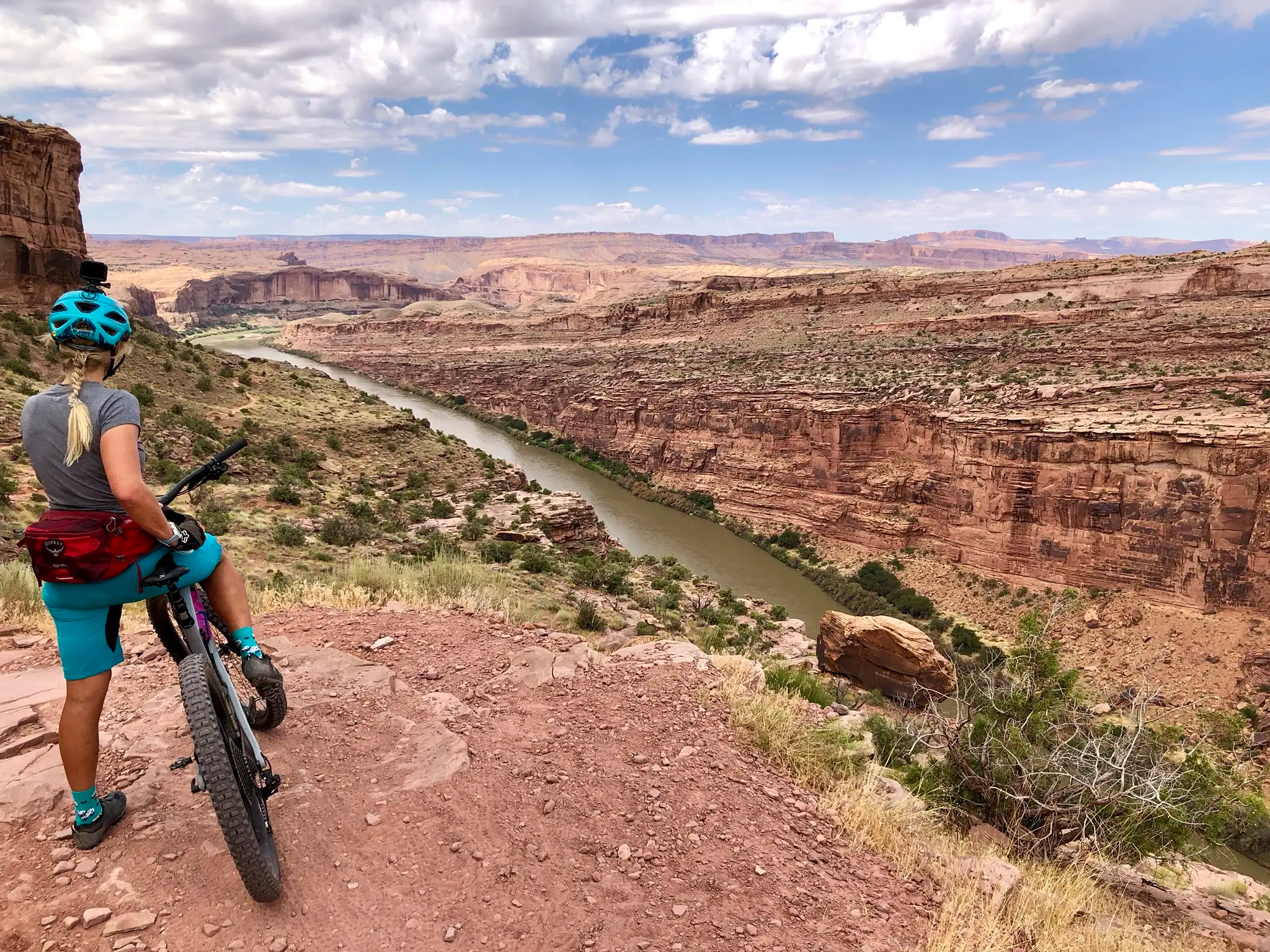
Kokopelli's Trail — Biking a legend’s trail across the desert

American Discovery Trail — Riding coast to coast

Canyons, Plateaus and Hoodoos – discover Southwest USA
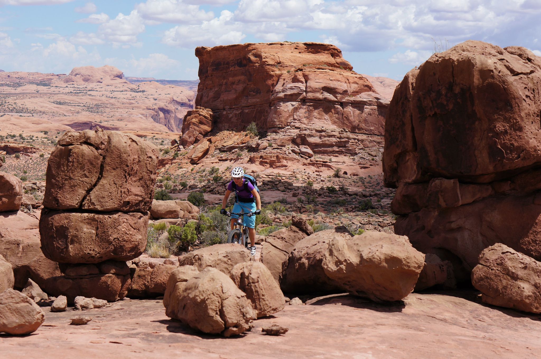
MTB Trip to Moab – a mountain bike Mecca in Utah
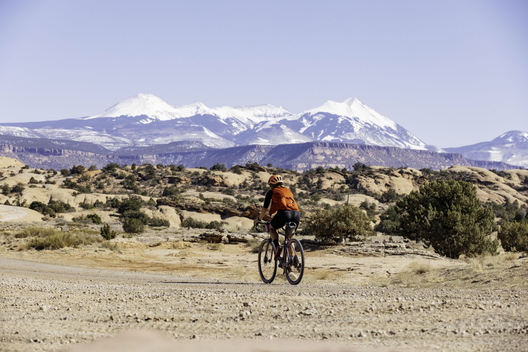
My Utah road trip: trail running and gravel riding in the mountains
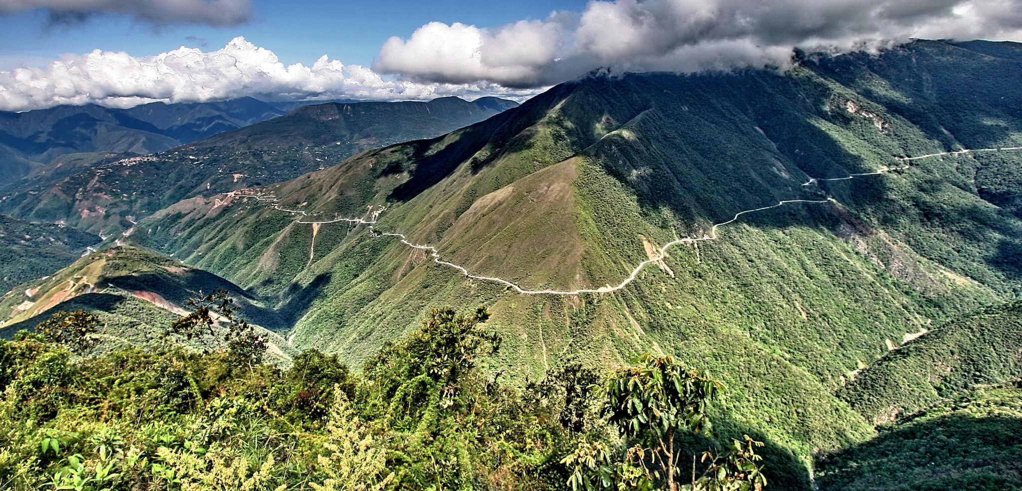
The world's most adventurous cycling passes

The pristine beauty of the US National Parks

Traffic-free bike rides in Grand County

Traffic-free bike rides in Grand County
Other adventures in Grand County


Tips from the Community

The Slickrock Trail is a popular trail for mountain bikers. While not suitable for road bikes, the trailhead has parking, picnic tables, and restrooms, so it is a good place to start a ride or for a mid-ride bathroom break.
0
0

A must do when in Moab and for sure the best trail if you want to convince somebody to buy an ebike. Very physical. I have the feeling the altitude is counting twice in Moab.
0
0

The elevation gain is around 400 meters with many very steep climbs. Come to the trail well prepared.
1
0

Cyclists on Sand Flats Road in Utah can enjoy expansive views of the desert landscape. The winding road offers glimpses of rugged canyons, towering rock formations, and distant mesas. The sandstone cliffs contrast with the sky, creating a scenic backdrop. The road's elevation provides a good vantage point to appreciate the terrain below. Cyclists can immerse themselves in the natural beauty of Utah's desert scenery as they ride. The road is non technical, thus perfect for those less confident on the loose ground but keen to give it a try.
1
0

The trail isn't called "Slick Rock" for nothing. Inexperienced people will reach their limits in various places on the steep rocky passages and will find it easier to descend...
1
0

This point is a pretty popular group ride destination in the area. You can ride the quiet country roads out to the Utah boarder. There only thing really telling you where you are is the spray painted wood sign. The final stretch of road before you get to the boarder isn't paved, but it's not gravel. Just a dilapidated road that has been left to the elements.
0
0

Slickrock Trail is a classic Moab trail on the sandstone. Slickrock was the term given to the rock by early cowboys noting that their horses' hooves would slip on the rocks when they were wet. There is a lot to explore here. You'll also see Jeeping nearby on similar rock formations.
1
0

Trailhead of the infamous Slickrock trail. Pit toilets and picnic tables are available. Bring lots of water because there is no drinking water available. The trailhead is located in the Sand Flats Recreation Area. You will find the current entrance fee rates here: https://www.blm.gov/visit/slickrock-national-recreation-trail
2
0
Frequently Asked Questions
How many no-traffic gravel bike trails can I find in Grand County?
Grand County boasts an extensive network of quiet, well-maintained dirt and gravel roads, offering thousands of miles for no-traffic gravel biking. While komoot features a selection of curated routes, such as the Utah Border Sign – Utah Border Marker loop from Mack, the region itself provides vast opportunities for exploration on low-traffic forest service and county roads.
What makes Grand County ideal for no-traffic gravel biking?
Grand County is a gravel biking paradise due to its diverse natural landscapes, extensive trail systems, and a unique blend of road and mountain biking experiences. You'll find thousands of miles of forest service roads and county roads with extremely low car traffic, winding through picturesque aspen and pine forests, alongside flowing creeks, and offering panoramic views of the majestic Rocky Mountains.
What kind of scenery and natural attractions can I expect on these trails?
Gravel biking in Grand County offers breathtaking scenery, including dense pine and aspen forests, impressive snow-covered peaks, and wide-open views of the Continental Divide. You can explore areas near the western gateway to Rocky Mountain National Park, ride alongside the headwaters of the Colorado River, or discover scenic spots like Monarch Lake. For more general information on the area's natural beauty, you can visit visitgrandcounty.com.
Are there any family-friendly no-traffic gravel bike routes in Grand County?
Yes, Grand County offers options suitable for families. Routes like the Fraser River Trail, a wide, crushed gravel path, provide a scenic and safe alternative to busier roads, connecting towns like Fraser and Winter Park. These types of trails are generally flatter and offer a more relaxed riding experience for all ages.
Can I bring my dog on the gravel bike trails?
Many forest service roads and county roads in Grand County are dog-friendly, especially those with low traffic. However, it's always best to check specific regulations for any designated trails or within areas like Rocky Mountain National Park, where restrictions may apply. Always keep your dog leashed and be mindful of wildlife.
What is the best time of year to go gravel biking in Grand County?
The best time for gravel biking in Grand County is typically from late spring through early fall (May to October). During these months, most trails are free of snow, and the weather is generally pleasant. Be prepared for high altitude conditions and rapid weather changes, especially at higher elevations, and always check local forecasts before heading out.
Are there any circular gravel bike routes available?
Yes, many of the gravel roads in Grand County can be combined to form scenic loops. For example, komoot features routes like the Utah Border Marker – Utah Border Sign loop from Mack, which offers a substantial circular ride. The region's extensive network allows for creating custom loops of varying distances and difficulties.
What are the difficulty levels of the no-traffic gravel bike trails?
Grand County's gravel trails vary significantly in difficulty. You can find beginner-to-intermediate options with gradual climbs, such as parts of St. Louis Creek Road, or more challenging ascents like Cottonwood Pass and Corona Pass Gravel Adventure. Komoot's curated routes range from moderate to difficult, for instance, the Slickrock Trailhead – Sand Flats gravel road loop from Moab is rated as difficult.
Where can I park when accessing gravel bike trails in Grand County?
Parking is generally available at various trailheads, forest service access points, and designated recreation areas throughout Grand County. Many gravel roads start directly from small towns or have pull-offs. Always look for official parking areas and respect any signage regarding private property or restricted access.
What kind of wildlife might I encounter while gravel biking?
Grand County is rich in wildlife, and it's common to spot elk and moose, especially in areas near Rocky Mountain National Park and along river corridors like the Colorado River Trail. You might also see deer, various bird species, and smaller mammals. Always maintain a safe distance and avoid disturbing animals.
What do other gravel bikers enjoy most about Grand County?
The komoot community highly rates the gravel biking experience in Grand County, with an average score of 5.0 stars. Riders often praise the stunning, diverse landscapes, the extensive network of quiet roads, and the sense of adventure that comes with exploring the Rocky Mountains on two wheels. The low traffic is consistently highlighted as a major benefit.
Most popular routes in Grand County
Most popular attractions in Grand County

Get inspired with the komoot mobile app


Explore more
Browse the best Gravel rides in other regions.
