The best running trails around Salvatierra De Tormes
4.0
(1)
24
runners
5
runs
Jogging routes around Salvatierra de Tormes offer a diverse landscape, transitioning from plains to more elevated areas, influenced by surrounding sierras and the traditional "dehesa" (wooded pasture). The region is characterized by the Santa Teresa Reservoir and the Tormes River, providing scenic paths along the water's edge. Joggers can experience varied terrain, from gentler, flatter paths to more challenging trails with inclines, all while enjoying panoramic views from an elevation of about 905 meters.
Best jogging routes around Salvatierra De…
Last updated: July 11, 2026
4.0
(1)
4
runners
8.88km
00:56
80m
80m
Moderate run. Good fitness required. Mostly paved surfaces. Suitable for all skill levels.
5
runners
27.2km
03:02
520m
520m
Hard run. Very good fitness required. Mostly paved surfaces. Suitable for all skill levels.

Sign up for free
3
runners
15.9km
01:44
250m
240m
Hard run. Very good fitness required. Mostly paved surfaces. Suitable for all skill levels.
2
runners
10.3km
01:09
140m
140m
Moderate run. Good fitness required. Mostly paved surfaces. Suitable for all skill levels.
3
runners
11.7km
01:18
110m
110m
Moderate run. Good fitness required. Mostly paved surfaces. Suitable for all skill levels.
Our route recommendations are based on thousands of hikes, rides, and runs completed by other people on komoot.
Start today with a free account
Your next adventure awaits.
Login or Signup

Tips from the Community

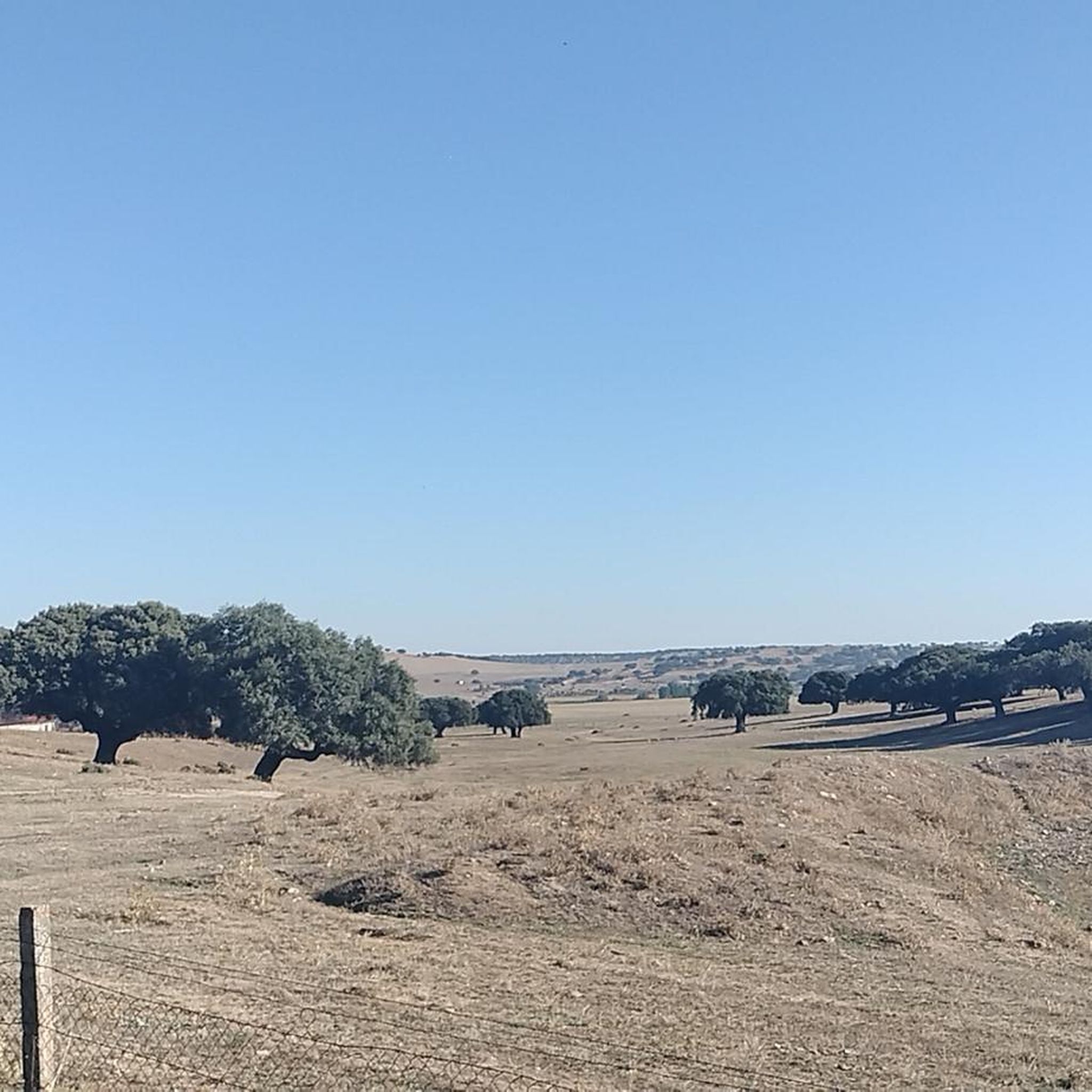
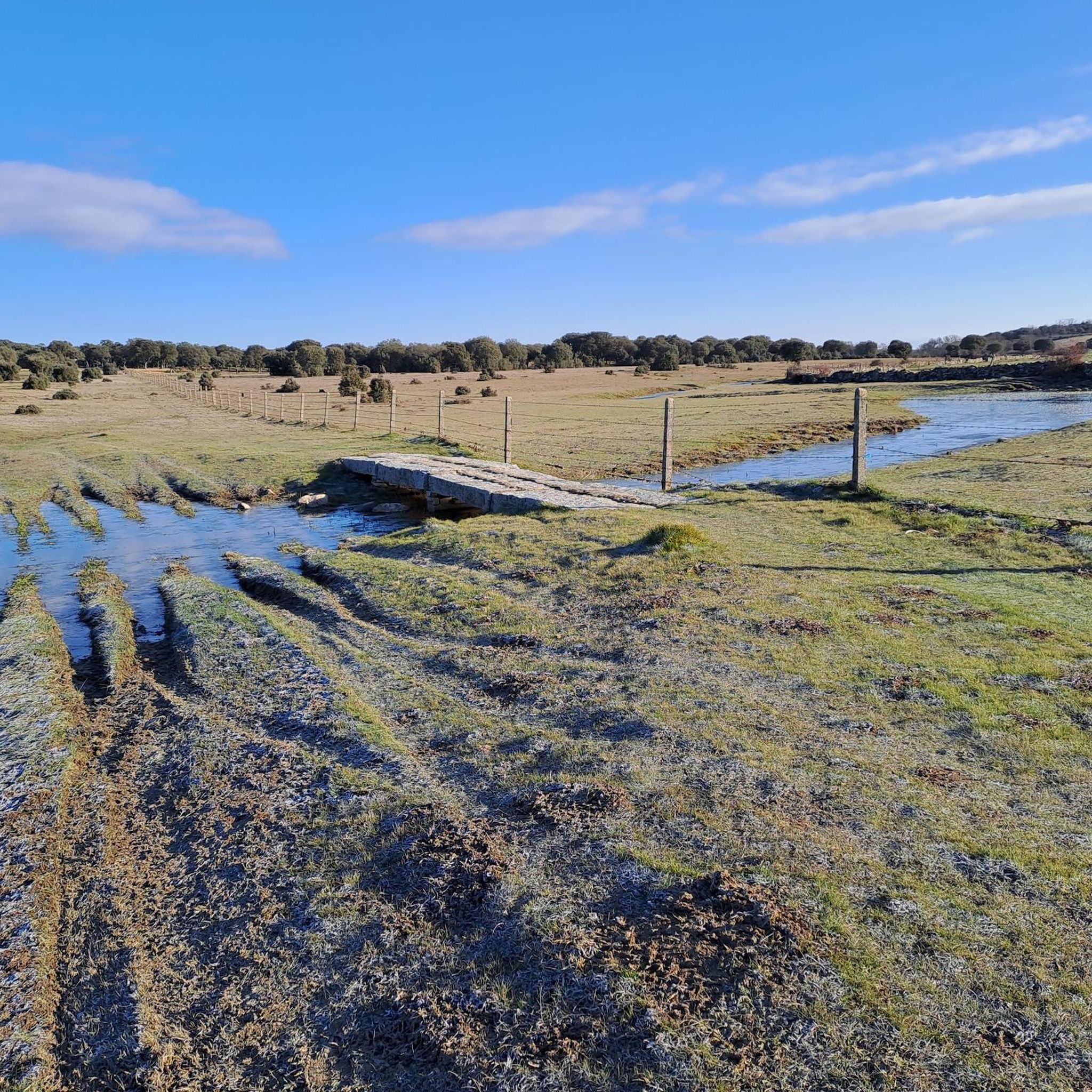
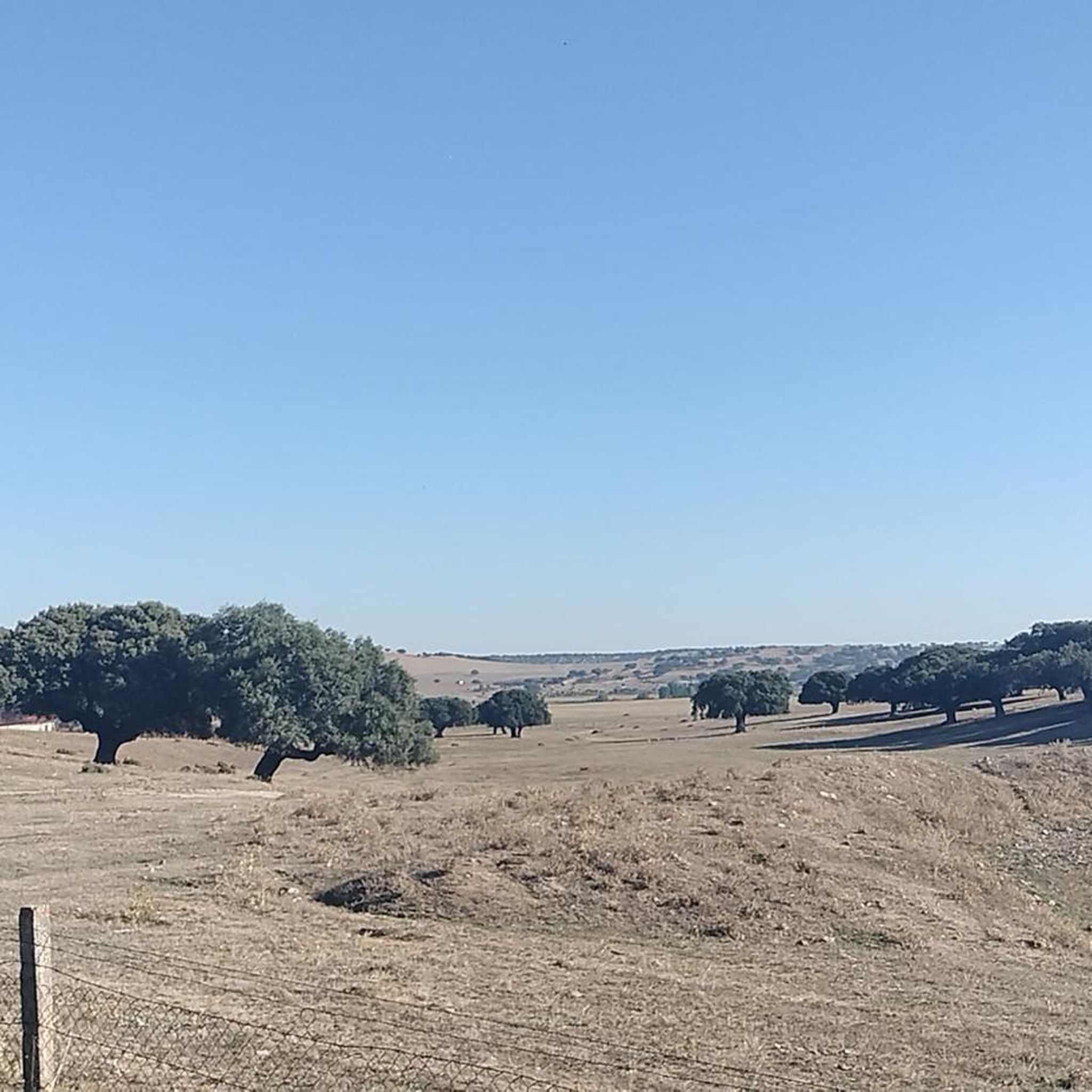
Between Puente del Congosto and Guijo de Ávila, the Cañada Real Soriana Occidental runs very close to the Tormes River, which makes the journey much more pleasant.
0
0

This is the tourist and gastronomic area of Guijuelo, considered the birthplace of acorn-fed Iberian ham with Protected Designation of Origin (PDO Guijuelo). More than 150 ham and cured meat producers are concentrated here. The cold, dry climate of the Sierra de Béjar favors a slow, natural curing process, giving the ham a sweeter, more unctuous flavor.
3
0

You cannot leave Guijuelo without eating its famous ham! The town is famous for the high quality of its hams and sausages from Iberian pigs. Although the meat comes largely from Extremadura and Andalusia, here it finds the perfect place for its curing, thanks to a characteristic cold and dry climate.
2
1

Outside the reservoir is the town of Salvatierra de Tormes, one of those that was expropriated in its day for construction and which is currently the subject of a recovery plan involving various groups and public administrations.
0
0
Frequently Asked Questions
How many jogging routes are available around Salvatierra de Tormes?
There are 5 dedicated jogging routes available in the Salvatierra de Tormes area. These routes generally range from moderate to difficult in terms of challenge, offering diverse experiences for runners.
What kind of terrain can I expect on running trails in Salvatierra de Tormes?
The terrain around Salvatierra de Tormes is quite varied, transitioning from plains to more mountainous areas, and featuring traditional 'dehesa' landscapes. You'll find paths along the Santa Teresa Reservoir and the Tormes River, offering scenic, often tranquil, runs. The elevated position of the town also means you can expect some inclines and declines, providing a good workout with panoramic views.
Are there any circular jogging routes in the area?
Yes, several routes are designed as loops, allowing you to start and finish in the same location. For example, you could try the Guijuelo Jamón District loop from Guijuelo or the Santa Teresa Reservoir loop from Romanas for a scenic run.
Are there long-distance running trails near Salvatierra de Tormes?
For those looking for a longer challenge, the area offers routes such as the La Charca – Cabecillo de los Dados loop from Fuentes de Béjar, which spans over 27 kilometers. This route provides a significant distance for endurance training amidst the region's diverse landscapes.
What are some interesting landmarks or natural features I might see while running?
Many routes offer views of the stunning Santa Teresa Reservoir and the Tormes River. You might also encounter historical sites like the ruins of the Castillo de la Mora Encantada overlooking the reservoir, or the charming historic village itself with its medieval remnants. The Guijuelo Jamón District is another notable area you could pass through.
Are the running routes in Salvatierra de Tormes suitable for beginners?
The routes listed for Salvatierra de Tormes are generally rated as moderate to difficult. While the area is known for having trails adapted to various difficulty levels, those specifically highlighted here might be more challenging for absolute beginners. However, the peaceful atmosphere and scenic views make them enjoyable for those with some running experience.
What do other runners enjoy the most about jogging in Salvatierra de Tormes?
The komoot community rates the running experience in Salvatierra de Tormes highly, with an average score of 4.0 stars. Runners often praise the tranquil environment, the stunning views of the Santa Teresa Reservoir, and the varied terrain that keeps runs interesting and engaging.
Is there parking available near the running trails?
While specific parking details for each trailhead are not always listed, Salvatierra de Tormes is a small municipality. Generally, you can find parking within the villages or near popular starting points for routes, especially in areas like Guijuelo or Fuentes de Béjar, which serve as common access points for these trails.
What is the best time of year for running in Salvatierra de Tormes?
Due to its elevated position, Salvatierra de Tormes often experiences cooler temperatures, making spring and autumn ideal for running. These seasons offer pleasant weather, vibrant landscapes, and a comfortable environment for outdoor activities. Summer mornings and evenings can also be suitable, while winters might be colder but still offer unique scenic beauty.
Are there any routes that offer a mix of natural beauty and historical charm?
Yes, many routes in the region naturally blend both. While running, you'll often have views of the Santa Teresa Reservoir and the Tormes River, and you might pass through or near historic villages and ancient structures. The town of Salvatierra de Tormes itself, with its medieval remnants, provides a charming backdrop for urban or mixed-terrain jogs.
How challenging are the elevation changes on these running routes?
The routes around Salvatierra de Tormes feature varying elevation changes, reflecting the region's diverse topography. For instance, the Running loop from Santibáñez de Béjar has about 135 meters of elevation gain, while longer, more difficult routes like the La Charca – Cabecillo de los Dados loop from Fuentes de Béjar can involve over 240 meters of ascent, providing a good test for your stamina.
Most popular routes around Salvatierra De Tormes
Most popular attractions around Salvatierra De Tormes

Get inspired with the komoot mobile app


Explore more
Browse the best Running Trails & Routes in other regions.
