The best traffic-free bike rides around Rialto
4.5
(789)
22,848
riders
4
rides
No traffic road cycling routes around Rialto offer diverse terrain for cyclists. The region features a blend of urban paths and natural landscapes, with routes that include rolling hills and significant elevation gains. Cyclists can experience views of the San Jacinto Mountains and Mount Baldy, alongside stretches near the Santa Ana River. Rialto's cycling network incorporates dedicated cycleways and shared footways.
Best no traffic road cycling routes around Rialto
- The most popular no traffic road cycling route is View of…
Last updated: July 9, 2026
5.0
(1)
38
riders
20.3km
01:03
350m
350m
Moderate road ride. Good fitness required. Mostly well-paved surfaces and easy to ride.
20
riders
15.0km
00:50
320m
320m
Moderate road ride. Good fitness required. Mostly well-paved surfaces and easy to ride.

Sign up for free
19
riders
13.8km
00:51
300m
300m
Moderate road ride. Great for any fitness level. Some segments of this route may be unpaved and difficult to ride.
5.0
(2)
3
riders
Hard road ride. Very good fitness required. Some segments of this route may be unpaved and difficult to ride.
Our route recommendations are based on thousands of hikes, rides, and runs completed by other people on komoot.
Start today with a free account
Your next adventure awaits.
Login or Signup


Tips from the Community

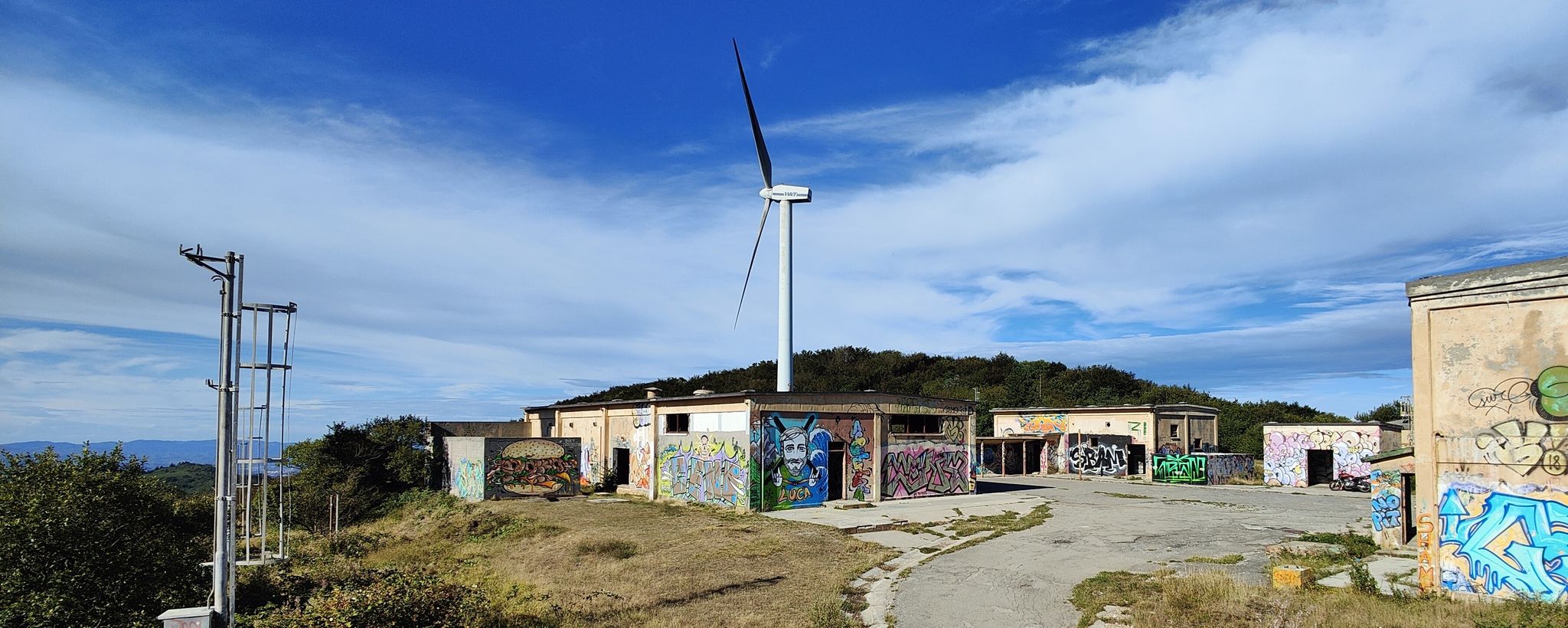
Ruins of an old tower with a walled courtyard. Difficult to reach. Apparently located on private property. Can be viewed from the outside. The entrance is blocked. If there was once an official path, it no longer exists. Nevertheless, the tower is still indicated on hiking signs. Recommended for explorers with good physical condition and sure footing.
0
0

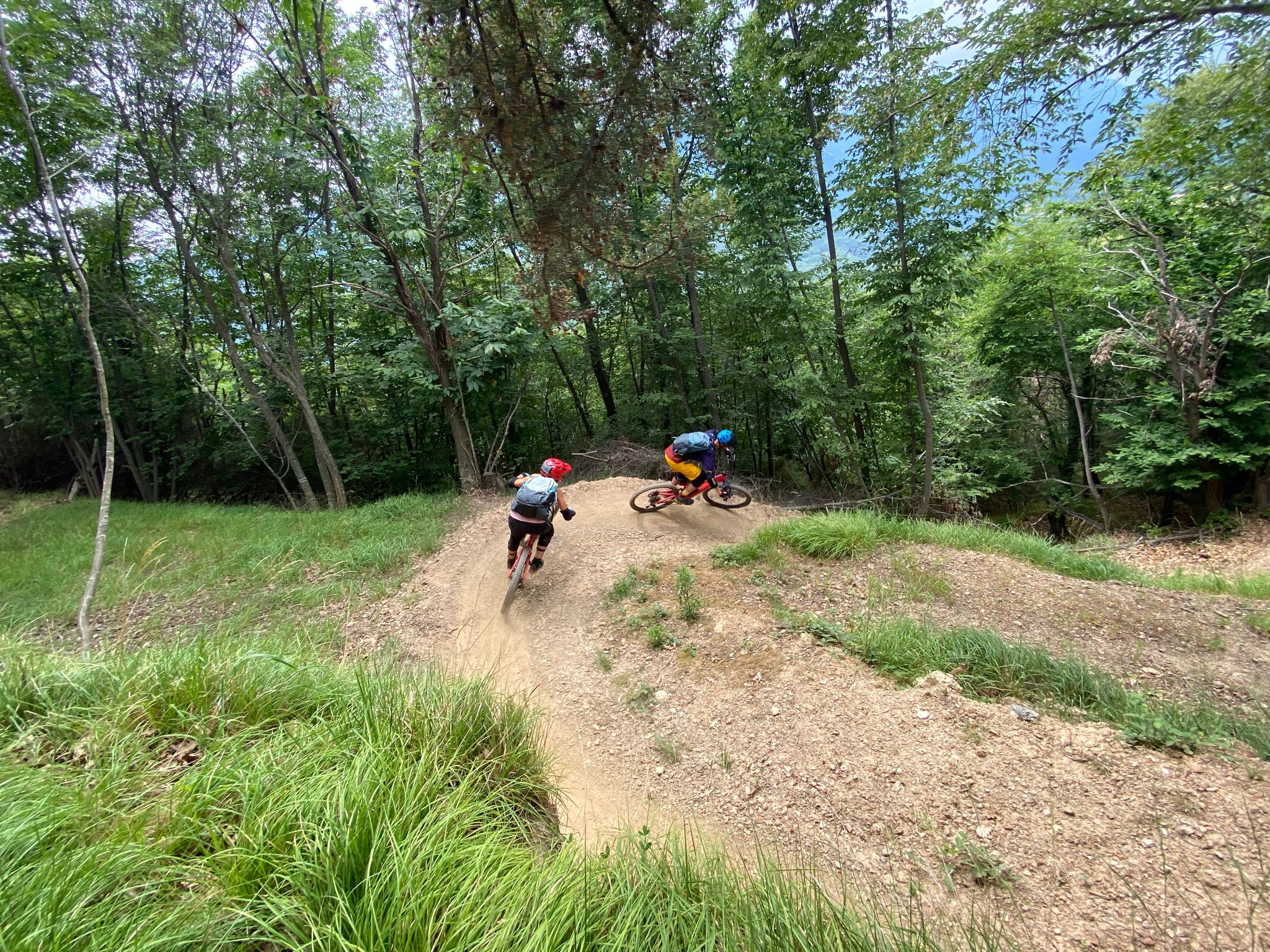
Spectacular road, I recommend passing through this point.
21
0
Point of view to take beautiful photos.
18
0
Gorra is a hamlet of the Italian municipality of Finale Ligure, in the province of Savona. It is located inland, 6.11 kilometers from the capital.
22
0
Le Manie is a beautiful road that allows you to cut off a piece of the Aurelia and is very panoramic.
18
0
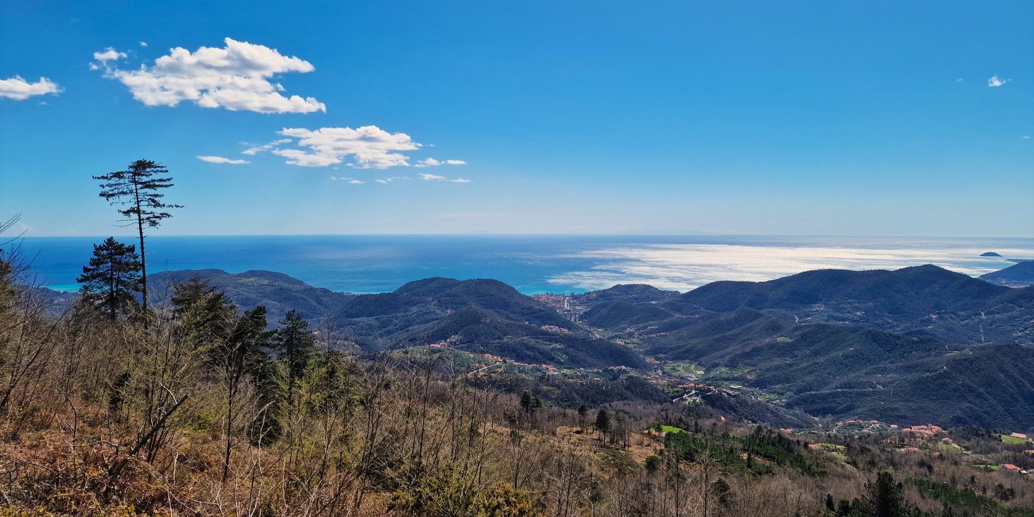
Viewpoint on the beautiful Ligurian coast.
18
0

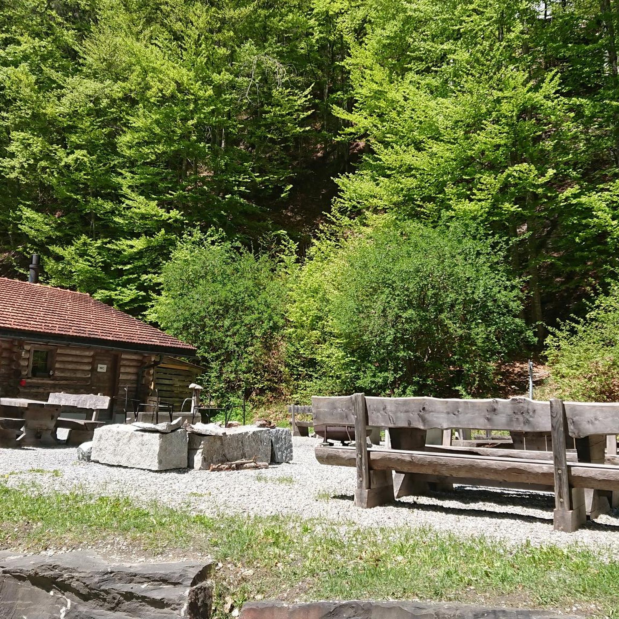
Beach equipped with showers and a drinking fountain. Ideal for a stop during a bike tour.
0
0

Frequently Asked Questions
How many no-traffic road cycling routes are available in Rialto, California?
While this specific guide highlights a few routes, the broader Rialto region offers a wide array of road cycling routes, with over 68 options available for exploration. These routes cater to various skill levels, from urban paths to challenging climbs.
What types of terrain can I expect on no-traffic road cycling routes in Rialto?
Rialto's no-traffic road cycling routes feature diverse terrain, including dedicated cycleways, cycle lanes, and shared footways. You'll find a mix of urban and suburban paths, rolling hills, and routes with significant elevation gains, often providing views of the San Jacinto Mountains and Mount Baldy.
Are there any long-distance, traffic-free cycling options in Rialto?
Yes, the Pacific Electric Trail is a notable option. The segment from Fontana, for example, offers a 35.0-mile (56.3 km) continuous, multi-use path that winds through urban and suburban areas with expansive views, providing a great car-free experience.
What are some scenic viewpoints or natural features I might encounter on these routes?
Many routes offer picturesque views of the San Jacinto Mountains and Mount Baldy. You might also find stretches alongside the Santa Ana River. For natural exploration off the bike, the Lytle Creek Foothills Preserve offers trails with Mt. Baldy views, and Etiwanda Falls provides a shaded canyon with cool water.
Are there any family-friendly no-traffic cycling routes in Rialto?
The Pacific Electric Trail is generally considered family-friendly due to its continuous, multi-use path design, making it suitable for cyclists of varying ages and abilities looking for a car-free environment.
What is the best time of year to go no-traffic road cycling in Rialto?
Spring and fall generally offer the most pleasant weather for cycling in Rialto, with milder temperatures. Summers can be very hot, so early morning or late afternoon rides are recommended during those months. Winters are typically mild, making year-round cycling possible, though occasional rain may occur.
Where can I find parks or recreation areas near the cycling routes?
Rialto has several parks that could be convenient stops or starting points. Rialto City Park, Frisbie Park, and Jerry Eaves Park all offer amenities like picnic areas, and some have walking trails. Frisbie Park also includes a dog park.
What do other cyclists say about road cycling in Rialto?
The komoot community rates cycling in the Rialto area highly, with an average score of 4.48 stars from 683 ratings. Cyclists often praise the diverse terrain and the availability of dedicated cycling infrastructure that allows for traffic-free experiences.
Are there any challenging no-traffic road cycling routes for experienced riders?
While dedicated car-free routes with significant climbs are less common, the region does offer challenging road cycling options. For instance, the Oak Glen Loop is a more difficult 64.1-mile (103.2 km) path known for its substantial elevation gain and varied terrain, though parts may not be entirely traffic-free. The University Village to Arrowhead Lake Loop also offers demanding climbs.
Can I find places to eat or drink near the no-traffic cycling routes?
While specific cafes or pubs directly on the car-free paths like the Pacific Electric Trail are limited, you will find various dining options in the urban and suburban areas that the trail passes through or near. Exploring the communities along your chosen route will reveal local establishments.
Are there any circular no-traffic road cycling routes in the area?
Yes, many routes in the Rialto area are designed as loops. For example, the Moreno Valley & March Field Loop is a moderate 33.1-mile (53.3 km) route that provides scenic views and is designed as a circular path, offering a continuous ride without retracing your steps.
What kind of cycling infrastructure can I expect on no-traffic routes in Rialto?
Rialto's cycling network includes dedicated cycleways, cycle lanes, cycling paths, and shared footways. These infrastructures are designed to enhance accessibility and safety for riders, particularly on routes designated as traffic-free or low-traffic.
Most popular attractions around Rialto

Get inspired with the komoot mobile app


Explore more
Browse the best Road cycling routes in other regions.
