The best walks and hikes around gmina Panki
5.0
(2)
34
hikers
10
hikes
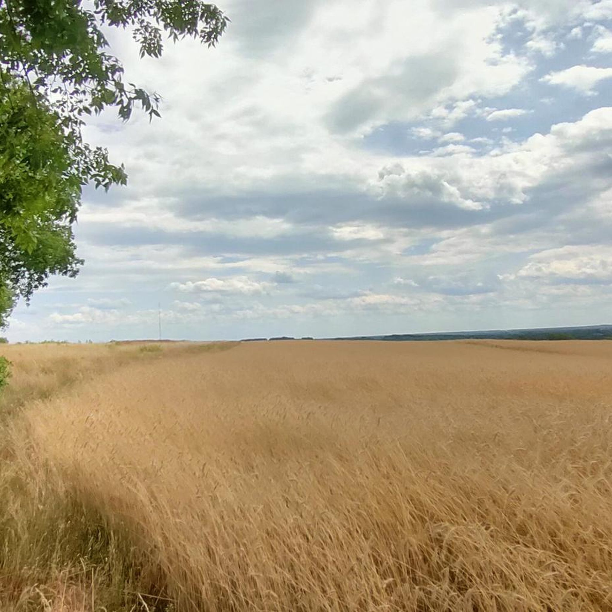
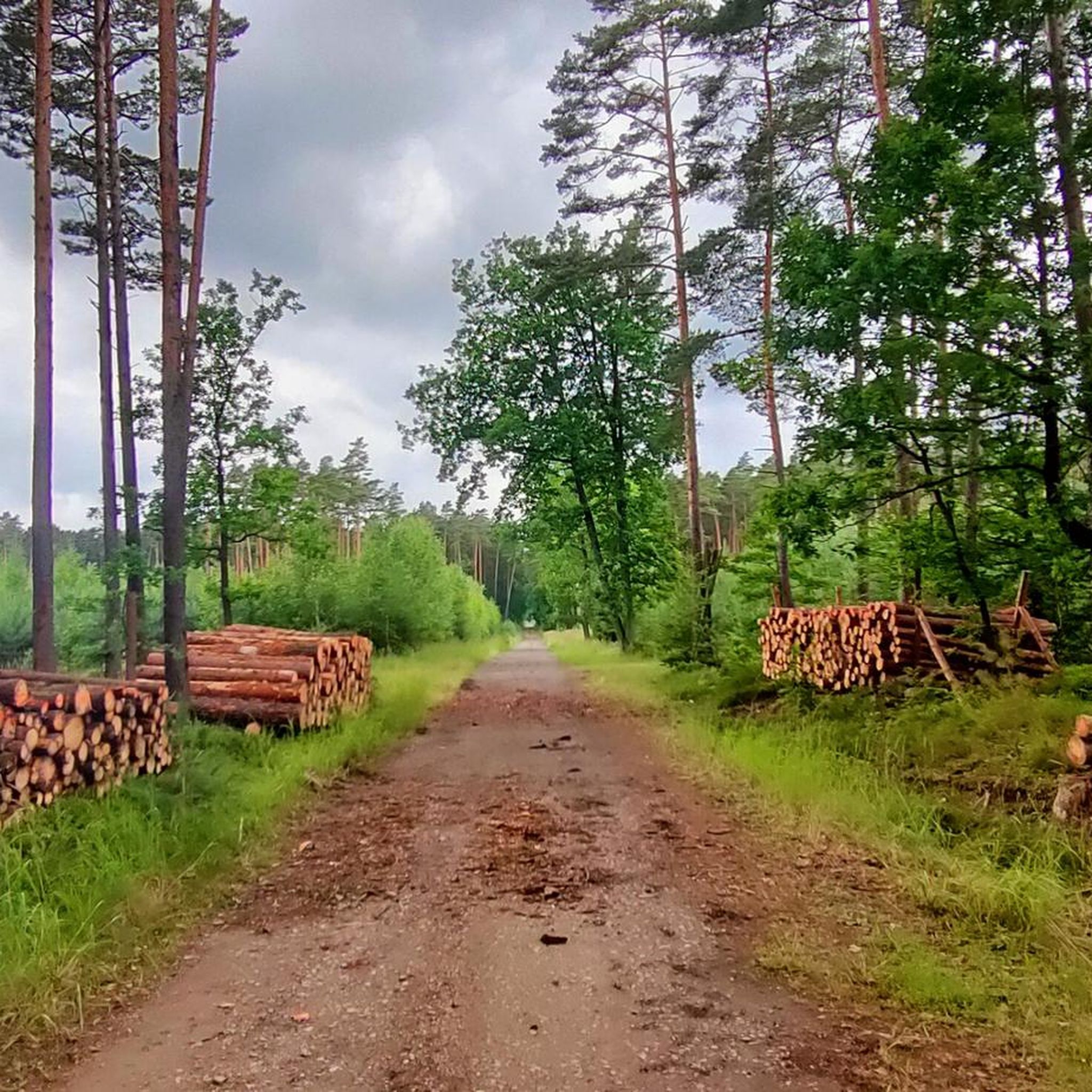
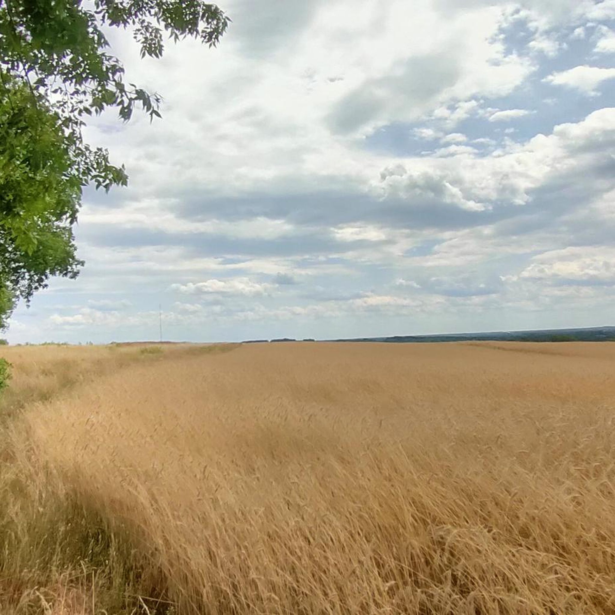
Hiking around gmina Panki offers accessible terrain characterized by a network of rural and forest roads. The region is located in the Silesian Voivodeship in Poland, providing diverse environments for outdoor activities. Natural features include the Upper Liswarta Forests Landscape Park, home to a unique rhododendron stand and tranquil forest ponds like Brzoza Pond. These landscapes create varied opportunities for hikers of different skill levels.
Best hiking trails around gmina Panki
- The most popular hiking route is Around Zakrzew Reservoir…
Last updated: July 4, 2026
11
hikers
6.44km
01:39
20m
20m
Easy hike. Great for any fitness level. Easily-accessible paths. Suitable for all skill levels.
2
hikers
6.32km
01:36
10m
10m
Easy hike. Great for any fitness level. Easily-accessible paths. Suitable for all skill levels.

Sign up for free
2
hikers
10.8km
02:46
40m
40m
Moderate hike. Good fitness required. Easily-accessible paths. Suitable for all skill levels.
3
hikers
15.3km
03:54
40m
40m
Moderate hike. Good fitness required. Easily-accessible paths. Suitable for all skill levels.
2
hikers
9.67km
02:29
50m
50m
Moderate hike. Good fitness required. Easily-accessible paths. Suitable for all skill levels.
Get access to more routes and recommendations from other explorers.
Sign up for free
Already have an account?
Our route recommendations are based on thousands of hikes, rides, and runs completed by other people on komoot.
Start today with a free account
Your next adventure awaits.
Login or Signup
Popular around gmina Panki
Frequently Asked Questions
How many hiking trails are available in gmina Panki?
There are 10 hiking trails available in gmina Panki, offering a range of experiences for outdoor enthusiasts.
What kind of terrain can I expect on hikes in gmina Panki?
The region features accessible terrain with a network of rural and forest roads, making it suitable for various outdoor activities. You'll primarily encounter paths through pine forests and along tranquil ponds, especially within the Park Krajobrazowy Lasy nad Górną Liswartą (Upper Liswarta Forests Landscape Park).
Are there any easy hiking trails suitable for beginners or families?
Yes, gmina Panki offers several easy trails. For a gentle walk, consider the Around Zakrzew Reservoir loop from Rezerwat Debowa Gora, which covers about 6.4 km with minimal elevation gain. Another accessible option is the Hiking loop from Węglowice, a 6.3 km route through pleasant surroundings.
What unique natural features can I discover while hiking in gmina Panki?
One of the most significant natural attractions is the Rhododendron Stand in Park Krajobrazowy Lasy nad Górną Liswartą. These rhododendron bushes, planted over a century ago, create a stunning display, particularly at the turn of May and June. Nearby, you can also find the tranquil Brzoza Pond, offering a picturesque forest setting. You can explore these on the Nowa Brzoza – Rhododendrons loop from Zborowskie.
Are there any historical landmarks or points of interest along the trails?
While the region is primarily known for its natural beauty, you can find historical sites nearby. The Danków Fortress Ruins offer a glimpse into the area's past, and the Historic Clay Pipe Factory in Zborowskie provides insight into local heritage.
When is the best time of year to go hiking in gmina Panki?
The best time to visit for hiking is generally from spring to autumn. If you wish to see the unique rhododendron stand in full bloom, plan your visit for late May or early June. The accessible forest paths are enjoyable throughout these seasons.
Are the hiking trails in gmina Panki suitable for dogs?
Many of the rural and forest roads in gmina Panki are generally suitable for dogs, provided they are kept under control. The natural environment, with its extensive woodlands and open paths, offers a great setting for walks with your canine companion. Always ensure to follow local regulations regarding pets.
Are there any circular hiking routes in gmina Panki?
Yes, many of the trails in gmina Panki are designed as circular routes, allowing you to start and end at the same point. For example, the Staw Nowy loop from Zborowskie is a moderate 10.7 km circular hike, and the Rezerwat Modrzewiowa Góra loop from Panki offers a 9.6 km moderate loop.
What is the longest hiking trail available in gmina Panki?
The longest trail listed is the Nowa Brzoza – Rhododendrons loop from Zborowskie, which spans approximately 15.3 km. This moderate route allows you to explore significant natural features of the region.
What are the difficulty levels of the hikes in gmina Panki?
The hikes in gmina Panki are predominantly easy to moderate. There are 3 easy trails, perfect for a relaxed stroll, and 7 moderate trails for those looking for a bit more challenge without extreme difficulty. There are no difficult trails in this guide.
Is parking readily available near the trailheads in gmina Panki?
As gmina Panki is a rural area, parking is generally available in or near the starting points of trails, especially in villages or designated recreational spots. It's advisable to check specific starting locations for the best parking options.
Most popular routes around gmina Panki
Most popular attractions around gmina Panki

Get inspired with the komoot mobile app


Explore more
Browse the best Hikes in other regions.
