The best dog-friendly hikes and walks in Greenbrier County
5.0
(1)
15
hikers
3
hikes
Dog friendly hiking trails in Greenbrier County, West Virginia, traverse a landscape defined by the Allegheny Mountains, rolling hills, and rich hardwood valleys. The region features diverse terrain, including the Greenbrier River, which is a central natural feature. Karst geology is also present, contributing to varied geological formations. These elements combine to offer a range of hiking experiences for different skill levels.
Best dog friendly hiking trails in Greenbrier County
- The most popular dog friendly hiking route is Greenbrier River…
Last updated: July 1, 2026
154km
40:02
1,000m
830m
Hike the Greenbrier River Trail, a difficult 95.9-mile route through lush forests and along the Greenbrier River in West Virginia.
154km
40:02
1,000m
830m
Hike the Greenbrier River Trail, a difficult 95.9-mile route in West Virginia, offering riverside views, forests, and historical tunnels.

Sign up for free
5
hikers
5.18km
01:19
20m
20m
Easy hike. Great for any fitness level. Easily-accessible paths. Suitable for all skill levels.
Our route recommendations are based on thousands of hikes, rides, and runs completed by other people on komoot.
Start today with a free account
Your next adventure awaits.
Login or Signup
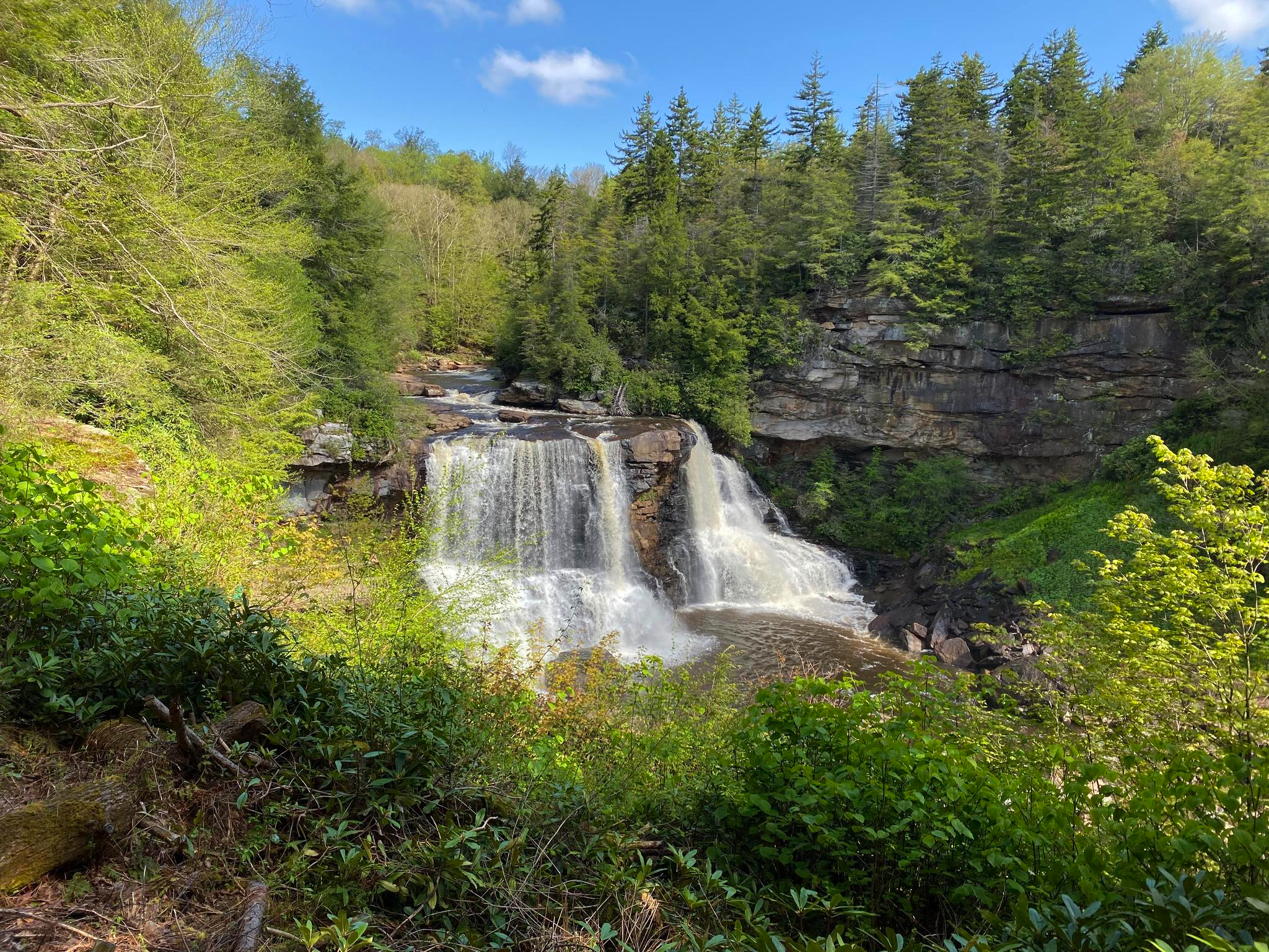
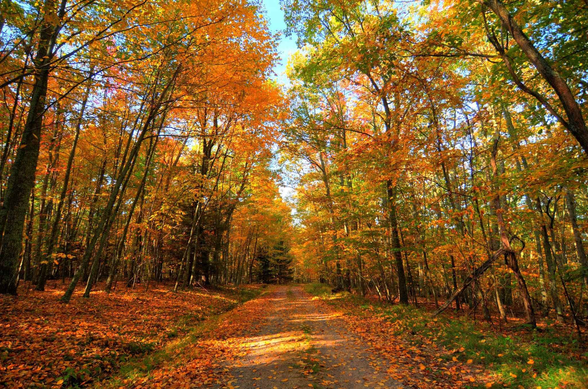
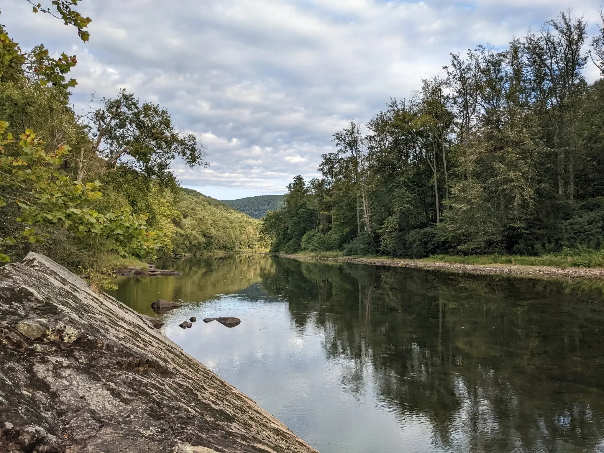
Other adventures in Greenbrier County


Tips from the Community

Anthony Road, at mile marker 14.4 heads west into Frankford, where you can grab groceries, stop at a post office, or use a public phone. To the east, Anthony Road heads toward the forest service campgrounds and vastness of the Big Draft Wilderness.
0
0
Renick, called Falling Spring on some maps, is a remote little town that offers a post office, limited food options, and public phone access. This area of the river has some great swimming spots, like Norman Blue Hole just north of town along the the trail. Within mile marker 25 through Renick, there's potable water, bathrooms, and picnic tables. You can find a bike repair station within mile 25, where the trail intersects with Slab Camp Road.
0
0
This 402-foot tunnel was completed in 1900 to allow railway passage directly through Droop Mountain. Even in daylight hours, it's dark in the middle of a 402-foot tunnel! A flashlight is recommended if you're riding through.
0
0
Located within the thick forest around mile marker 8.1, Loopemount Waterfall is truly a hidden gem. It doesn't have a constant flow and it's best viewed after a heavy rain.
0
0
From this spot, in the curve between the picnic tables at mile marker 7.5 and the bathrooms at mile marker 9.5, you can catch some glimpses of the river through the open gaps in the trees as you ride above it.
0
0
This campsite at mile 20.5, across the trail from the river, has a tent pad, picnic table, fire ring, and pit toilets. This campsite does not have a potable water source. This campsite, like the other official sites along the trail, operates on a first-come basis.
0
0
At mile 9.5, there's a small wooden shelter along with a fire ring, picnic table, and public water fountain. This spot can be a good place to seek refuge from inclement weather or spend a night.
0
0
As the official starting point of the trail, this parking area offers detailed trail information on signage, a drinking water refill station, a bike repair station, and picnic tables under some shady trees.
0
0
Frequently Asked Questions
How many dog-friendly hiking trails are available in Greenbrier County?
Greenbrier County offers a selection of dog-friendly hiking trails. Our guide features 3 routes, ranging from easy strolls to more challenging long-distance paths, ensuring options for various preferences and fitness levels.
What types of landscapes can I expect on dog-friendly hikes in Greenbrier County?
Greenbrier County, nestled in West Virginia's Allegheny Mountains, provides a diverse hiking experience. You can expect trails winding through forested slopes, along the scenic Greenbrier River, and past unique geological features like those found in karst regions. The area is also known for its rich biodiversity and unique shale barrens ecosystems.
Are there easy dog-friendly trails suitable for all fitness levels in Greenbrier County?
Yes, there are easy dog-friendly options. For a relaxed outing, consider the Mile 4.7 Campsite loop from Caldwell. This trail offers a gentle experience, perfect for a leisurely walk with your dog.
What are some of the longer, more challenging dog-friendly routes in the area?
For those seeking a more extensive adventure, the Greenbrier River Trail offers a significant challenge. This trail is part of the 78-mile rail-trail, known for its length and varied terrain, making it suitable for experienced hikers and their dogs.
What can I see along the dog-friendly hiking trails in Greenbrier County?
Many trails offer scenic views and points of interest. Along the Greenbrier River Trail, you might encounter the historic Droop Mountain Tunnel. Other natural attractions in the wider county include the Lake Sherwood Recreation Area and the expansive Big Draft Wilderness.
What is the best time of year to hike with my dog in Greenbrier County?
Spring and fall generally offer the most pleasant hiking conditions in Greenbrier County. Spring brings blooming wildflowers and mild temperatures, while fall showcases stunning foliage. Summers can be warm and humid, and winters may bring snow and colder temperatures, requiring appropriate gear and caution.
Are there any specific regulations for dogs on trails in Greenbrier County?
While specific regulations can vary by park or forest, it's generally recommended to keep your dog on a leash at all times for their safety and the safety of wildlife and other hikers. Always pack out waste and ensure your dog has access to plenty of water, especially on longer hikes.
What do other hikers enjoy most about dog-friendly hiking in Greenbrier County?
The komoot community highly rates the hiking experiences here, with an average score of 5.0 stars. Reviewers often praise the peaceful riverside paths, the natural beauty of the Allegheny Mountains, and the opportunity to explore diverse ecosystems with their canine companions.
Are there any dog-friendly accommodations or places to eat near the trails?
While our guide focuses on trails, Greenbrier County, including towns like Lewisburg and White Sulphur Springs, is increasingly dog-friendly. Many establishments welcome well-behaved dogs, especially at outdoor seating areas. It's always best to call ahead to confirm pet policies before visiting.
Where can I find more information about the Greenbrier River Trail?
The Greenbrier River Trail is a significant feature of the region. You can find detailed information about sections of this trail, including the longer route and the Caldwell loop, within our guide. It's known for its gentle grade and scenic views along the longest free-flowing river in West Virginia.
Most popular attractions in Greenbrier County

Get inspired with the komoot mobile app


Explore more
Browse the best Hikes in other regions.
