The best cycling routes around Miglieglia
4.3
(2026)
22,936
riders
181
rides
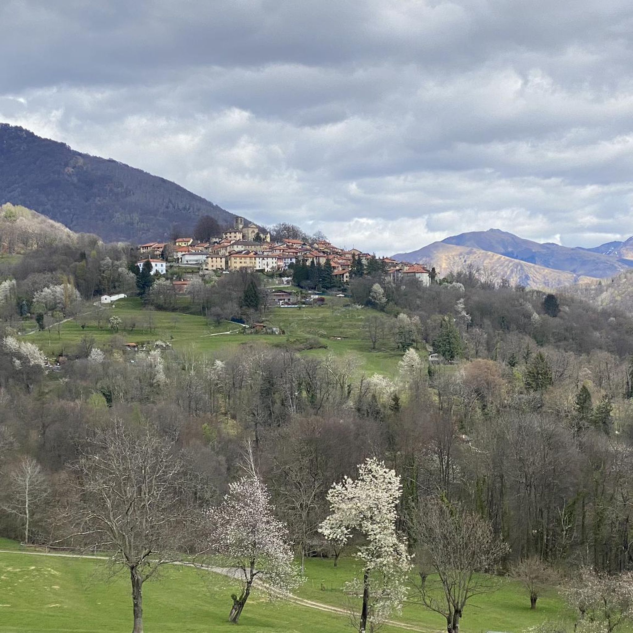
Touring cycling routes around Miglieglia are characterized by varied terrain, including significant elevation changes and scenic views. The region, located in the Ticino canton of Switzerland, features a landscape of rolling hills, dense woodlands, and proximity to Lake Lugano. Routes often traverse through natural reserves and offer glimpses of alpine pastures. This area provides challenging climbs and rewarding descents for touring cyclists.
Best touring cycling routes around Miglieglia
- The most popular touring cycling route is Church of San Michele –…
Last updated: July 5, 2026
1.0
(1)
52
riders
19.6km
01:52
530m
530m
Hard bike ride. Very good fitness required. You may need to push your bike for some segments of this route.
4.0
(3)
46
riders
28.0km
02:02
490m
490m
Hard bike ride. Very good fitness required. Mostly paved surfaces. Suitable for all skill levels.

Sign up for free
24
riders
15.4km
01:31
560m
560m
Hard bike ride. Very good fitness required. Mostly paved surfaces. Suitable for all skill levels.
5.0
(1)
26
riders
15.5km
01:18
510m
510m
Hard bike ride. Very good fitness required. Mostly paved surfaces. Suitable for all skill levels.
4.0
(3)
21
riders
29.5km
02:11
600m
600m
Hard bike ride. Very good fitness required. Mostly paved surfaces. Suitable for all skill levels.
Get access to more routes and recommendations from other explorers.
Sign up for free
Already have an account?
Our route recommendations are based on thousands of hikes, rides, and runs completed by other people on komoot.
Start today with a free account
Your next adventure awaits.
Login or Signup
Popular around Miglieglia
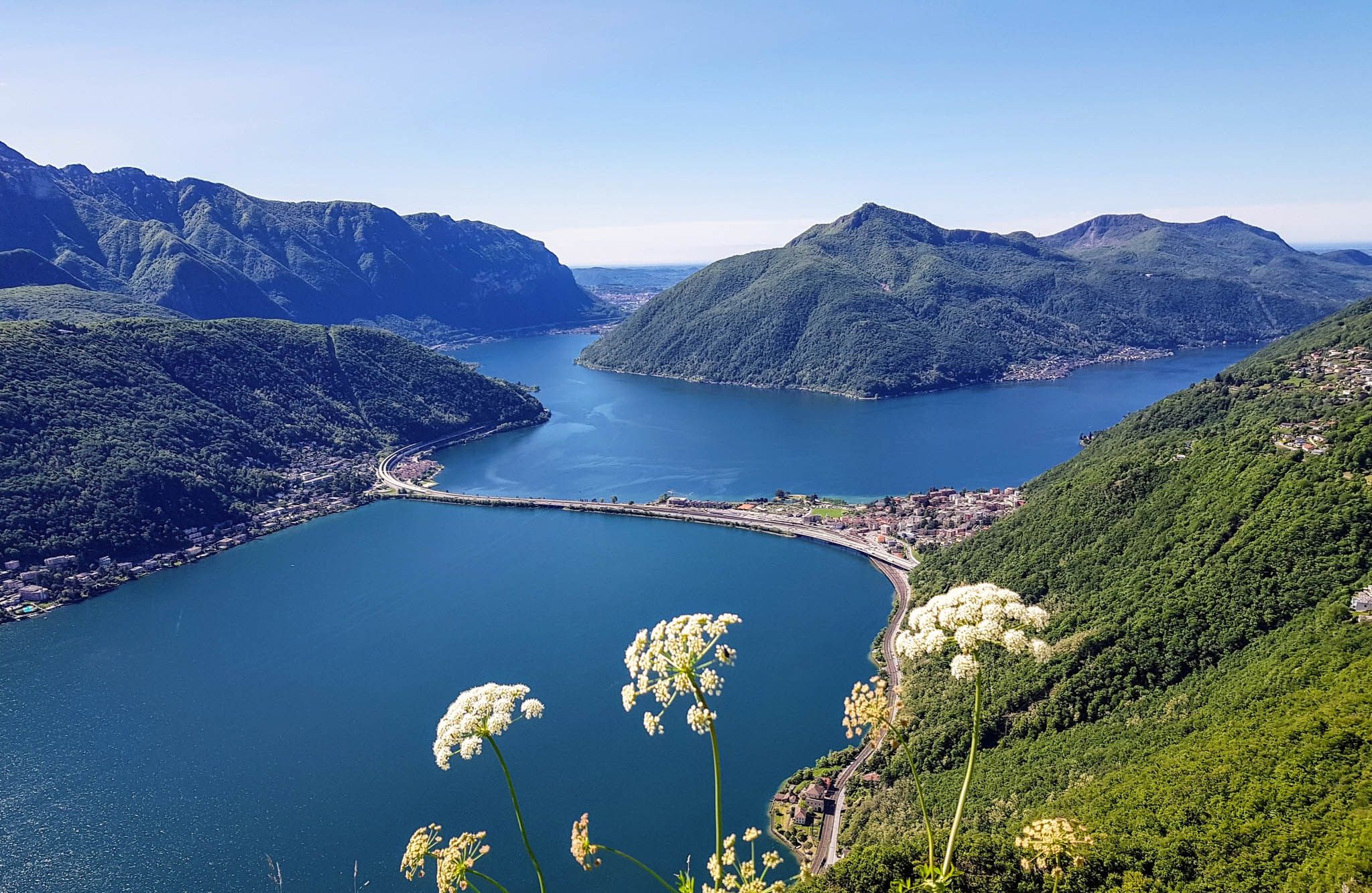
Sentiero Lago di Lugano – Between summits and lakes
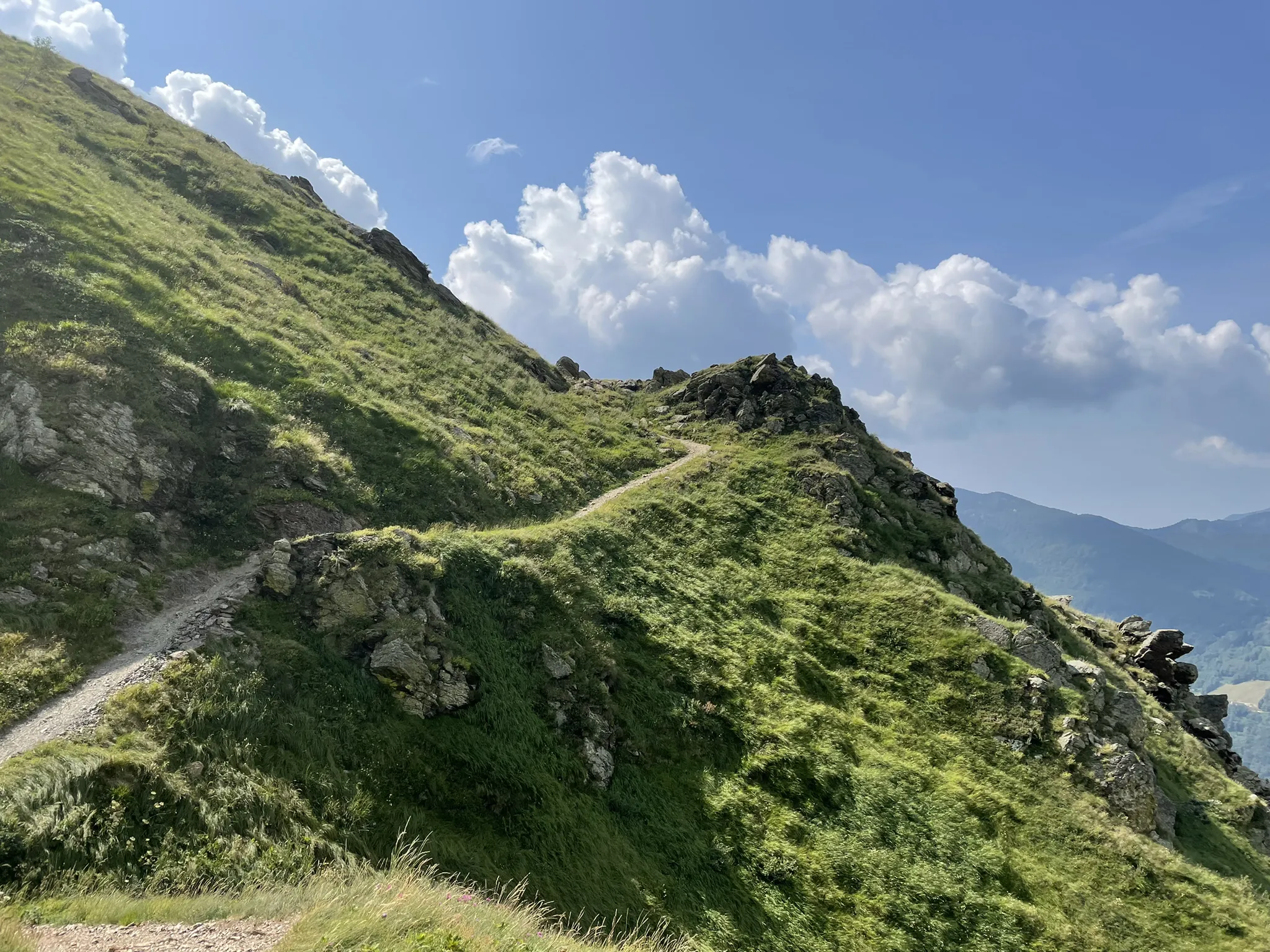
Over the mountains of Tessin - Lugano Bike 66
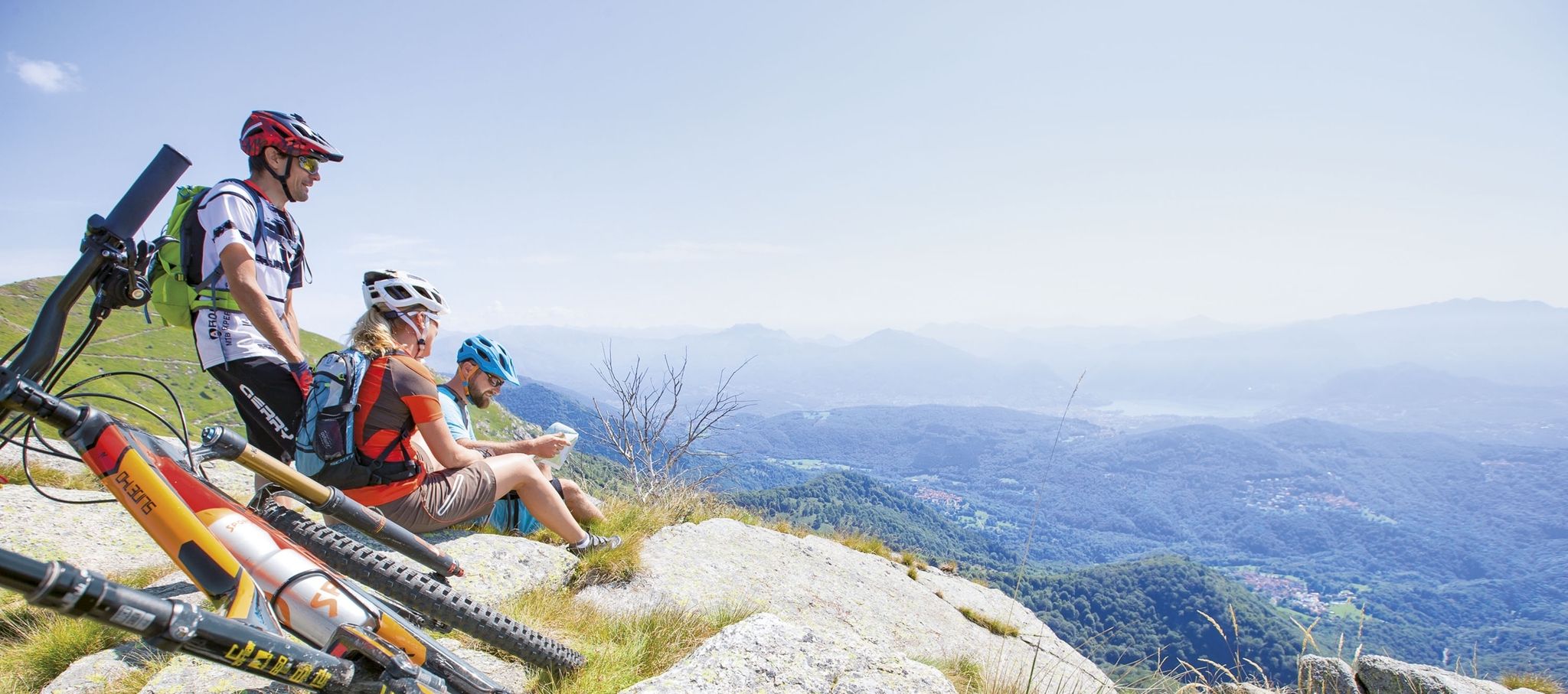
Ride together – the komoot MTB relay through Ticino in Switzerland
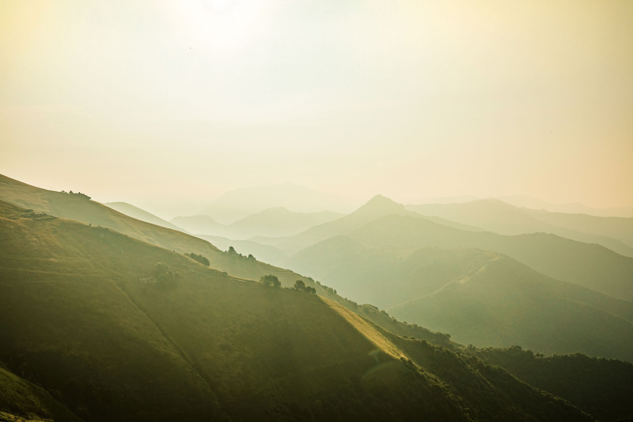
Ticino — Between heaven and formaggini
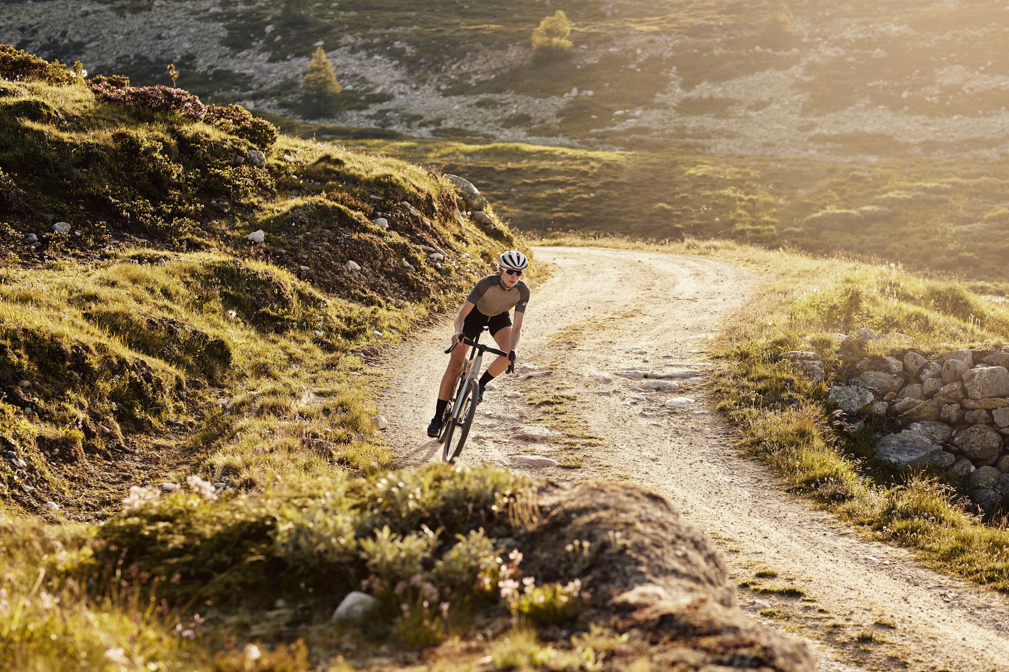
Schottergenuss und Gaumenschmaus – Grand Gourmet Rides durch die Schweiz
Hiking around Miglieglia
Road Cycling Routes around Miglieglia
MTB Trails around Miglieglia
Running Trails around Miglieglia

Gravel biking around Miglieglia
Other adventures around Miglieglia


Tips from the Community

Checkpoint Malcantone: Stamp at Monte Faeta Dolci at Cima Pianca At Checkpoint Malcantone you will get your Stamp at Monte Faeata and your Dolci at the Cima Pianca Hut (1.2 km Distance in between). During the day, our Volunteers may hand out Dolci right at the Monte Faeta. But as they have kids, they will welcome you at the Cima Pianca hut at night or in very bad weather.
0
0
Checkpoint Malcantone: Stamp at Monte Faeta Dolci at Cima Pianca At Checkpoint Malcantone you will get your Stamp at Monte Faeata and your Dolci at the Cima Pianca Hut (1.2 km Distance in between). During the day, our Volunteers may hand out Dolci right at the Monte Faeta. But as they have kids, they will welcome you at the Cima Pianca hut at night or in very bad weather.
0
0

Beautiful bathing area
0
0

I also saw the turtles at that spot.
0
0
Great cycle path that runs directly along the lake.
0
0
Beautiful cycle path directly along the lake.
0
0

Excellent cycle path that avoids the main road towards Ponte Tresa which is usually very busy
1
1

This church in Arosio was dedicated to the Archangel Michael. The name (from the Hebrew language) means "Who is like God?" He is often depicted - in paintings or as a statue - with a flaming sword, occasionally with a lance. Michael is - together with Raphael and Gabriel, and occasionally Uriel is also included - one of the three or four archangels who (according to human belief) occupy the highest rank in the heavenly hierarchy of angelic beings. Their common feast day in the calendar of saints is September 29th.
0
0
Frequently Asked Questions
How many touring cycling routes are available around Miglieglia?
There are over 180 touring cycling routes in the Miglieglia area. These include 23 easy, 59 moderate, and 99 difficult routes, offering options for various skill levels.
Are there easy touring cycling routes suitable for beginners in Miglieglia?
Yes, Miglieglia offers 23 easy touring cycling routes. While many routes in the region feature significant elevation changes, you can find gentler options. For instance, routes closer to Lake Lugano might offer flatter sections.
What kind of terrain can I expect on touring cycling routes near Miglieglia?
The terrain around Miglieglia is varied, characterized by rolling hills, dense woodlands, and proximity to Lake Lugano. You'll encounter challenging climbs and rewarding descents, often traversing natural reserves and alpine pastures.
Are there any circular touring cycling routes in the Miglieglia area?
Yes, many routes in Miglieglia are designed as loops. For example, the Novaggio Murals – View of Lake Maggiore loop from Curio is a difficult 15.4 km route that offers a scenic circular experience.
What are some scenic viewpoints or natural attractions I can visit along the touring cycling routes?
The region offers numerous scenic spots. You can find stunning views of Lake Lugano, such as those along the View of Lake Lugano – Lakeside Cycle Path Agno loop from Lema. Additionally, you can explore beautiful waterfalls like Al Maglio waterfall or Pevereggia Waterfalls, and enjoy views from Monte San Salvatore.
What do other touring cyclists enjoy most about cycling in Miglieglia?
The touring cycling routes in Miglieglia are highly rated by the komoot community, with an average score of 4.3 stars from over 1700 reviews. Cyclists often praise the diverse terrain, the challenging climbs, and the rewarding views of Lake Lugano and the surrounding natural landscapes.
Are there any routes that pass through nature reserves or protected areas?
Yes, several routes traverse natural reserves. The Church of San Michele – Stagno Agra Nature Reserve loop from Miglieglia is a prime example, taking you through a significant nature reserve.
What is the best time of year for touring cycling around Miglieglia?
The Ticino region, where Miglieglia is located, generally enjoys a mild climate. Spring and autumn are often ideal for touring cycling, offering pleasant temperatures and vibrant scenery. Summer can be warm, especially at lower elevations, while winter may bring snow to higher mountain passes.
Are there any advanced or challenging touring cycling routes for experienced riders?
Miglieglia is well-suited for experienced riders, with 99 difficult routes available. The Monte Lema Summit Hostel – Monte Lema Trail loop from Lema is a challenging 27.6 km route with significant elevation gain, leading towards Monte Lema Summit.
Can I find routes that offer views of Lake Maggiore as well as Lake Lugano?
Yes, some routes provide views of both lakes. For instance, the Novaggio Murals – View of Lake Maggiore loop from Curio offers glimpses of Lake Maggiore, complementing the more frequent views of Lake Lugano found throughout the region.
Are there any routes that explore alpine pastures?
Yes, the mountainous terrain around Miglieglia includes alpine pastures. The Cima Pianca Alpine Pasture – Novaggio Murals loop from Lema is a route that will take you through such scenic high-altitude landscapes.
Most popular routes around Miglieglia
Most popular attractions around Miglieglia

Get inspired with the komoot mobile app


Explore more
Browse the best Cycling routes in other regions.
