The best traffic-free bike rides around Balbigny
4.0
(1)
9
riders
3
rides
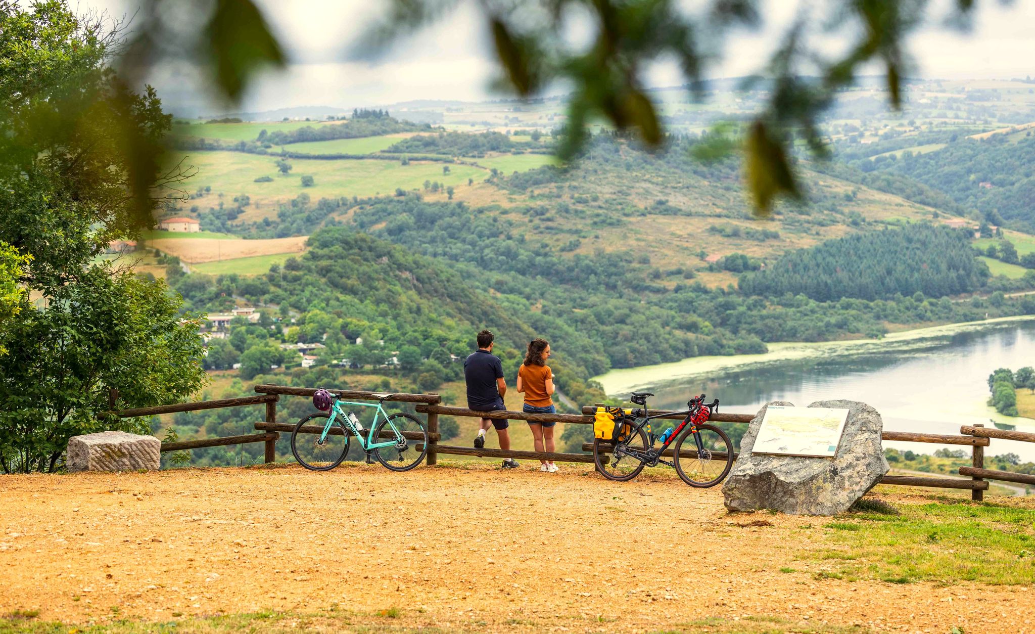
Gravel biking around Balbigny offers diverse landscapes shaped by the Loire River and its gorges, providing varied terrain for cyclists. The region features the Forez Plain and "bocage ligérien," characterized by wooded pastures and ponds. Altitudes range from approximately 314 meters to 482 meters, ensuring a mix of relatively flat sections along the river and more challenging climbs. Gravel tracks often consist of "Falun," a fine white limestone, offering a distinct riding surface through countryside and forests.
Best no traffic…
Last updated: June 29, 2026
4.0
(1)
6
riders
74.4km
05:26
1,240m
1,240m
Hard gravel ride. Very good fitness required. Mostly paved surfaces. Suitable for all skill levels.
1
riders
38.2km
03:02
650m
650m
Hard gravel ride. Very good fitness required. Mostly paved surfaces. Suitable for all skill levels.

Sign up for free
2
riders
60.0km
04:50
1,140m
1,140m
Hard gravel ride. Very good fitness required. Mostly paved surfaces. Suitable for all skill levels.
Our route recommendations are based on thousands of hikes, rides, and runs completed by other people on komoot.
Start today with a free account
Your next adventure awaits.
Login or Signup

Other adventures around Balbigny

Tips from the Community

At the church you can take a wonderful rest and even borrow books to read.
0
0

take the stairs to Chemin du Tacot in Sainte Colombe
0
0

circuit with some slightly delicate passages but without great difficulty, a small part on the road but a very beautiful circuit to do.
0
0
very nice circuit with 2 difficult passages (lots of stones in the path) good physical conditions.
0
0

320m long and 50m high, a magnificent view of the valley, take the time to stop and admire the view.
0
0
Frequently Asked Questions
What kind of terrain can I expect on traffic-free gravel bike trails around Balbigny?
The Balbigny area, nestled in the Loire region, offers a diverse gravel biking experience. You'll find a mix of landscapes, from gentle riverside paths along the Loire River to more challenging sections with notable elevation changes. The terrain often includes wooded pastures, ponds, and gravel tracks made from 'Falun' – a fine white limestone – winding through vineyards and forests. Altitudes range from approximately 314 meters to 482 meters, providing varied gradients.
Are there any challenging traffic-free gravel routes for experienced riders near Balbigny?
Yes, for experienced gravel bikers seeking a challenge, the region offers demanding routes. For instance, the Matagrin Tower – Matagrin Tower loop from Feurs is a difficult 70 km route with over 1,100 meters of elevation gain. Another option is the Medieval village of Néronde – Small Bridge Over Stream loop from Feurs, which covers 60 km with similar elevation.
What are some notable landmarks or attractions I can see along the gravel bike trails?
The traffic-free gravel routes around Balbigny offer opportunities to discover local heritage and natural beauty. You might encounter the impressive La Roche Castle, perched on the Loire River, or cross the scenic Pinay Bridge over the Loire. The Chessieux Viaduct is another prominent feature in the landscape, often visible from various routes.
Are there any circular gravel bike routes available in the Balbigny area?
Yes, many of the gravel routes in the Balbigny area are designed as loops, allowing you to start and finish at the same point. For example, the Matagrin Tower – Matagrin Tower loop from Feurs and the Donzy site – Small Bridge Over Stream loop from Feurs are both circular routes, perfect for exploring without retracing your steps.
What is the best time of year to go gravel biking in Balbigny?
The Loire region generally offers pleasant conditions for gravel biking from spring through autumn. Spring brings blooming landscapes, while autumn provides beautiful foliage. While winter conditions can vary, the region's varied terrain means some routes might be accessible, though checking local weather and trail conditions is always recommended.
How long do the traffic-free gravel bike trails typically take to complete?
The duration of the gravel bike trails around Balbigny varies significantly depending on the route length and your pace. For instance, the Donzy site – Small Bridge Over Stream loop from Feurs is about 38 km and can take around 3 hours. Longer routes like the Matagrin Tower – Matagrin Tower loop from Feurs, at over 70 km, might require 5-6 hours or more.
Are there any family-friendly traffic-free gravel routes suitable for beginners?
While the specific routes listed in this guide are rated as 'difficult,' the broader Balbigny area, particularly along the Loire River, offers gentler sections suitable for families and beginners. The 'La Véloire' dedicated cycle route, which passes through Balbigny, provides peaceful paths along less-trafficked roads, ideal for a more relaxed gravel experience. You can find more information about this route on France Vélo Tourisme.
What do other gravel bikers enjoy most about the traffic-free trails in Balbigny?
The komoot community highly rates the gravel biking experience around Balbigny, with an average score of 4.0 stars. Riders often praise the tranquility of the traffic-free paths, the diverse scenery ranging from riverside views to wooded areas, and the unique 'Falun' gravel surfaces. The opportunity to discover historical landmarks like castles and viaducts along the way is also a frequently mentioned highlight.
Can I find places to eat or drink along the traffic-free gravel routes?
While the routes themselves focus on natural and traffic-free paths, the villages and towns you pass through or start from, such as Balbigny or Feurs, offer various amenities including cafes and pubs. It's always a good idea to plan your stops in advance, especially on longer routes, as services might be sparse in more remote sections.
What kind of wildlife might I encounter while gravel biking in Balbigny?
The diverse landscapes around Balbigny, including the Loire River and its surrounding forests and pastures, are home to various wildlife. You might spot different bird species along the riverbanks, and in the wooded areas, deer or smaller mammals are occasionally seen. The 'bocage ligérien' landscape with its ponds also supports a rich ecosystem.
Is there public transport access to the starting points of these gravel trails?
While specific public transport connections directly to every trailhead might be limited, Balbigny itself is accessible by regional train services. From the town, you might need to cycle to reach the starting points of some of the more remote gravel trails. Planning your journey with local transport schedules is advisable.
Most popular attractions around Balbigny

Get inspired with the komoot mobile app


Explore more
Browse the best Gravel rides in other regions.
