The best gravel rides around Meyssiès
12
riders
5
rides
Gravel biking around Meyssiès offers access to a rural landscape in the northwestern Isère department of France. The commune is characterized by its dispersed habitation and is traversed by the Gère River and its tributaries, the Girand and Valaize, with the Bonnevaux forest nearby. This setting provides a network of quiet country roads, tracks, and paths suitable for gravel riding. Meyssiès is situated within the broader Isère region, known for its diverse topography including valleys, forests, and plateaus, offering varied…
Last updated: July 4, 2026
2
riders
32.0km
02:16
590m
590m
Hard gravel ride. Very good fitness required. Mostly paved surfaces. Suitable for all skill levels.
3
riders
Hard gravel ride. Very good fitness required. Mostly paved surfaces. Suitable for all skill levels.

Sign up for free
2
riders
12.2km
00:56
180m
180m
Moderate gravel ride. Good fitness required. Mostly paved surfaces. Suitable for all skill levels.
3
riders
56.4km
03:46
730m
730m
Hard gravel ride. Very good fitness required. Mostly paved surfaces. Suitable for all skill levels.
2
riders
17.2km
01:15
230m
230m
Moderate gravel ride. Good fitness required. Mostly paved surfaces. Suitable for all skill levels.
Our route recommendations are based on thousands of hikes, rides, and runs completed by other people on komoot.
Start today with a free account
Your next adventure awaits.
Login or Signup


Tips from the Community

Several caves set up at the bottom of a very steep slope
0
0

The small sacred monument that the biker encounters here is designed somewhat differently than many other wayside crosses. The most common material is wood or stone, but here, metal has been used. The longitudinal beam is unusually long, so that it rises above the fields, visible from afar. The two ends of the crossbeam and the upper end of the longitudinal beam are adorned with an additional decorative element. But regardless of material and design, all crosses have one thing in common: For the faithful observer, they are a sign of the death of Jesus Christ, but at the same time, they always point beyond that to the resurrection.
0
0
maybe even a hundred years old
0
0

Located between Meyrieux-les-étangs and Saint-Jean de Bournay in the northwest of the Isère department, the Etang de Montjoux is located at an altitude of 400m and covers an area of 14 hectares. Source: Isère Tourism
1
0

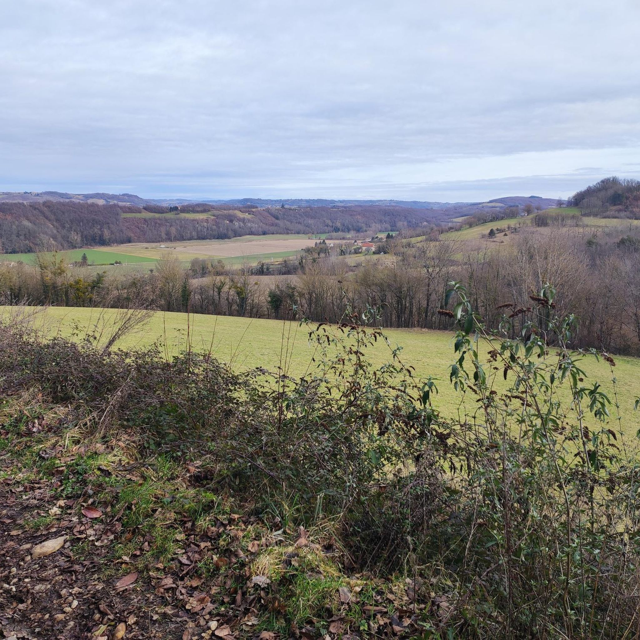
Padded mist on this February afternoon in the Cold Lands.
0
0
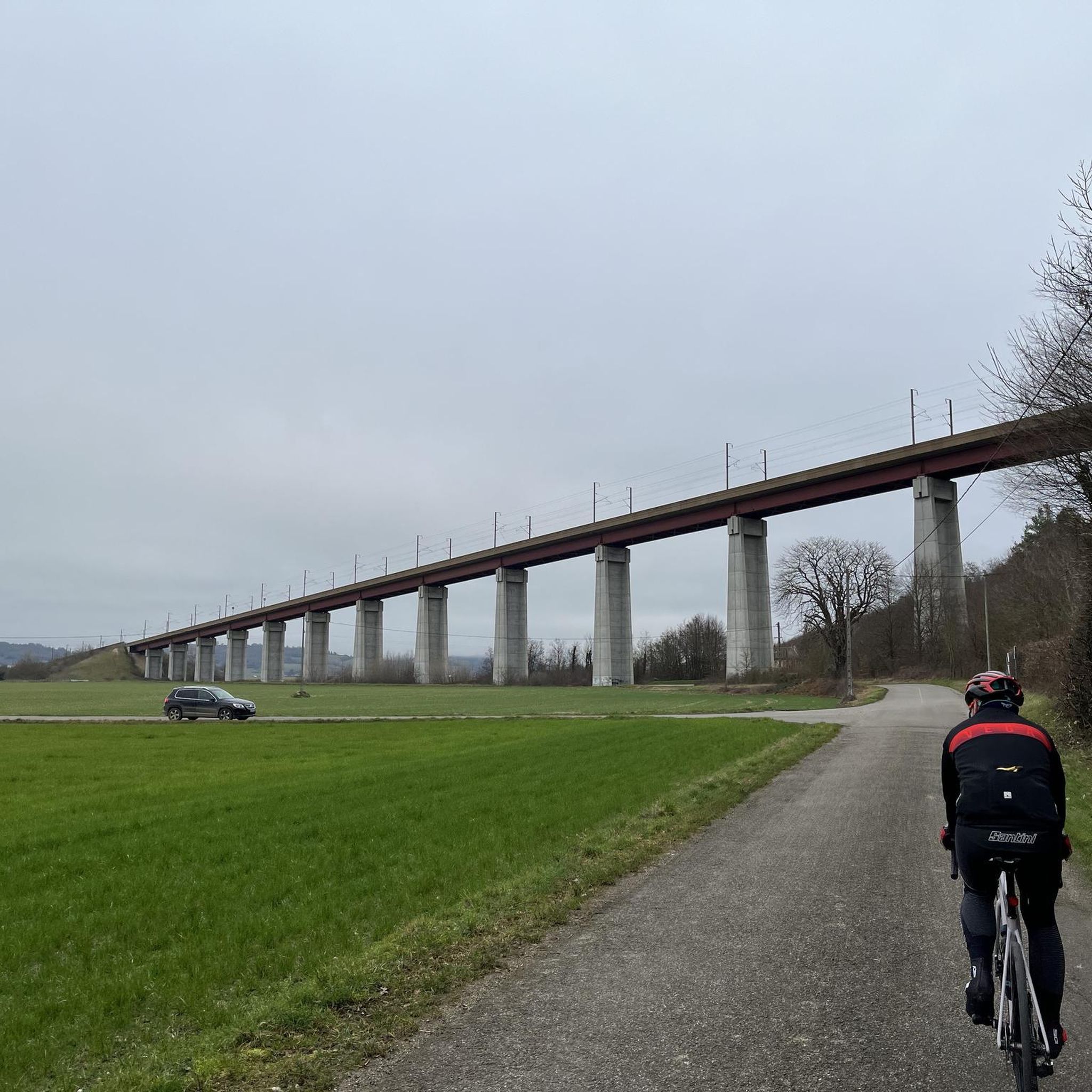
Road with good surface, little traffic.
0
0
View towards Artas from the Charantonnay road.
1
0

The forest as a setting for all these ponds.
1
0
Frequently Asked Questions
How many gravel bike trails are available directly around Meyssiès?
Komoot features three challenging gravel bike routes directly around Meyssiès. These routes offer a good starting point for exploring the diverse terrain of the Isère department.
What is the typical difficulty level of gravel biking routes near Meyssiès?
The gravel routes featured directly around Meyssiès are generally considered difficult. They involve significant elevation changes and cover distances ranging from 32 km to 56 km, making them suitable for experienced gravel bikers looking for a challenge.
Are there any circular gravel routes in the Meyssiès area?
Yes, all the gravel routes highlighted in this guide are circular loops. For example, you can explore the Bois Marquis Garden – Pond with Water Lilies loop from Chamboud D538, the Impressive Chestnut Tree – Viewpoint Bench loop from Charantonnay, or the Route de Beausoleil – Beautiful discovery loop from Charantonnay.
What kind of natural landscapes can I expect to see while gravel biking near Meyssiès?
Gravel biking near Meyssiès offers a varied natural landscape. You'll encounter riparian environments along the Gère River and its tributaries, as well as wooded areas within the Bonnevaux forest. The wider Isère region is known for its diverse topography, including valleys, forests, and foothills of mountain ranges, providing a rich and scenic backdrop for your rides.
Are there any historical or natural points of interest along the gravel trails in Meyssiès?
While riding near Meyssiès, you can discover several interesting points. Notable attractions in the vicinity include the historic Revel washhouse, the serene La Salette Chapel, and the picturesque Étang du Marais (pond). Further afield, you might also find the Bonnevaux Castle or the grand Château de Septème.
What is the best time of year for gravel biking in Meyssiès?
The rural setting of Meyssiès and the diverse landscapes of the Isère department make it suitable for gravel biking across multiple seasons. Spring and autumn generally offer pleasant temperatures and vibrant scenery, while summer can be enjoyable, especially in wooded areas. It's always advisable to check local weather conditions before heading out.
Is Meyssiès a good base for exploring more extensive gravel biking in the Isère region?
Yes, Meyssiès serves as an excellent base. Its location within the Isère department, which boasts a well-developed network of gravel routes and diverse terrain, means you have access to a wide array of cycling opportunities. The region is known for varied routes between mountains and valleys, including major cycle routes like La Belle Via along the Isère River valley.
Are there any amenities like cafes or restaurants along the gravel routes near Meyssiès?
The immediate area around Meyssiès is characterized by dispersed habitation, meaning amenities might be spread out. It's recommended to plan your route and carry sufficient water and snacks. You'll find more options for cafes and restaurants in the larger villages or towns within the Isère department.
Can I find parking easily for gravel biking in Meyssiès?
Given the rural nature of Meyssiès and its surrounding communes like Charantonnay and Chamboud, you can typically find parking in village centers or designated areas. Always ensure you park responsibly and respect local regulations.
What kind of terrain can I expect on the gravel trails around Meyssiès?
The gravel trails around Meyssiès traverse a mix of surfaces typical for gravel biking. You can expect quiet country roads, forest tracks, and paths. The varied topography of the Isère region means you'll encounter everything from gentle riverside sections to more challenging climbs through wooded areas and into the foothills.
Are the gravel routes around Meyssiès suitable for families or beginners?
The routes currently featured directly around Meyssiès are rated as difficult due to their length and elevation gain, making them more suitable for experienced gravel bikers. For families or beginners, it might be better to explore easier, shorter sections of paths or look for dedicated family-friendly cycle routes within the broader Isère department.
Most popular attractions around Meyssiès

Get inspired with the komoot mobile app


Explore more
Browse the best Gravel rides in other regions.
