The best walks and hikes around Michelhausen
4.5
(1014)
5,974
hikers
40
hikes
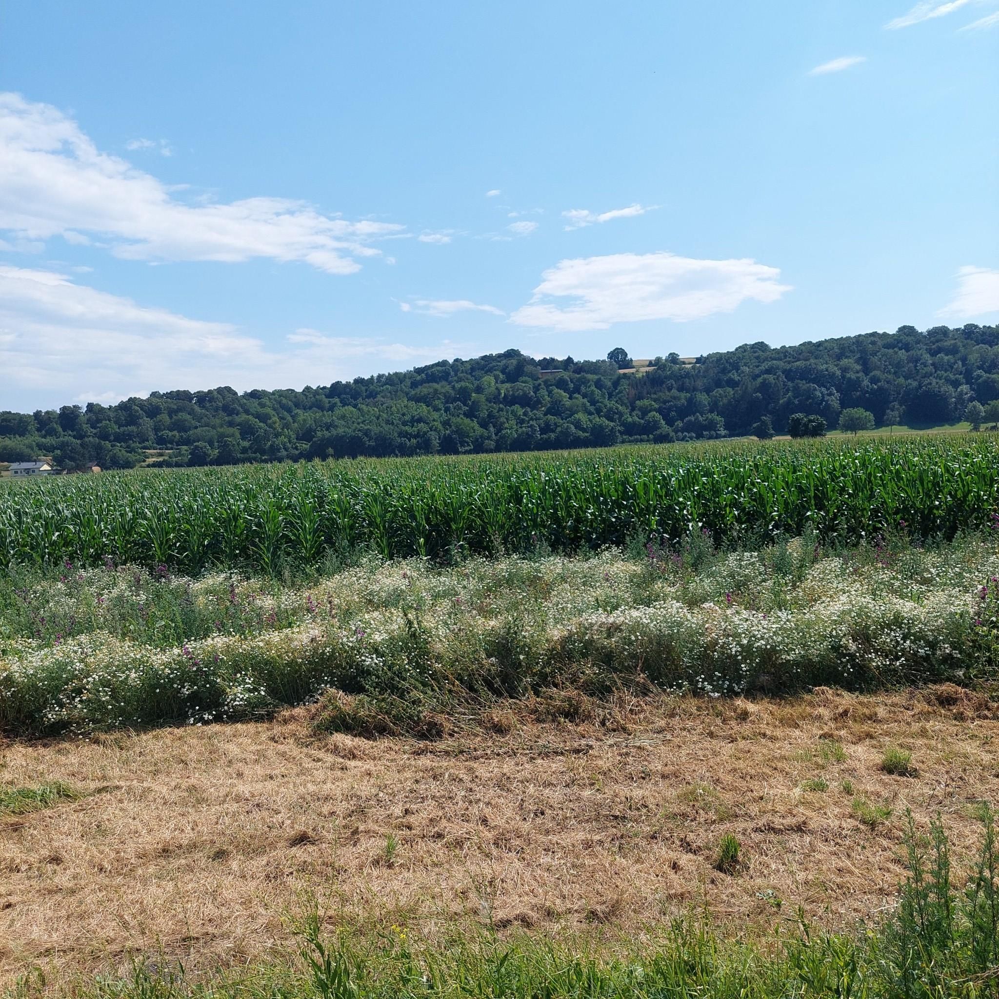
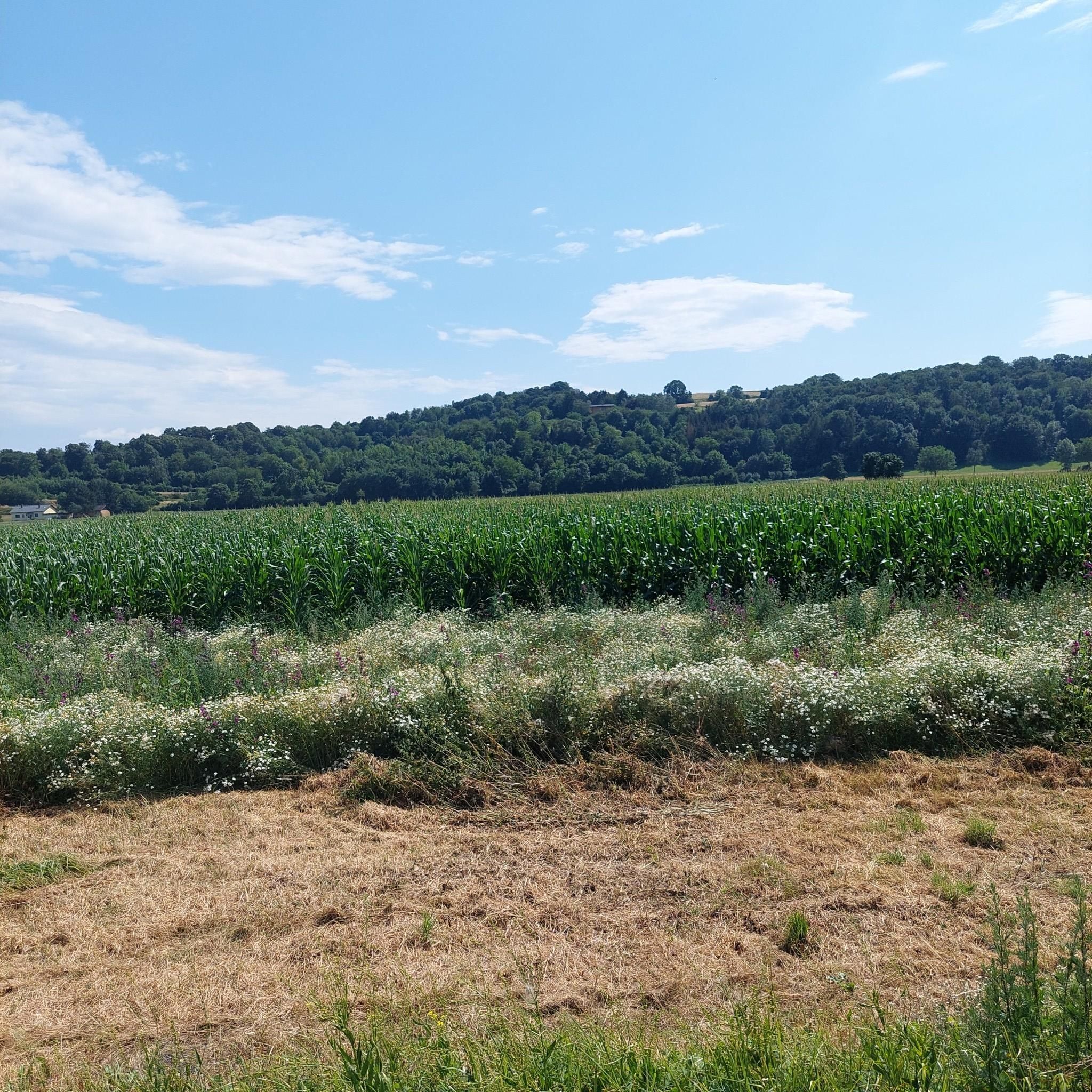
Hiking around Michelhausen, Austria, offers diverse natural features at the southern edge of the Tullnerfeld. The region is characterized by picturesque landscapes, including open fields and forested areas, providing varied terrain for outdoor activities. Trails often feature gentle elevations and lush greenery, making the area accessible for different hiking abilities.
Best hiking trails around Michelhausen
- The most popular hiking route is Pink wildflower in Austria – Mitterberg loop from Michelhausen, a 3.7 miles (6.0 km) trail that takes 1…
Last updated: July 1, 2026
5.0
(2)
14
hikers
6.02km
01:38
90m
90m
Easy hike. Great for any fitness level. Easily-accessible paths. Suitable for all skill levels.
15
hikers
Easy hike. Great for any fitness level. Easily-accessible paths. Suitable for all skill levels.

Sign up for free
5.0
(3)
6
hikers
Moderate hike. Good fitness required. Easily-accessible paths. Suitable for all skill levels.
13
hikers
Easy hike. Great for any fitness level. Easily-accessible paths. Suitable for all skill levels.
13
hikers
3.71km
00:57
10m
10m
Easy hike. Great for any fitness level. Easily-accessible paths. Suitable for all skill levels.
Get access to more routes and recommendations from other explorers.
Sign up for free
Already have an account?
Our route recommendations are based on thousands of hikes, rides, and runs completed by other people on komoot.
Start today with a free account
Your next adventure awaits.
Login or Signup
Tips from the Community

Wilhelm-Kisser-Jubiläumswarte The 15-meter-high wooden tower rewarded with a wonderful panoramic view over the Tullnerfeld and the Wienerwald. The ascent and the short walk to the tower were definitely worth it. I especially enjoyed the beautiful, well-maintained hiking trail that leads to the tower and invites you for a leisurely stroll.
1
0

A contemplative memorial site right next to the Great Tullnerfeld Circular Trail 475
0
0
This beautiful hidden chapel in the countryside should not be missed. Not only is it a beautiful chapel, but if you follow the paths, you'll have a great panoramic view all around.
2
0
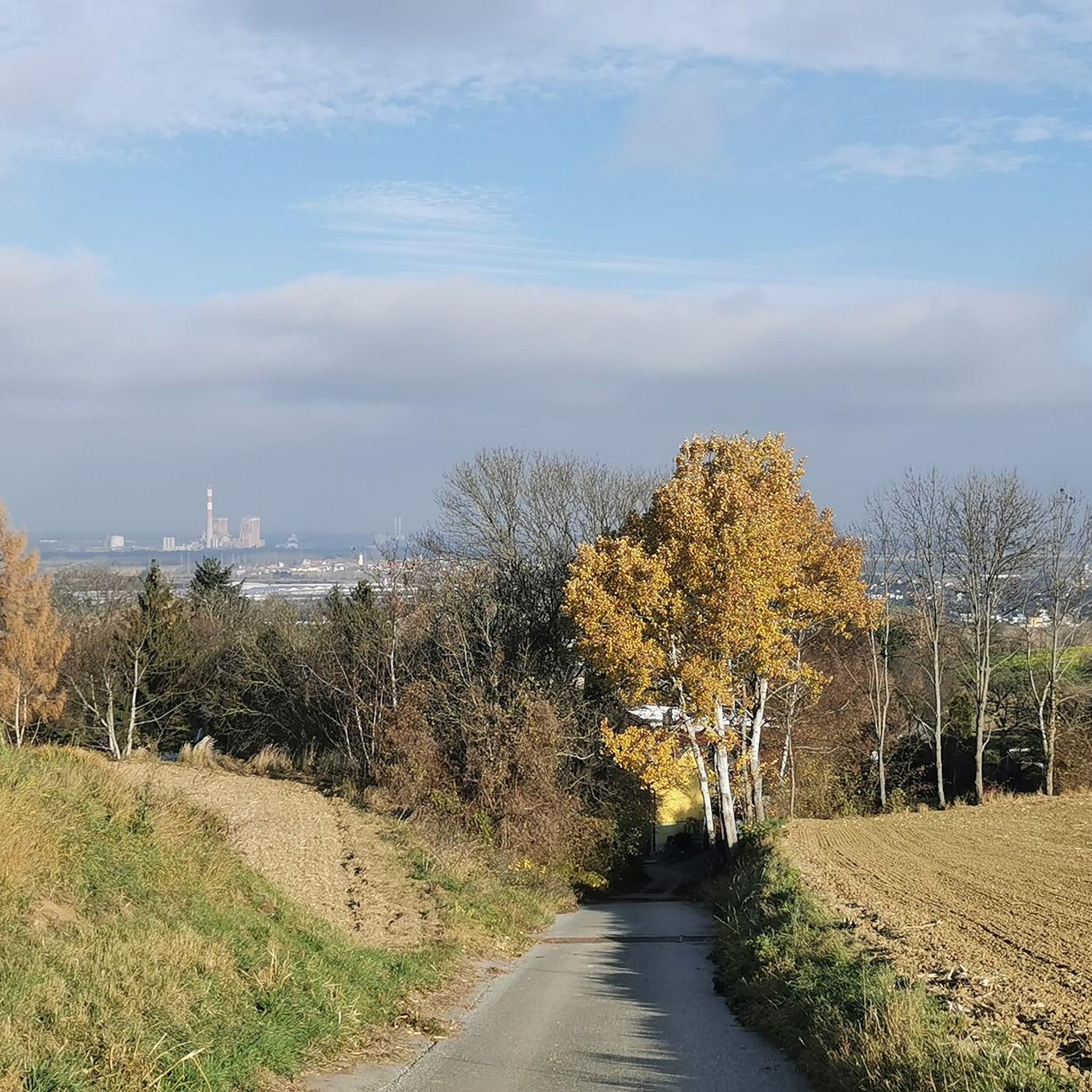
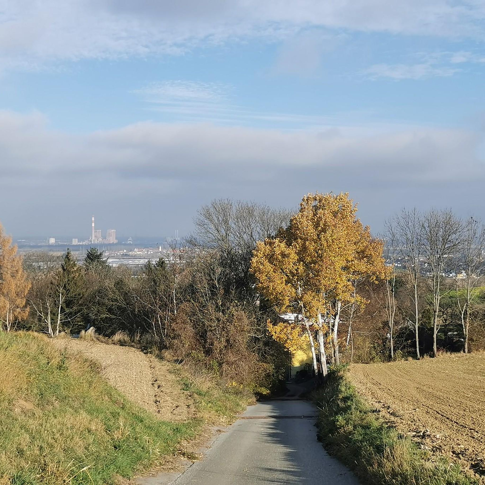
From up there you have a beautiful view over the whole area, especially the Wienerwald. On beautiful days, you can see all the way to the Alps.
4
0

Conveniently located, reachable from Vienna in 20 minutes by train. It's the starting or ending point for many tours.
1
1
A place to reflect and rest
1
0
Another beautiful small monument next to the Way of St. James section Purkersdorf-Göttweig.
2
0
Here, right next to the Purkersdorf-Göttweig section of the Way of St. James, the Moosbach flows into the Große Tulln.
2
0
Frequently Asked Questions
What is the best time of year to go hiking in Michelhausen?
The most favorable seasons for hiking in Michelhausen are spring and autumn. During these times, the weather is ideal for exploring the region's natural beauty, with comfortable temperatures and vibrant landscapes.
Are there hiking trails suitable for families with children?
Yes, Michelhausen offers several family-friendly options. The region research specifically recommends the "Waldgeist" nature trail, a circular path through an enchanting forest that provides educational insights into local flora and fauna. Additionally, many of the easy-grade routes are suitable for families.
What kind of landscapes can I expect to see while hiking around Michelhausen?
Hiking around Michelhausen offers diverse natural features at the southern edge of the Tullnerfeld. You can expect picturesque landscapes, including open fields, lush greenery, and forested areas. Trails often feature gentle elevations, providing varied terrain and scenic views.
Are there any circular hiking routes in Michelhausen?
Yes, many of the trails in Michelhausen are circular. For example, the Tullnerfeld Railway Station – Playground loop from Katastralgemeinde Pixendorf is an easy circular path, and the Bildeiche Shrine – Wilhelm Kisser Anniversary Tower loop from Michelhausen offers a moderate circular experience through varied terrain.
What historical landmarks or points of interest can I find along the hiking trails?
Michelhausen's landscape is rich with historical and natural features. You might encounter Michelhausen Castle, a 17th-century baroque castle, historical monuments like the 16th and 17th-century rectory, and village chapels. The Bildeiche Shrine – Wilhelm Kisser Anniversary Tower loop from Michelhausen specifically passes by historical landmarks.
How many hiking trails are available around Michelhausen?
Michelhausen offers a wide range of hiking opportunities with over 40 trails. These include options for various fitness levels, from easy walks to more challenging routes, ensuring there's something for everyone.
What do other hikers say about the trails in Michelhausen?
The routes in Michelhausen are highly rated by the komoot community, with an average score of 4.5 stars from over 680 reviews. Hikers often praise the picturesque landscapes, diverse natural features, and the accessibility of trails for different ability levels.
Are there easy hiking options for beginners or those looking for a relaxed walk?
Absolutely. Michelhausen has many easy trails, with 29 out of 40 routes classified as easy. A good example is the Playground loop from Katastralgemeinde Pixendorf, which is a short and gentle walk, perfect for a relaxed outing.
Are dogs allowed on the hiking trails in Michelhausen?
While specific regulations for each trail may vary, generally, dogs are welcome on hiking trails in the Michelhausen region, especially on paths through natural areas. It's always recommended to keep dogs on a leash and clean up after them to ensure a pleasant experience for all hikers and to protect local wildlife.
Are there any viewpoints or scenic spots along the hikes?
Yes, the region offers several scenic spots. The Picture Tree in Wilder Graben – Hunters' Memorial loop from Katastralgemeinde Pixendorf provides views across the Tullnerfeld. Additionally, the nearby Tulln Danube River Promenade offers beautiful riverside views.
What are the options for public transport access to hiking trails in Michelhausen?
Michelhausen is accessible, and some routes, like the Tullnerfeld Railway Station – Playground loop from Katastralgemeinde Pixendorf, start near public transport hubs, making them convenient for those arriving by train or bus. It's advisable to check local public transport schedules for specific starting points.
Are there any longer or more challenging hikes for experienced hikers?
Yes, while many trails are easy, Michelhausen also offers more demanding routes. There are 10 moderate and 1 difficult trail available. The Bildeiche Shrine – Wilhelm Kisser Anniversary Tower loop from Michelhausen, for instance, is a moderate 7.1-mile trail that takes around 3 hours to complete, offering a more extensive hiking experience.
Most popular routes around Michelhausen
Most popular attractions around Michelhausen

Get inspired with the komoot mobile app


Explore more
Browse the best Hikes in other regions.
