The best traffic-free bike rides around Montefalcone Di Val Fortore
5.0
(7)
104
riders
5
rides
No traffic road cycling routes around Montefalcone Di Val Fortore traverse a landscape characterized by varied terrain, including mountainous areas, hills, and valleys. The region features extensive pine and oak forests, along with olive groves, vineyards, and orchards. Cyclists can experience both challenging ascents and scenic descents, often with panoramic views extending across the Tavoliere delle Puglie and surrounding mountain ranges. The Fortore River valley also contributes to diverse cycling backdrops with its irregular profiles and wooded slopes.
Best no…
Last updated: November 1, 2026
4
riders
Hard road ride. Very good fitness required. Some segments of this route may be unpaved and difficult to ride.
2
riders
31.3km
02:14
590m
590m
Moderate road ride. Good fitness required. Some segments of this route may be unpaved and difficult to ride.

4
riders
54.9km
02:48
940m
940m
Hard road ride. Very good fitness required. Mostly well-paved surfaces and easy to ride.
2
riders
51.8km
02:52
1,090m
1,080m
Hard road ride. Very good fitness required. Mostly well-paved surfaces and easy to ride.
5.0
(1)
1
riders
Moderate road ride. Good fitness required. Mostly well-paved surfaces and easy to ride.
Our route recommendations are based on thousands of hikes, rides, and runs completed by other people on komoot.
Start today with a free account
Your next adventure awaits.
Popular around Montefalcone Di Val Fortore
Tips from the Community

Montefalcone is the highest municipality in the province of Benevento: 830 meters, with the territory reaching 981, and on clear days you can see the mountains of Abruzzo and Basilicata. The old center is perched around the ruins of the castle, which hosted Alfonso of Aragon in 1439. Then the earthquakes took their toll, the one in 1456 and the one in 1962, and today the town is divided into two distinct parts: the old one on the hill, the new one lower down. Administrative curiosity: until 1861 Montefalcone was in the province of Foggia, and the addition “di Val Fortore” only arrived in 1863, so as not to confuse it with the other Montefalcone towns in Italy. The Fortore river rises right here, in the Trivolicchio area, and after about a hundred kilometers it ends in the Adriatic. On the surrounding ridges you can see wind turbines: the park dates back to 1995-96, one of the first in Italy. Worth seeing is the Museo della Civiltà Contadina (Museum of Peasant Civilization), with about three thousand objects distributed in thirteen rooms.
0
0

From this point, you can enjoy a good view of the Miscano Valley. There are also benches where you can rest.
3
0
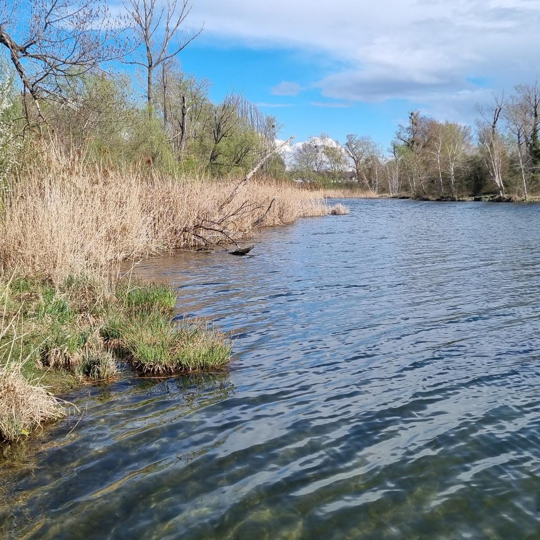
It's not swimmable!
3
0

Excellent view from Buonalbergo on the territory of the province of Avellino. Useful for resting a few minutes along the SS90 delle Puglie in any direction you go
0
0

San Bartolomeo in Galdo is an Italian town in the province of Benevento, located in Campania, near the border with Puglia and Molise. It has ancient origins, dating back to the Roman and medieval periods, and has numerous historic buildings and churches, including the Church of San Bartolomeo Apostolo. The town is located in the hilly area of Val Fortore, surrounded by an agricultural landscape. Among the local traditions, there are religious celebrations and cultural events that involve the community.
0
0

The Faeto forest is a natural forest of great ecological value, where Turkey oaks, beeches and maples grow. The road that crosses it through the trees is very suggestive and you can also take a walk among the greenery and silence, following the equipped paths.
0
0
Lake San Giorgio, also known as Lake Mignatta, is a semi-artificial basin in the municipality of San Giorgio la Molara. It is about 850 meters above sea level and there are several picnic areas where you can stop for a break.
1
0
Montefalcone di Val Fortore is a town in the province of Benevento, near the border between Campania and Puglia. The Fortore river is born in the municipal area and is the highest municipality in the province with the historic village located more than 800 meters above sea level.
2
0
Frequently Asked Questions
How many no traffic road cycling routes are available around Montefalcone Di Val Fortore?
There are currently three dedicated no traffic road cycling routes available around Montefalcone Di Val Fortore, offering a range of distances and elevations for different skill levels.
What is the best time of year for no traffic road cycling in Montefalcone Di Val Fortore?
The region's elevated position and diverse landscapes make it enjoyable across multiple seasons. Spring and autumn offer pleasant temperatures and vibrant scenery with olive groves, vineyards, and orchards. Summer can be warm, but the higher altitudes and forested areas provide some respite. Always check the local weather forecast before heading out.
Are there any easy no traffic road bike routes for beginners or families?
The routes currently listed are primarily moderate to difficult, featuring significant elevation changes. For example, the Lake San Giorgio – Norman Tower of Casalbore loop from Montefalcone di Val Fortore is rated moderate, covering 38.5 km with over 760 meters of ascent. While not explicitly 'easy', its moderate rating might be suitable for more experienced families or beginners looking for a challenge.
What kind of terrain can I expect on these no traffic road cycling routes?
You can expect varied terrain, typical of the Fortore valley. Routes feature a blend of mountainous areas, hills, and valleys, providing a dynamic experience with both ascents and descents. The landscape is characterized by asphalt roads winding through olive groves, vineyards, orchards, and extensive pine and oak forests, offering scenic views throughout your ride.
What are some scenic viewpoints or attractions along the no traffic road cycling routes?
The region is rich in panoramic views. You might encounter breathtaking vistas of the Tavoliere delle Puglie, the Gargano promontory, and the Abruzzo, Lucanian, and Daunia mountains. Notable viewpoints include the Giant Bench with View of Tavoliere delle Puglie and the Gazebo with a View of the Daunia Mountains. The routes also pass by natural features like Lago Pescara.
Are there any circular no traffic road cycling routes?
Yes, all the no traffic road cycling routes listed are designed as loops. For instance, you can enjoy the challenging Lago di Decorata – San Bartolomeo in Galdo loop from San Bartolomeo in Galdo, which covers over 55 km, or the slightly shorter Lake San Giorgio – Norman Tower of Casalbore loop from Montefalcone di Val Fortore.
Where can I find parking for my bike when starting a route?
While specific parking areas for cyclists are not detailed for every starting point, Montefalcone di Val Fortore and surrounding towns typically offer public parking options. When planning your ride, consider starting points within or near these towns, such as Montefalcone di Val Fortore itself or San Bartolomeo in Galdo, where you are more likely to find suitable parking.
What do other road cyclists say about the no traffic routes in Montefalcone Di Val Fortore?
The komoot community highly rates the cycling experience in this area, with an average score of 5.0 stars based on 7 ratings. Reviewers often praise the peacefulness of the routes, the stunning panoramic views, and the challenging yet rewarding climbs through the varied landscapes.
Are there any long-distance no traffic road bike routes in the area?
The routes provided offer substantial distances, with the longest being the Lago di Decorata – San Bartolomeo in Galdo loop from San Bartolomeo in Galdo at over 55 km. The region also features the 90 km FortorE-Bike itinerary, which includes sections suitable for road cycling, offering a full immersion into the Fortore valley's beauty.
Can I find cafes or restaurants along these routes for a break?
The routes often pass through or near small towns and villages in the Fortore valley, such as Montefalcone di Val Fortore itself or San Bartolomeo in Galdo. These locations typically offer local cafes and restaurants where you can stop for refreshments and a meal. It's advisable to check opening hours, especially in smaller villages, before you set out.
What is the difficulty level of the no traffic road cycling routes?
The no traffic road cycling routes around Montefalcone Di Val Fortore are generally considered moderate to difficult. For example, the Norman Tower of Casalbore – Lake San Giorgio loop from Ginestra degli Schiavoni and the Lago di Decorata – San Bartolomeo in Galdo loop from San Bartolomeo in Galdo are both rated difficult, featuring significant elevation gains. The Lake San Giorgio – Norman Tower of Casalbore loop from Montefalcone di Val Fortore is rated moderate.
Most popular attractions around Montefalcone Di Val Fortore

Get inspired with the komoot mobile app


Explore more
Browse the best Road cycling routes in other regions.
