The best hikes from bus stations around gmina Czarny Bór
4.7
(790)
12,419
hikers
227
hikes
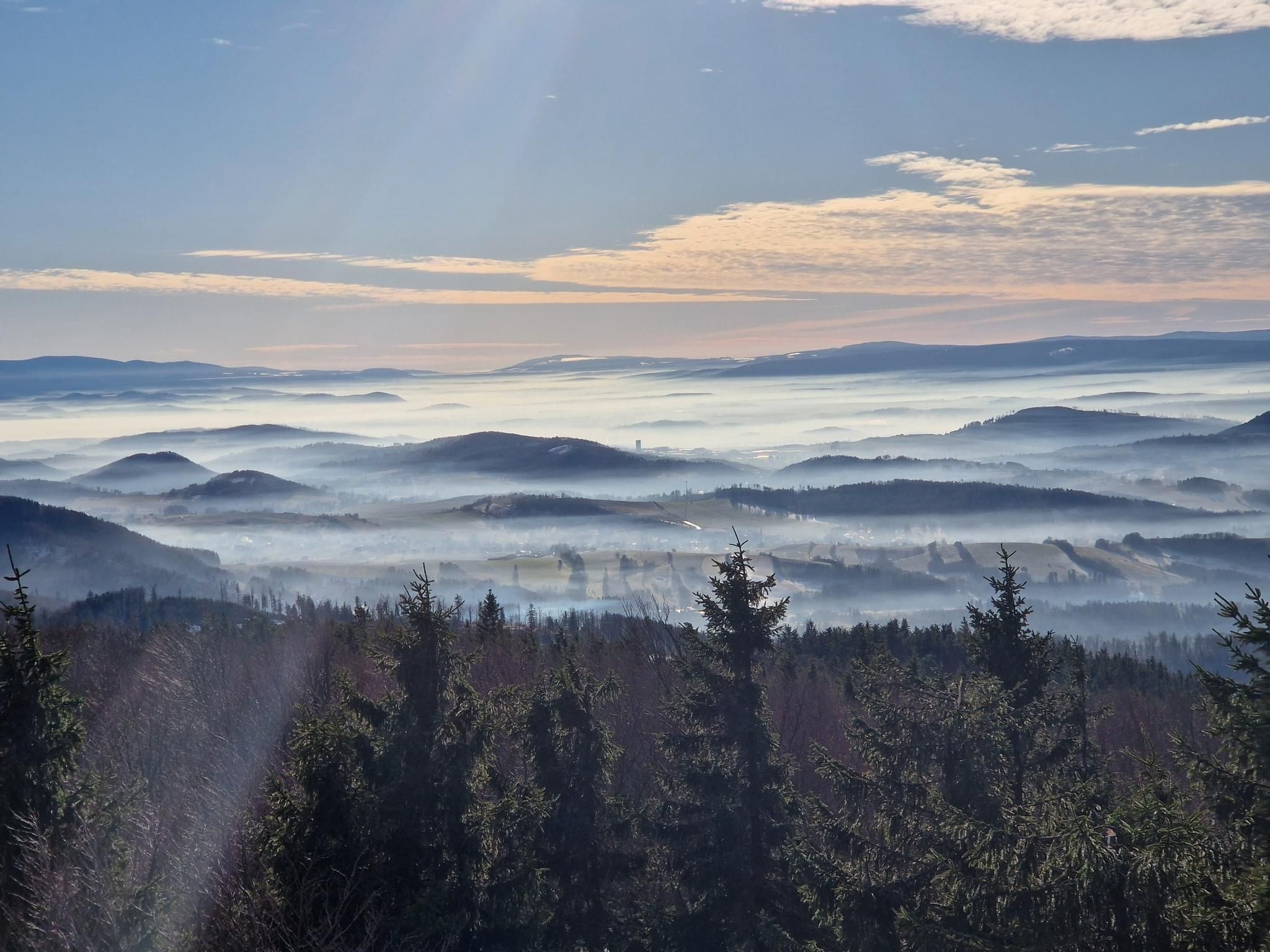
Bus station hiking trails around gmina Czarny Bór offer access to the diverse landscapes of the Central Sudetes, encompassing parts of the Wałbrzyskie and Kamienne Mountains. The region is characterized by its hilly and mountainous terrain, with significant peaks like Waligóra (936 m) and Borowa (854 m). Over 70% of the area is covered by extensive forests, providing a lush environment for outdoor activities. Natural features include unique geological formations and the Czyżynka Valley.
Best bus station hiking trails around…
Last updated: July 10, 2026
6
hikers
Hard hike. Very good fitness required. Easily-accessible paths. Suitable for all skill levels.
5.0
(1)
8
hikers
9.35km
02:31
120m
120m
Moderate hike. Good fitness required. Easily-accessible paths. Suitable for all skill levels.
3.0
(1)
1
hikers
11.1km
03:08
220m
220m
Moderate hike. Good fitness required. Easily-accessible paths. Suitable for all skill levels.
Get access to more routes and recommendations from other explorers.
Sign up for free
Already have an account?
Our route recommendations are based on thousands of hikes, rides, and runs completed by other people on komoot.
Start today with a free account
Your next adventure awaits.
Login or Signup
Popular around gmina Czarny Bór
Other adventures around gmina Czarny Bór

Tips from the Community


Interesting structure, several viewing terraces. There is a shelter and a place for a bonfire under the tower.
0
0

One of the few good rest areas on the EB.
13
0

Great views from the new 2018 tower.
1
0

On the viewing platform, sausages and other delicacies can also be grilled around the campfire.
1
0
Frequently Asked Questions
How many bus station hiking trails are available in gmina Czarny Bór?
There are over 200 hiking routes in gmina Czarny Bór that are accessible from bus stations, offering a wide variety of options for all skill levels.
What kind of terrain can I expect on bus-accessible hikes in gmina Czarny Bór?
The terrain in gmina Czarny Bór is predominantly mountainous and heavily forested, as it lies within the Central Sudetes, encompassing parts of the Wałbrzyskie and Kamienne Mountains. You can expect varied elevations, lush forests, and sometimes unique geological formations.
Are there easy bus-accessible hikes suitable for beginners in gmina Czarny Bór?
Yes, gmina Czarny Bór offers many easy bus-accessible hikes perfect for beginners. For example, the Spring – Rest area at the ski stadium loop from gmina Czarny Bór is a moderate 9.3 km route with gentle elevation changes, making it a good starting point.
Can I find more challenging bus-accessible hikes in gmina Czarny Bór?
Absolutely. For those seeking a challenge, routes like the Trójgarb Observation Tower – Rest area at the ski stadium loop from gmina Czarny Bór offer a demanding 20.2 km journey with significant elevation gain, rewarding you with expansive views.
Are there any circular hiking routes accessible from bus stops in gmina Czarny Bór?
Yes, many of the bus-accessible trails in gmina Czarny Bór are circular, allowing you to start and end your hike at the same point. An example is the Chapel loop from gmina Czarny Bór, a moderate 10.1 km route.
What natural features or landmarks can I see on bus-accessible hikes in gmina Czarny Bór?
The region is rich in natural beauty and interesting landmarks. You might encounter the unique purple lake, a remnant of former mines, or explore the diverse scenery of the Czyżynka Valley. For specific points of interest, consider visiting the Yellow Lake and Cave (Żółte Jeziorko) or the Arado Project Underground Museum.
Are there any observation towers accessible from bus stops for panoramic views?
Yes, gmina Czarny Bór is known for its viewing towers that offer stunning panoramic vistas. You can plan a hike to the Trójgarb Observation Tower or the Borowa Observation Tower, both of which are often incorporated into bus-accessible routes.
Are the bus station hiking trails in gmina Czarny Bór suitable for families with children?
Many of the easier and moderate bus-accessible trails are suitable for families. The extensive network includes shorter loops and paths with less elevation, making them enjoyable for children. Always check the route details for distance and elevation to match your family's capabilities.
Can I bring my dog on the bus-accessible hiking trails in gmina Czarny Bór?
Generally, dogs are welcome on hiking trails in gmina Czarny Bór. The region's vast forests and varied terrain provide a great environment for walks with your canine companion. However, always keep your dog on a leash, especially in protected areas or near wildlife, and be mindful of local regulations.
What do other hikers say about the trails in gmina Czarny Bór?
The hiking trails in gmina Czarny Bór are highly rated by the komoot community, with an average score of 4.76 stars. Reviewers often praise the quiet, extensive forests, the well-maintained paths, and the rewarding panoramic views from the various peaks and observation towers.
Are there any mountain huts or places to eat along the bus-accessible routes?
Yes, for longer treks, you can find facilities like mountain huts that provide accommodation and warm meals, making your hiking experience more comfortable. These are typically located near popular peaks or along major routes like sections of the Main Sudeten Route.
What is the best time of year to hike in gmina Czarny Bór?
Gmina Czarny Bór offers beautiful hiking experiences throughout the year. Spring brings lush greenery, summer is ideal for longer days, and autumn showcases stunning fall foliage. Even winter can be magical for snowshoeing or winter hiking, though some trails may require more appropriate gear and caution due to snow and ice.
Most popular routes around gmina Czarny Bór
Most popular attractions around gmina Czarny Bór

Get inspired with the komoot mobile app


Explore more
Browse the best Hikes in other regions.
