The best hikes from bus stations around Polanica-Zdrój
4.7
(598)
8,762
hikers
44
hikes
Bus station hiking trails around Polanica-Zdrój offer access to diverse landscapes within the Bystrzyca Dusznicka valley, situated between the Table Mountains and the Bystrzyckie Mountains. The region features extensive forests, river valleys, and unique rock formations. Hikers can explore areas like the Hell Valley, characterized by its river, cliffs, and ancient pine forests, or ascend hills such as Wolarz and Kamienna Góra. The terrain varies from gentle paths along the Bystrzyca Dusznicka River to more challenging ascents with panoramic views.
…Last updated: June 26, 2026
5.0
(23)
159
hikers
12.7km
03:37
280m
280m
Moderate hike. Good fitness required. Easily-accessible paths. Suitable for all skill levels.
4.6
(23)
83
hikers
16.4km
04:56
510m
510m
Moderate hike. Good fitness required. Easily-accessible paths. Suitable for all skill levels.

Sign up for free
4.5
(6)
24
hikers
Moderate hike. Good fitness required. Easily-accessible paths. Suitable for all skill levels.
5.0
(3)
21
hikers
Moderate hike. Good fitness required. Easily-accessible paths. Suitable for all skill levels.
88
hikers
Easy hike. Great for any fitness level. Easily-accessible paths. Suitable for all skill levels.
Get access to more routes and recommendations from other explorers.
Sign up for free
Already have an account?
Our route recommendations are based on thousands of hikes, rides, and runs completed by other people on komoot.
Start today with a free account
Your next adventure awaits.
Login or Signup
Popular around Polanica-Zdrój
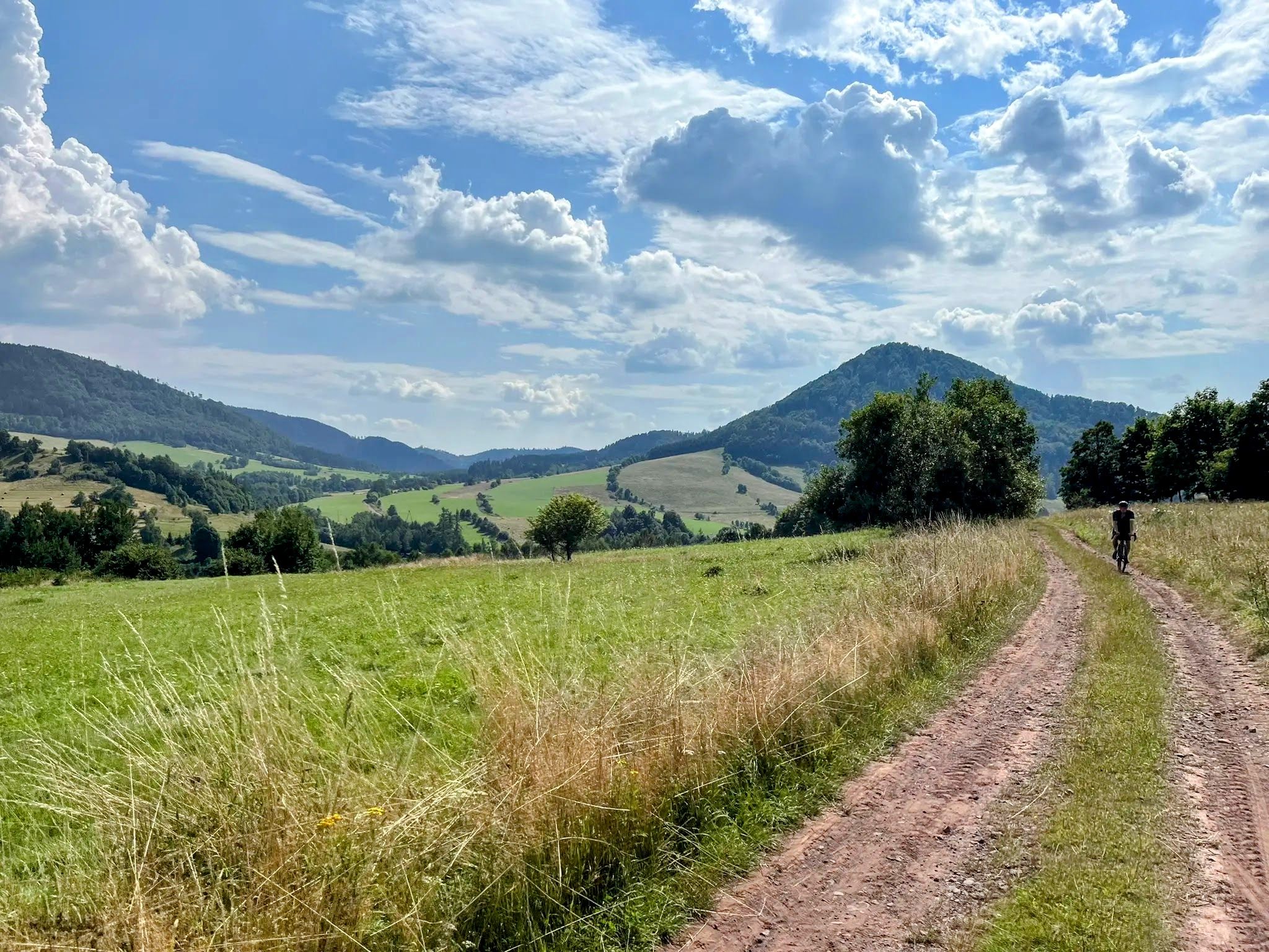
Other adventures around Polanica-Zdrój

Tips from the Community

We go wherever our legs carry us
1
0

the green trail along Wojska Polskiego Street
0
0

Very nice photo motif
1
0
Very nice small pedestrian bridge
2
0

The Mineral Water Pump Room is located in the Spa Park, which is charming thanks to palm trees, exotic species of trees, an illuminated fountain and a promenade with numerous cafes.
3
0
Frequently Asked Questions
How many hiking trails are accessible directly from bus stations in Polanica-Zdrój?
There are over 30 hiking trails in Polanica-Zdrój that you can start directly from a bus station. These routes cater to various fitness levels, with 20 easy, 11 moderate, and 1 difficult option available.
Are there any easy, family-friendly hikes from the bus station?
Yes, Polanica-Zdrój offers several easy, family-friendly routes. A great option is the Chess Park in Polanica-Zdrój – Wooden Bridge loop, which is just over 5 km long and takes around 1.5 hours. Another gentle walk is the Bystrzyca Dusznicka River – Fountain in the Spa Park loop, a 4.4 km route perfect for a leisurely stroll.
What kind of natural features or landmarks can I expect to see on these bus-accessible trails?
The trails around Polanica-Zdrój offer diverse natural beauty. You can explore the unique rock formations of the Table Mountains, such as Białe Skały (White Rocks), or wander through the picturesque Hell Valley with its ancient pine forests and the Bystrzyca Dusznicka River. Many routes also pass through the charming Spa Park with its old trees and rhododendrons.
Are there any circular routes available from the bus station?
Yes, many of the trails accessible from Polanica-Zdrój's bus stations are circular, allowing you to return to your starting point without needing additional transport. For example, the Garncarz (455 m) – Bystrzyca Dusznicka River loop is a moderate 13 km circular hike offering varied scenery.
What do other hikers enjoy most about the trails around Polanica-Zdrój?
The hiking trails around Polanica-Zdrój are highly rated by the komoot community, with an average score of 4.7 stars from over 560 reviews. Hikers frequently praise the region's diverse landscapes, well-maintained paths, and the accessibility of trails directly from the town, making it easy to start an adventure right from the bus station.
Can I find trails that lead to viewpoints or panoramic vistas?
Absolutely. The region is known for its scenic viewpoints. The Czamenna Góra Summit (704 m) – Ruins of Fort Fryderyk loop offers excellent views, and the Wolarz Peak (850m) is another popular destination for panoramic vistas, accessible via various trails from the town.
Are there any trails that pass by historical sites or ruins?
Yes, you can combine hiking with a touch of history. The Czamenna Góra Summit (704 m) – Ruins of Fort Fryderyk loop is a moderate trail that takes you past the ruins of Fort Fryderyk, offering an interesting historical element to your hike.
What is the best time of year to hike in Polanica-Zdrój?
Polanica-Zdrój is beautiful throughout the year. Spring brings blooming rhododendrons in the Spa Park, summer offers lush green forests, and autumn transforms the landscape with vibrant colors. Even winter hiking is possible, with trails offering a serene, snow-covered experience, though some higher elevation routes might require appropriate gear.
Are there any trails that follow a river or have water features?
Many trails in Polanica-Zdrój feature the Bystrzyca Dusznicka River. The Piekielna Góra Heart Trail – Bystrzyca Dusznicka River loop is a moderate route that follows the river through the scenic Hell Valley, where the river flows amidst boulders, creating a picturesque setting.
Are there any mountain huts or places to rest along the trails?
While specific routes from the bus station might not pass directly by huts, the broader region of Polanica-Zdrój and the surrounding mountains do have mountain huts. These provide convenient resting and refueling points for trekkers on longer excursions. You can find more information on nearby huts like Masaryk Mountain Hut on Šerlich or Orlica Mountain Hut in Zieleniec.
What are the typical trail conditions and terrain like?
The trails around Polanica-Zdrój vary from well-maintained paths in the Spa Park to more natural forest trails in the Bystrzyckie and Table Mountains. You can expect a mix of gentle inclines, moderate ascents, and occasional rocky sections, especially in areas like the Table Mountains National Park. Most trails are well-marked, but sturdy hiking shoes are always recommended.
Most popular routes around Polanica-Zdrój
Most popular attractions around Polanica-Zdrój

Get inspired with the komoot mobile app


Explore more
Browse the best Hikes in other regions.
