The best hikes from bus stations around Mysłakowice
4.6
(8128)
73,456
hikers
50
hikes
Hiking around Mysłakowice offers access to diverse terrain at the foothills of the Rudawy Janowickie and Western Sudetes in Poland's Lower Silesian Voivodeship. The region is characterized by varied geological formations, ranging from gentle slopes to more challenging ascents, and provides scenic views of the Giant Mountains. Hikers can explore a network of trails that traverse woodlands, open landscapes, and lead to notable rock formations.
Best bus station hiking trails around Mysłakowice
- The most popular bus station hiking route is…
Last updated: October 27, 2026
4.7
(14)
105
hikers
8.83km
02:52
380m
380m
Moderate hike. Good fitness required. Easily walkable paths.
4.6
(19)
74
hikers
5.06km
01:17
20m
20m
Easy hike. Easily walkable paths.

4.5
(21)
69
hikers
Moderate hike. Good fitness required. Easily walkable paths.
4.8
(16)
97
hikers
Moderate hike. Good fitness required. Easily walkable paths.
4.8
(21)
96
hikers
14.6km
04:07
290m
290m
Moderate hike. Good fitness required. Easily walkable paths.
Get access to more routes and recommendations from other explorers.
Already have an account?
Our route recommendations are based on thousands of hikes, rides, and runs completed by other people on komoot.
Start today with a free account
Your next adventure awaits.

Tips from the Community

It was too dangerous for me to go to the summit cross with my dog, but it's doable up until just before that.
1
0
He looked a bit grim 😉 but we were in good spirits to meet him.
0
0


The path that runs directly along the riverbank for a stretch is more of a meadow. However, a long path runs parallel to the Bober River through the entire park. And for nice photos, you can still walk right down to the riverbank. There's also a riverside path on the other side of the river in Lomnitz Park.
1
0

The stairs are closed, danger to life.
0
0

Rudawy Janowickie by bike or on foot
0
0

Right under Góra Krzyżna there are benches and a place to rest, and this is where the remains of the old Sokolec Castle are hidden. It is not certain who built it, but most likely Henry the Bearded in the early 13th century. The name Sokolec comes from the birds that inhabited the local rocks - then, not now. The history of this stronghold was - as is often the case - turbulent, but in the 15th century it was already said that it was ruined. The history of the castle is fascinating: I recommend reading more here: https://www.zamkipolskie.com/sokol/sokol.html If you look closely at the rocks, you will see quite obvious remains of the old castle walls.
3
0
Frequently Asked Questions
How many hiking trails are accessible from bus stations around Mysłakowice?
There are over 30 hiking routes in the Mysłakowice area that are conveniently accessible from bus stations. These trails offer a range of difficulties, from easy strolls to more challenging ascents, catering to various fitness levels.
What kind of terrain can I expect on hikes around Mysłakowice?
The region around Mysłakowice, nestled at the foothills of the Rudawy Janowickie and Western Sudetes, offers diverse terrain. You can expect varied landscapes, from gentle slopes suitable for leisurely walks to more challenging ascents in the mountains. The geological formations provide a picturesque backdrop for your hikes.
Are there many easy hiking options from Mysłakowice bus stations?
Yes, for those seeking a more relaxed experience, there are 11 easy hiking routes available. An example is the Wojanów Palace – Lomnica Palace loop from Pałac w Łomnicy, which is a gentle 5 km walk perfect for a leisurely outing.
What natural landmarks can I discover on these bus station hikes?
The region boasts several notable natural features. Hikers can look forward to unique granite formations like the Mittagsstein (Sunflower) Rock Formation. The area also features tranquil spots such as Mały Staw (Little Pond) and various waterfalls and canyons, adding to the natural beauty.
Are there any historical or cultural attractions along the trails?
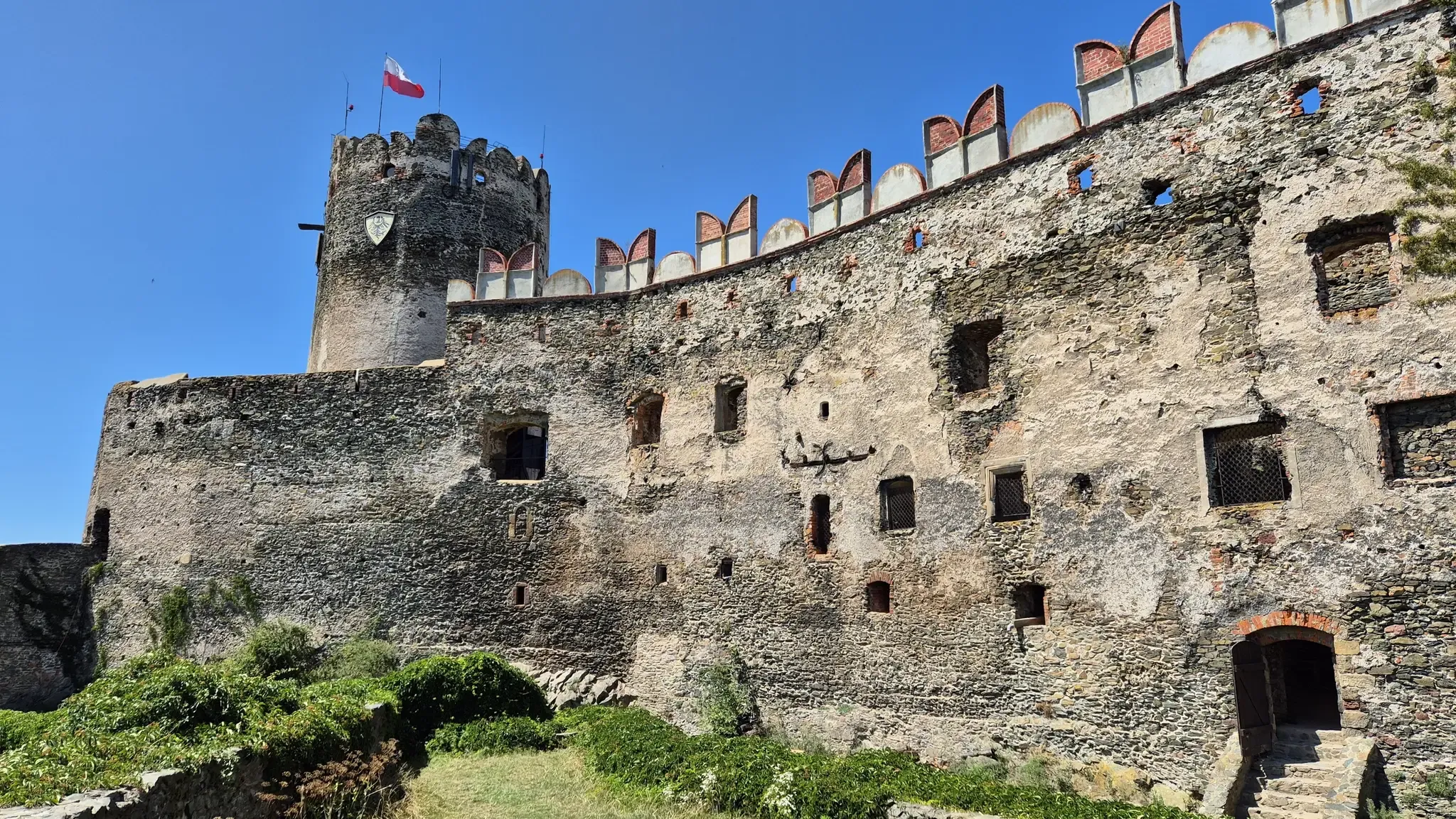
Yes, the Mysłakowice area is rich in history and culture. You can find several impressive palaces and castles. For instance, the Wojanów Palace and Lomnica Palace are often part of hiking routes. The Bolczów Castle Ruins also offer a fascinating historical point of interest.
Are there any circular routes available from bus stations?
Yes, many routes are designed as loops, allowing you to start and end at the same point, often conveniently near a bus station. An example is the Szwajcarka Mountain Hut – Great Sokolik (Forstberg) loop from Pałac Dębowy, offering a moderate 6.9 km circular hike.
What do other hikers enjoy the most about hiking in Mysłakowice?
The area is highly rated by the komoot community, with an average score of 4.6 stars. Reviewers often praise the diverse landscapes, the well-maintained trails, and the accessibility of routes from public transport hubs, making it easy to explore the natural beauty and historical sites.
Are there any challenging hikes accessible from bus stations?
For experienced hikers, there are 6 difficult routes available. A challenging option is the Starościńskie Rocks – Bolczów Castle Ruins loop from Pałac Dębowy, which covers nearly 17.5 km with significant elevation changes, offering a rewarding experience.
Can I combine hiking with visiting mountain huts?
Absolutely. The region features mountain huts that serve as excellent waypoints or resting spots on longer treks. The Great Sokolik (Forstberg) – Szwajcarka Mountain Hut loop from Pałac Wojanów is a moderate 11.4 km route that includes a visit to the Szwajcarka Mountain Hut.
What is the best time of year for hiking around Mysłakowice?
Mysłakowice is suitable for hiking for much of the year. Spring and autumn offer pleasant temperatures and beautiful scenery with blooming flowers or vibrant foliage. Summer is also popular, though trails can be busier. Winter hiking is possible, especially on lower elevation trails, but requires appropriate gear and caution due to snow and ice.
Are there any specific viewpoints or scenic overlooks on these trails?
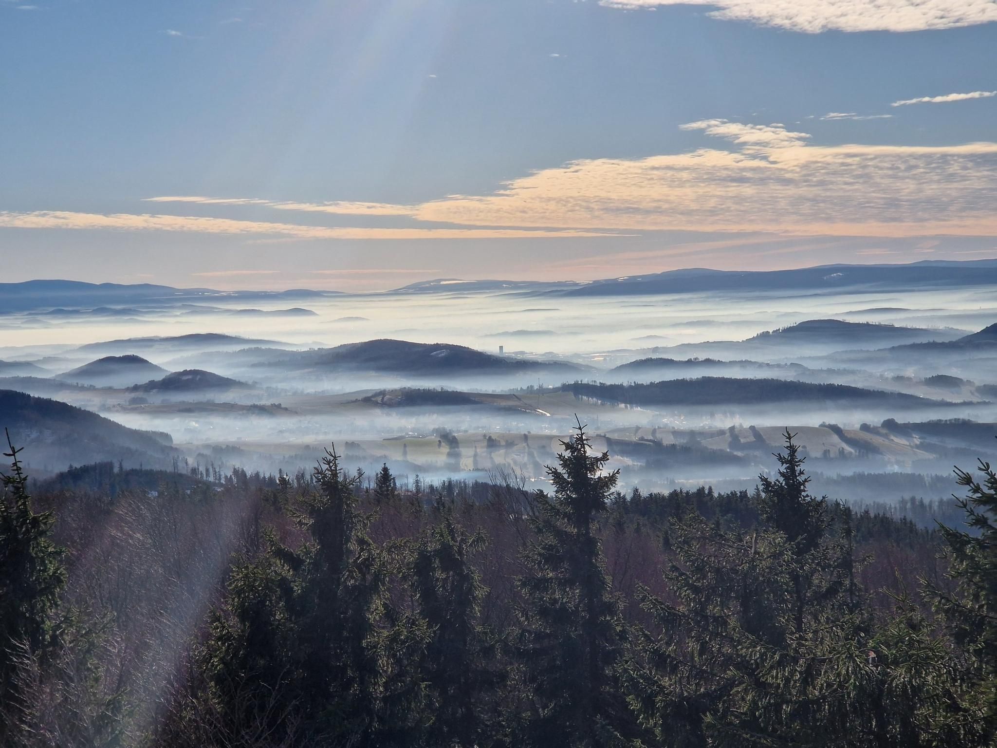
Many trails in the Rudawy Janowickie and Karkonosze foothills offer stunning panoramic views. Hikers can enjoy scenic vistas of the Giant Mountains (Karkonosze) and the picturesque Jelenia Góra Valley from various points along the routes, especially from higher elevations like Great Sokolik (Forstberg).
Most popular routes around Mysłakowice
Most popular attractions around Mysłakowice

Get inspired with the komoot mobile app


Explore more
Browse the best Hikes in other regions.
