The best hikes from bus stations around The Municipal District of Bray
4.6
(1852)
15,558
hikers
30
hikes
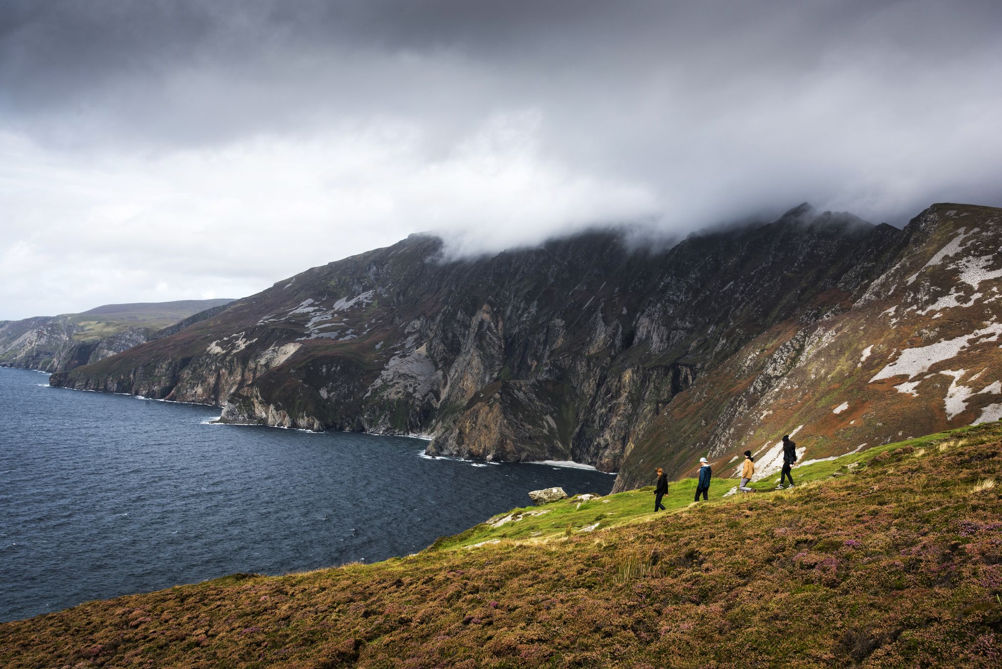
Hiking around The Municipal District of Bray offers a diverse landscape, characterized by dramatic coastal cliffs of Bray Head, expansive views of the Irish Sea, and access to the rugged Wicklow Mountains. The region features significant peaks like the Great Sugar Loaf and Djouce, along with lush woodlands and the Powerscourt Waterfall. This varied terrain provides a range of hiking experiences, from seaside strolls to mountain ascents.
Best bus station hiking trails around The Municipal District of Bray
- The most…
Last updated: July 8, 2026
4.8
(4)
70
hikers
5.42km
01:26
50m
50m
Easy hike. Great for any fitness level. Easily-accessible paths. Suitable for all skill levels.
4.3
(3)
15
hikers
Hard hike. Very good fitness required. Easily-accessible paths. Suitable for all skill levels.

Sign up for free
5.0
(3)
40
hikers
7.61km
02:05
120m
120m
Moderate hike. Good fitness required. Easily-accessible paths. Suitable for all skill levels.
4.2
(6)
120
hikers
4.69km
01:14
40m
40m
Easy hike. Great for any fitness level. Easily-accessible paths. Suitable for all skill levels.
4.5
(2)
19
hikers
Hard hike. Very good fitness required. Sure-footedness, sturdy shoes and alpine experience required.
Get access to more routes and recommendations from other explorers.
Sign up for free
Already have an account?
Our route recommendations are based on thousands of hikes, rides, and runs completed by other people on komoot.
Start today with a free account
Your next adventure awaits.
Login or Signup
Popular around The Municipal District of Bray




Tips from the Community

Very beautiful structure, which cannot be visited inside or there are only shops to see inside.
0
0
Very spacious, well-maintained grounds with different themed gardens.
0
0
Especially popular with children.
0
0
Nice facility, the Japanese tourists present also found it successful.
0
0
Lies a bit off the beaten path.
0
0

Another beautiful place in this garden.
1
0
The view from below across the lake to the house is beautiful.
1
0
Frequently Asked Questions
How many bus station hiking trails are available in The Municipal District of Bray?
There are over 30 hiking trails accessible directly from bus stations in The Municipal District of Bray. These routes cater to various fitness levels, with 18 easy, 7 moderate, and 6 difficult options.
Are there any easy, circular walks starting from a bus station in Bray?
Yes, for an easy, circular walk, consider the Descent into Bray – Bray Beach loop from Carlisle Grounds. This route is just over 5 km and offers pleasant views of Bray Beach. Another easy option is the Bray Promenade – Descent into Bray loop from Carlisle Grounds, which is slightly shorter at just under 5 km.
What kind of natural features can I expect to see on bus-accessible hikes in The Municipal District of Bray?
The Municipal District of Bray offers a remarkable blend of coastal and mountainous terrain. You can expect to see dramatic cliffs of Bray Head, expansive views of the Irish Sea and Dublin Bay, and the rugged beauty of the Wicklow Mountains. Some routes might even offer glimpses of the ancient submerged forest periodically exposed at low tide.
Are there any bus-accessible trails that lead to significant viewpoints or summits?
Absolutely. The region is known for its stunning vistas. While some summit trails require a bit more effort, routes like the Great Sugar Loaf Summit – Little Sugarloaf Summit loop from Glen of the Downs, though challenging, reward hikers with expansive views of Bray and the surrounding mountains. You can also find routes that offer views towards Djouce Summit and Great Sugar Loaf Summit.
Can I find any waterfalls along bus-accessible hiking trails in the area?
Yes, the region is home to Ireland's highest waterfall. While not directly on a bus station trail, some routes in the wider area provide access to the stunning Powerscourt Waterfall. You might also encounter sections of the Dargle River, which feeds into the waterfall.
What do other hikers enjoy most about the bus-accessible trails in The Municipal District of Bray?
The bus-accessible trails in The Municipal District of Bray are highly rated by the komoot community, with an average score of 4.6 stars from over 1,600 reviews. Hikers frequently praise the diverse scenery, from coastal paths to mountain vistas, and the convenience of starting directly from public transport hubs.
Are there any longer, more challenging bus-accessible hikes for experienced hikers?
For experienced hikers seeking a challenge, the Johnnie Fox's Pub – View of the Wicklow Mountains loop from Knocksink Wood is a difficult 18 km route that offers significant elevation gain and panoramic views of the Wicklow Mountains. This trail provides a rewarding experience for those looking for a full day out.
Are there moderate difficulty trails accessible by bus in The Municipal District of Bray?
Yes, there are several moderate trails. One example is the Triton Lake – Castle Park loop from Knocksink Wood. This route is approximately 7.6 km long and offers a balanced challenge with varied terrain, making it suitable for hikers looking for something between easy and difficult.
What kind of landscapes define the bus-accessible hiking experience in The Municipal District of Bray?
The bus-accessible hikes in The Municipal District of Bray are defined by a unique combination of coastal paths, dramatic sea cliffs, and the foothills of the majestic Wicklow Mountains. You'll experience everything from the sandy shores of Bray Beach to the rugged, heath-covered slopes of Bray Head and the forested valleys leading into the 'Garden of Ireland'.
Are there any specific landmarks or points of interest along the bus station hiking trails?
Many trails offer views of or pass by notable landmarks. The iconic stone cross at the summit of Bray Head is a prominent feature on coastal walks. Further inland, you might encounter views of the Great Sugar Loaf Summit or the historic Powerscourt Estate, known for its gardens and waterfall.
What is the best time of year to hike the bus-accessible trails in The Municipal District of Bray?
The bus-accessible trails in The Municipal District of Bray can be enjoyed year-round, but each season offers a different experience. Spring and summer bring wildflowers and longer daylight hours, ideal for coastal walks and mountain ascents. Autumn showcases beautiful foliage in the woodlands, while winter can offer crisp, clear views, though some higher routes may require more preparation due to weather conditions.
Most popular routes around The Municipal District of Bray
Most popular attractions around The Municipal District of Bray

Get inspired with the komoot mobile app


Explore more
Browse the best Hikes in other regions.
